
Beginner Off-Road Trails
Near Moses Lake North, Washington
Explore All Beginner Trails Near Moses Lake North, Washington
Beginner Off-Road Trails Near Moses Lake North, Washington
Discover the best beginner-friendly off-road trails near you. These easier, lower-rated trails are a great place to start — browse trail maps, check difficulty ratings, and find your next adventure.

Sand Dunes Site
This is a gravel road to the sand dunes site with some washboard, lots of dust, and dunes with overgrown vegetation. It's a very easy gravel road, with minor elevation, this portion can be done in any season, day or night. No pass is required. Vehicles are not allowed to go off-path, and certain are...
Learn more about Sand Dunes Site
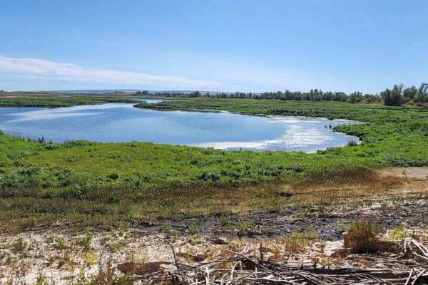
Bird Reserve
This gravel road runs through a bird reserve. It is only accessible between August and October. The trail is gated, the road turns into a dirt road, and there are some narrower areas, but there is nothing to be concerned about. It would be best if you were careful of upcoming traffic as you might ha...
Learn more about Bird Reserve
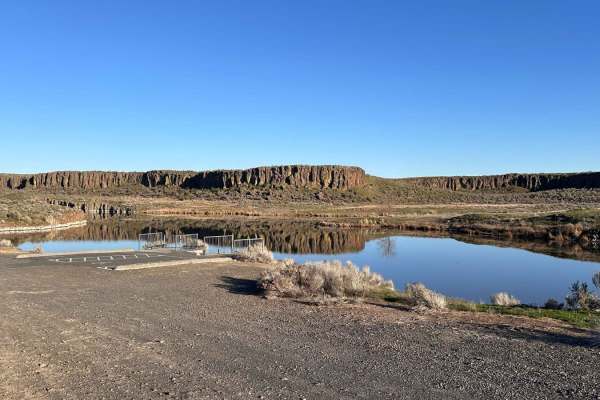
Seep Lake
This route into Seep Lakes area takes you to many possible campsites at the different lakes. A Discover Pass or vehicle pass is required in the area. The road is nicely groomed and easily driven with a 2WD vehicle to the campsites and lakes. There appear to be plenty of spur roads on the map; howev...
Learn more about Seep Lake
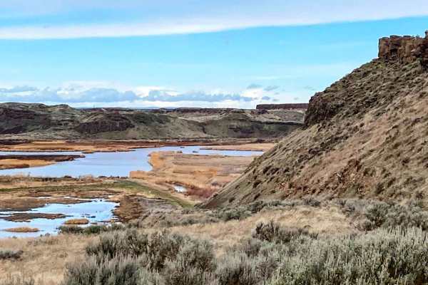
Columbia National Wildlife Refuge Lake Tour
This scenic off-road trail through Columbia National Wildlife Refuge offers a mix of packed dirt, loose gravel, and some mildly rutted sections, making it a great route for almost any type of vehicle. While not overly technical, the trail can become muddy after rain, adding a bit of a challenge. Exp...
Learn more about Columbia National Wildlife Refuge Lake Tour
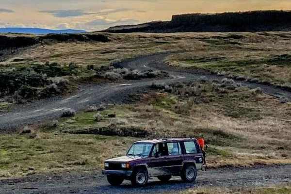
Soap Lake Road to Heart Lake
Exploring the Seep Lakes Unit of the Columbia Basin Complex on the route to Heart Lake via Soap Lake Road is a unique off-road experience that blends scenic driving with rich geological and ecological history. This trail runs through the Columbia National Wildlife Refuge, a landscape marked by drama...
Learn more about Soap Lake Road to Heart Lake
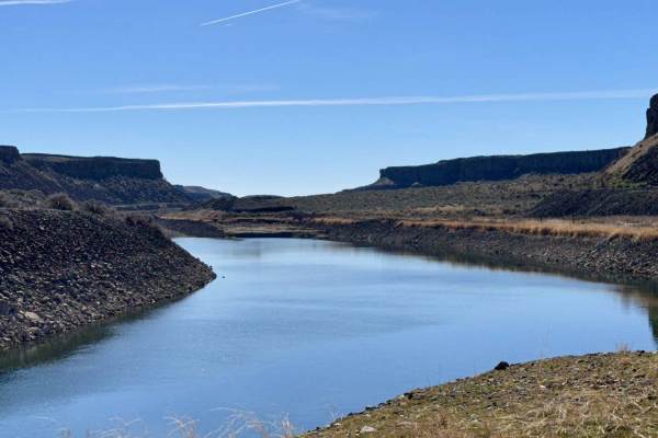
Trail Lake Coulee
This road follows between the Main Canal and Trail Lake. The dirt road is rocky and bumpy but is 2WD capable. There are plenty of spots to park, camp, and fish along Trail Lake, especially when the lake is low. At the end of the levy is where the Main Canal flows out of the mountainside all the way ...
Learn more about Trail Lake Coulee
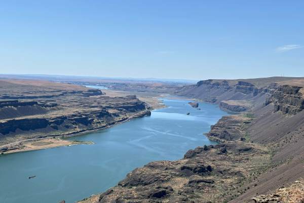
Lake Lenore Overlook
This is a short but rewarding route. This route goes down a farm road between private fields to public lands access that opens up to views that are breathtaking and incredible. The route ends on an overlook that is 1000 feet above the Sun Lakes. The view allows you to look from Banks Lake all the ...
Learn more about Lake Lenore Overlook
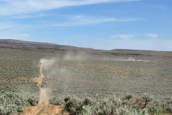
Sagebrush Flats Cattle Trail
This is a very narrow two-track that runs through mostly free-range country. The route runs through mostly public land, but partially through private land. The route also goes through a couple of gates. Please leave these as you found them. This is cattle country, and the gates are to keep animal...
Learn more about Sagebrush Flats Cattle Trail
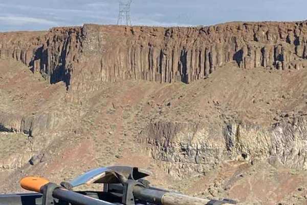
Frenchman Coulee Tour
Most travelers explore the south side of Frenchman Coulee and completely overlook the solitude of the north side. The spur trails lead you to various vantage points along the coulee rim. Each of those spurs lead to potential dispersed campsites right on the cliff edge. The far west side of the route...
Learn more about Frenchman Coulee Tour
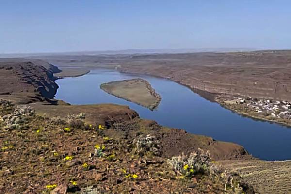
Tekison Creek Road
The trail is designated as a green dot road and consists of compacted dirt mixed with sharp basalt rocks, which gives it a difficulty rating of 1. Located in a high desert area, this trail is known for its windy conditions. As you traverse the trail, you'll have the opportunity to see a windmill far...
Learn more about Tekison Creek Road
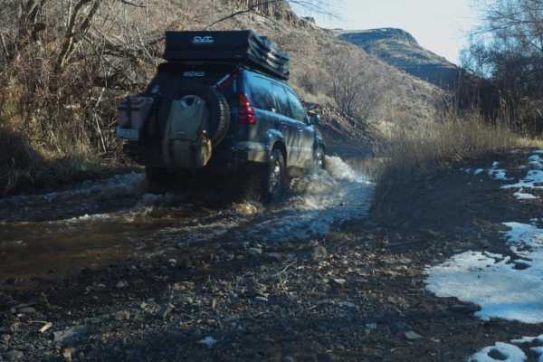
Douglas Creek Creekside Campsite
This trail is gorgeous and features views unique to eastern Washington. There are a few shallow water crossings and some light mud. Some of the water crossings in the area have large rocks, so take it slow. Be aware of huge potholes, and maintain a slower speed for that reason. This particular path ...
Learn more about Douglas Creek Creekside Campsite
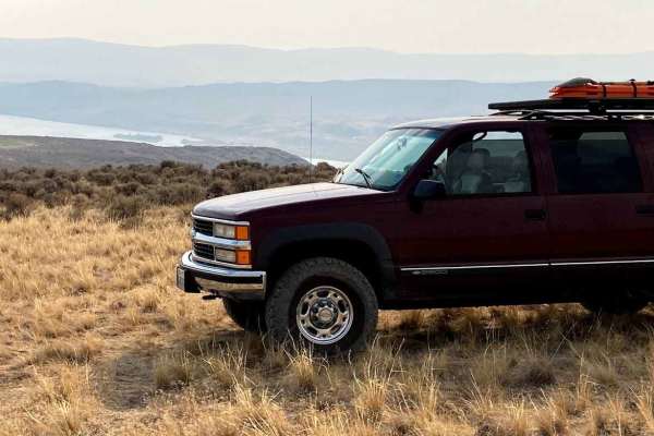
Wild Horse Monument
This scenic 1.6-mile trail near Vantage, Washington, is perfect for beginner offroaders and families looking to explore Bureau of Land Management (BLM) land just beyond the iconic Wild Horse Monument. Offering a natural step up for those testing their vehicle's capabilities, this route begins near I...
Learn more about Wild Horse Monument
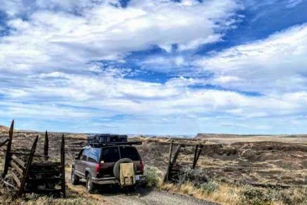
Jackknife Ridge Road
Jackknife Ridge Road takes you from the Columbia River at Whiskey Dick Creek, up and over Jackknife Ridge. This recorded route ends at Skookumchuck Creek, which may or may not be passible depending on the time of year. This route has beautiful views along the way, and a variety of terrain to navig...
Learn more about Jackknife Ridge Road
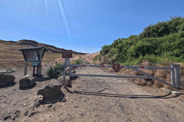
Jacknife Ridge Road
Jackknife Ridge Road is a 13.9-mile point-to-point dirt and rock route that winds through Ginkgo Petrified Forest State Park and the Whiskey Dick Wildlife Area, offering views of the Columbia River and multiple pull-offs along the way. Starting from the southern end, a locked gate requires a free pe...
Learn more about Jacknife Ridge Road
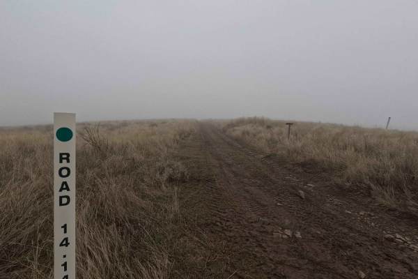
Road 14.14
Road 14.14 is a 1.3-mile out-and-back trail that follows a ridgeline, ending at a road closed sign near Cape Horn. Offering stunning views of Brewton Gulch to the south and the Columbia River to the north, this trail is a shelf road with sections of small ruts, loose fist-sized rocks, and one mud ho...
Learn more about Road 14.14
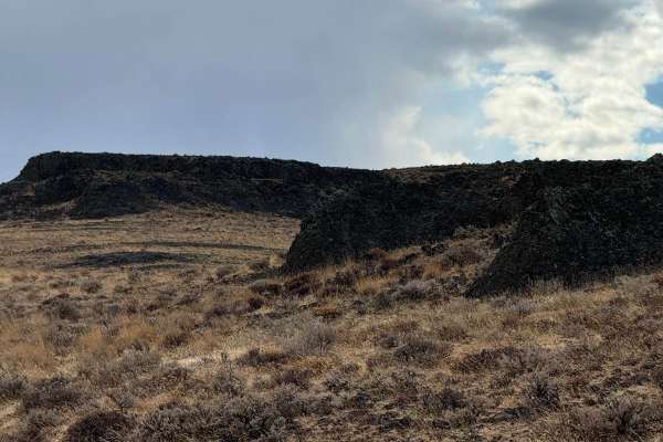
Road 19
Road 19 connects Jackknife Ridge Road to Quilomene Ridge Road. It is a descent into a valley with an ascent on the opposite side. There could be water to cross at the lowest point depending on the season. Depending on the direction expect either a notable decent or asent.
Learn more about Road 19
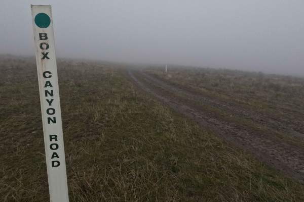
Box Canyon Road
Box Canyon Road is a 2.4-mile out-and-back trail branching off Quilomene Ridge Road and leading to an overlook with views of Box Canyon to the north and the Columbia River Gorge on clear days. The road surface begins as dirt with embedded rocks and sections of ruts that can become muddy following we...
Learn more about Box Canyon Road
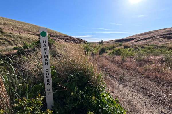
Hartman Creek Road
Hartman Creek Road is a 4.6-mile point-to-point route that connects Skookumchuck Crossover Road and the Wildhorse Windfarm. The route can be difficult to follow in places due to overgrowth, with grass obscuring sections of the trail and making rutted and rocky areas harder to see. Conditions improve...
Learn more about Hartman Creek Road
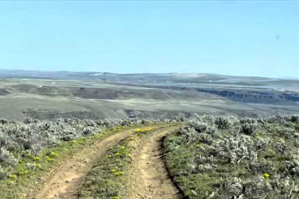
Little Brush Creek Road
This trail consists of hard-packed dirt and sharp basalt rocks that can easily puncture a tire. It includes steep climbs and descents. It is advisable to carry a spare tire and a tire patch kit. The wide-open terrain offers visibility for many miles in any direction, and there are pullouts available...
Learn more about Little Brush Creek Road
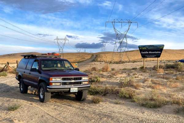
Saddle Mountain Rim Tour
The Saddle Mountains Rim Tour trail offers a scenic off-road adventure with sweeping views of the Columbia Basin. This route features a mix of sandy washes, rocky climbs, and ridgeline trails, making it a fun challenge for high-clearance 4x4s. Spring brings vibrant wildflowers, while fall offers coo...
Learn more about Saddle Mountain Rim Tour
Beginner ATV trails near Moses Lake North, Washington
Explore ATV-friendly trails near you. These trails are accessible for vehicles up to 50 inches wide, perfect for ATVs and smaller off-road machines.
Sand Dunes Site
This is a gravel road to the sand dunes site with some washboard, lots of dust, and dunes with overgrown vegetation. It's a very easy gravel road, with minor elevation, this portion can be done in any season, day or night. No pass is required. Vehicles are not allowed to go off-path, and certain are...
Learn more about Sand Dunes Site
Bird Reserve
This gravel road runs through a bird reserve. It is only accessible between August and October. The trail is gated, the road turns into a dirt road, and there are some narrower areas, but there is nothing to be concerned about. It would be best if you were careful of upcoming traffic as you might ha...
Learn more about Bird Reserve
Seep Lake
This route into Seep Lakes area takes you to many possible campsites at the different lakes. A Discover Pass or vehicle pass is required in the area. The road is nicely groomed and easily driven with a 2WD vehicle to the campsites and lakes. There appear to be plenty of spur roads on the map; howev...
Learn more about Seep Lake
Frenchman Coulee Tour
Most travelers explore the south side of Frenchman Coulee and completely overlook the solitude of the north side. The spur trails lead you to various vantage points along the coulee rim. Each of those spurs lead to potential dispersed campsites right on the cliff edge. The far west side of the route...
Learn more about Frenchman Coulee Tour
Beginner UTV/side-by-side trails near Moses Lake North, Washington
Find UTV and side-by-side trails near you. These trails accommodate vehicles up to 60 inches wide, ideal for UTVs, side-by-sides, and wider off-road rigs.
Sand Dunes Site
This is a gravel road to the sand dunes site with some washboard, lots of dust, and dunes with overgrown vegetation. It's a very easy gravel road, with minor elevation, this portion can be done in any season, day or night. No pass is required. Vehicles are not allowed to go off-path, and certain are...
Learn more about Sand Dunes Site
Bird Reserve
This gravel road runs through a bird reserve. It is only accessible between August and October. The trail is gated, the road turns into a dirt road, and there are some narrower areas, but there is nothing to be concerned about. It would be best if you were careful of upcoming traffic as you might ha...
Learn more about Bird Reserve
Seep Lake
This route into Seep Lakes area takes you to many possible campsites at the different lakes. A Discover Pass or vehicle pass is required in the area. The road is nicely groomed and easily driven with a 2WD vehicle to the campsites and lakes. There appear to be plenty of spur roads on the map; howev...
Learn more about Seep Lake
Lake Lenore Overlook
This is a short but rewarding route. This route goes down a farm road between private fields to public lands access that opens up to views that are breathtaking and incredible. The route ends on an overlook that is 1000 feet above the Sun Lakes. The view allows you to look from Banks Lake all the ...
Learn more about Lake Lenore Overlook
The onX Offroad Difference
onX Offroad combines trail photos, descriptions, difficulty ratings, width restrictions, seasonality, and more in a user-friendly interface. Available on all devices, with offline access and full compatibility with CarPlay and Android Auto. Discover what you're missing today!
Open Trail Map