
Beginner Off-Road Trails
Near Lyndonville, Vermont
Explore All Beginner Trails Near Lyndonville, Vermont
Beginner Off-Road Trails Near Lyndonville, Vermont
Discover the best beginner-friendly off-road trails near you. These easier, lower-rated trails are a great place to start — browse trail maps, check difficulty ratings, and find your next adventure.

Top of the World
This trail will bring you along the powerlines on the Vermont side of Moore Reservoir. This trail is mainly made up of gravel roads with water bars, ascents, and descents. There are many many offshoots all along the way, from mild to wild. Following the main trail can be done by most AWD vehicles wi...
Learn more about Top of the World
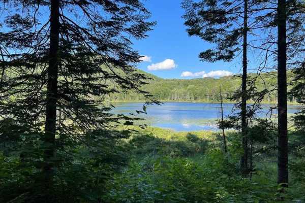
Wheeler Mountain Road
Wheeler Mountain Road is an ideal route for scenic explorers and moderate offroad drivers looking to experience a classic Vermont Class 4 road slicing through the beautiful Willoughby State Forest. Stretching approximately 3.1 miles through the rugged terrain of northern Vermont, this route provides...
Learn more about Wheeler Mountain Road
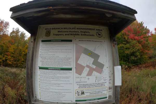
Edan Road
This is a very scenic drive that cuts through a wilderness management area and logging land. This trail was recently regraded for a logging operation so it's in great shape. There are some low wet spots, but they have a hard bottom and can be driven around. The only real challenge is the washed-out ...
Learn more about Edan Road
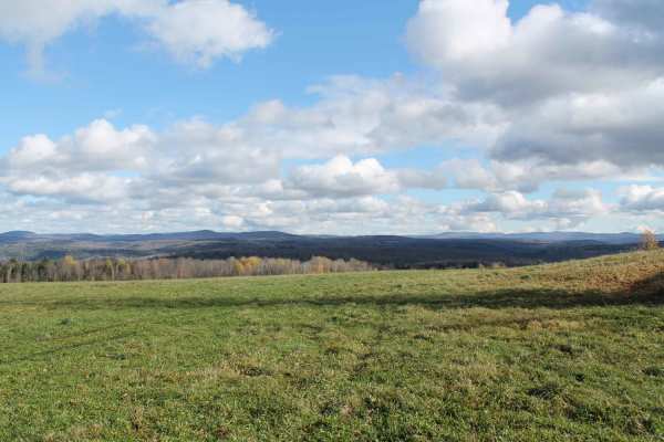
Symonds Mill Road
Symonds Mill Road offers a highly scenic, beginner-friendly back road drive through the rolling hills of Vermont, making it an excellent choice for stock four-wheel-drive vehicles, SUVs, and SxSs looking for a relaxing cruise. Stretching approximately 4.1 miles between Elmore Hill and Brown Hill, th...
Learn more about Symonds Mill Road
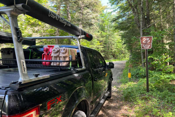
Gale River
Gale River is a well-maintained gravel road through White Mountain National Forest and has many hiking trails to access along the roadway. This winding and scenic roadway provides many views of the South Branch of the Gale River as well as designated dispersed campsites for tent and RV camping along...
Learn more about Gale River
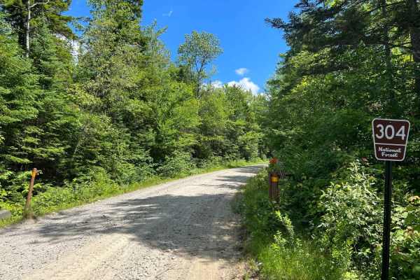
Haystack Road
Haystack Road is a well-maintained gravel forest road that ends at the North Twin hiking trailhead. When we arrived, the Forest Service was grading the road that appears to be heavily traveled for hiking. 10 or so free designated dispersed campsites are marked along the roadway and can be utilized f...
Learn more about Haystack Road
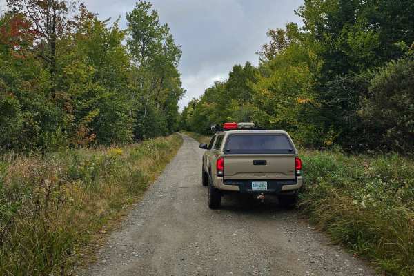
Pond Safety Road
This trail starts by following Ingerson Road where you will pass by a few old farmhouses and horse pastures. From there you will turn off onto a not very well marked road which is Pond of Safety Road. Along Pond of Safety Road, you will climb up the mountain on a decently developed dirt road through...
Learn more about Pond Safety Road
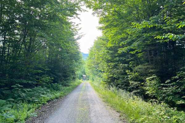
Mill Brook
Mill Brook is an easy, scenic 2.8-mile spur trail in the White Mountain National Forest, making it perfect for beginners, stock high-clearance vehicles, and scenic-seeking drivers looking to escape the crowds. Traveling through a quiet corridor of dense northern hardwoods, this route features a well...
Learn more about Mill Brook
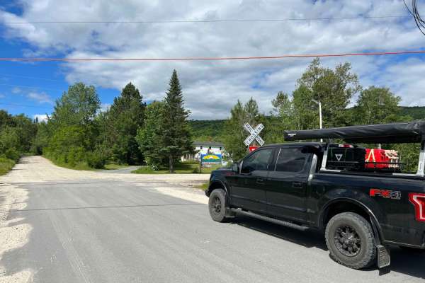
Cherry Mountain
Cherry Mountain is a fun through road that climbs in elevation to an incredible alpine lake with a view of Mount Deception. Designated dispersed campsites are scattered along the road deep within the White Mountain National Forest. This road is well maintained gravel with some areas washed out in th...
Learn more about Cherry Mountain
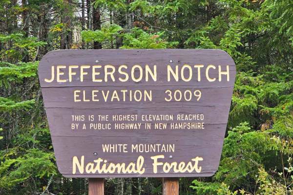
Jefferson Notch Road
Jefferson Notch Road is a pretty easy road that most vehicles can drive. That being said it makes it so more people can experience this road that winds next to a brook up into the mountains and brings you to the highest elevation reached by a public road in New Hampshire. Along this road, you can fi...
Learn more about Jefferson Notch Road
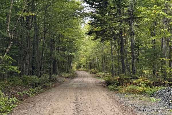
Pine Mountain Notch (Dolly Copp Rd)
Pine Mountain Notch – Dolly Copp Road is a well-maintained forest road situated within the White Mountain National Forest. Typically closed during the winter months, the road provides a scenic connection between Randolph, New Hampshire, and Route 16 just south of Gorham. The route also affords acces...
Learn more about Pine Mountain Notch (Dolly Copp Rd)
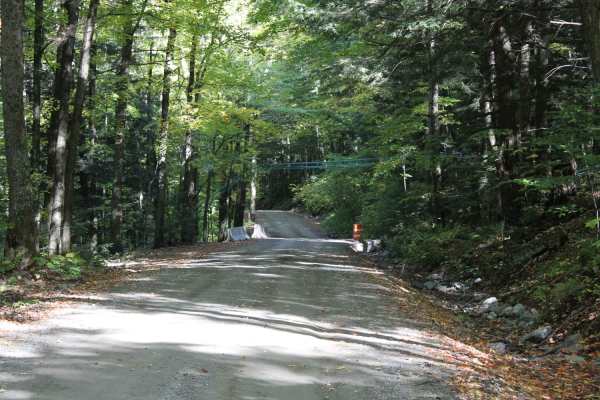
Explore Vermont
This route is comprised of Vermont dirt farm roads and some class 4 roads. This scenic drive samples some of northern Vermont's beautiful country settings and looks into the farming community. It is not a very technical drive, just very beautiful and enjoyable. Great drive during the summer but the ...
Learn more about Explore Vermont
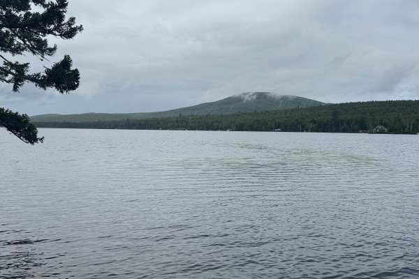
Success Pond Road
Success Pond Road is a maintained gravel and dirt road extending northeast from Berlin, New Hampshire. Shortly after leaving Berlin, the road provides access to several OHV trailheads and staging areas. Continuing northeast, it crosses into Maine before reaching Success Pond, where a small parking a...
Learn more about Success Pond Road
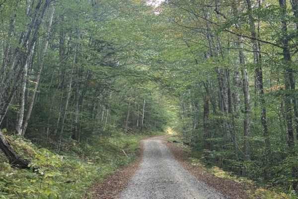
Hubbard Brook Road
Hubbard Brook Road is a well-maintained U.S. Forest Service road located in the southwestern section of New Hampshire’s White Mountain National Forest. Conveniently accessed from Interstate 93, this route offers a quiet, scenic drive that sees far less traffic than many of the forest’s main corridor...
Learn more about Hubbard Brook Road
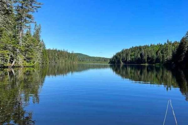
Indian Stream Road to Terrill Pond
This is an amazing out-and-back adventure that ends at the Canadian Border or at a beautiful pound called Terrill Pond. The road is a remote logging road system that has many gated offshoots that open and close based on logging activity and season. The road surface is mainly well maintained but ther...
Learn more about Indian Stream Road to Terrill Pond
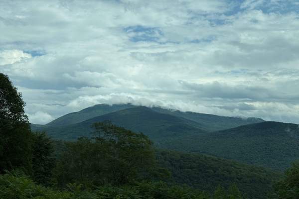
Tripoli Road
Tripoli Road is a well-maintained forest road that connects the Town of Waterville Valley to Thornton via a pass between Mt. Tecumseh and Mt. Osceola. This road is easily passable by any vehicle and is a popular road for access to hiking trails on Mt. Tecumseh and Mt. Osceola, as well as numerous ca...
Learn more about Tripoli Road
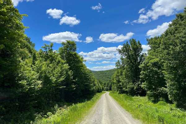
Cedar Stream Road
This is an amazing route that circles around both the second Connecticut Lake and Lake Francis and crosses the upper Connecticut river with fly-fishing-only access. There are a few backcountry trout ponds that are walk-in only off the route. The road is a well-maintained logging road with active log...
Learn more about Cedar Stream Road
North Pond Road
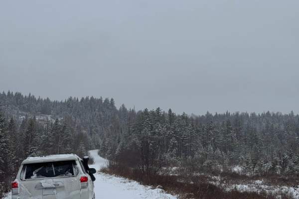
North Pond Road extends northeast from Success Pond Road and eventually connects with Maine Route 26/Bear River Road, just north of Grafton Notch State Park. The road is a well-maintained dirt and gravel route that can be traveled comfortably by most vehicles. Running through the valley between Red ...
Learn more about North Pond Road
White Wolf Trail
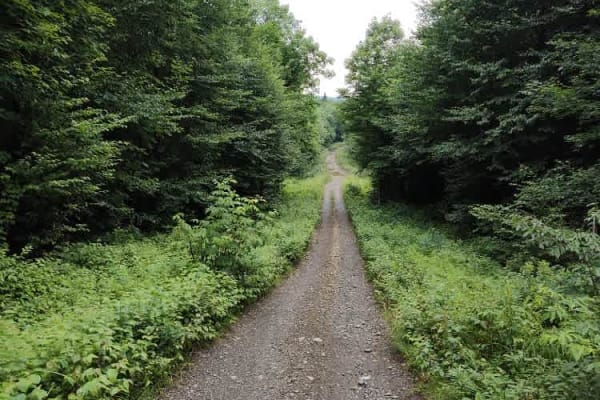
The route has many elevation changes. A few of them also have basketball-sized boulders and sections of ledge. FWD isn't required but will be an advantage. Some areas have nice mountain views. Plenty of wildlife can be seen. Plenty of evening deer and once in a while you will spot a moose.
Learn more about White Wolf Trail
Wild River Road
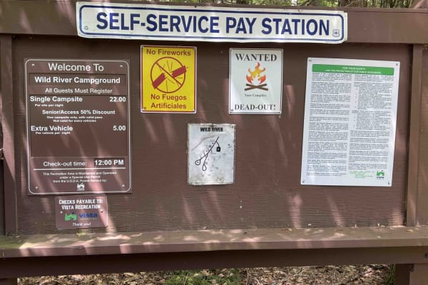
This is a beautiful in-and-out following the Wild River along a seasonally closed gravel road. There are a lot of scenic views to enjoy of the river and gorge. The road dead ends at the Wild River Campground managed by the White Mountains National Forest. There are lots of hiking trailheads on the s...
Learn more about Wild River Road
Beginner ATV trails near Lyndonville, Vermont
Explore ATV-friendly trails near you. These trails are accessible for vehicles up to 50 inches wide, perfect for ATVs and smaller off-road machines.
Top of the World
This trail will bring you along the powerlines on the Vermont side of Moore Reservoir. This trail is mainly made up of gravel roads with water bars, ascents, and descents. There are many many offshoots all along the way, from mild to wild. Following the main trail can be done by most AWD vehicles wi...
Learn more about Top of the World
White Wolf Trail
The route has many elevation changes. A few of them also have basketball-sized boulders and sections of ledge. FWD isn't required but will be an advantage. Some areas have nice mountain views. Plenty of wildlife can be seen. Plenty of evening deer and once in a while you will spot a moose.
Learn more about White Wolf Trail
Wade Hill Road
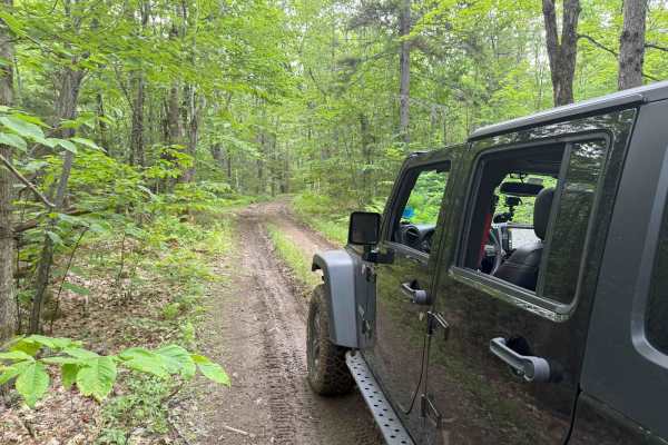
Wade Hill Road is a Class 6 road in Hebron, NH. You can run it in both directions. Entering from the east side, you begin to ascend. You will reach the top in the middle of the trail. The trail travels through thick woods. It is muddy, has small ruts, and some loose, smaller rocks Weather will have...
Learn more about Wade Hill Road
Berry Hill to Old Country Road Loop
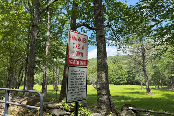
This great loop trail runs on Berry Hill and Old Country Class 6 roads in Bridgewater, NH. The trail starts and ends at the historic Bridgewater Town House (1806). Enter the access gate behind the Town House and begin an ascent up Berry Hill Road. The trail is fairly wet and covered with loose rocks...
Learn more about Berry Hill to Old Country Road Loop
Beginner UTV/side-by-side trails near Lyndonville, Vermont
Find UTV and side-by-side trails near you. These trails accommodate vehicles up to 60 inches wide, ideal for UTVs, side-by-sides, and wider off-road rigs.
Top of the World
This trail will bring you along the powerlines on the Vermont side of Moore Reservoir. This trail is mainly made up of gravel roads with water bars, ascents, and descents. There are many many offshoots all along the way, from mild to wild. Following the main trail can be done by most AWD vehicles wi...
Learn more about Top of the World
White Wolf Trail
The route has many elevation changes. A few of them also have basketball-sized boulders and sections of ledge. FWD isn't required but will be an advantage. Some areas have nice mountain views. Plenty of wildlife can be seen. Plenty of evening deer and once in a while you will spot a moose.
Learn more about White Wolf Trail
Perry Brook - Red Line Trail
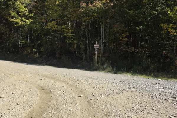
The trail is roughly 12 feet wide and has traffic in both directions. This is a section of a smaller trail that connects on both ends to more of a logging trail with only OHRVs allowed. If it's dry, it will be dusty. If it's wet, it will be muddy. Saturday is typically the most trafficked.
Learn more about Perry Brook - Red Line Trail
Wade Hill Road
Wade Hill Road is a Class 6 road in Hebron, NH. You can run it in both directions. Entering from the east side, you begin to ascend. You will reach the top in the middle of the trail. The trail travels through thick woods. It is muddy, has small ruts, and some loose, smaller rocks Weather will have...
Learn more about Wade Hill Road
The onX Offroad Difference
onX Offroad combines trail photos, descriptions, difficulty ratings, width restrictions, seasonality, and more in a user-friendly interface. Available on all devices, with offline access and full compatibility with CarPlay and Android Auto. Discover what you're missing today!
Open Trail Map