
Beginner Off-Road Trails
Near Julian, California
Explore All Beginner Trails Near Julian, California
Beginner Off-Road Trails Near Julian, California
Discover the best beginner-friendly off-road trails near you. These easier, lower-rated trails are a great place to start — browse trail maps, check difficulty ratings, and find your next adventure.
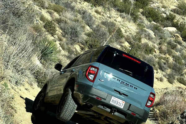
Oriflamme Canyon Loop
This trail starts and ends in Banner and loops around Chariot Mountain and goes into the Oriflamme Canyon. The trail is open to all types of 4x4s and dirt bikes, although the entrance through Banner is only open to highway-legal vehicles as that entrance is only accessible by the highway. You will e...
Learn more about Oriflamme Canyon Loop
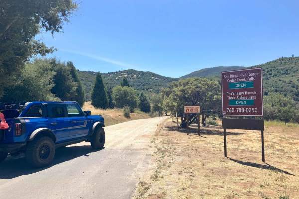
Cedar Creek Loop
This trail cuts through a beautiful stretch of backcountry in eastern San Diego County and passes near hiking trailheads to three different waterfalls. The loop starts and finishes on graded dirt roads and has a more serious middle section that runs high along several canyon walls above several cree...
Learn more about Cedar Creek Loop
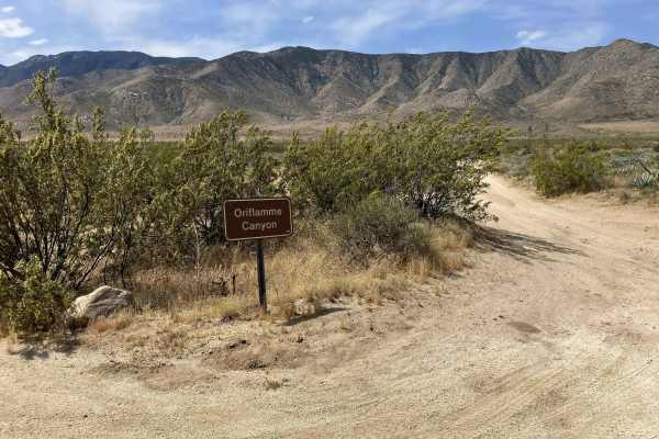
Oriflamme Canyon Backdoor
This short single vehicle-width trail connects the Oriflamme Canyon Loop trail with Highway S2, allowing vehicles to enter/exit the Oriflamme Canyon area from the eastern side. It is primarily a dirt road that winds through and around a sandy wash. There are also occasional large rocks that are easi...
Learn more about Oriflamme Canyon Backdoor
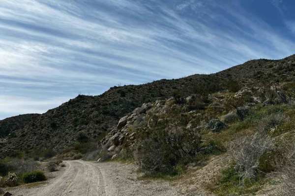
Grapevine Canyon Trail
The trail is mainly hard-packed dirt and some sand once in the canyon. This trail passes through private property and has signs around the area, so just be respectful when driving through the first 4 miles of the northern section of the trail. The rest of the trail goes through the Anza-Borrego Dese...
Learn more about Grapevine Canyon Trail
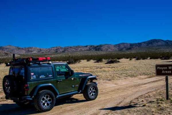
North Pinyon Mountain Road
This trail traverses a scenic desert landscape. It is an out-and-back trail with designated areas for dispersed camping. A spur trail offers a scenic and level campsite equipped with a fire ring. Ground fires are strictly prohibited in Anza-Borrego Desert State Park to safeguard the desert soil. Cam...
Learn more about North Pinyon Mountain Road
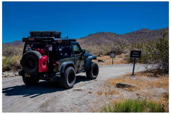
Plum Canyon Road
Plum Canyon Road is an out-and-back trail offering scenic vistas. The road’s surface comprises smooth sand and granite. The primary road stretches 1.8 miles, with a spur trail leading to the trailhead of the California Riding & Hiking Trail. The main trail terminates at a dead end, ideal for camping...
Learn more about Plum Canyon Road
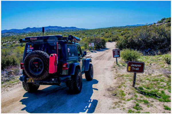
Jasper Trail
The Jasper Trail, a 5.2-mile dirt road, traverses the border of the Anza-Borrego Desert State Wilderness. It stretches north-south from Highway 22, known as “Montezuma Valley Road,” to Grapevine Canyon Road. The trail is composed of sand and gravel, primarily granite, which characterizes the desert ...
Learn more about Jasper Trail
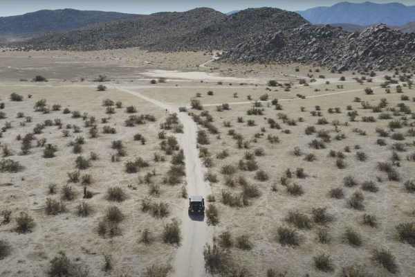
Blair Valley Loop
Blair Valley Loop is a 7.9-mile point-to-point trail rated 3 of 10 within the California Anza-Borrego Desert State Park. Blair Valley area is a collection of two small valleys with several attractions to see. The trip around the loop road through these valleys passes three major attractions. The mos...
Learn more about Blair Valley Loop
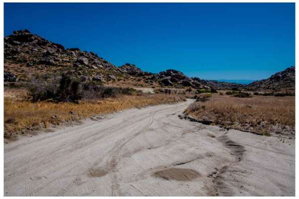
Old Culp Valley Road
The Old Culp Valley Road is a road that travels along the border of the Culp Valley Preserve in Anza Borrego State Park. The road is 4 miles from the trailhead to the junction of the Jasper Trail; although you can travel to the end, you will leave the Anza Borrego State Park and enter private proper...
Learn more about Old Culp Valley Road
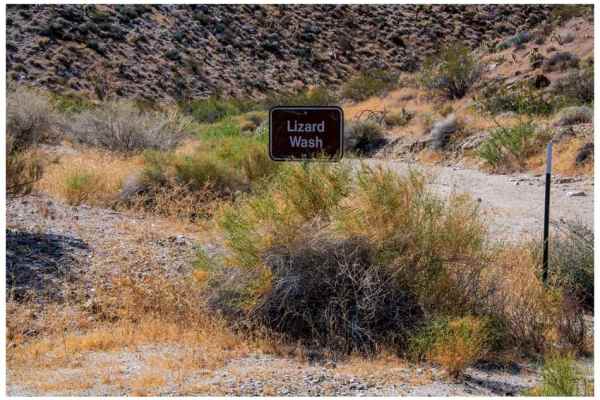
Lizard Canyon
Lizard Canyon is a 1.5-mile out-and-back trail that offers excellent scenery and photography opportunities despite its short length. It starts at an elevation of 1539 feet and ends at 2012 feet, a gain of 476 feet. The trail parallels Lizard Wash, which is located within the canyon and is marked as ...
Learn more about Lizard Canyon
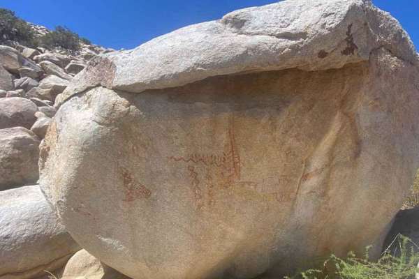
Blair Valley Pictographs
Blair Valley Pictographs is a 2.8-mile out-and-back trail rated 3 out of 10 within the California Anza-Borrego Desert State Park. This short dirt track ends at a small parking area and trailhead. A BLM informational sign is located here providing information about the location of the pictograph rock...
Learn more about Blair Valley Pictographs
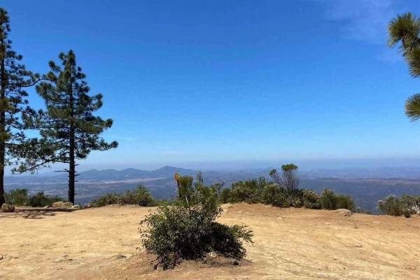
11S04 Black Mountain
11S04 Black Mountain is a 10.8-mile out-and-back located in the Cleveland National Forest, Palomar Ranger District. This is a limited-use trail restricted to street-legal vehicles. The trail is rated 3 of 10 but has the potential to be worse during and right after seasonal weather and is subject to ...
Learn more about 11S04 Black Mountain
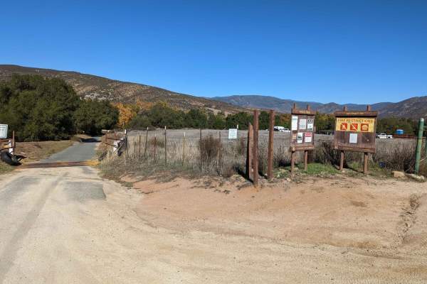
Orosco Ridge Truck Trail 12S02
This trail winds its way through the Cleveland Forest from Pamo Road to the Guejito Truck Trail. The trail is not very well maintained. It is very rutted. The trail takes you up and over some good hills in Pamo Valley. Parts of the trail are very scenic and beautiful.
Learn more about Orosco Ridge Truck Trail 12S02
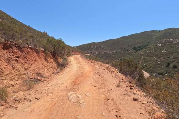
Santa Ysabel Truck Trail
Santa Ysabel Truck Trail is a narrow, shelf-road trail running through a section of the Cleveland National Forest in Ramona. The trail follows along Santa Ysabel Creek and offers beautiful views over the mountains, and leads to several hiking and recreation areas. The terrain along the route is rutt...
Learn more about Santa Ysabel Truck Trail
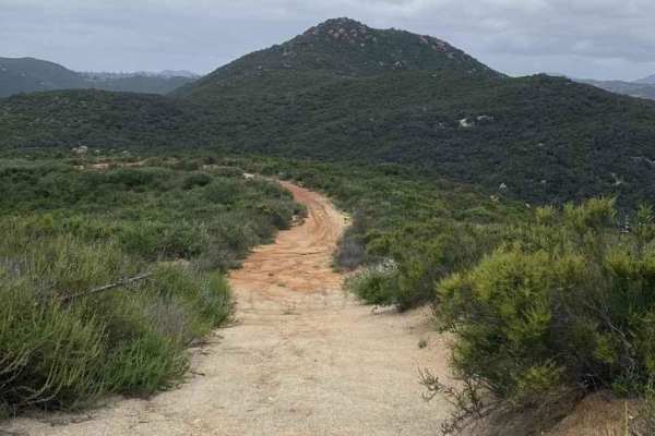
11S03 Lusardi Truck Trail
11S03 Lusardi Truck Trail is an 11.6-mile out-and-back trail rated 3 of 10 located within the Cleveland National Forest, Trabuco Ranger District. Lusardi Truck Trail ascends the Carney Canyon between the Black Butte (west) and Black Mountain (east) to the National Forest boundary at 5.8 miles. The t...
Learn more about 11S03 Lusardi Truck Trail
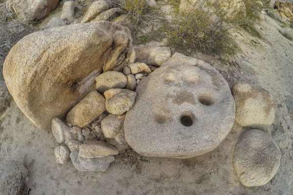
Mine Wash
Mine Wash is a 9.6-mile out-and-back trail rated 3 of 10 within the California Anza-Borrego Desert State Park. The state park is a "Stay the Trail" area and the trail is restricted to street-legal vehicles. Although the trail can be driven 4.8 miles into the Pinyon Mountains to a turnaround point, m...
Learn more about Mine Wash
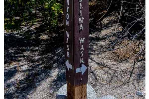
Nolina Wash Road
Nolina Wash Road is a major spur road off of Pinyon Canyon. It is an out-and-back trail ending at a large campsite. The length is 2.1 miles with a gain of only 549 feet. The trail is like that of Pinyon Canyon; sand mixed with granite gravel. Watch out for the partially submerged rocks. It is an eas...
Learn more about Nolina Wash Road
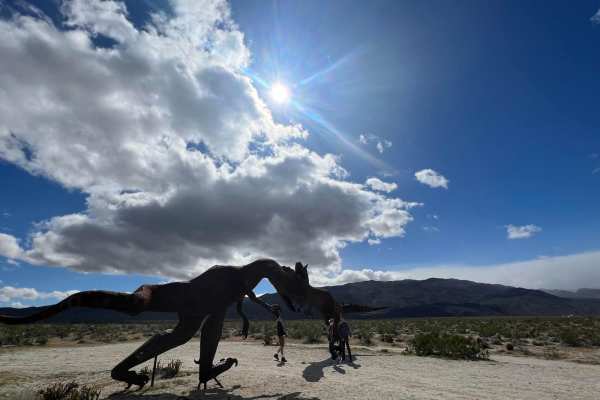
Hidden Dinosaurs
This trail leads to two dinosaur sculptures that are often missed by visitors to the area due to the fact that the sculptures are located farther off the highway and unless you know about these sculptures you won't be able to find them. The dinosaurs are made of metal and are about 12-15 ft high. Pa...
Learn more about Hidden Dinosaurs
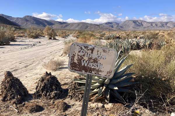
Pinyon Canyon
This is an out-and-back trail to a dead-end canyon that begins off Highway 78 next to an Emergency Callbox station. It starts out as a hard-packed, narrow dirt road, which remains fairly level over the full length of the trail. There are occasional patches of shallow sand and stretches of washboard....
Learn more about Pinyon Canyon
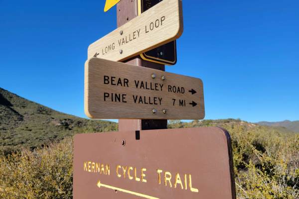
Bear Valley Road
This out-and-back OHV trail is open to all types, from 4X4s down to dirt bikes. A small parking lot is at the beginning of the trail, right off the freeway. A displayed adventure pass is required. The trail itself offers a little bit of everything from rocky sections to ruts, puddle (water) crossing...
Learn more about Bear Valley Road
Beginner ATV trails near Julian, California
Explore ATV-friendly trails near you. These trails are accessible for vehicles up to 50 inches wide, perfect for ATVs and smaller off-road machines.
Oriflamme Canyon Loop
This trail starts and ends in Banner and loops around Chariot Mountain and goes into the Oriflamme Canyon. The trail is open to all types of 4x4s and dirt bikes, although the entrance through Banner is only open to highway-legal vehicles as that entrance is only accessible by the highway. You will e...
Learn more about Oriflamme Canyon Loop
Orosco Ridge Truck Trail 12S02
This trail winds its way through the Cleveland Forest from Pamo Road to the Guejito Truck Trail. The trail is not very well maintained. It is very rutted. The trail takes you up and over some good hills in Pamo Valley. Parts of the trail are very scenic and beautiful.
Learn more about Orosco Ridge Truck Trail 12S02
Hidden Dinosaurs
This trail leads to two dinosaur sculptures that are often missed by visitors to the area due to the fact that the sculptures are located farther off the highway and unless you know about these sculptures you won't be able to find them. The dinosaurs are made of metal and are about 12-15 ft high. Pa...
Learn more about Hidden Dinosaurs
Bear Valley Road
This out-and-back OHV trail is open to all types, from 4X4s down to dirt bikes. A small parking lot is at the beginning of the trail, right off the freeway. A displayed adventure pass is required. The trail itself offers a little bit of everything from rocky sections to ruts, puddle (water) crossing...
Learn more about Bear Valley Road
Beginner UTV/side-by-side trails near Julian, California
Find UTV and side-by-side trails near you. These trails accommodate vehicles up to 60 inches wide, ideal for UTVs, side-by-sides, and wider off-road rigs.
Oriflamme Canyon Loop
This trail starts and ends in Banner and loops around Chariot Mountain and goes into the Oriflamme Canyon. The trail is open to all types of 4x4s and dirt bikes, although the entrance through Banner is only open to highway-legal vehicles as that entrance is only accessible by the highway. You will e...
Learn more about Oriflamme Canyon Loop
Orosco Ridge Truck Trail 12S02
This trail winds its way through the Cleveland Forest from Pamo Road to the Guejito Truck Trail. The trail is not very well maintained. It is very rutted. The trail takes you up and over some good hills in Pamo Valley. Parts of the trail are very scenic and beautiful.
Learn more about Orosco Ridge Truck Trail 12S02
Hidden Dinosaurs
This trail leads to two dinosaur sculptures that are often missed by visitors to the area due to the fact that the sculptures are located farther off the highway and unless you know about these sculptures you won't be able to find them. The dinosaurs are made of metal and are about 12-15 ft high. Pa...
Learn more about Hidden Dinosaurs
Bear Valley Road
This out-and-back OHV trail is open to all types, from 4X4s down to dirt bikes. A small parking lot is at the beginning of the trail, right off the freeway. A displayed adventure pass is required. The trail itself offers a little bit of everything from rocky sections to ruts, puddle (water) crossing...
Learn more about Bear Valley Road
The onX Offroad Difference
onX Offroad combines trail photos, descriptions, difficulty ratings, width restrictions, seasonality, and more in a user-friendly interface. Available on all devices, with offline access and full compatibility with CarPlay and Android Auto. Discover what you're missing today!
Open Trail Map