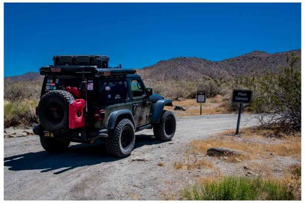
Trail Overview
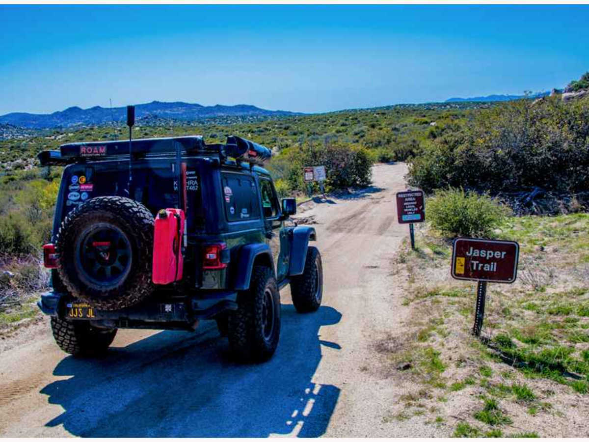
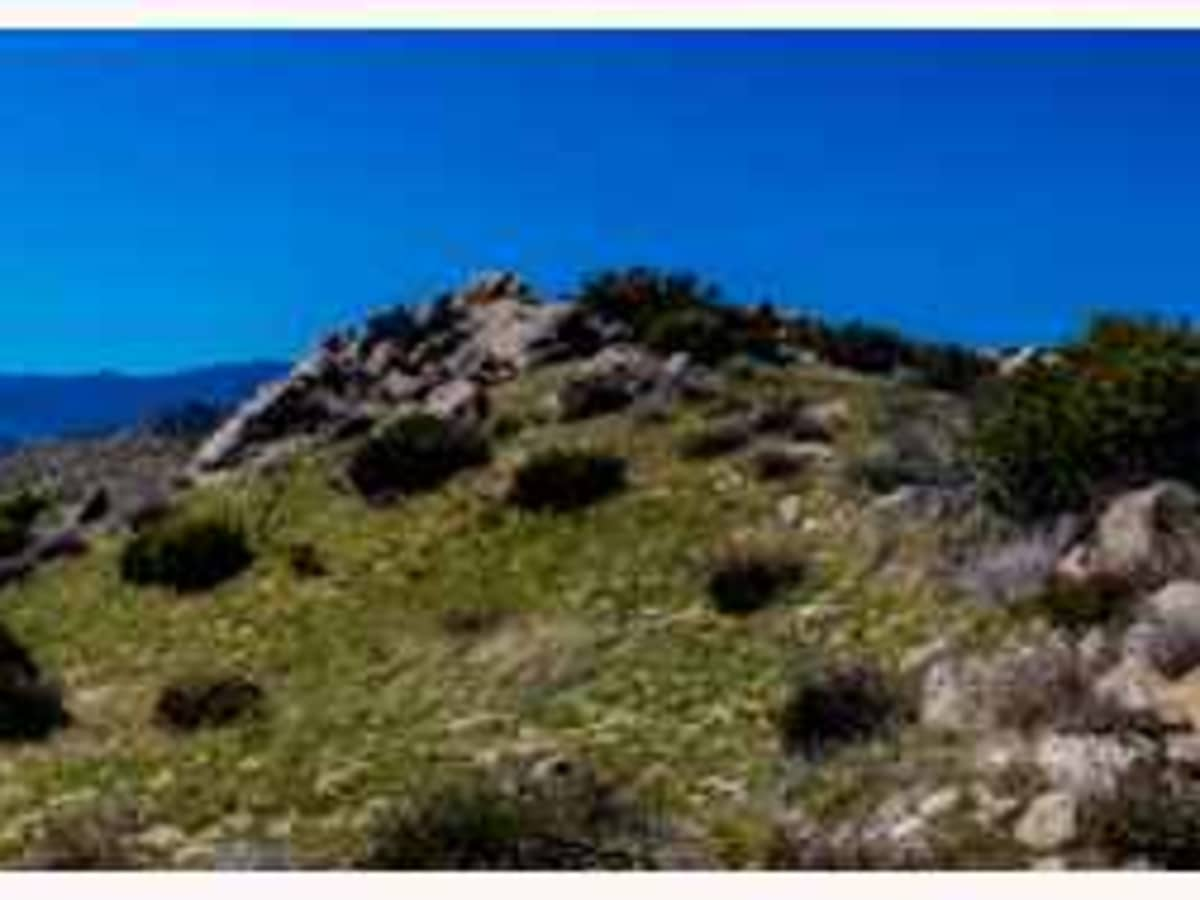
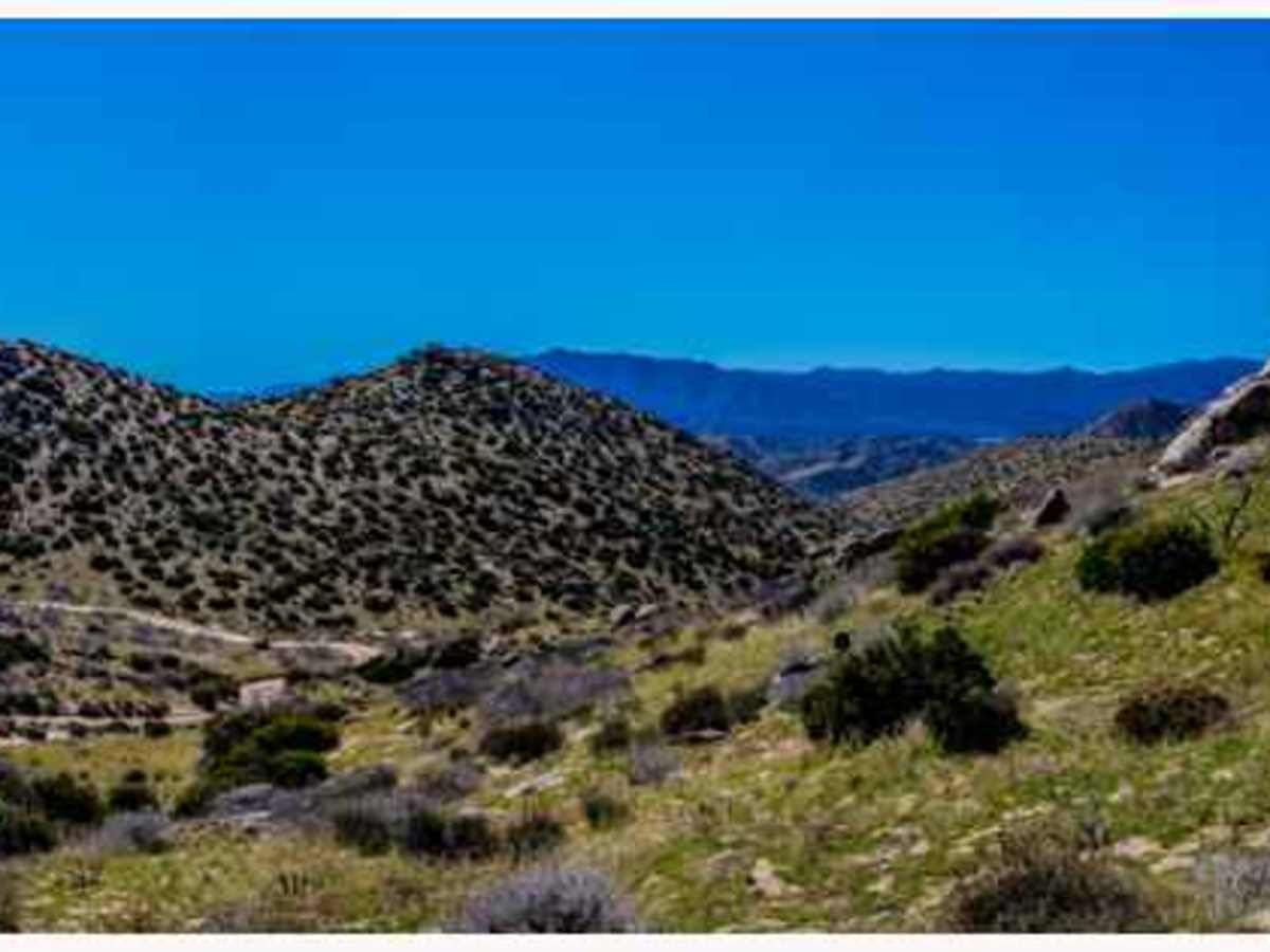
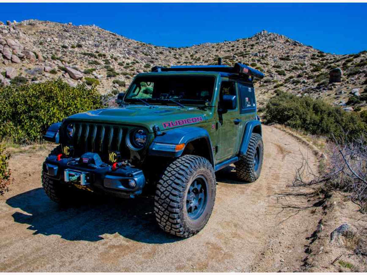
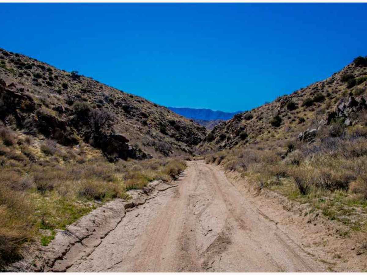
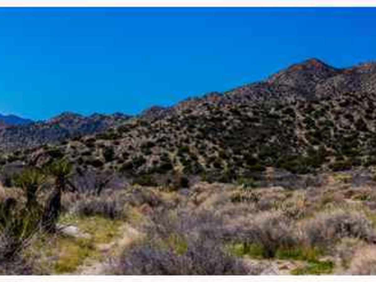
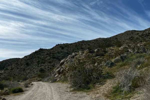
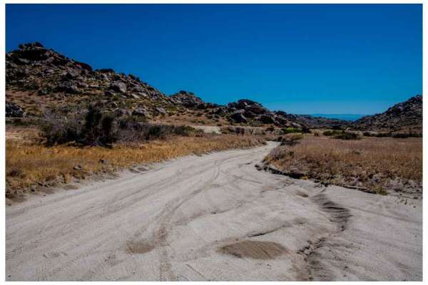
The Jasper Trail, a 5.2-mile dirt road, traverses the border of the Anza-Borrego Desert State Wilderness. It stretches north-south from Highway 22, known as “Montezuma Valley Road,” to Grapevine Canyon Road. The trail is composed of sand and gravel, primarily granite, which characterizes the desert environment. As it winds through the landscape, it presents breathtaking views of intriguing rock formations and high-altitude desert vegetation, providing ample opportunities for photography. Descending into the Anza-Borrego Desert, the trail offers panoramic vistas. Dispersed camping is available at various points along the trail. The trail commences at an elevation of 4,236 feet and descends to 2,952 feet, resulting in a loss of 1,680 feet. While considered an “easy” trail in dry weather conditions, it can become more challenging during wet weather. The trail terminates at its intersection with Grapevine Canyon Road, where it merges with Highway 78. There are side roads leading to Highway 78. The route is accessible to most high-clearance SUVs.
Difficulty
While considered an “easy” trail in dry weather conditions, it can become more challenging during wet weather. The trail terminates at its intersection with Grapevine Canyon Road, where it merges with Highway 78. There are side roads leading to Highway 78. The route is accessible to most high-clearance SUVs. The trail is composed of sand and gravel, primarily granite, which characterizes the desert environment.
History
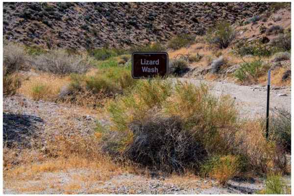
Jasper Trail in Anza-Borrego Desert State Park is a historic 12-mile route named after Ranchita cattleman Ralph Jasper, who used it to move livestock between the San Ysidro Mountains and warmer winter grazing lands. It descends through Grapevine Canyon, a key travel corridor featuring historic water sources (Stuart and Angelina springs) used by cattlemen and Native Americans.