Craig Godfrey
Jul 03, 2026
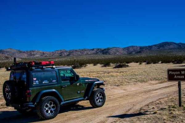
1998 Jeep Grand Cherokee
Open
DustyRough/DeterioratedWashboard
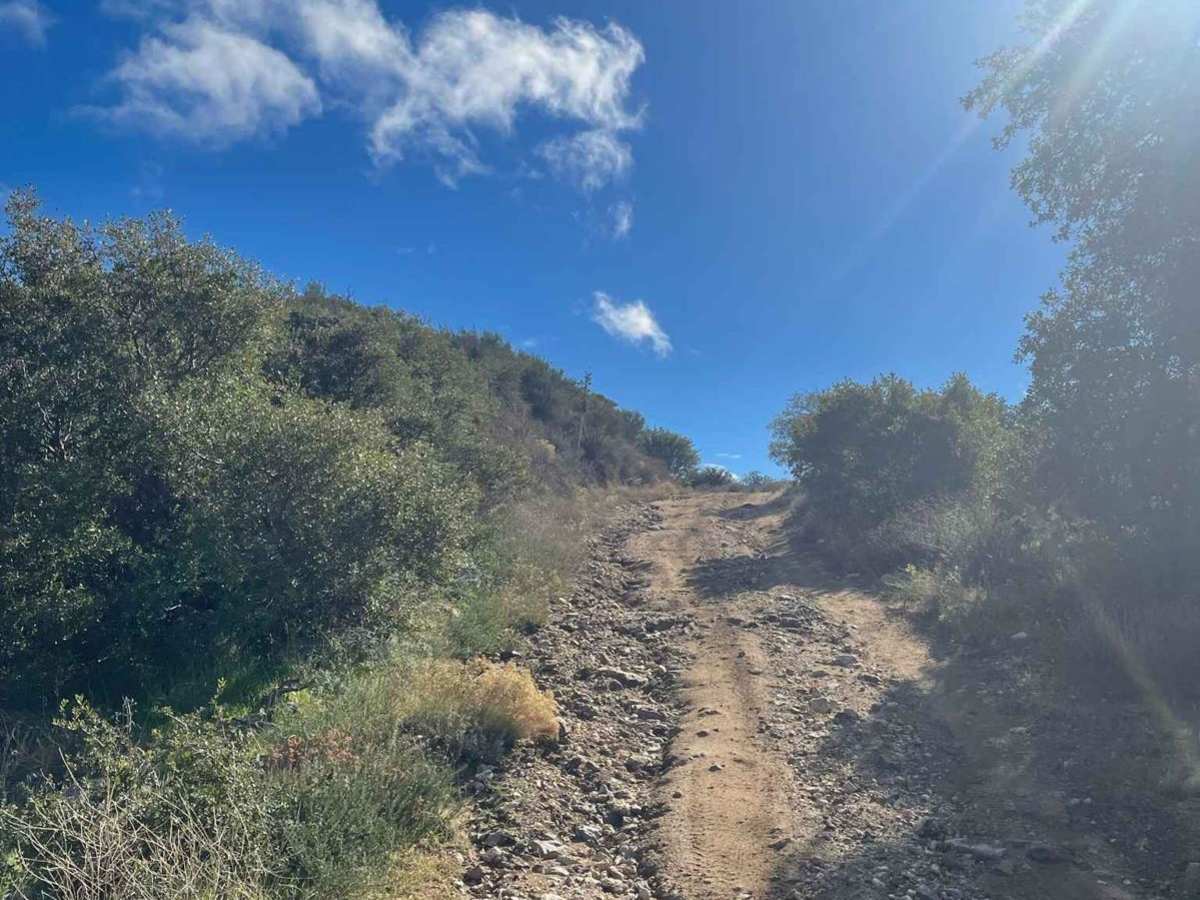
Super dry and looked like it had recently been graded
Demian Sil
May 24, 2026
Open
Normal
David H
May 23, 2026
2013 Nissan Xterra
Open
Normal
Been a year since I've been on the trail and the descent into the desert has lost it's topsoil from the re-grading last year, but it's still flat and not off camber like it used to be. Traveling back up there's pretty soft surface sand, about an inch or two, but hard pack underneath. Saw an adventure bike, a PCT easy, a lone truck, and a group of jeeps. A rough drop on the east half of the trail is gone from last year so it's easier now. Didn't even air down, though I probably should have as I could have easily gotten a small rock drilling through my siping. Simply put my Xterra in 4lo and 2nd and engine braked down the grade. Easy peasy.
Mike Eisenbraun
Mar 29, 2026
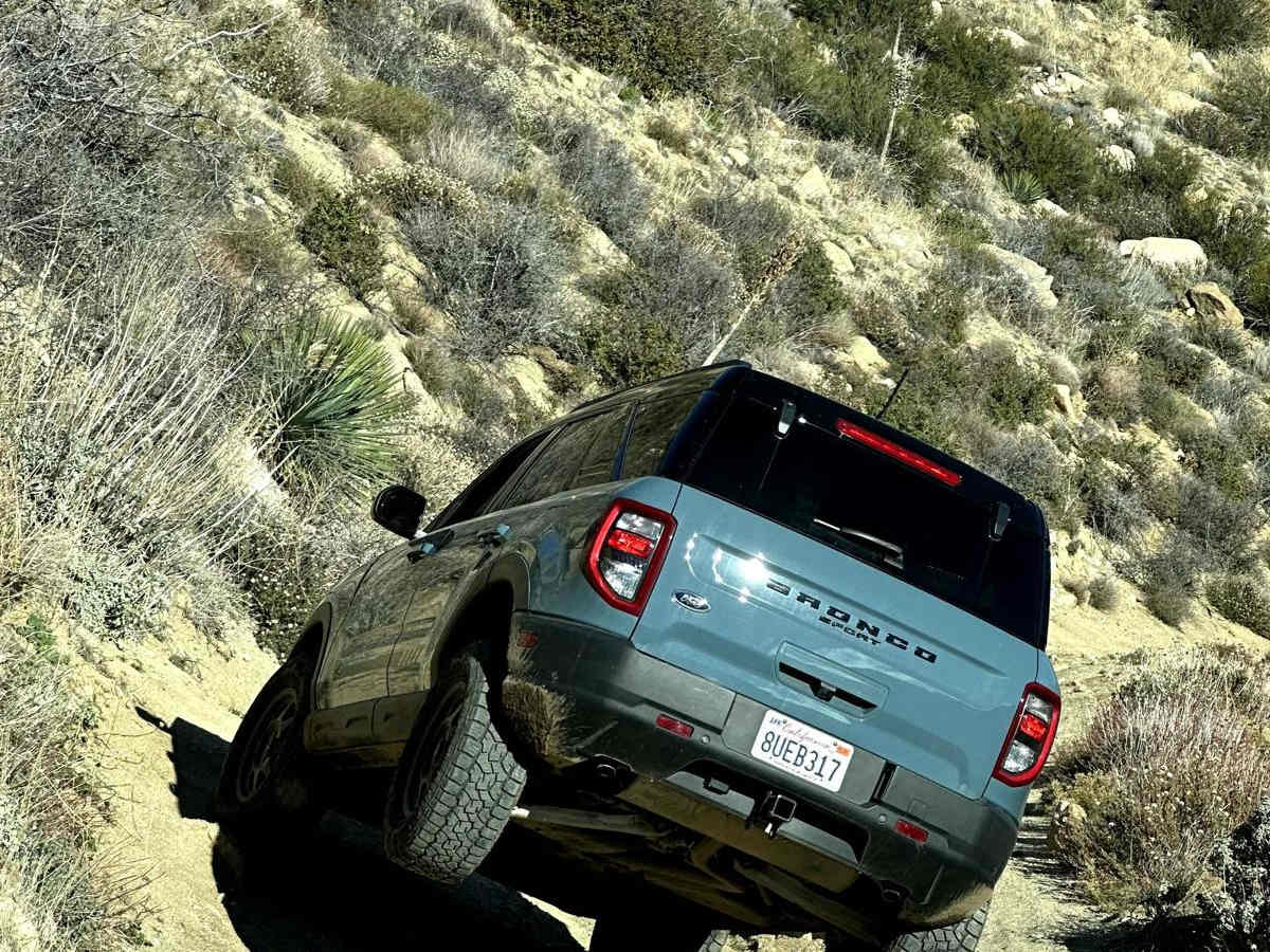
2022 Ford Bronco
Open
Normal
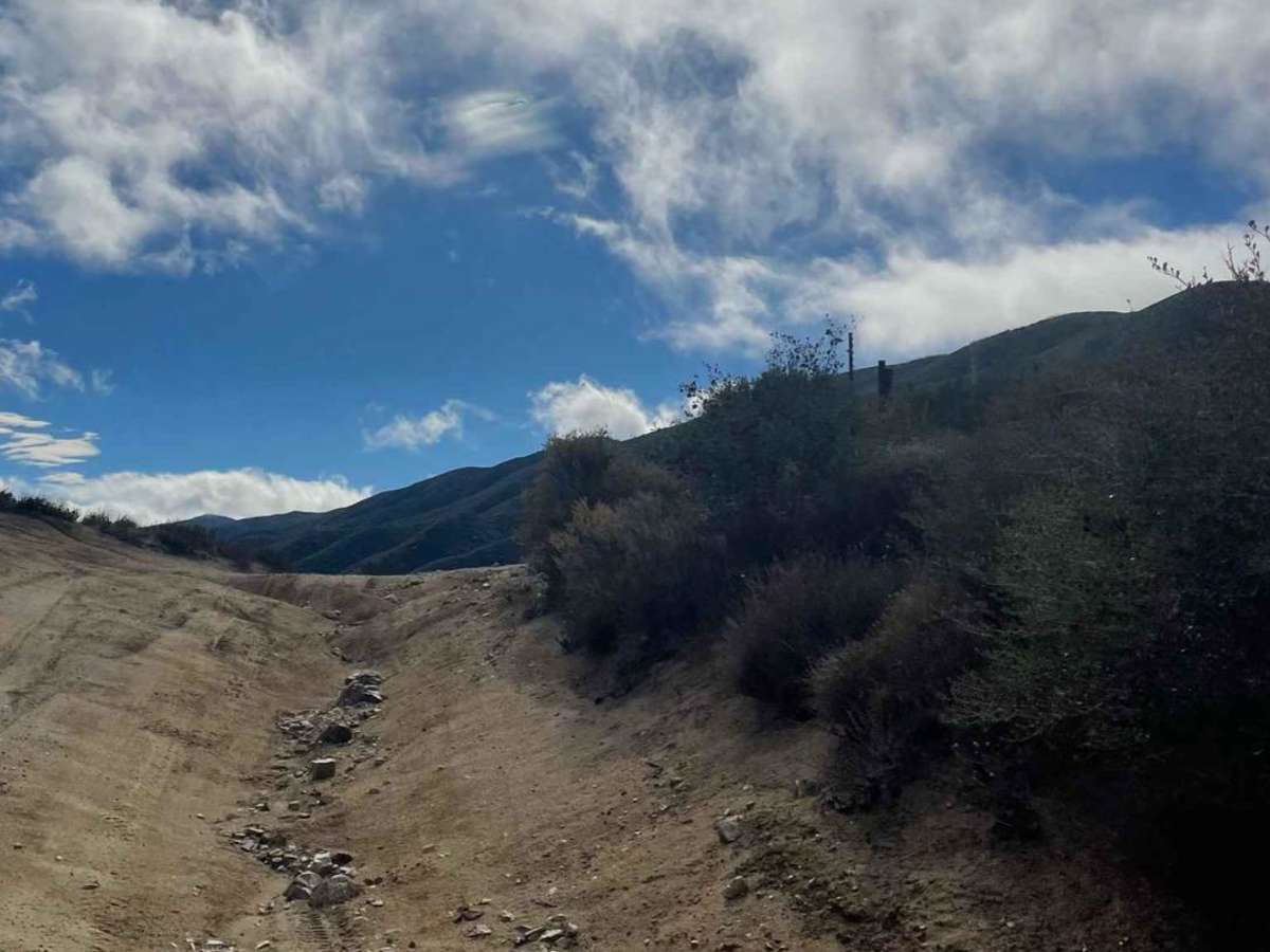
Entered main trail using a sandy wash from Highway S2. Trail was in good shape with few rock obstacles along the southern section shelf road. A few short stretches of shallow mud where the trail passes through a tree grove. Ruts near the beginning section that are 6-12 inches deep. Have been on this trail before and seems even easier this time. Should not be rated above a 3 based on the height and difficulty of obstacles that need to be overcome, regardless of which direction you take the loop.
Justin Klug
Mar 28, 2026
Open
Rough/Deteriorated
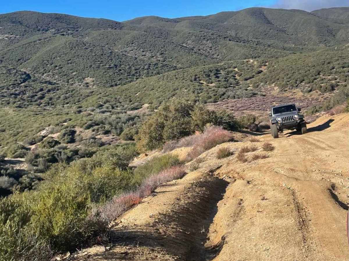
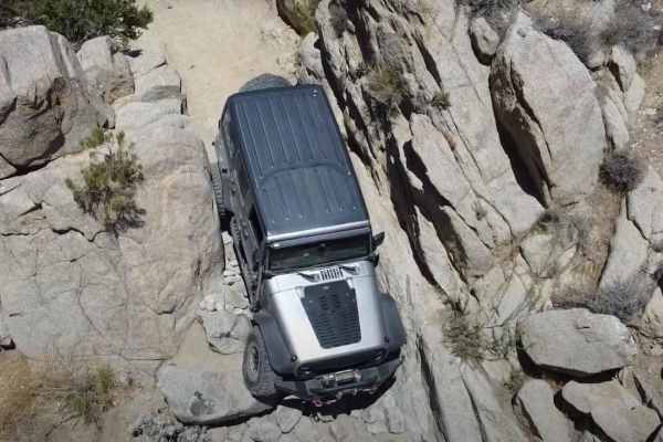
Saw some trucks airing down at the start. Saw a couple hikers including one jogger about halfway through the trail in the middle of nowhere. West half is pretty easy. There’s some pretty steep switchbacks towards the later west half that were a little rocky and technical. The east half was a little much more technical. Some sandy washes connecting directly to steep rocky climbs (traveling north along east half). Downed the bike once on a steep very rocky section and questioned my decision to go solo…but I made it out and later half of the east side was easier.
Bryan Allbaugh
Mar 15, 2026
Open
NormalWashboard
Nice trail, the east side is very rocky. The west side is a dream trail for an adventure bike.
DS
Feb 21, 2026
2024 Jeep Wrangler
Open
Normal
Did the Southern part of the loop. Surprisingly scenic and remote. Trail is good condition and rating should be 2/10. Any moderate clearance vehicle could have made it. The downhill into Rodriguez Canyon is fairly steep but the road there is very wide - two lanes. Some rocks on the road but easy to get around. Many shallow puddles of water. No mud.
Jon b
Jan 31, 2026
2022 Land Rover Defender
Open
Normal
We explored this trail as part of our monthly adventure with the Land Rover club of San Diego. The trail is definitely one of the more difficult trails I’ve done, but it was a ton of fun and offered bypasses so that way you could determine your level of risk and effort without being forced into something in the middle of nowhere. Great for people who want a scenic ride or to push it a bit. There were epic views, and lots of great hiking opportunities. Ran into a few solo riders and a small group along the way otherwise no issues.
Paul Maldonado
Dec 27, 2025
Open
Normal
This is a very easy trail,should be considered a 3. Good to go for a day and do it once
JARDEN Richardson
Dec 11, 2025
Open
Normal
Drove through the cleared river bottom easily. Then took the left or western route. The road is great going up. Got to the previously reported downed tree. Made it through no pinstripes. Once we reached Chariot the road conditions changed and the rest of the ride was bumpy and rutted. Finished out at the 78 Banner grade. Beautiful fall colors along the way.
Pete Casellini
Nov 28, 2025
2024 Toyota Land Cruiser
Obstructed
Downed Tree
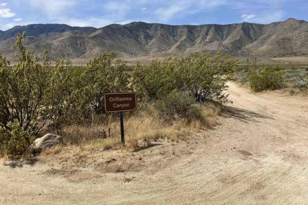
Nice day-after-Thanksgiving outing! Downed tree confirmed on the Chariot Canyon portion, on the map it’s a hair north of the BLM/Anza Borrego border on the western leg of the loop, I measured it as a little over 4 miles south of Banner. Folks in narrower rigs not afraid of a little pinstriping could probably make it wedging through the brush, but I opted to turn around. Two wheelers can make it through no problem. Based on the last report I’m expecting this condition will continue to resolve over the coming weeks, but a chainsaw wouldn’t go unappreciated. No issues on the eastern Rodriguez Spur portion, made for a fun jaunt from Banner down to Highway S2 and looping back up through Shelter Valley.
Oscar Aromin
Nov 23, 2025
2024 Ford Bronco
Obstructed
Downed Tree
Dalton Ketrow
Nov 15, 2025
2023 Ford Bronco
Open
Muddy/Wet
Main Gate is unlocked. When you come up to the split in the road don’t go left. It’s gated by barbed wire a little down the trail, just go right. Once you hit the other split I went left just to see how far the trail was till it was also fenced in. When you look at the map the trails are only blocked exactly where the private property line is at.
eMoto Flow
Oct 11, 2025
Open
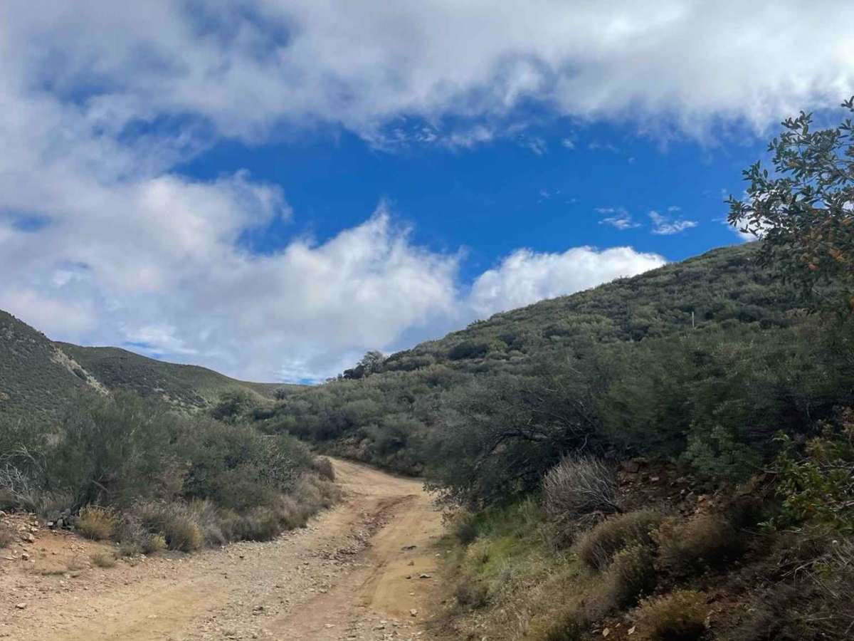
The trail is in great shape. It is dry except for a small damp, not muddy, section about a mile past the Cold Beef Mine in the shady creek crossing. The whole backside downhill section is steep but well graded. The trail is wide with plenty of areas to pull off. Happy trails!
Edward Solomon
Sep 27, 2025
Open
Muddy/Wet
Most of the trail is graded road. We took the loop clockwise. There were only a few large ruts and a small creek crossing as pictured. Once we got near the creek it started to get more wet. Like others had said the east side of the loop is when you start to see more difficult terrain. I gave it a 3 because you are able to bypass all of the larger obstacles. If you did not bypass them it would be a 5. Overall it was a very fun trail.