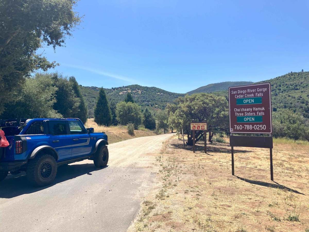
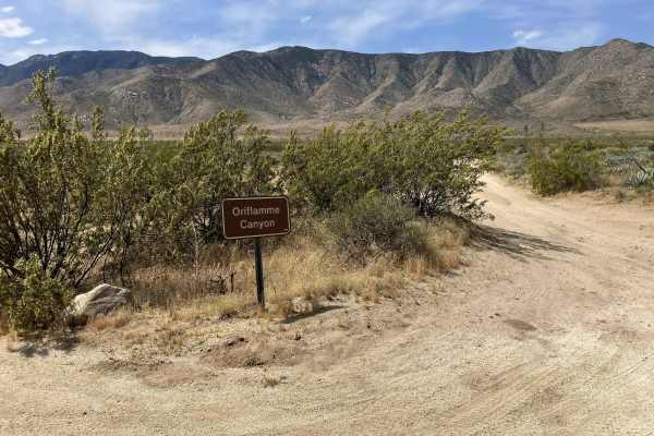
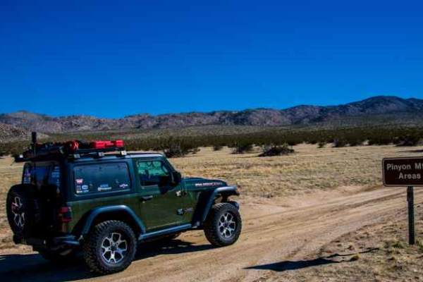
Cedar Creek Loop

Total Miles 15.1
Technical Rating
2 Easy
Best Time Spring, Summer, Fall, Winter
Trail Type Full-Width Road
Accessible By
Open Trail Map

Trail Overview

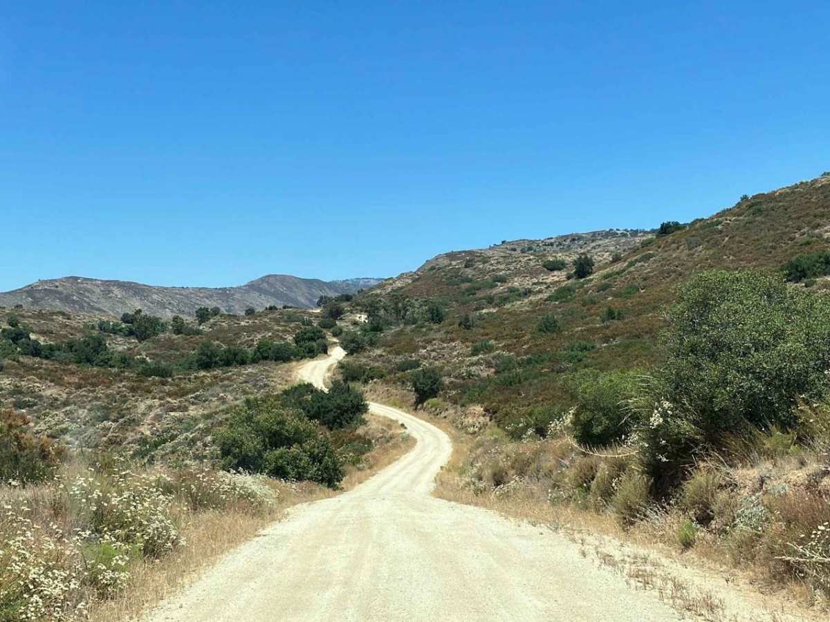
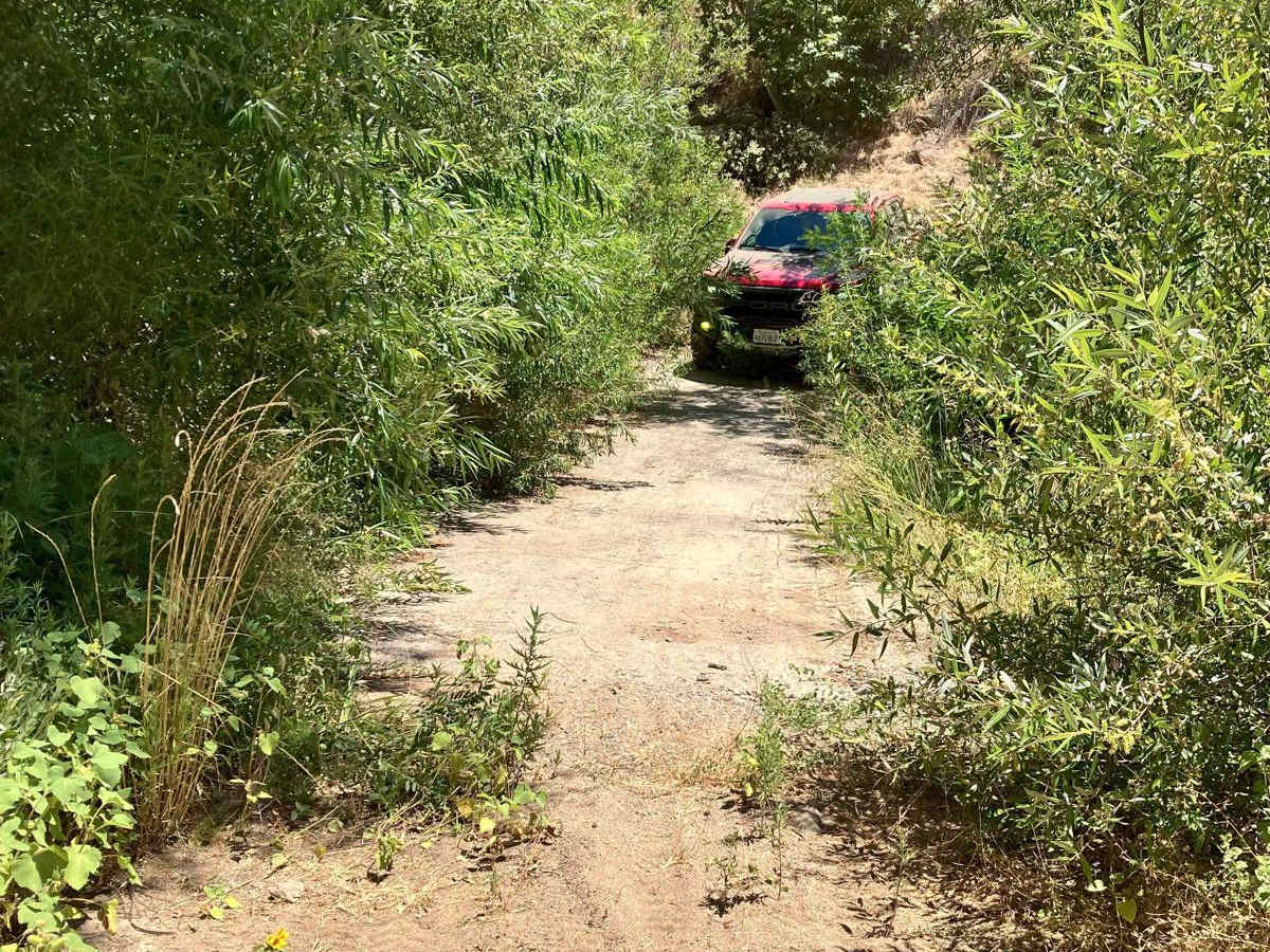
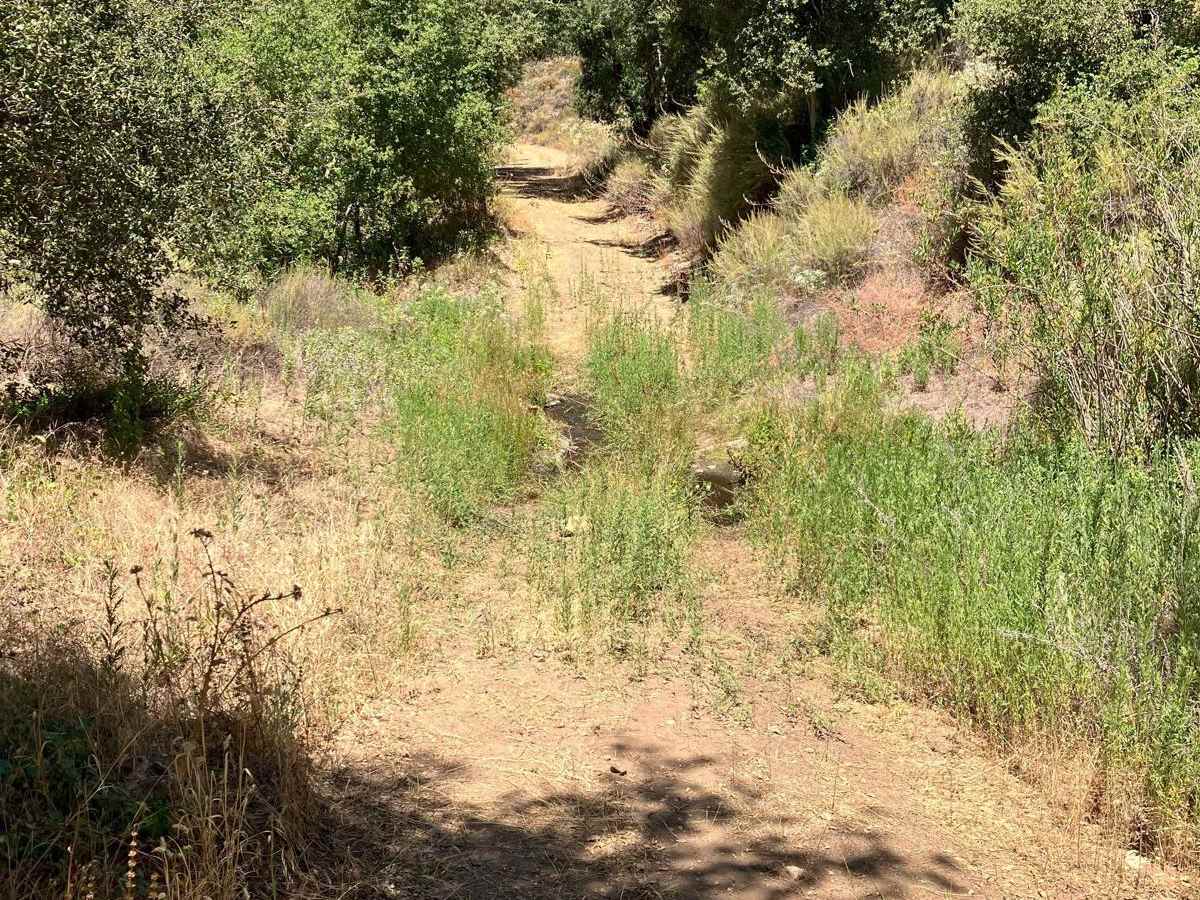
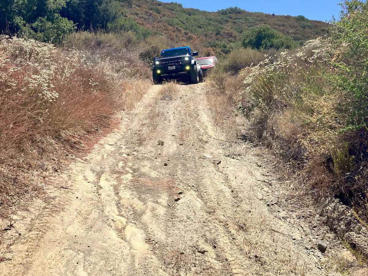
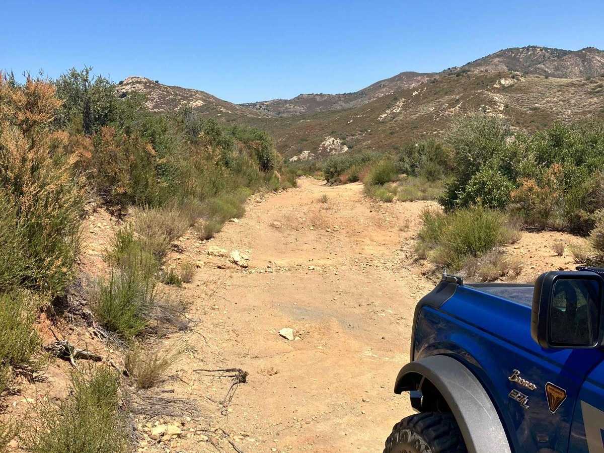
This trail cuts through a beautiful stretch of backcountry in eastern San Diego County and passes near hiking trailheads to three different waterfalls. The loop starts and finishes on graded dirt roads and has a more serious middle section that runs high along several canyon walls above several creeks that pass through the area. The middle section requires high-clearance vehicles to transit several areas and also crosses two small creeks. Conditions on the trail will be much different and more challenging if rain or light snow is present which will make 4WD a necessity. The portion of the trail that overlaps Eagle Creek Rd requires street-legal vehicles, as it is a county-maintained road. Please note that the middle section of this trail can be gated closed by the U.S. Forest Service depending on weather-related conditions and seasonal changes. Check the Cleveland National Forest webpage at https://www.fs.usda.gov/detail/cleveland/?cid=STELPRDB5352962 and look for the current status of road 13S11 before heading out to this area.

Photos of Cedar Creek Loop

Difficulty

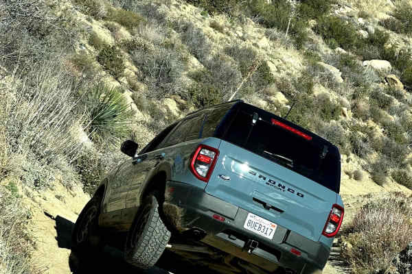
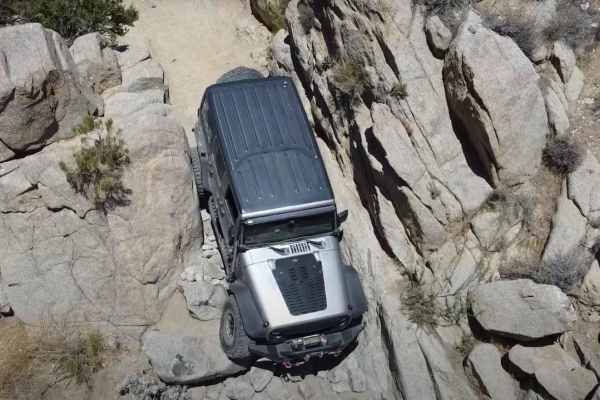
This trail loop begins and ends with sections of graded dirt roads that are wide enough to pass oncoming traffic. The middle section is only single vehicle track width with few places to pass other vehicles and has multiple berms of up to a foot high that must be transited. The middle section is also unmaintained and uneven with scattered rocks as it runs high up on the side of several canyons. There are sheer drops of a hundred feet or more on one side of the trail in several places, so careful attention to tire placement should be maintained. There are two small creek crossings that will likely swell to a foot or more deep and up to 10 feet wide with heavy rain. The brush can be tight for wider vehicles in a few areas.

Technical Rating

2

Status Reports

Add Status Report
robert coello
May 24, 2026
Open
Simple trail, good to get a little run in when visiting Julian. Was a touch overgrown with branches, 2wd capable
G G
Apr 25, 2026
Open
Gate was open today
Natalie Mannion
Apr 11, 2026
Open
CC LOL
Apr 04, 2026
Open
Thomas Penrod
Apr 02, 2026
Open
Kyle Grizer
Mar 04, 2026
Open
Just out here by my lonesome
Dalton Rust
Feb 28, 2026
Open
Trail was CLOSED going down towards saddleback trailhead
jack walker
Feb 15, 2026
Open
4x4 trail gate closed and padlocked at Saddleback.
Kevin P
Jan 26, 2026
Open
Dry trail, paced dirt road in the beginning and end of the loop. Middle section 4x4 is needed with fallen rocks on the trail. Beautiful green scenery.
Tom Koo
Jan 08, 2026
Open
Had to move several large rocks in order to pass on very narrow section of loop. Other than the falling rocks blocking the paths, overall okay to drive the entire loop in a 4x4 stock vehicle.
Javier Renteria
Dec 29, 2025
Open
Pete Casellini
Dec 29, 2025
Open
Gate closed and locked past Cha’chaany Hamuk/Three Sisters Trailhead.
Nil Doron
Dec 07, 2025
Open
Easy trail, nice views, nice hikes around it and some waterfall (no water today).. Will go again
Pete Casellini
Nov 26, 2025
Open
All open, crystal clear views. Small rock slide halfway through the narrow southern leg alongside a steeper portion of the shelf road that I had to travel directly over, but with some clever stacking it should be navigable for 4x4s that can handle the remainder of the route.
Hans van Franeker
Nov 08, 2025
Open
Mostly easy. We did South to North, with some pretty steep descends but nothing to worry about. One spot required slightly more focus on wheel placement but all in all very easy drive. Landscape is nice but not specifically entertaining.

Cedar Creek Loop Trail can be accessed by the following ride types:

  • High Clearance
  • Full Width

Cedar Creek Loop Map

The onX Offroad Difference

onX Offroad combines trail photos, descriptions, difficulty ratings, width restrictions, seasonality, and more in a user-friendly interface. Available on all devices, with offline access and full compatibility with CarPlay and Android Auto. Discover what you're missing today!

Open Trail Map