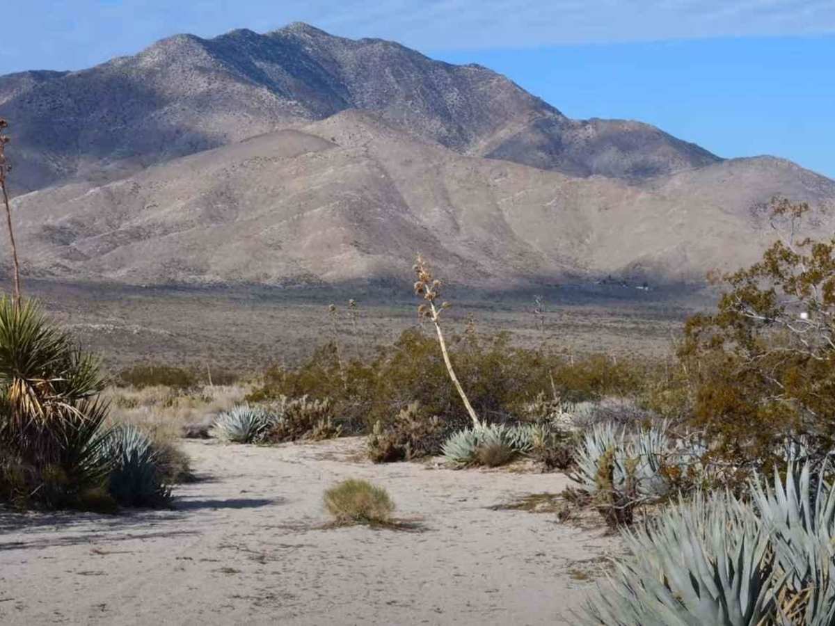
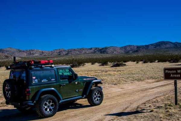
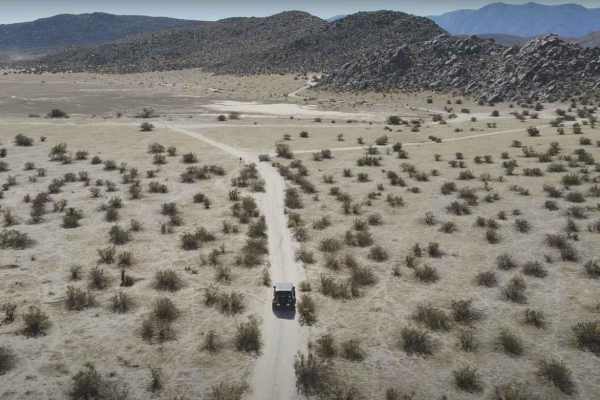
Trail Overview
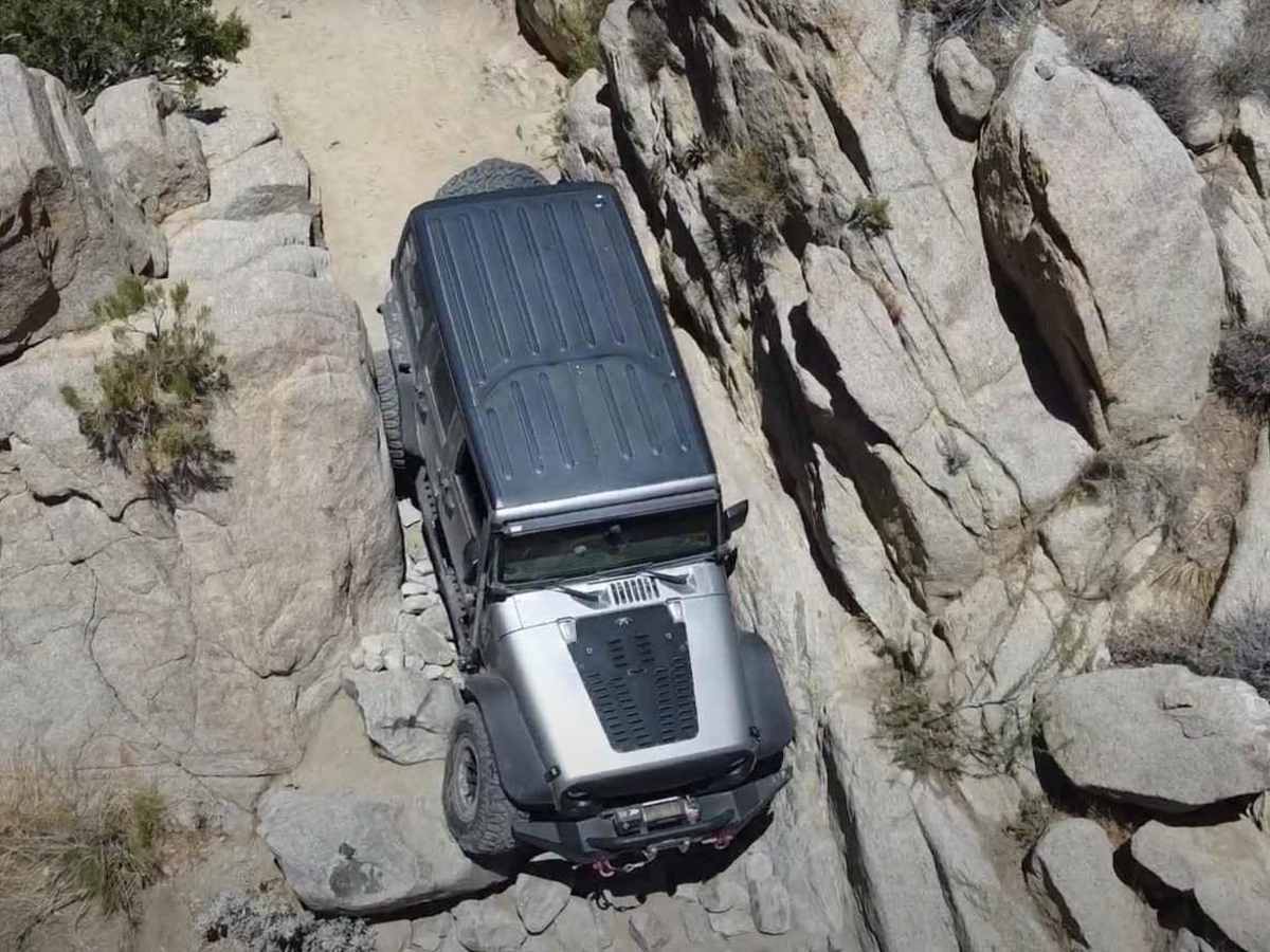
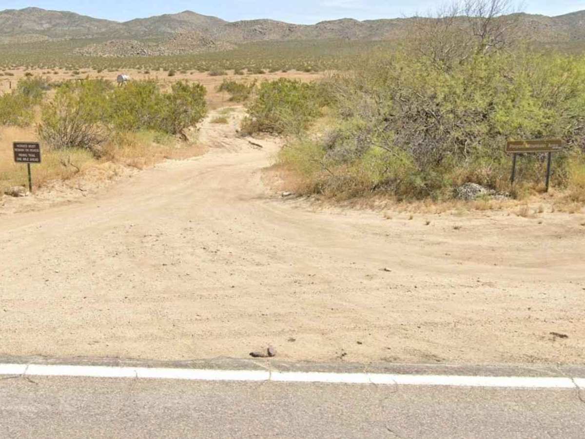
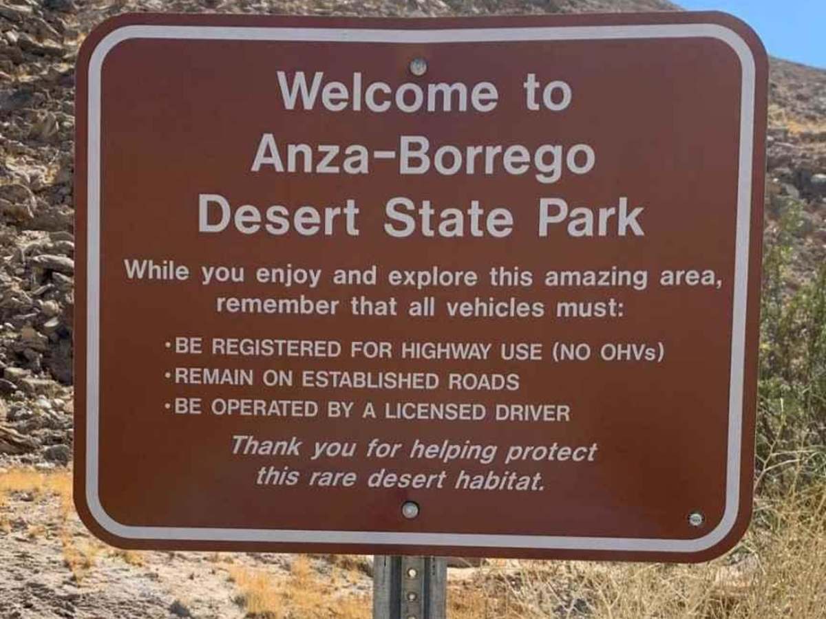
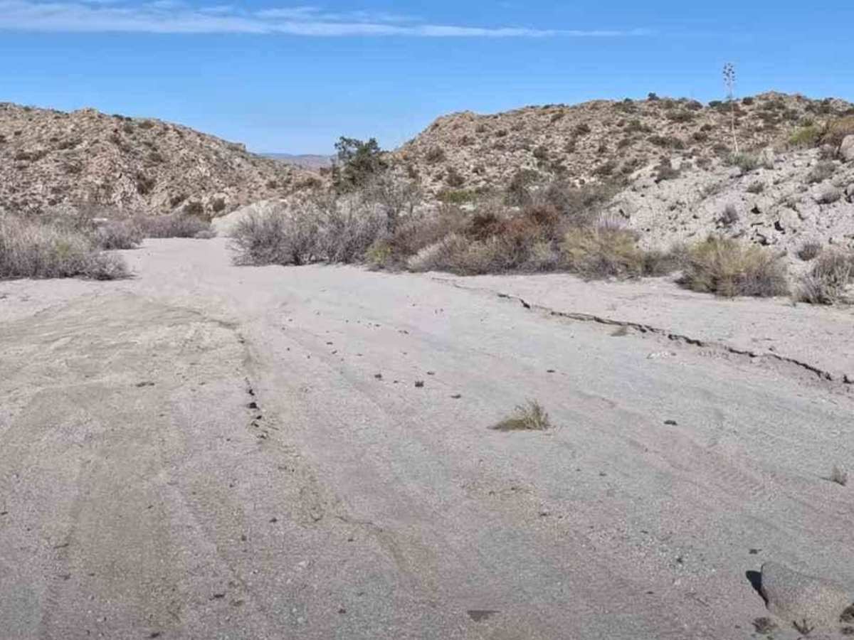
Pinyon Mountain Road is an 8.8-mile one-way point-to-point trail rated 5 of 10 within the California Anza-Borrego Desert State Park (ABDSP). Trails within the ABDSP are restricted to street-legal vehicles. With its three major off-roading challenges--The Squeeze, Pinyon Drop-off (aka Heart Attack Hill), and the narrow canyon between them--this trail is a "must-drive" for the most experienced and committed off-road adventurer. This is one of the more extreme routes in the Anza-Borrego Desert State Park and the challenges should not be underestimated. For Jeep owners, this is also a Badge of Honor trail. The trailhead starts at State Route 2 just south of the Shelter Valley community (no services). The first section of the trail is considered two-way traffic up and into Minyon Mountain Valley (roughly 6.5 miles). From that point on, the State Park has the trail marked as one-way running west to east. Just beyond the valley at the 6.9-mile mark is the first major obstacle, "The Squeeze", until entering the canyon at about 4.5 miles. "The Squeeze" is a narrow cut between two rock faces with an off-camber approach and drop of about 10 feet. The actual distance between the two rock walls at the narrowest point is 83 inches. But don't let that fool you; since it is off-camber, the width between the vehicle and wall tends to be about 1 inch on each side. After negotiating "The Squeeze", the trail continues through a rock garden, waterfall climb, and negotiation around "Rear Window Breaker" rock. This leads to the third and last major obstacle at the 7.9-mile mark: the infamous "Heart Attack Hill." It's a rutted-out steep descent that will throw the vehicle from one side to another and, if uncontrolled, will lead to disaster. There are two approaches at the top of this obstacle with the left line being the more traditional and the right line being significantly more difficult. Take your time, keep your descent slow without locking up the breaks, keep the front pointed downhill, and the obstacle will be in your rear-view mirror in no time. Fail to follow these simple rules and you might need some help. The trail ends after a few small off-camber wash crossings at the intersection of Hapaha Flats Road and Pinyon Wash (AKA McCain Springs). Although there are tracks heading up Pinyon Wash, the Park Service reserves this area for non-motorized traffic only. Once through Pinyon Mountain Valley, cell phone service will no longer exist. The nearest services are located in Borrego Springs.
Difficulty
The trail's surfaces are rutted, rocky, and sandy with steps not exceeding 24 inches, with considerable slickrock surfaces. Water does not exceed 12 inches, but some mud is possible. Good ground clearance and driving skills are needed. 4WD, tall tires (33-inch plus), and traction-adding devices (locker, limited slip) are required. Above-average driving skills are desirable. A winch would be a plus. Enhanced suspension travel and good ground clearance are also required.
History
Anza-Borrego Desert State Park is a California State Park located within the Colorado Desert of southern California, United States. The park takes its name from 18th-century Spanish explorer Juan Bautista de Anza and the Spanish word borrego, which literally means "lamb" but is also used to describe the desert bighorn sheep. With nearly 600,000 acres, it is the largest state park in California as well as the 48 contiguous states. The park has varied topography that includes dry lake beds, badlands, and mountains that rise above 5,500 feet (1,675 meters). Two-thirds of the park's area is designated as wilderness, and cactus, yucca, and ocotillo are abundant throughout. Among the park's attractions are groves of California fan palms and a profusion of wildflowers that bloom in mid-to-late winter. Deer, kit foxes, iguanas, rattlesnakes, roadrunners, eagles, and the endangered desert bighorn sheep are all found within the park.