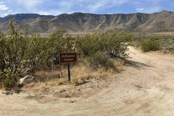
Trail Overview
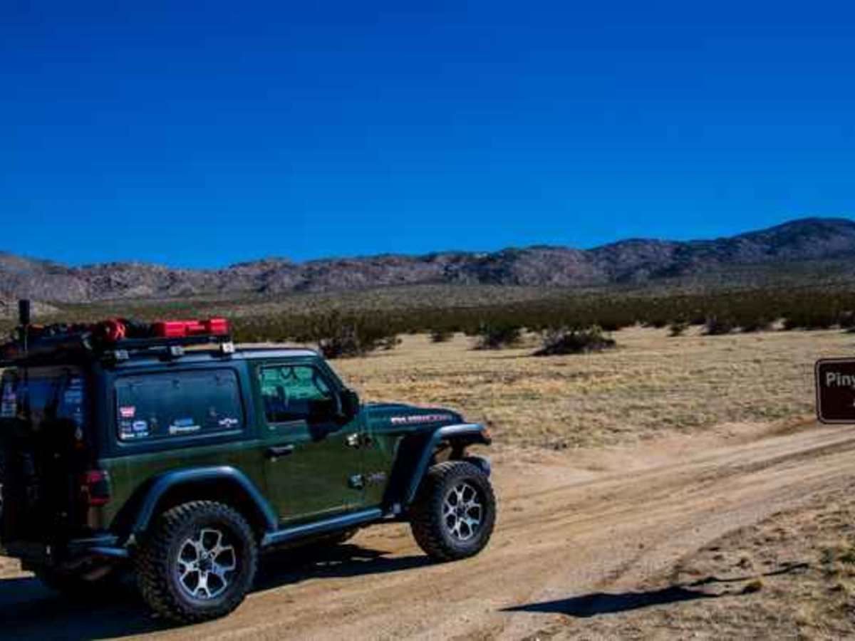
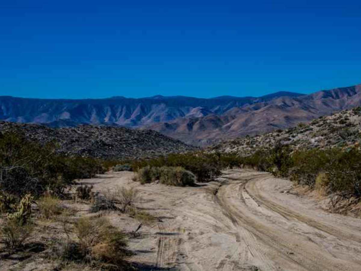
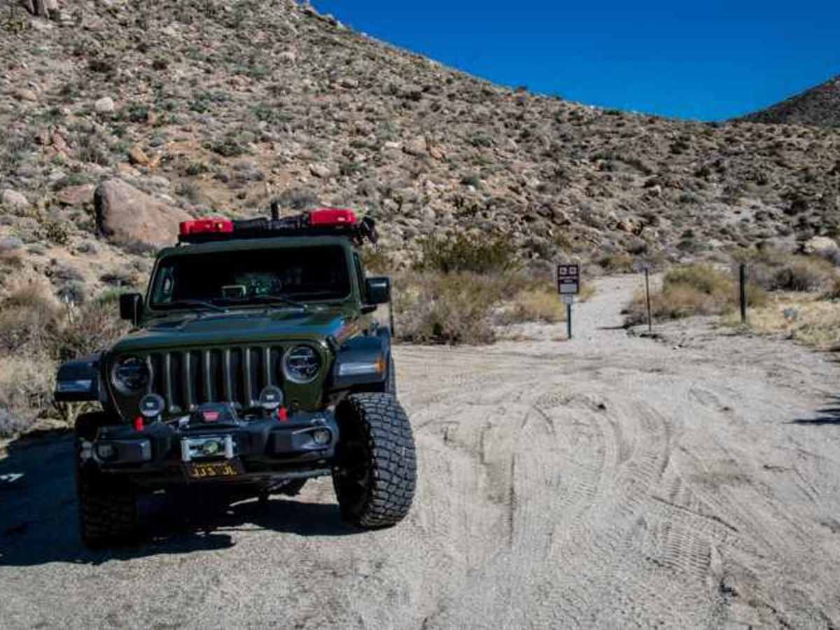
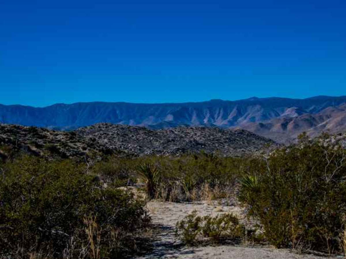
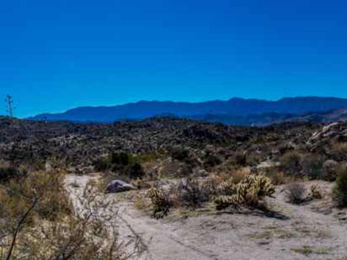
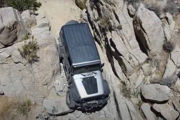
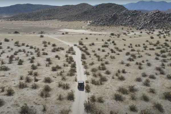
This trail traverses a scenic desert landscape. It is an out-and-back trail with designated areas for dispersed camping. A spur trail offers a scenic and level campsite equipped with a fire ring. Ground fires are strictly prohibited in Anza-Borrego Desert State Park to safeguard the desert soil. Campfires must be contained within elevated metal fire pits, fire pans, or park-provided metal rings. Gathering wood is prohibited; individuals must bring their own firewood, and all ashes must be packed out. The trail is relatively easy, primarily consisting of sand interspersed with rocks and some ruts that require careful navigation (using four low is recommended). The trail’s length is 3.6 miles, with an elevation gain of 670 feet and an elevation loss of 361 feet. At the trail’s terminus, a sign marks the entrance to the Anza Borrego Wilderness. The trail that extends beyond this point connects to the Mine Wash Road for over 1,000 yards. No Drone Zone: Drones are prohibited in the airspace above the reserve for several reasons, including the visual threat to wildlife and intruding on visitors' experience. For detailed information on the Posted Order 940-15-002 - CDD Unmanned Aircraft, and to review the web page regarding the State authority over airspace. https://www.parks.ca.gov/pages/638/files/940-15-002 CDD Unmanned Aircraft.pdf - https://www.parks.ca.gov/?page_id=31170