
Beginner Off-Road Trails
Near Harbison Canyon, California
Explore All Beginner Trails Near Harbison Canyon, California
Beginner Off-Road Trails Near Harbison Canyon, California
Discover the best beginner-friendly off-road trails near you. These easier, lower-rated trails are a great place to start — browse trail maps, check difficulty ratings, and find your next adventure.
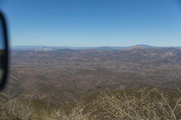
Otay Mountain Truck Trail
This route goes up and over Otay Mountain with sweeping views over the San Ysidro Mountains, and a little bit of San Diego in the distance. The road is made up entirely of dirt and gravel and stays relatively even throughout. This is a great trail on hazy/foggy days as it is well above the marine la...
Learn more about Otay Mountain Truck Trail
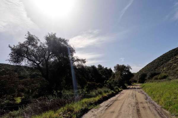
Otay Mountain Truck Trail (Upper Trail)
This is a well-maintained road that needs high clearance just for potholes and washouts. It has some beautiful views of the Otay mountains with a lot of little offshoots to explore, given you have the right vehicle and gear. You will see border patrol vehicles on this trail since you are so close to...
Learn more about Otay Mountain Truck Trail (Upper Trail)
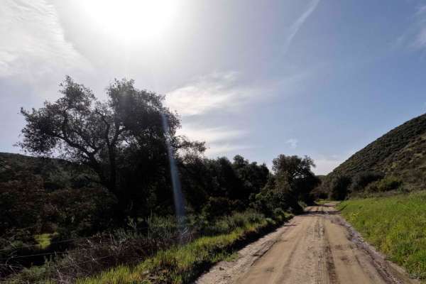
Otay Mountain Truck Trail (Lower Trail)
This is a well-maintained road that needs high clearance just for potholes and washouts. It has some beautiful views of the Otay mountains with a lot of little offshoots to explore, given you have the right vehicle and gear. You will see border patrol vehicles on this trail since you are so close to...
Learn more about Otay Mountain Truck Trail (Lower Trail)
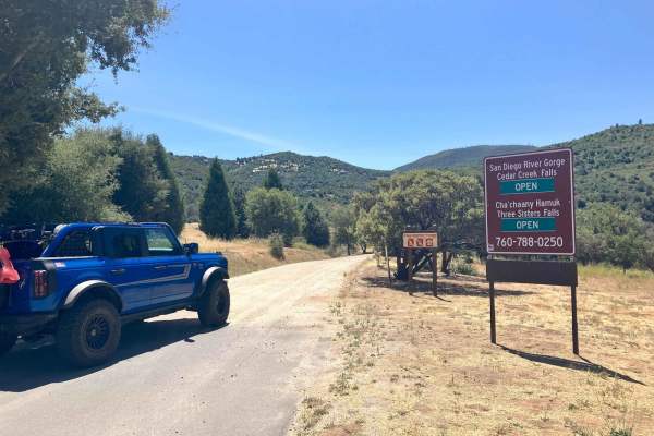
Cedar Creek Loop
This trail cuts through a beautiful stretch of backcountry in eastern San Diego County and passes near hiking trailheads to three different waterfalls. The loop starts and finishes on graded dirt roads and has a more serious middle section that runs high along several canyon walls above several cree...
Learn more about Cedar Creek Loop
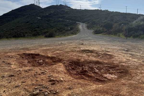
Otay Mountain Truck Trail West
This scenic route explores the western portion of the Otay Mountain Truck Trail, passing below Otay Mountain (3,501 feet) with sweeping views of the valleys and hills of Tijuana, Mexico. The drive follows mostly double-wide gravel roads with some single-lane sections around tight turns, many equippe...
Learn more about Otay Mountain Truck Trail West
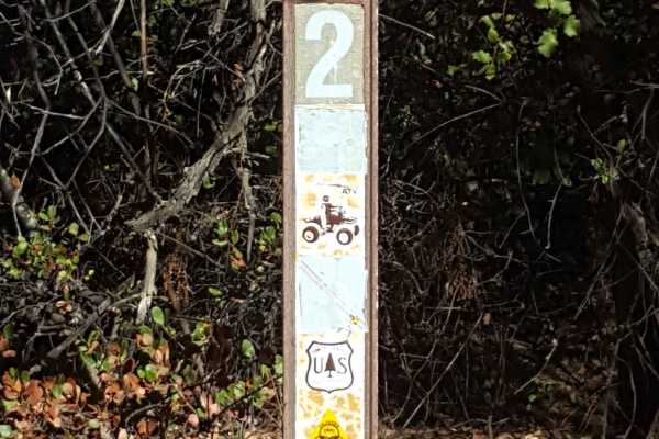
Corral - Trail 2
This is a 50" wide, point-to-point trail that starts near the Four Corners Trailhead and runs down to the Corral Campground and Youth Training Trail. It is generally fast and flowy, making for a good warm-up ride before hitting other more difficult trails in the area. There are some short grades and...
Learn more about Corral - Trail 2
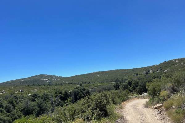
Corral Canyon Road
This is the main east-west connector inside the Corral Canyon OHV area and can be run in either direction. There are some gentle obstacles as this is a poorly maintained forest service road, and can be used to bypass the long way around Los Pinos Mountain Loop, especially the newly created waterfall...
Learn more about Corral Canyon Road
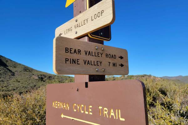
Bear Valley Road
This out-and-back OHV trail is open to all types, from 4X4s down to dirt bikes. A small parking lot is at the beginning of the trail, right off the freeway. A displayed adventure pass is required. The trail itself offers a little bit of everything from rocky sections to ruts, puddle (water) crossing...
Learn more about Bear Valley Road
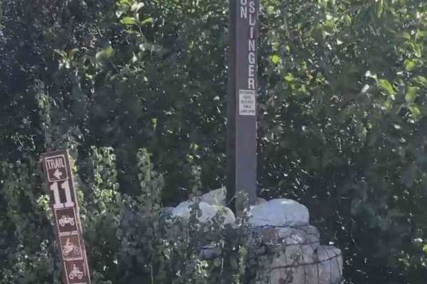
Gunslinger Trail #11
Gunslinger Trail #11 is a 1.8-mile point-to-point trail rated 3 of 10 located in the Corral Canyon OHV recreation area. Corral Canyon OHV is located roughly 30 miles east of San Diego and it offers trails for all types of offroad vehicles, including dirtbike single track, narrow ATV track, and full-...
Learn more about Gunslinger Trail #11
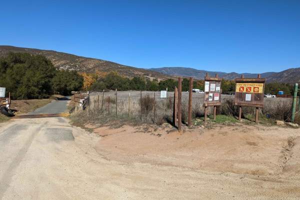
Orosco Ridge Truck Trail 12S02
This trail winds its way through the Cleveland Forest from Pamo Road to the Guejito Truck Trail. The trail is not very well maintained. It is very rutted. The trail takes you up and over some good hills in Pamo Valley. Parts of the trail are very scenic and beautiful.
Learn more about Orosco Ridge Truck Trail 12S02
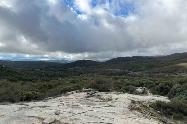
Wrangler Trail (901)
Wrangler Trail is part of the Corral Canyon OHV Area in the Laguna Mountains of San Diego County. Corral Canyon is one of the only remaining OHV areas in San Diego, which attracts offroaders of many different types. From technical 4x4 trails to singletrack, there is something for everyone at Corral ...
Learn more about Wrangler Trail (901)
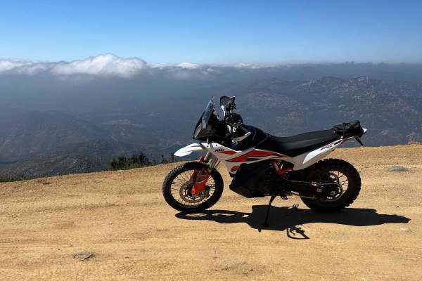
Tecate Peak
This is a pretty mellow 2-track road leading to the top of Tecate Peak. The lower part of the trail is a grave road. If there has been a lot of rain, expect ruts! There are some small rocks and chunky sections but nothing really difficult. There are some tight switchbacks to negotiate and you can ex...
Learn more about Tecate Peak
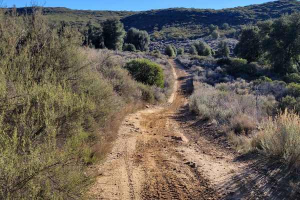
Long Valley Loop Road
This loop is the second half of this out-and-back OHV trail. It's open to all types: 4X4's down to dirt bikes. The trail itself offers a little bit of everything from rocky sections, to ruts, to puddle (water) crossings, to a handful of short steep grades. Some of the puddles were deeper than others...
Learn more about Long Valley Loop Road
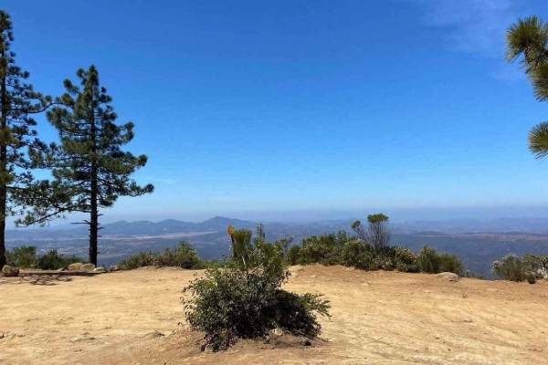
11S04 Black Mountain
11S04 Black Mountain is a 10.8-mile out-and-back located in the Cleveland National Forest, Palomar Ranger District. This is a limited-use trail restricted to street-legal vehicles. The trail is rated 3 of 10 but has the potential to be worse during and right after seasonal weather and is subject to ...
Learn more about 11S04 Black Mountain
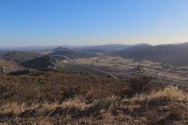
15S18 Sheephead Mountain Road
15S18 Sheephead Mountain Road is a 4.6-mile out-and-back trail rated 3 of 10 located within the Cleveland National Forest, Descanso Ranger District. The trail to the top is a full 6.8 miles, but due to a slide, the trail is closed at the 2.3-mile point. This trail is a continual climb from the trail...
Learn more about 15S18 Sheephead Mountain Road
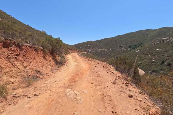
Santa Ysabel Truck Trail
Santa Ysabel Truck Trail is a narrow, shelf-road trail running through a section of the Cleveland National Forest in Ramona. The trail follows along Santa Ysabel Creek and offers beautiful views over the mountains, and leads to several hiking and recreation areas. The terrain along the route is rutt...
Learn more about Santa Ysabel Truck Trail
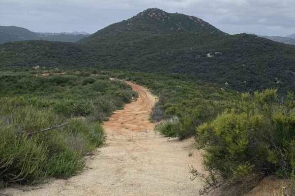
11S03 Lusardi Truck Trail
11S03 Lusardi Truck Trail is an 11.6-mile out-and-back trail rated 3 of 10 located within the Cleveland National Forest, Trabuco Ranger District. Lusardi Truck Trail ascends the Carney Canyon between the Black Butte (west) and Black Mountain (east) to the National Forest boundary at 5.8 miles. The t...
Learn more about 11S03 Lusardi Truck Trail
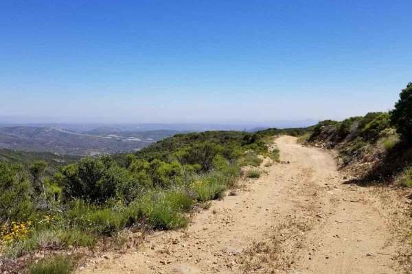
16S08 Fred Canyon Road
16S08 Fred Canyon Road is a 6.1-mile point-to-point trail rated 3 of 10 located within the Cleveland National Forest, Descanso Ranger District. This trail is usually run in conjunction with Fred Canyon to create a 14.2-mile point-to-point trail. It's generally considered a moderately challenging rou...
Learn more about 16S08 Fred Canyon Road
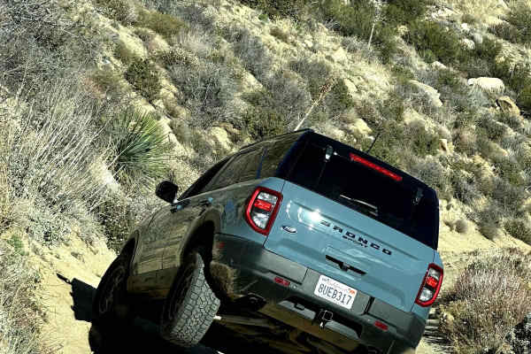
Oriflamme Canyon Loop
This trail starts and ends in Banner and loops around Chariot Mountain and goes into the Oriflamme Canyon. The trail is open to all types of 4x4s and dirt bikes, although the entrance through Banner is only open to highway-legal vehicles as that entrance is only accessible by the highway. You will e...
Learn more about Oriflamme Canyon Loop
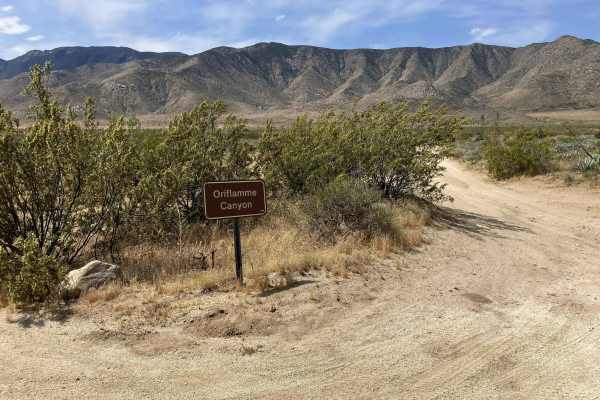
Oriflamme Canyon Backdoor
This short single vehicle-width trail connects the Oriflamme Canyon Loop trail with Highway S2, allowing vehicles to enter/exit the Oriflamme Canyon area from the eastern side. It is primarily a dirt road that winds through and around a sandy wash. There are also occasional large rocks that are easi...
Learn more about Oriflamme Canyon Backdoor
Beginner ATV trails near Harbison Canyon, California
Explore ATV-friendly trails near you. These trails are accessible for vehicles up to 50 inches wide, perfect for ATVs and smaller off-road machines.
Otay Mountain Truck Trail
This route goes up and over Otay Mountain with sweeping views over the San Ysidro Mountains, and a little bit of San Diego in the distance. The road is made up entirely of dirt and gravel and stays relatively even throughout. This is a great trail on hazy/foggy days as it is well above the marine la...
Learn more about Otay Mountain Truck Trail
Otay Mountain Truck Trail West
This scenic route explores the western portion of the Otay Mountain Truck Trail, passing below Otay Mountain (3,501 feet) with sweeping views of the valleys and hills of Tijuana, Mexico. The drive follows mostly double-wide gravel roads with some single-lane sections around tight turns, many equippe...
Learn more about Otay Mountain Truck Trail West
Corral - Trail 2
This is a 50" wide, point-to-point trail that starts near the Four Corners Trailhead and runs down to the Corral Campground and Youth Training Trail. It is generally fast and flowy, making for a good warm-up ride before hitting other more difficult trails in the area. There are some short grades and...
Learn more about Corral - Trail 2
Corral Canyon Road
This is the main east-west connector inside the Corral Canyon OHV area and can be run in either direction. There are some gentle obstacles as this is a poorly maintained forest service road, and can be used to bypass the long way around Los Pinos Mountain Loop, especially the newly created waterfall...
Learn more about Corral Canyon Road
Beginner UTV/side-by-side trails near Harbison Canyon, California
Find UTV and side-by-side trails near you. These trails accommodate vehicles up to 60 inches wide, ideal for UTVs, side-by-sides, and wider off-road rigs.
Otay Mountain Truck Trail
This route goes up and over Otay Mountain with sweeping views over the San Ysidro Mountains, and a little bit of San Diego in the distance. The road is made up entirely of dirt and gravel and stays relatively even throughout. This is a great trail on hazy/foggy days as it is well above the marine la...
Learn more about Otay Mountain Truck Trail
Otay Mountain Truck Trail West
This scenic route explores the western portion of the Otay Mountain Truck Trail, passing below Otay Mountain (3,501 feet) with sweeping views of the valleys and hills of Tijuana, Mexico. The drive follows mostly double-wide gravel roads with some single-lane sections around tight turns, many equippe...
Learn more about Otay Mountain Truck Trail West
Corral Canyon Road
This is the main east-west connector inside the Corral Canyon OHV area and can be run in either direction. There are some gentle obstacles as this is a poorly maintained forest service road, and can be used to bypass the long way around Los Pinos Mountain Loop, especially the newly created waterfall...
Learn more about Corral Canyon Road
Bear Valley Road
This out-and-back OHV trail is open to all types, from 4X4s down to dirt bikes. A small parking lot is at the beginning of the trail, right off the freeway. A displayed adventure pass is required. The trail itself offers a little bit of everything from rocky sections to ruts, puddle (water) crossing...
Learn more about Bear Valley Road
The onX Offroad Difference
onX Offroad combines trail photos, descriptions, difficulty ratings, width restrictions, seasonality, and more in a user-friendly interface. Available on all devices, with offline access and full compatibility with CarPlay and Android Auto. Discover what you're missing today!
Open Trail Map