
Beginner Off-Road Trails
Near Greene, Maine
Explore All Beginner Trails Near Greene, Maine
Beginner Off-Road Trails Near Greene, Maine
Discover the best beginner-friendly off-road trails near you. These easier, lower-rated trails are a great place to start — browse trail maps, check difficulty ratings, and find your next adventure.
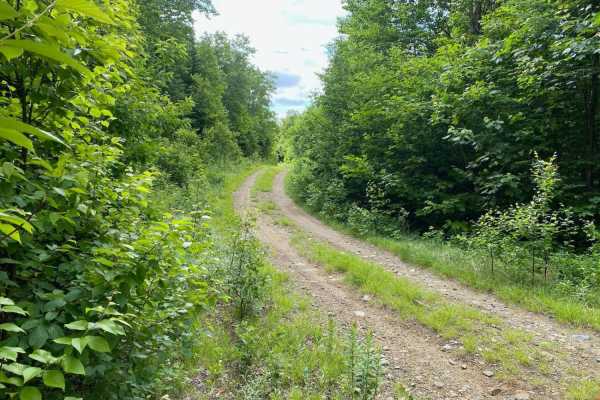
Edes Brook Trail
Edes Brook Trail is a scenic 3.7-mile route near Temple, Maine that serves as a perfect cruising path for beginners or those seeking smooth access to nearby scenic vistas and connecting trail networks. Starting at Intervale Road, the trail winds westward, climbing steadily from an elevation of about...
Learn more about Edes Brook Trail
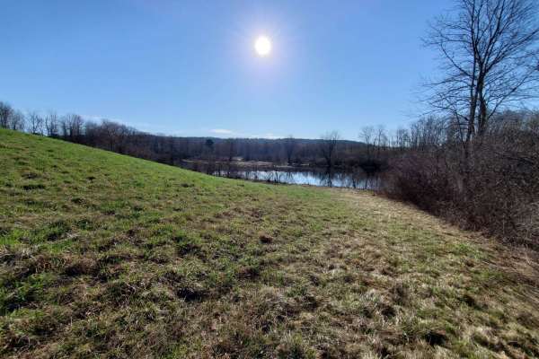
Quarry Road Trail
Designed for intermediate riders, the Quarry Road Trail offers a convenient and scenic escape that seamlessly connects Waterville's commercial hub to the rural trail systems of Fairfield. Starting directly behind the Waterville Home Depot, this 2.4-mile route winds through the scenic Quarry Road Rec...
Learn more about Quarry Road Trail
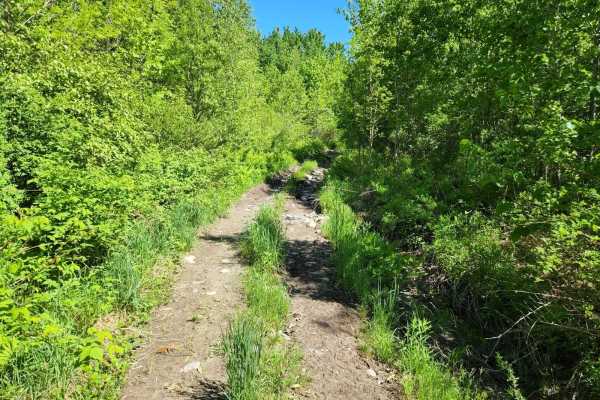
Center Trail
This is a winding trail through mostly woods and fields. This trail is quite smooth with a few small rocks and rocky areas. A few rough exposed roots and a lot of ditches to keep the trail erosion under control. A couple of sharp turns and uneven terrain. No mud but may have mud puddles with a hard ...
Learn more about Center Trail
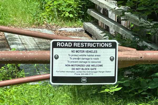
Little Larry Road
This is a well-maintained in-and-out gravel road in the White Mounts National Forest's Hastings Campground. It doubles as part of the Gilead snowmobile trail system in the winter months. Lots of campsites and a few hiking trails. It is family-friendly and campground reservations are made online for...
Learn more about Little Larry Road
Wild River Road
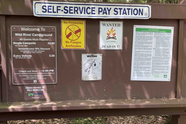
This is a beautiful in-and-out following the Wild River along a seasonally closed gravel road. There are a lot of scenic views to enjoy of the river and gorge. The road dead ends at the Wild River Campground managed by the White Mountains National Forest. There are lots of hiking trailheads on the s...
Learn more about Wild River Road
East Branch Saco River
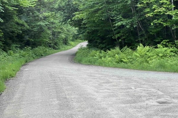
This is a well-maintained dirt gravel road with lots of pull-off spots to pop up camp and trailheads. It dead ends at a hiking trail. There are a lot of scenic views and a bridge crossing over the river. A campsite is next to the river and a small beaver pond are great locations.
Learn more about East Branch Saco River
Frye Mountain - High Ridge to Getchell
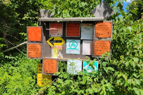
The Frye Mountain - High Ridge to Getchell trail is a West to East crossing through the Frye Mountain State Game Management Area. This trail is just over 8 miles passing by the Carter Cemetery and includes a small 3 mile (out and back) to another private Cemetery, where the trail becomes a turnarou...
Learn more about Frye Mountain - High Ridge to Getchell
Slippery Brook
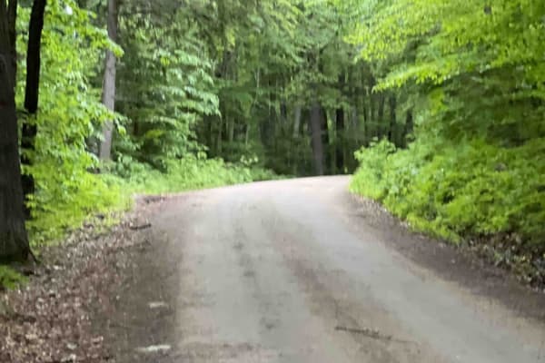
This is a gravel road with many camping spots with some hiking trailheads. It is easily accessible by suv and maybe even a car. It is a great scenic view of the river both on the way to the trail and while on the trail. There are multiple gates that are closed depending on snow levels. It is not mai...
Learn more about Slippery Brook
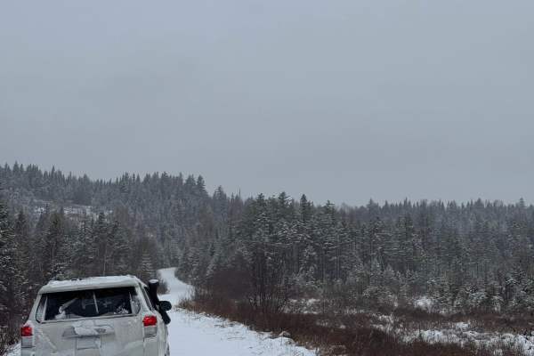
North Pond Road
North Pond Road extends northeast from Success Pond Road and eventually connects with Maine Route 26/Bear River Road, just north of Grafton Notch State Park. The road is a well-maintained dirt and gravel route that can be traveled comfortably by most vehicles. Running through the valley between Red ...
Learn more about North Pond Road
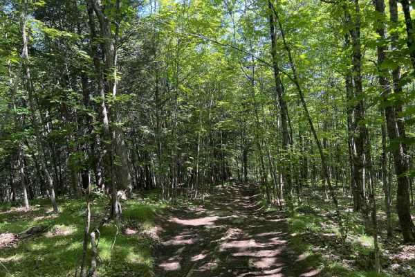
Chase Fire Tower
Chase Fire Tower is an ideal, short trail for beginner to intermediate offroaders seeking a scenic climb with a historical reward at the summit. Spanning just under a half-mile, this route ascends the backside of Chase Hill to a maximum elevation of 764 feet, gaining about 108 feet of cumulative ele...
Learn more about Chase Fire Tower
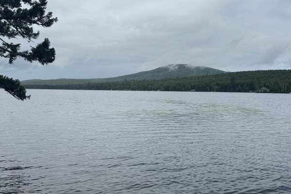
Success Pond Road
Success Pond Road is a maintained gravel and dirt road extending northeast from Berlin, New Hampshire. Shortly after leaving Berlin, the road provides access to several OHV trailheads and staging areas. Continuing northeast, it crosses into Maine before reaching Success Pond, where a small parking a...
Learn more about Success Pond Road

Scott Road
Scott Road is a gravel road with many side trails to explore. This road is seasonally open and a semi-active logging road. Parts of the road are open to ATVs and SxS and are part of the local trail system, though motorcycles are prohibited. The road has some dried ruts in part of it. Watch out for ...
Learn more about Scott Road
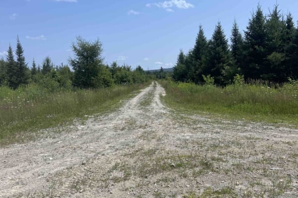
Scott Road Spur
This trail is an in-and-out old dirt logging road that has some scenic areas. Use caution as this area is used by local hunters. While accessible by SxS and ATV, its primary use would be a full-size rig or a Jeep. There are wildlife viewing opportunities plentiful on this road.
Learn more about Scott Road Spur
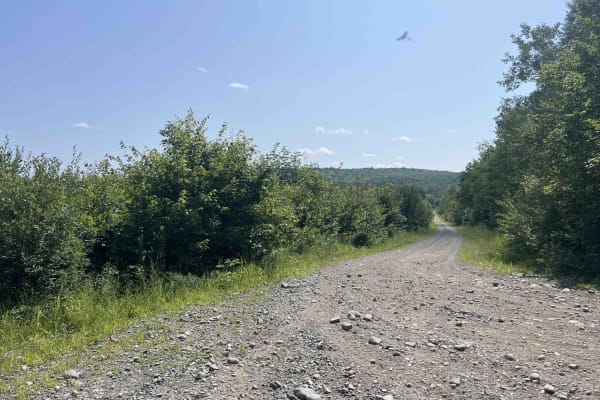
Overlook Trail
On this gravel road, you will travel up the back side of Goodwin Hill. You will pass many side trails that double as ATV and snowmobile trails in the corresponding seasons. There are some beautiful overlooks of Great Moose Pond. Leaf peeper views are excellent in the fall. Just watch out for hunters...
Learn more about Overlook Trail
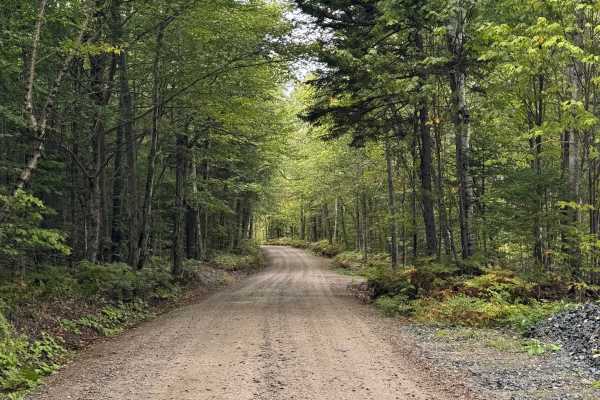
Pine Mountain Notch (Dolly Copp Rd)
Pine Mountain Notch – Dolly Copp Road is a well-maintained forest road situated within the White Mountain National Forest. Typically closed during the winter months, the road provides a scenic connection between Randolph, New Hampshire, and Route 16 just south of Gorham. The route also affords acces...
Learn more about Pine Mountain Notch (Dolly Copp Rd)
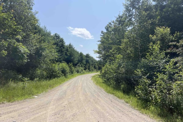
Burrill Woods Road
Originally part of the Plumb Creek Land Trust, this is a semi-active logging road where there has been logging recently. There are lots of side trails and roads to explore. This road is not actively maintained in the winter unless logging is taking place. Parts of the road are open to ATVs, SxSs, an...
Learn more about Burrill Woods Road
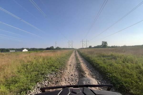
Sanford Maine ATV Club & Rail Trail
Sanford's Rail Trail follows the old Portland and Rochester Railroad Company railbed, passing through many scenic areas in Sanford. This well-maintained, multi-use, flat gravel-topped trail is easily walked and used year round, with stores, ponds and rivers, marshlands, scenic stone bridges and fore...
Learn more about Sanford Maine ATV Club & Rail Trail
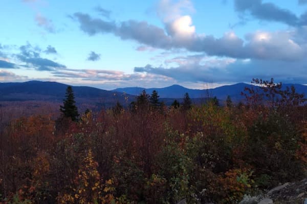
Quill Hill
This is a small road system with multiple places to get off the road to park and check out the scenery. There are a few campsites on the way to the top along with a few spots to park with tables and areas for grilling. Once you reach the summit the views are amazing. There are a few picnic tables at...
Learn more about Quill Hill
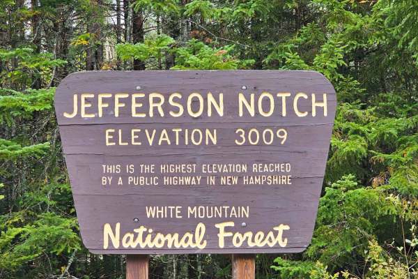
Jefferson Notch Road
Jefferson Notch Road is a pretty easy road that most vehicles can drive. That being said it makes it so more people can experience this road that winds next to a brook up into the mountains and brings you to the highest elevation reached by a public road in New Hampshire. Along this road, you can fi...
Learn more about Jefferson Notch Road
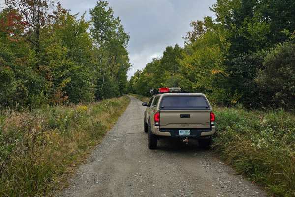
Pond Safety Road
This trail starts by following Ingerson Road where you will pass by a few old farmhouses and horse pastures. From there you will turn off onto a not very well marked road which is Pond of Safety Road. Along Pond of Safety Road, you will climb up the mountain on a decently developed dirt road through...
Learn more about Pond Safety Road
Beginner ATV trails near Greene, Maine
Explore ATV-friendly trails near you. These trails are accessible for vehicles up to 50 inches wide, perfect for ATVs and smaller off-road machines.
Edes Brook Trail
Edes Brook Trail is a scenic 3.7-mile route near Temple, Maine that serves as a perfect cruising path for beginners or those seeking smooth access to nearby scenic vistas and connecting trail networks. Starting at Intervale Road, the trail winds westward, climbing steadily from an elevation of about...
Learn more about Edes Brook Trail
Quarry Road Trail
Designed for intermediate riders, the Quarry Road Trail offers a convenient and scenic escape that seamlessly connects Waterville's commercial hub to the rural trail systems of Fairfield. Starting directly behind the Waterville Home Depot, this 2.4-mile route winds through the scenic Quarry Road Rec...
Learn more about Quarry Road Trail
Center Trail
This is a winding trail through mostly woods and fields. This trail is quite smooth with a few small rocks and rocky areas. A few rough exposed roots and a lot of ditches to keep the trail erosion under control. A couple of sharp turns and uneven terrain. No mud but may have mud puddles with a hard ...
Learn more about Center Trail
Frye Mountain - High Ridge to Getchell
The Frye Mountain - High Ridge to Getchell trail is a West to East crossing through the Frye Mountain State Game Management Area. This trail is just over 8 miles passing by the Carter Cemetery and includes a small 3 mile (out and back) to another private Cemetery, where the trail becomes a turnarou...
Learn more about Frye Mountain - High Ridge to Getchell
Beginner UTV/side-by-side trails near Greene, Maine
Find UTV and side-by-side trails near you. These trails accommodate vehicles up to 60 inches wide, ideal for UTVs, side-by-sides, and wider off-road rigs.
Edes Brook Trail
Edes Brook Trail is a scenic 3.7-mile route near Temple, Maine that serves as a perfect cruising path for beginners or those seeking smooth access to nearby scenic vistas and connecting trail networks. Starting at Intervale Road, the trail winds westward, climbing steadily from an elevation of about...
Learn more about Edes Brook Trail
Quarry Road Trail
Designed for intermediate riders, the Quarry Road Trail offers a convenient and scenic escape that seamlessly connects Waterville's commercial hub to the rural trail systems of Fairfield. Starting directly behind the Waterville Home Depot, this 2.4-mile route winds through the scenic Quarry Road Rec...
Learn more about Quarry Road Trail
Center Trail
This is a winding trail through mostly woods and fields. This trail is quite smooth with a few small rocks and rocky areas. A few rough exposed roots and a lot of ditches to keep the trail erosion under control. A couple of sharp turns and uneven terrain. No mud but may have mud puddles with a hard ...
Learn more about Center Trail
Frye Mountain - High Ridge to Getchell
The Frye Mountain - High Ridge to Getchell trail is a West to East crossing through the Frye Mountain State Game Management Area. This trail is just over 8 miles passing by the Carter Cemetery and includes a small 3 mile (out and back) to another private Cemetery, where the trail becomes a turnarou...
Learn more about Frye Mountain - High Ridge to Getchell
The onX Offroad Difference
onX Offroad combines trail photos, descriptions, difficulty ratings, width restrictions, seasonality, and more in a user-friendly interface. Available on all devices, with offline access and full compatibility with CarPlay and Android Auto. Discover what you're missing today!
Open Trail Map