Trail Overview
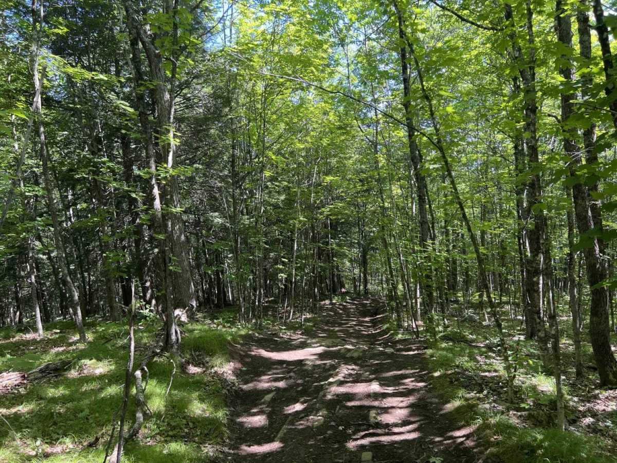
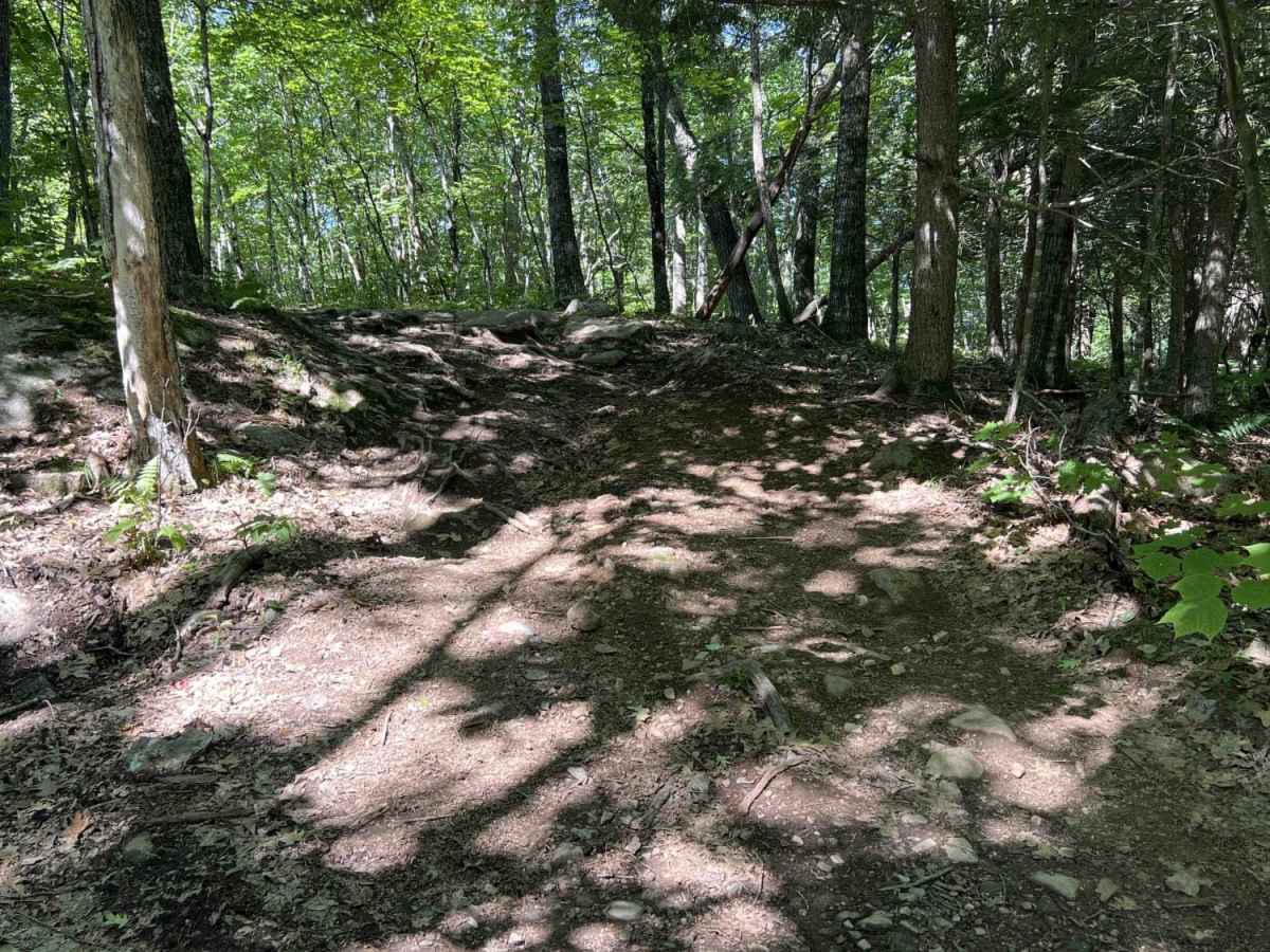
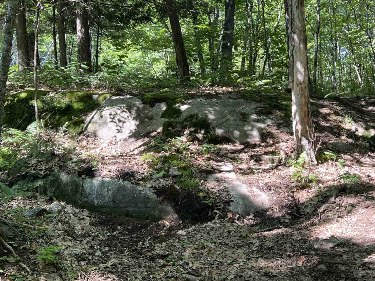
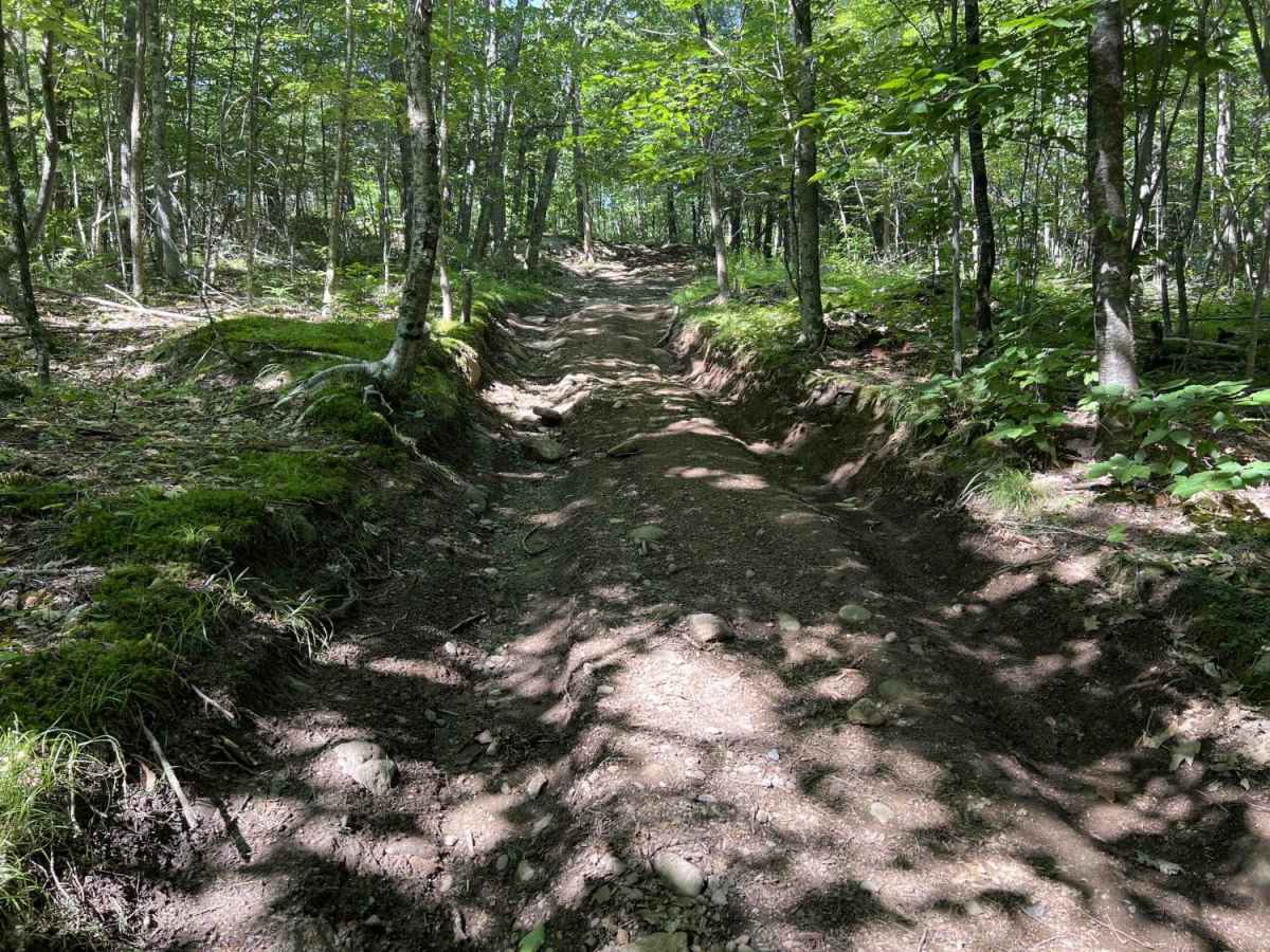
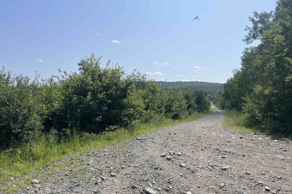
Chase Fire Tower is an ideal, short trail for beginner to intermediate offroaders seeking a scenic climb with a historical reward at the summit. Spanning just under a half-mile, this route ascends the backside of Chase Hill to a maximum elevation of 764 feet, gaining about 108 feet of cumulative elevation along the way. The trail features a rutty, dirt surface that is mostly manageable for stock high-clearance four-wheel-drive vehicles, SxSs, and ATVs. While there are a few challenging obstacles along the way, less experienced drivers can comfortably navigate the route thanks to flatter bypasses around the more difficult sections.
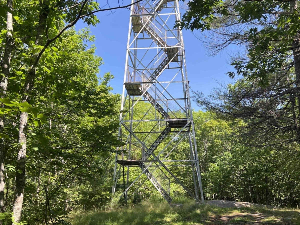
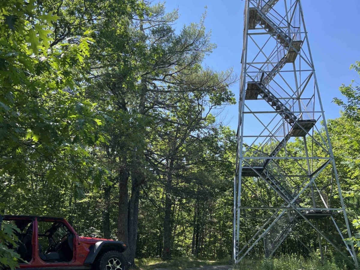
Drivers will encounter a couple of steeper grades during the ascent and descent, with maximum slopes reaching up to 15.7 degrees. At the top of Chase Hill, visitors can climb the historic fire tower to enjoy panoramic views of the surrounding landscape, though caution is advised around the base due to scattered broken glass. Accessing the trailhead via Cliffy Jewell Pasture Road is currently not permitted due to a closure; instead, travelers should take State Route 23 to Lancaster Road, then proceed up Chase Hill Road where the trailhead will appear on the left.