
Beginner Off-Road Trails
Near Gerrard, Colorado
Explore All Beginner Trails Near Gerrard, Colorado
Beginner Off-Road Trails Near Gerrard, Colorado
Discover the best beginner-friendly off-road trails near you. These easier, lower-rated trails are a great place to start — browse trail maps, check difficulty ratings, and find your next adventure.

Agua Ramon Mountain - Fr 630
Agua Ramon Mountain (Forest Road 630) is a scenic and highly accessible 15.5-mile dirt road in the Rio Grande National Forest, ideal for drivers of all skill levels seeking breathtaking alpine vistas without the challenge of technical terrain. Starting near South Fork off Rio Grande County Road 15, ...
Learn more about Agua Ramon Mountain - Fr 630
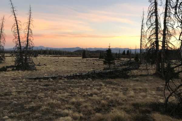
Agua Ramon
Agua Ramon offers an accessible yet scenic mountain drive in Colorado's Rio Grande National Forest, making it perfect for beginners and experienced overlanders seeking scenic dispersed camping. The route begins as a well-graded and maintained dirt road suitable for most standard vehicles, winding th...
Learn more about Agua Ramon
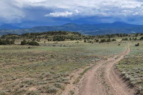
Pinon
Pinon is an easy 5.8-mile dead-end trail offering views of the wide valleys spanning Saguache and Rio Grande counties. This dirt and rocky route is suitable for stock high-clearance 4WD vehicles and SUVs. The trail is generally one to two vehicles wide and winds through rolling terrain with gentle g...
Learn more about Pinon
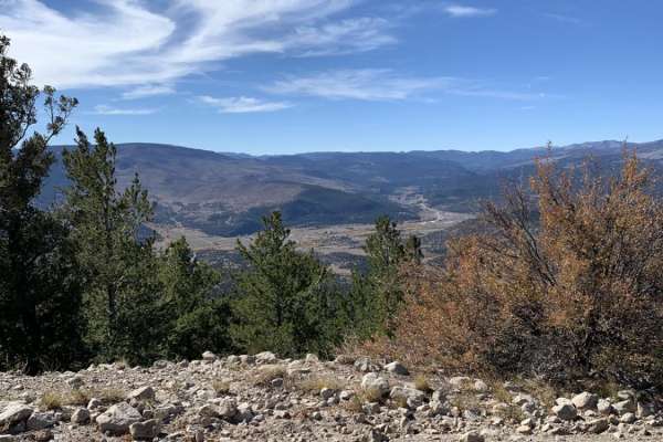
Baughman Cr
This is a long, out-and-back road that is well maintained and graded. It grants access to spurs that connect to other trails for ATV and motorcycles. There is some dispersed camping along the route. This road has no obstacles and is easily navigated, as long as snow is not present.
Learn more about Baughman Cr
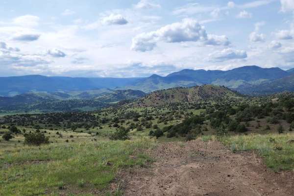
Pinon Cut Off
Pinon Cut Off is a 2.4-mile off-road connector trail along the border of Saguache and Rio Grande counties, near Twin Mountains, Colorado. Suitable for stock 4x4s and high-clearance vehicles.
The trail is rated a technical 3 out of 10 and is straightforward when dry. However, wet weather creates sli...
Learn more about Pinon Cut Off
Beaver Creek Trail
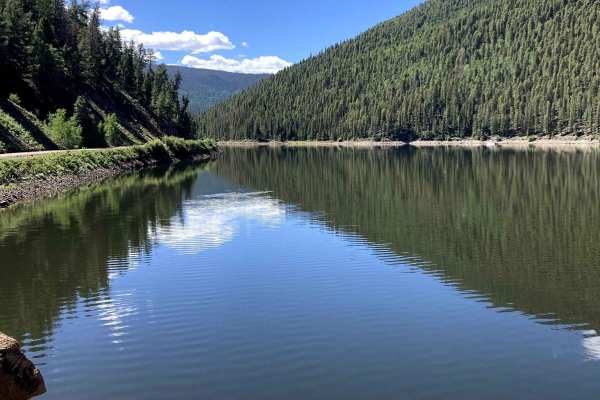
Beaver Creek Trail is a fairly easy trail that is graded occasionally, making it a nice, smooth road for most of the year. The Elevation is high, reaching over 11,000 ft, so if you are from sea level, be prepared. This also means you could run into snow early in the year. You may find that early sea...
Learn more about Beaver Creek Trail
Lone Rock
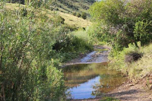
Lone Rock is an engaging, moderately challenging 4.7-mile trail ideal for stock four-wheel-drive vehicles, high-clearance SUVs, and SxSs looking for scenic high-country views and varied terrain. Rising from an elevation of 8,869 feet to a peak of 10,192 feet, this route features a cumulative elevati...
Learn more about Lone Rock
Park Creek Road-FR 380
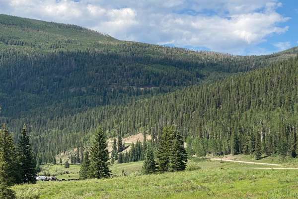
Park Creek Road starts at Highway 160 to the north of Wolf Creek Pass. It takes you up 4,000 feet to an elevation of 11,627 feet. You will travel through Corral Park and then past sideroads such as Fox Mountain, Swale Lake, Treasure Creek, and many more, including the road to Summitville. There are ...
Learn more about Park Creek Road-FR 380
Natural Arch
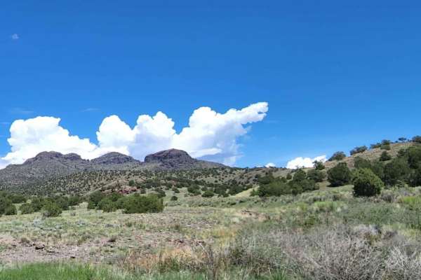
Natural Arch is an easy, scenic 5.9-mile dirt road near Del Norte, Colorado, ideal for beginners, families, and high-clearance vehicles looking to access unique geological formations and hiking trails. Rising from 8,280 feet to a peak elevation of 8,810 feet, the route winds through rolling hills an...
Learn more about Natural Arch
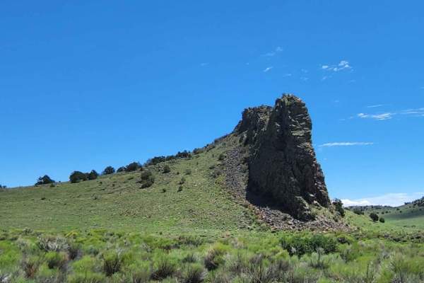
Indiana Head
This road can be muddy when wet, with water puddles. It has beautiful views of the open valley desert and some really cool rocks. There seems to be no camping. The road ends abruptly, and the continued road goes to a ranch. Dirt or rocky road with gentle grades. Safe for most 4WD and high-clearance ...
Learn more about Indiana Head
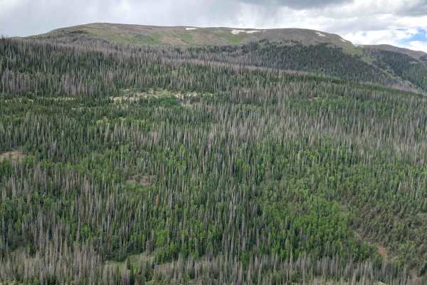
West Pinos Travers
Similar to the other trails in the area, West Pinos Travers is graded and an easy trail that almost any car could get up. The trail connects between Pinos Creek and Summitville Roads and Beaver Creek Trail, sticking to above 11,000 ft most of the time. There are lots of good spots for camping along ...
Learn more about West Pinos Travers
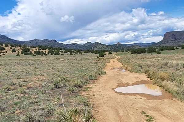
East Butte
Beautiful road with amazing views. This road can be muddy when wet and has some water puddles. There is no camping, but it is a quick, simple, enjoyable road to take a drive on. Dirt or rocky road, typically unmaintained after rain or snow. You may encounter shallow water crossings and obstacles und...
Learn more about East Butte
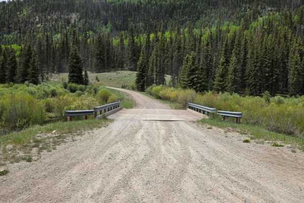
Fox Mountain Road
This trail is an up-and-back trail with several vistas of the mountains along the way. The trail also features views of the valley and several nice dispersed campsites. The trail is mainly a dirt road with a few minor rocky areas. Please respect Forest Service rules and stick to the trail.
Learn more about Fox Mountain Road
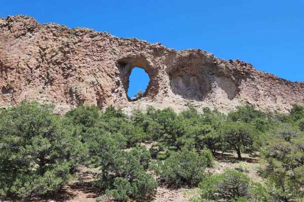
La Ventana
La Ventana is an easy and scenic 1.6-mile dirt road in the Rio Grande National Forest that provides a quick, enjoyable drive leading directly to the trailhead for the striking Natural Arch geologic formation. Perfect for beginners, scenic drivers, and hikers alike, this short route climbs gently fro...
Learn more about La Ventana
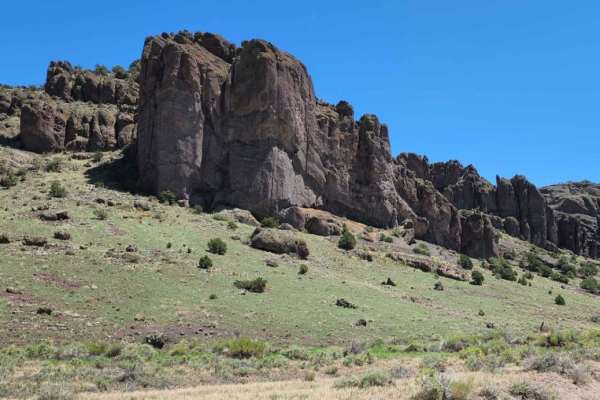
Barrel Springs
This road can be muddy when wet with water puddles. It has beautiful views of the big open valley desert, and really cool rocks. There seems to be no camping. Dirt or rocky road, typically unmaintained after rain or snow. You may encounter shallow water crossings and obstacles under 12" on the trail...
Learn more about Barrel Springs
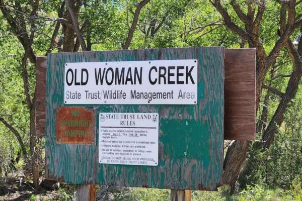
Old Woman Creek
This road has beautiful views! It can be muddy and have water puddles when wet. There is no camping along this road. It is steep in areas and also has some meadows where the mud can get really bad if it's been raining a lot. It does go through private property. There are a couple of gates; please re...
Learn more about Old Woman Creek
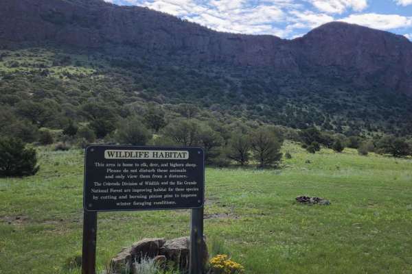
Canada Ancha
This road can be muddy when wet with water puddles. It has beautiful views, but there seems to be no camping. This is a very busy area for dirt bikes and SxSs. Dirt or rocky road, typically unmaintained after rain or snow. You may encounter shallow water crossings and obstacles under 12" on the trai...
Learn more about Canada Ancha
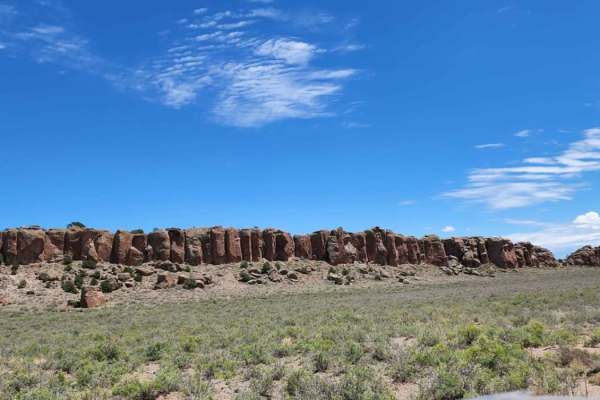
Old Dry Drainage
This road can be muddy when wet with water puddles. It has beautiful views of the big open desert, and there are some pretty cool rocks. There seems to be no camping. It's a dirt or rocky road with gentle grades that is safe for most 4WD and high-clearance 2WD vehicles. Roads are typically two vehic...
Learn more about Old Dry Drainage
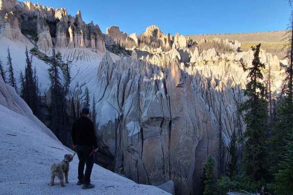
Pool Table Road
Pool Table Road goes to the Wheeler Geographic area, one of two places in Colorado that have Hoodoos. It is a long winding road, about 1/2 of it is annoyingly bumpy but drivable in an average stock Jeep or truck. There is a section that is heavily rutted but can be done with careful wheel placement....
Learn more about Pool Table Road
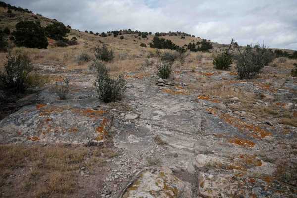
Pura Vida
The south end of this single track starts on a dirt road and heads north towards the intersection with Limekiln Peak. It gets more interesting than some of the surrounding trails in the area, as it has larger slabs of embedded rock that you ride over, sometimes like a ramp up the mesa. It weaves thr...
Learn more about Pura Vida
Beginner ATV trails near Gerrard, Colorado
Explore ATV-friendly trails near you. These trails are accessible for vehicles up to 50 inches wide, perfect for ATVs and smaller off-road machines.
Agua Ramon
Agua Ramon offers an accessible yet scenic mountain drive in Colorado's Rio Grande National Forest, making it perfect for beginners and experienced overlanders seeking scenic dispersed camping. The route begins as a well-graded and maintained dirt road suitable for most standard vehicles, winding th...
Learn more about Agua Ramon
Pinon
Pinon is an easy 5.8-mile dead-end trail offering views of the wide valleys spanning Saguache and Rio Grande counties. This dirt and rocky route is suitable for stock high-clearance 4WD vehicles and SUVs. The trail is generally one to two vehicles wide and winds through rolling terrain with gentle g...
Learn more about Pinon
Baughman Cr
This is a long, out-and-back road that is well maintained and graded. It grants access to spurs that connect to other trails for ATV and motorcycles. There is some dispersed camping along the route. This road has no obstacles and is easily navigated, as long as snow is not present.
Learn more about Baughman Cr
Pinon Cut Off
Pinon Cut Off is a 2.4-mile off-road connector trail along the border of Saguache and Rio Grande counties, near Twin Mountains, Colorado. Suitable for stock 4x4s and high-clearance vehicles.
The trail is rated a technical 3 out of 10 and is straightforward when dry. However, wet weather creates sli...
Learn more about Pinon Cut Off
Beginner UTV/side-by-side trails near Gerrard, Colorado
Find UTV and side-by-side trails near you. These trails accommodate vehicles up to 60 inches wide, ideal for UTVs, side-by-sides, and wider off-road rigs.
Pinon
Pinon is an easy 5.8-mile dead-end trail offering views of the wide valleys spanning Saguache and Rio Grande counties. This dirt and rocky route is suitable for stock high-clearance 4WD vehicles and SUVs. The trail is generally one to two vehicles wide and winds through rolling terrain with gentle g...
Learn more about Pinon
Pinon Cut Off
Pinon Cut Off is a 2.4-mile off-road connector trail along the border of Saguache and Rio Grande counties, near Twin Mountains, Colorado. Suitable for stock 4x4s and high-clearance vehicles.
The trail is rated a technical 3 out of 10 and is straightforward when dry. However, wet weather creates sli...
Learn more about Pinon Cut Off
Beaver Creek Trail
Beaver Creek Trail is a fairly easy trail that is graded occasionally, making it a nice, smooth road for most of the year. The Elevation is high, reaching over 11,000 ft, so if you are from sea level, be prepared. This also means you could run into snow early in the year. You may find that early sea...
Learn more about Beaver Creek Trail
Lone Rock
Lone Rock is an engaging, moderately challenging 4.7-mile trail ideal for stock four-wheel-drive vehicles, high-clearance SUVs, and SxSs looking for scenic high-country views and varied terrain. Rising from an elevation of 8,869 feet to a peak of 10,192 feet, this route features a cumulative elevati...
Learn more about Lone Rock
The onX Offroad Difference
onX Offroad combines trail photos, descriptions, difficulty ratings, width restrictions, seasonality, and more in a user-friendly interface. Available on all devices, with offline access and full compatibility with CarPlay and Android Auto. Discover what you're missing today!
Open Trail Map