Trail Overview
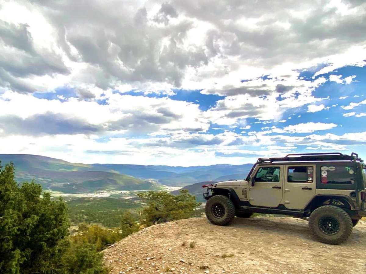
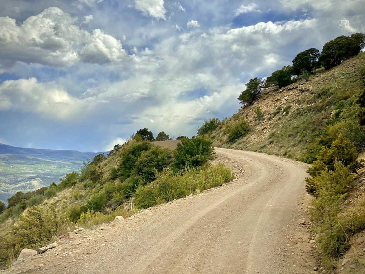
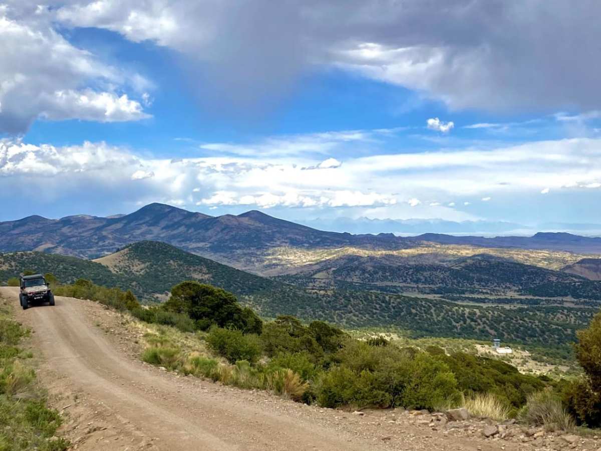
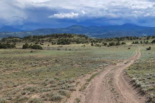
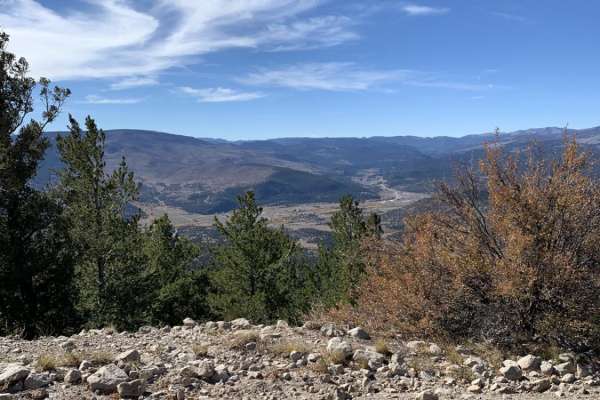
Agua Ramon Mountain (Forest Road 630) is a scenic and highly accessible 15.5-mile dirt road in the Rio Grande National Forest, ideal for drivers of all skill levels seeking breathtaking alpine vistas without the challenge of technical terrain. Starting near South Fork off Rio Grande County Road 15, this graded forest service road winds gradually upward from an initial elevation of 8,296 feet to a peak of 11,660 feet. Along the way, travelers are treated to spectacular, sweeping views of the surrounding San Luis Valley and the rugged peaks of the San Juan Mountains. The well-maintained gravel and dirt surface makes this route suitable for standard passenger vehicles and high-clearance two-wheel-drive cars during dry summer and autumn months.
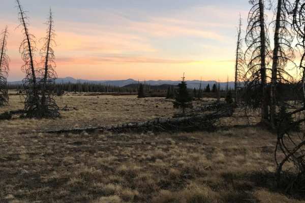
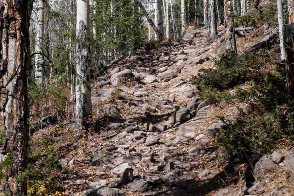
As the road climbs over 3,300 feet of net elevation gain, it traverses diverse ecosystems, starting in lower-elevation pinyon-juniper woodlands and transitioning into dense stands of aspen and mixed conifer forests. Several dispersed camping sites are scattered along the corridor, offering tranquil spots to pitch a tent or park an overland rig. Offroaders can use this route to connect to deeper trail networks within the national forest, making it a great starting point for a longer backcountry adventure. Be prepared for cooler temperatures at the higher elevations, and note that the road is typically closed or impassable due to snow from late autumn through late spring.
Access Description
The route is managed by the US Forest Service as part of the Rio Grande National Forest. There are no fees or permits required to drive this forest road. The route is open to all motor vehicles, including standard passenger cars under dry conditions, but is subject to seasonal closures due to winter snowpack, typically remaining closed from late fall through late spring.