Pinon

Total Miles5.8
Technical Rating
2Easy
Best TimeSpring, Summer, Fall
Trail TypeFull-Width Road
Accessible By
Open Trail Map

Trail Overview

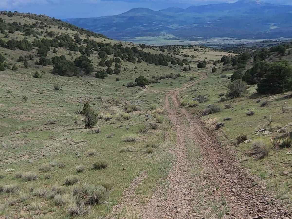
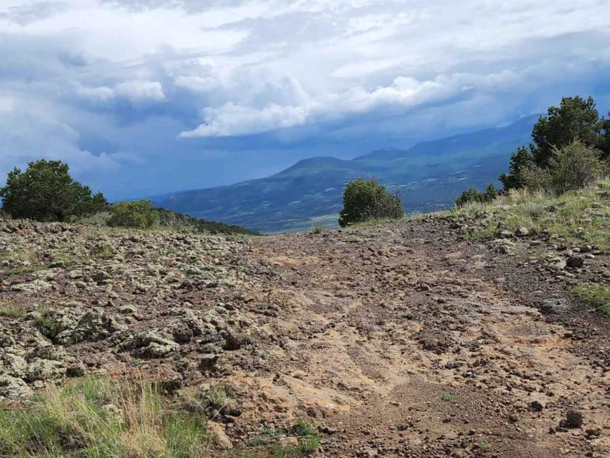
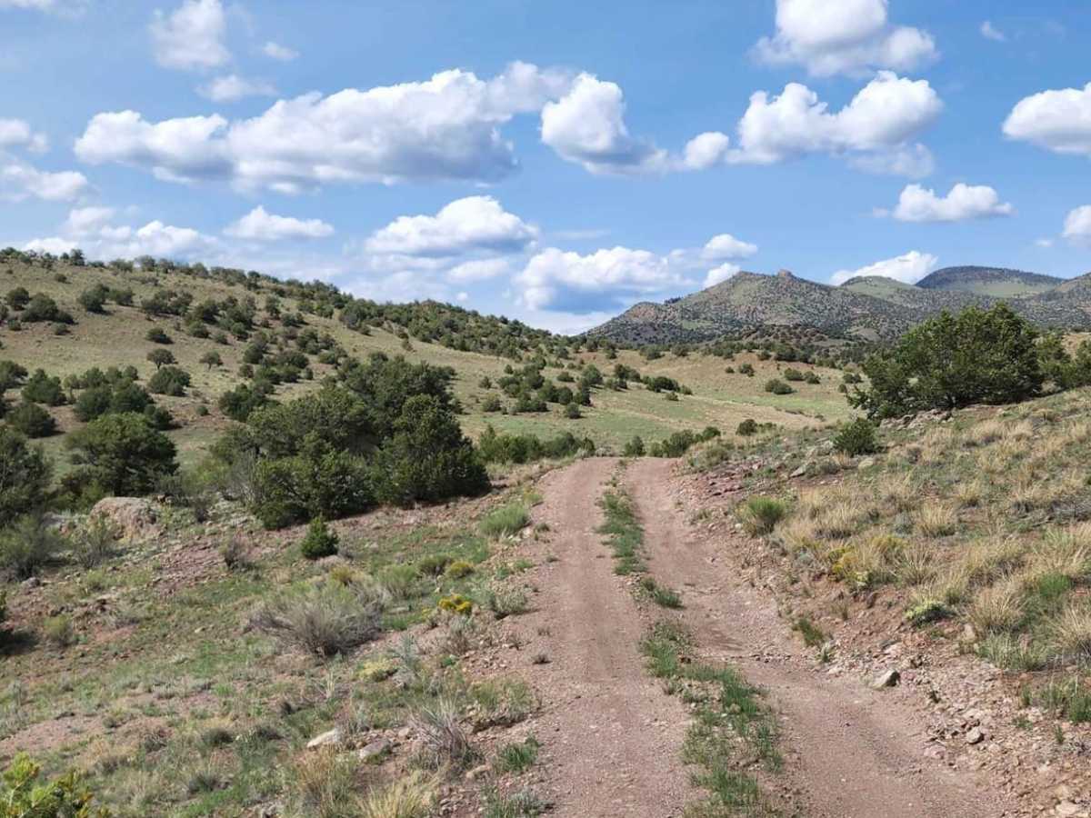
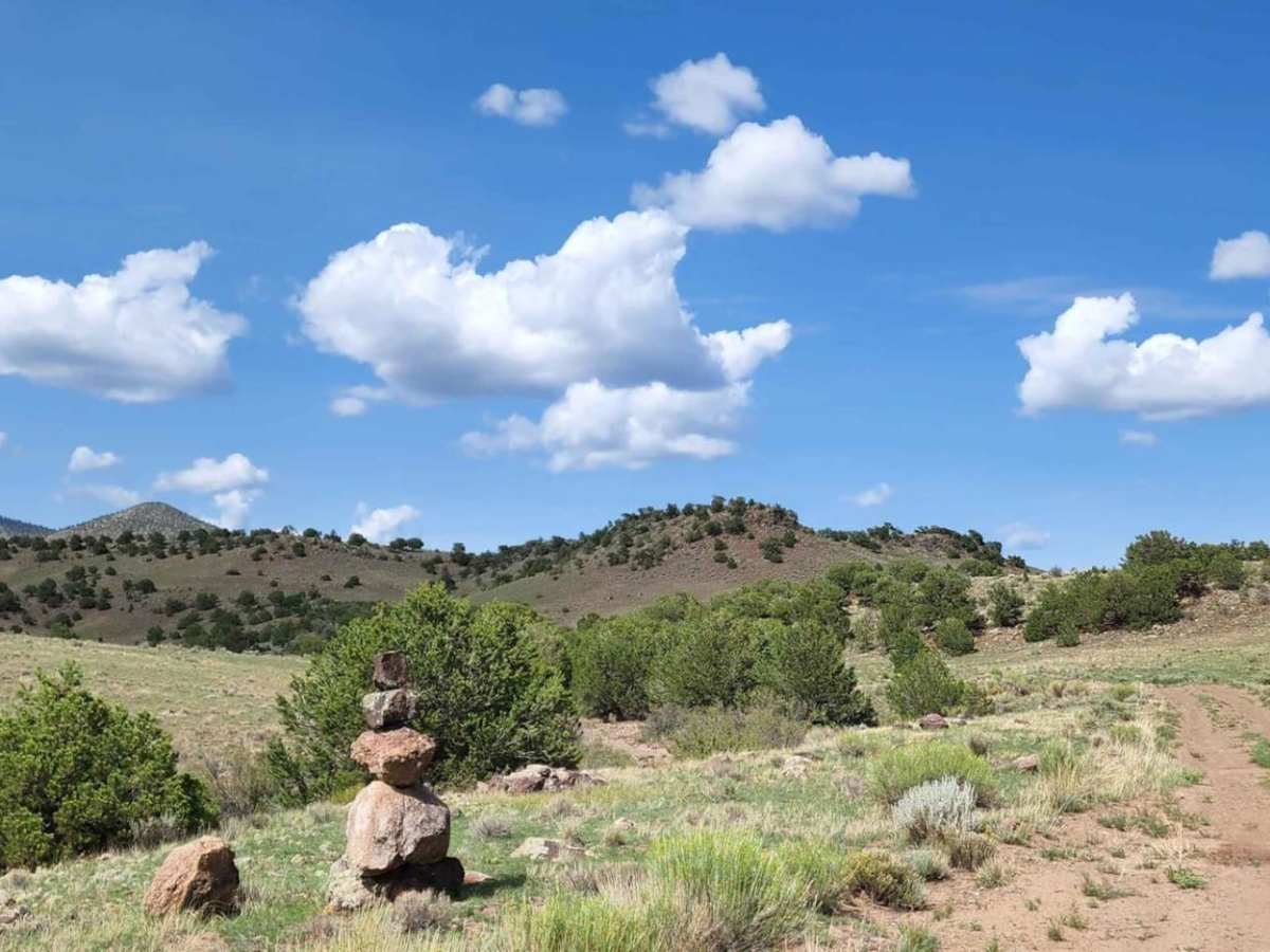
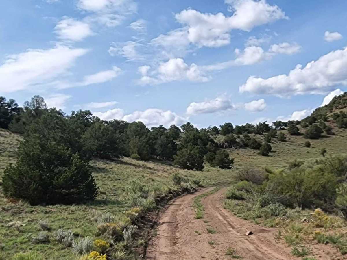
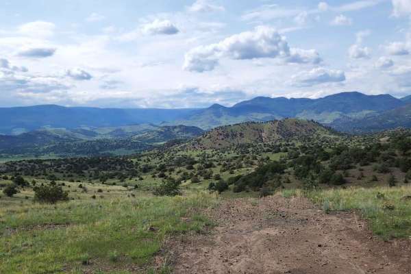
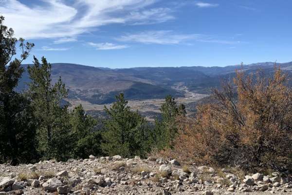
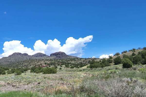
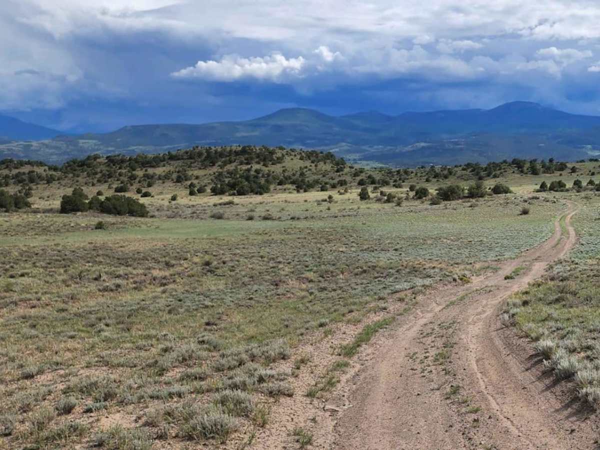
Pinon is an easy 5.8-mile dead-end trail offering views of the wide valleys spanning Saguache and Rio Grande counties. This dirt and rocky route is suitable for stock high-clearance 4WD vehicles and SUVs. The trail is generally one to two vehicles wide and winds through rolling terrain with gentle grades. With a technical rating of 2, the trail features minor obstacles such as small ledges under 12 inches and occasional shallow water crossings. The route is not winter-maintained, becomes highly slick and muddy when wet, and does not permit camping along the road.

Photos of Pinon

Difficulty

Muddy when wet, not winter maintained.

Technical Rating

2

Pinon Trail can be accessed by the following ride types:

  • Single Track
  • 50 Inch
  • 60 Inch
  • High Clearance
  • Full Width

Access Description

No camping is allowed along this road. The route is not winter-maintained and can become highly muddy and slick when wet, making it potentially impassable during or after rain or snow.

Pinon Map

The onX Offroad Difference

onX Offroad combines trail photos, descriptions, difficulty ratings, width restrictions, seasonality, and more in a user-friendly interface. Available on all devices, with offline access and full compatibility with CarPlay and Android Auto. Discover what you're missing today!

Open Trail Map