Trail Overview
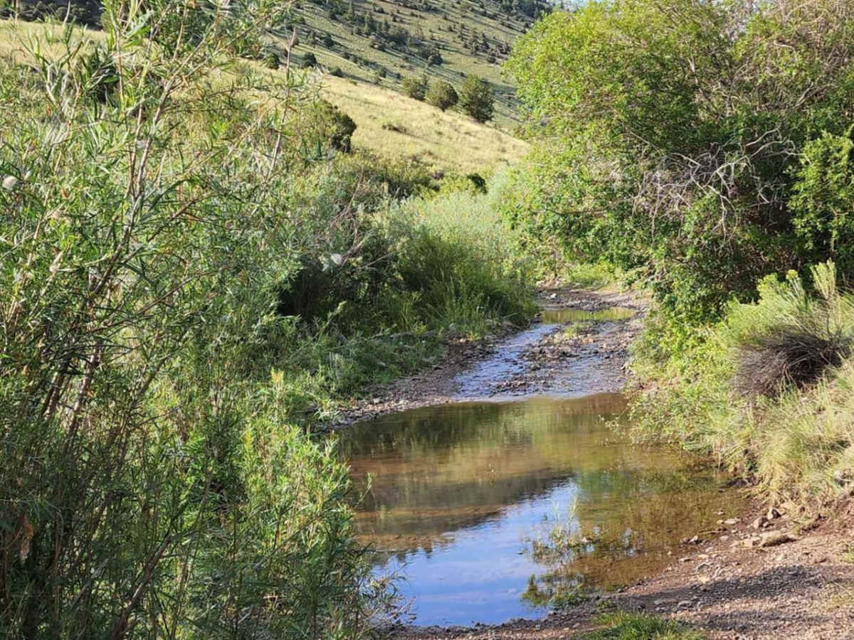
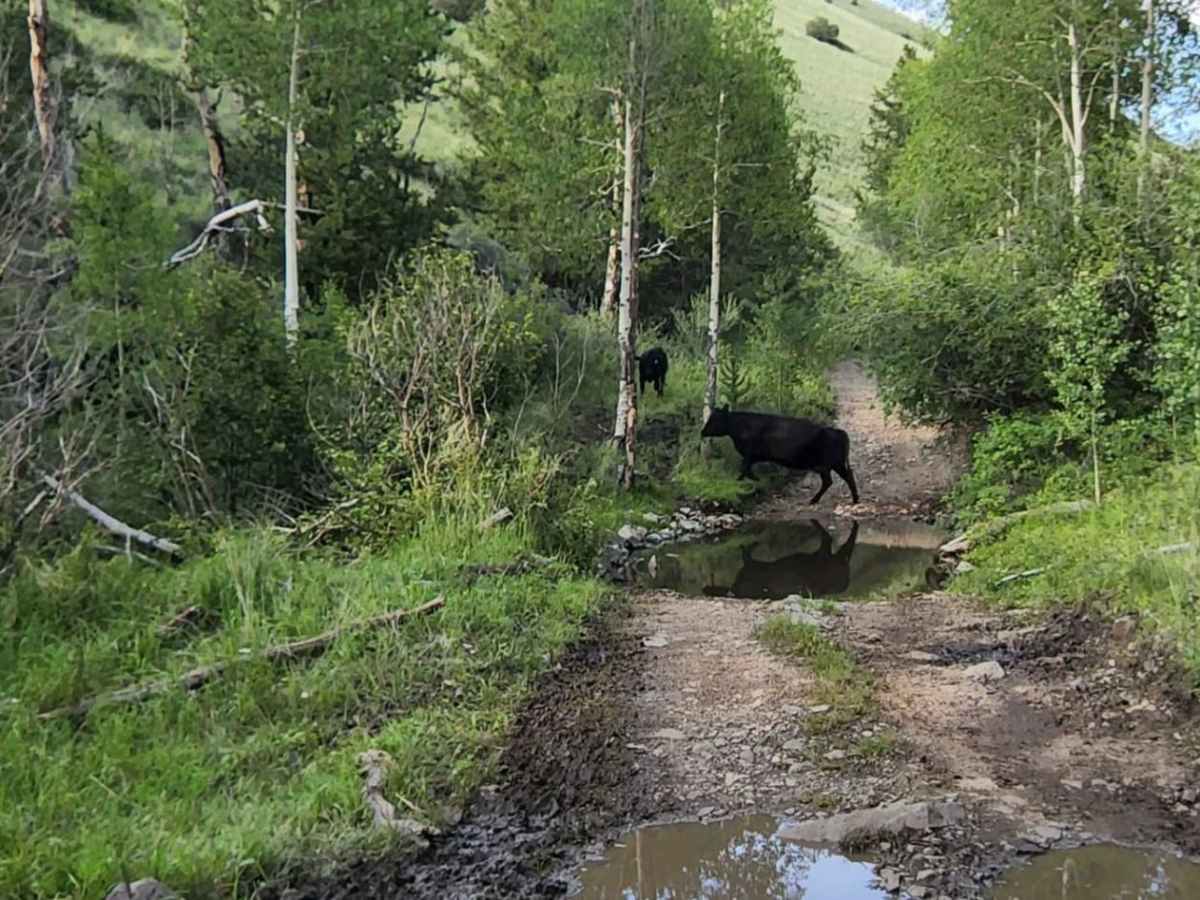
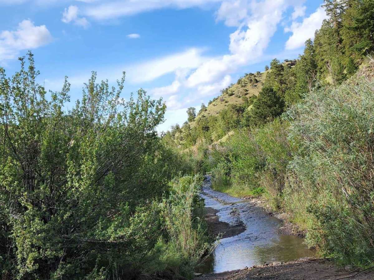
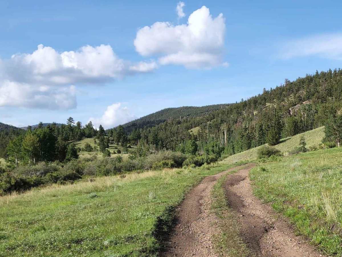
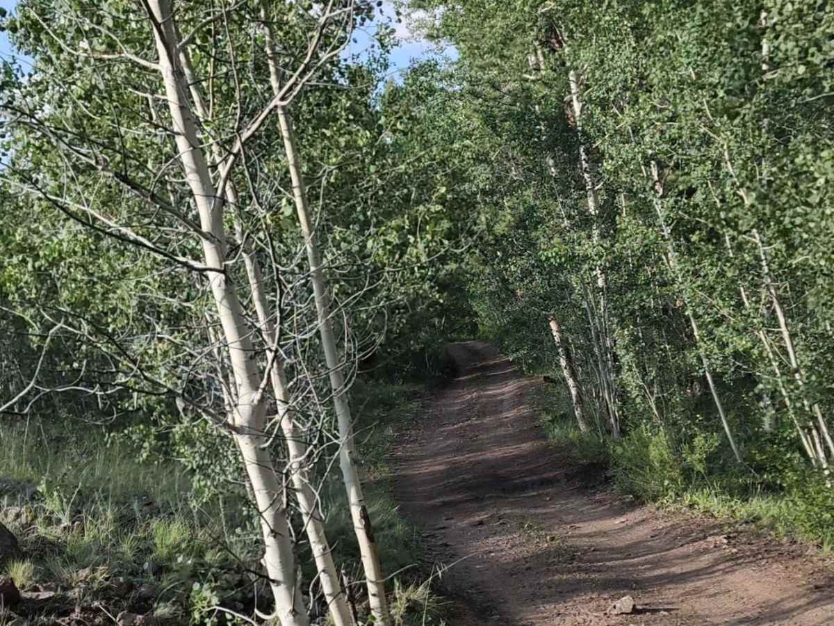
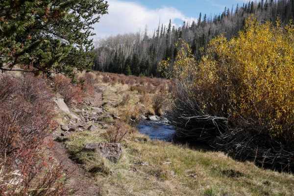
Lone Rock is an engaging, moderately challenging 4.7-mile trail ideal for stock four-wheel-drive vehicles, high-clearance SUVs, and SxSs looking for scenic high-country views and varied terrain. Rising from an elevation of 8,869 feet to a peak of 10,192 feet, this route features a cumulative elevation gain of over 1,340 feet as it winds through pine forests and open clearings. The trail's defining feature is a section where a shallow stream flows directly down the middle of the roadbed, requiring drivers to proceed slowly to minimize trail erosion. Drivers will navigate a primary surface of unpaved, rutted dirt interspersed with rocky sections, sandy washes, and occasional mud holes, especially after wet weather. Water crossings remain manageable, typically staying under a foot in depth, but can become slick and muddy when wet.
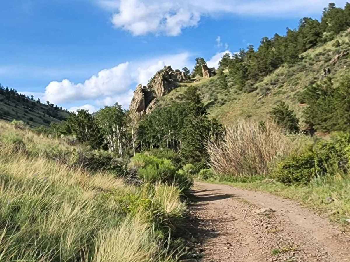
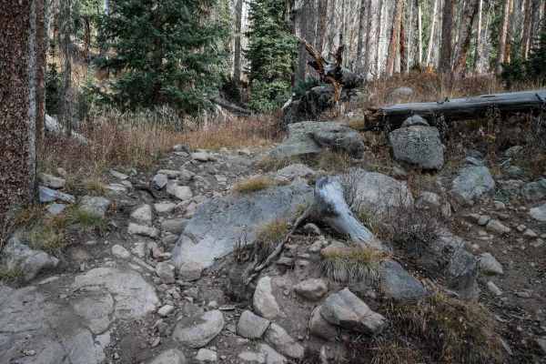
With a technical rating of 3, the trail presents minor obstacles including loose rocks, off-camber sections, and ledges or short steep grades up to 12 inches. Most of the route is one vehicle wide with limited places to pass, so drivers should remain alert for oncoming traffic. Near the top of the climb, offroaders can find several established dispersed campsites just off the main road, making it a great option for an overnight backcountry stay. The trail eventually terminates at a private property boundary, so visitors must respect posted signs and turn around at the designated end point. While generally passable in the summer and early fall, the route is prone to heavy mud when wet, and high-altitude snowpack can block access late into the spring.