
Beginner Off-Road Trails
Near Gamaliel, Arkansas
Explore All Beginner Trails Near Gamaliel, Arkansas
Beginner Off-Road Trails Near Gamaliel, Arkansas
Discover the best beginner-friendly off-road trails near you. These easier, lower-rated trails are a great place to start — browse trail maps, check difficulty ratings, and find your next adventure.
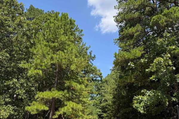
Cockran Road
Cockran Road can be accessed from Highway 341, which is also the only way to get to this trail as it is a out and back trail. Getting off of Highway 341 you will make your way West going uphill navigating through dense woods with some tight trees. This trail also offers some small off camber section...
Learn more about Cockran Road
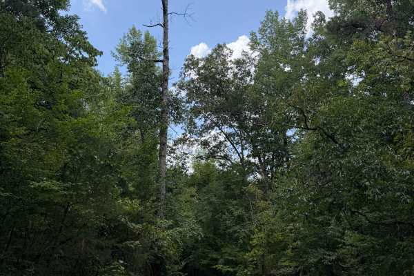
Perry Creek
Family Trip trail is another amazing trail in this area. You can only access this trail from Cartney's Stream Trail. This trail is also an out and back trail that ends at Private Property with signs posted. There are multiple water crossings along this trail that have great pull off spots for swimmi...
Learn more about Perry Creek
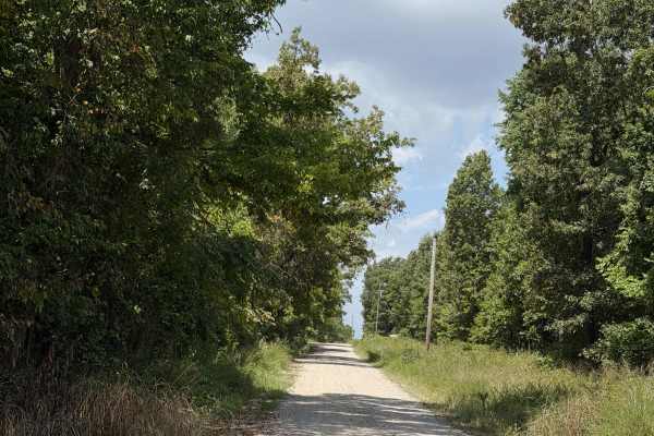
County Road 114
Cartneys Trail is a wonderful trail and one of the top trails to do in this area. This trail can be accessed from Highway 341 or from Baxter 114 Trail. This is a out and back trail but offers a lot of amazing contents. Heading Northwest on this trail you will find a easy gravel road taking you to so...
Learn more about County Road 114
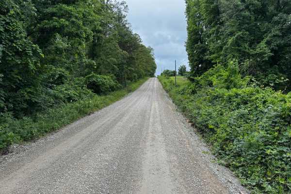
Baxter 114
This route begins as a well maintained graded county gravel road winding through dense hardwood forest and rolling Ozark hills. The road is generally wide enough for two vehicles to pass comfortably, with long sightlines, gentle curves, and occasional elevation changes. Along the route, the scenery ...
Learn more about Baxter 114
1161
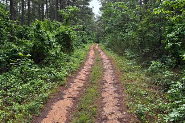
This route branches off Highway 341 and quickly narrows into a one vehicle wide trail winding through dense forest and thick pines. The trail surface constantly changes, giving the route a little bit of everything. Some sections are relatively smooth with packed dirt and light gravel, while others b...
Learn more about 1161

1105
This route is a very well-maintained gravel road that winds through the rolling countryside and dense woods of the Ozarks. The road surface is smooth and wide enough for two vehicles to pass comfortably in most areas, making for an easy and relaxing drive. Tall trees and thick green vegetation line ...
Learn more about 1105
91013B
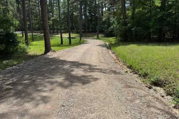
This spur route branches off road # 1105 and travels through dense Ozark forest near a local cemetery. The road begins fairly maintained with smooth gravel and shaded tree cover, but becomes rougher farther in due to water erosion and narrowing sections. Along the route, drivers will encounter a sha...
Learn more about 91013B
1148
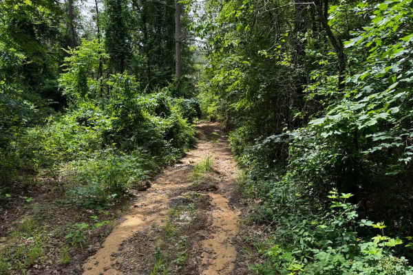
This route begins on a well-maintained gravel road near a local cemetery before transitioning into a narrower and less maintained forest service road deeper into the woods. The trail winds through dense pine and hardwood forest with sections showing exposed dirt, shallow washouts, loose gravel, and ...
Learn more about 1148
91017B
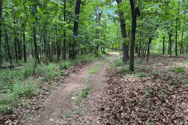
This route begins with direct access off Highway 341 and quickly transitions into a lightly maintained forest trail winding through dense pine and hardwood forest. Along the route, drivers will pass through open grassy meadows before re-entering tighter wooded sections with narrow corridors and over...
Learn more about 91017B
91017A
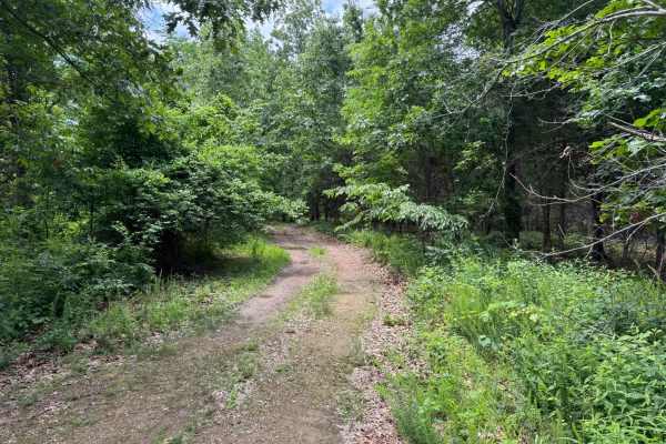
This out-and-back route travels through a mix of dense Ozark timber and open grassy clearings, giving the trail a secluded and remote feel. Much of the route is only one vehicle wide, so extra caution should be used if another vehicle is encountered, as passing opportunities are limited. The trail s...
Learn more about 91017A
Merrill Ridge
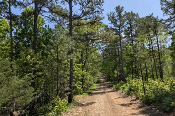
This narrow trail features a grassy center and winds gently through a beautiful forest landscape. While mostly smooth, it does have some bumpy sections that require attention. Numerous offshoots and smaller trails invite further exploration, and the area appears to be a popular spot for local hunter...
Learn more about Merrill Ridge
County Road 74
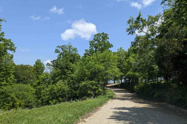
This trail offers both scenic beauty and a sense of historical significance as it climbs to the top of the mountain, where expansive views of the valley below reward the effort. Once an important route for the local community, it still passes numerous private properties, with old homesteads, derelic...
Learn more about County Road 74
Brush Creek
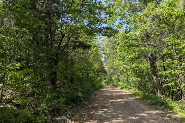
This trail consists mostly of well-maintained gravel but includes winding, muddy sections and off-camber stretches caused by storm damage. The route features several very steep ascents and descents, especially near the beginning, where it drops sharply from the paved road. Aside from one active ranc...
Learn more about Brush Creek
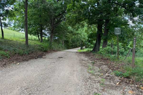
Baxter 74
This route is a very well-maintained gravel road that travels through the wooded hills of the Ozarks. The road stays two vehicles wide for the entire drive, making it comfortable for full-size trucks, SUVs, and trailers. Tall hardwoods and pines line both sides of the roadway, creating a shaded cano...
Learn more about Baxter 74
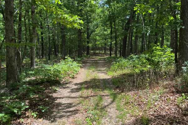
91018A
This route is a narrow one-vehicle-wide trail that winds through a mix of wooded forest sections and open grassy meadows. Passing another vehicle could be difficult in several areas due to the tight tree cover and limited pull-off spots. The trail surface is mostly hard-packed dirt with light vegeta...
Learn more about 91018A
Hay Hollow
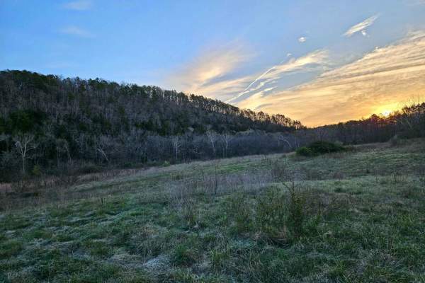
Hay Hollow FS 759 offers complex terrain, amazing views, historic sites, and fantastic camping. If running this trail from east to west, the trail starts with a large circle parking area (picnic table and fire pit). Follow a minor road where the actual trail begins. Immediately, you will cross Mine ...
Learn more about Hay Hollow
Casteel Road
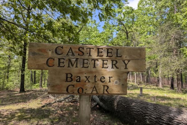
This off-road trail is ideal for adventurers seeking dispersed camping opportunities, featuring a tight, winding route that remains accessible even as it branches into numerous side trails best explored by compact vehicles or side-by-sides. The trail follows along a scenic ridge and offers a predomi...
Learn more about Casteel Road
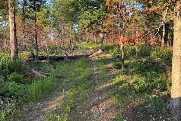
91080C
This out and back route winds through a quiet mix of hardwood forest, and open grassy meadows. The trail itself is a narrow two-track with sections of loose gravel, grass growing in the middle, and light overgrowth pushing in from the sides. Along the wooded portions, a couple of fallen trees have p...
Learn more about 91080C
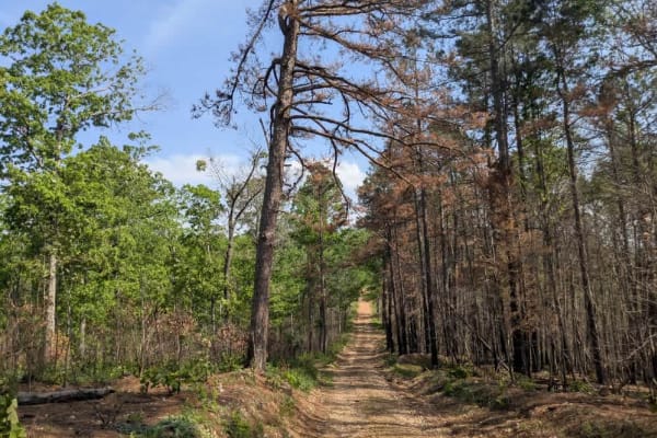
Barkshed Road
This trail offers a rewarding experience for those seeking both adventure and some of the best dispersed camping in this part of the Ozarks. It begins as a wide, smooth, and well-maintained road, but once past the trailhead, the terrain quickly becomes more challenging and engaging. Drivers will enc...
Learn more about Barkshed Road
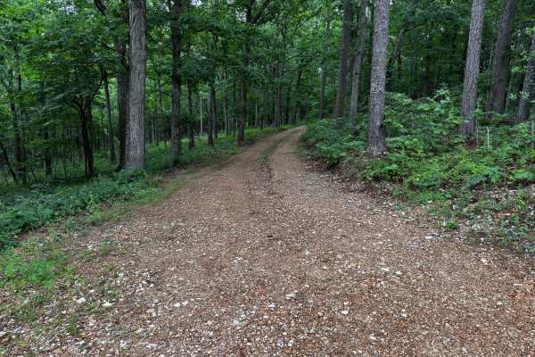
Cripple Turkey
This route winds through a dense forest of tall pine and hardwood trees on a mostly maintained gravel road. The trail is generally smooth and easy to navigate, though it remains only one vehicle wide for most of the drive, making passing difficult for wider rigs or trailers. The surrounding forest c...
Learn more about Cripple Turkey
Beginner ATV trails near Gamaliel, Arkansas
Explore ATV-friendly trails near you. These trails are accessible for vehicles up to 50 inches wide, perfect for ATVs and smaller off-road machines.
91017B
This route begins with direct access off Highway 341 and quickly transitions into a lightly maintained forest trail winding through dense pine and hardwood forest. Along the route, drivers will pass through open grassy meadows before re-entering tighter wooded sections with narrow corridors and over...
Learn more about 91017B
Merrill Ridge
This narrow trail features a grassy center and winds gently through a beautiful forest landscape. While mostly smooth, it does have some bumpy sections that require attention. Numerous offshoots and smaller trails invite further exploration, and the area appears to be a popular spot for local hunter...
Learn more about Merrill Ridge
County Road 74
This trail offers both scenic beauty and a sense of historical significance as it climbs to the top of the mountain, where expansive views of the valley below reward the effort. Once an important route for the local community, it still passes numerous private properties, with old homesteads, derelic...
Learn more about County Road 74
Hay Hollow
Hay Hollow FS 759 offers complex terrain, amazing views, historic sites, and fantastic camping. If running this trail from east to west, the trail starts with a large circle parking area (picnic table and fire pit). Follow a minor road where the actual trail begins. Immediately, you will cross Mine ...
Learn more about Hay Hollow
Beginner UTV/side-by-side trails near Gamaliel, Arkansas
Find UTV and side-by-side trails near you. These trails accommodate vehicles up to 60 inches wide, ideal for UTVs, side-by-sides, and wider off-road rigs.
91017B
This route begins with direct access off Highway 341 and quickly transitions into a lightly maintained forest trail winding through dense pine and hardwood forest. Along the route, drivers will pass through open grassy meadows before re-entering tighter wooded sections with narrow corridors and over...
Learn more about 91017B
Merrill Ridge
This narrow trail features a grassy center and winds gently through a beautiful forest landscape. While mostly smooth, it does have some bumpy sections that require attention. Numerous offshoots and smaller trails invite further exploration, and the area appears to be a popular spot for local hunter...
Learn more about Merrill Ridge
County Road 74
This trail offers both scenic beauty and a sense of historical significance as it climbs to the top of the mountain, where expansive views of the valley below reward the effort. Once an important route for the local community, it still passes numerous private properties, with old homesteads, derelic...
Learn more about County Road 74
Hay Hollow
Hay Hollow FS 759 offers complex terrain, amazing views, historic sites, and fantastic camping. If running this trail from east to west, the trail starts with a large circle parking area (picnic table and fire pit). Follow a minor road where the actual trail begins. Immediately, you will cross Mine ...
Learn more about Hay Hollow
The onX Offroad Difference
onX Offroad combines trail photos, descriptions, difficulty ratings, width restrictions, seasonality, and more in a user-friendly interface. Available on all devices, with offline access and full compatibility with CarPlay and Android Auto. Discover what you're missing today!
Open Trail Map