Trail Overview
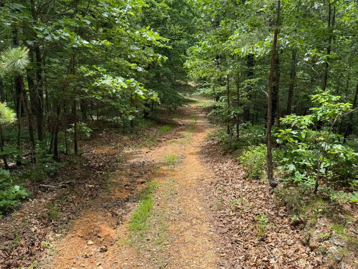
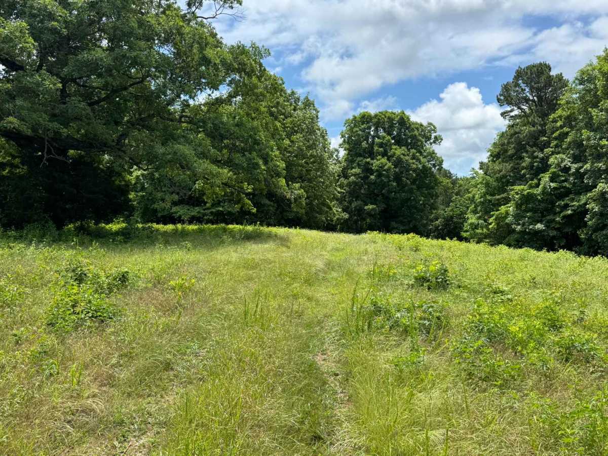
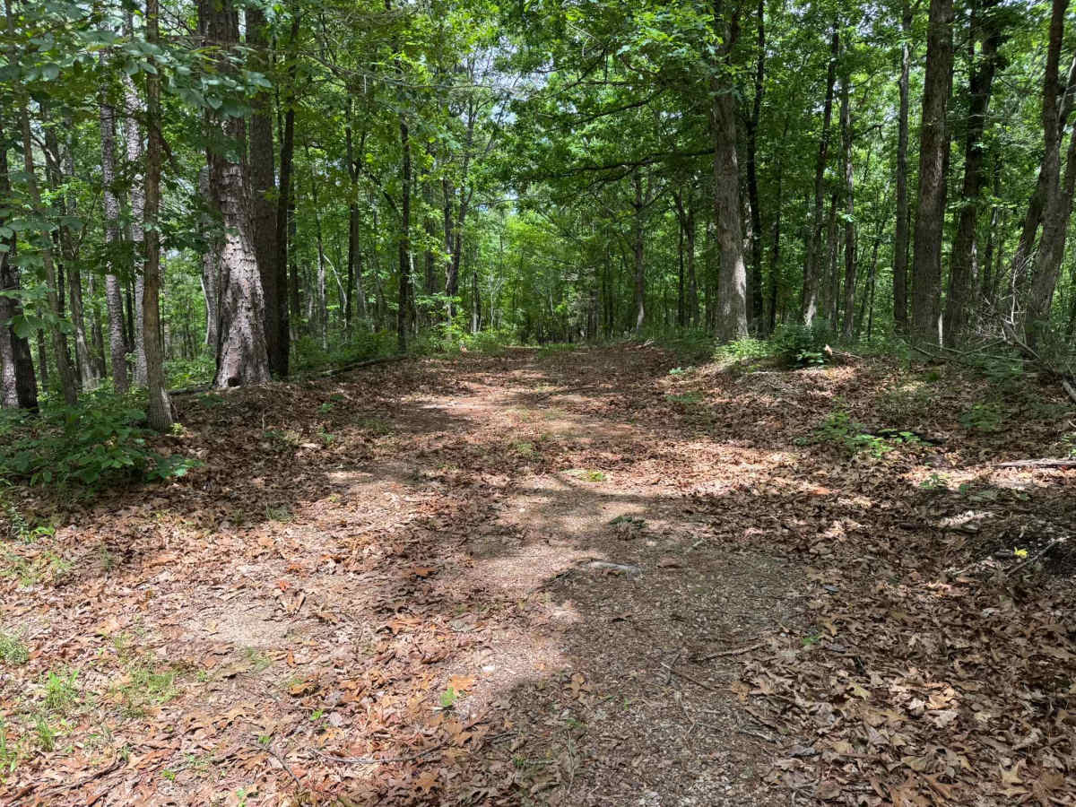
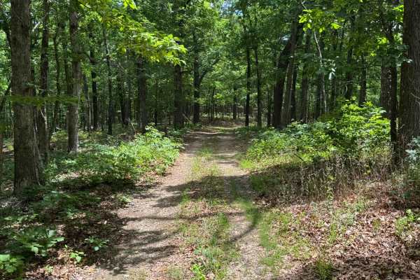
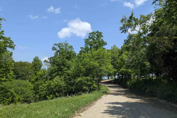
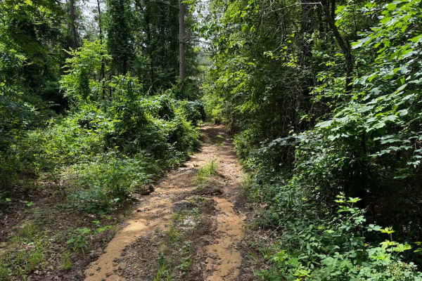
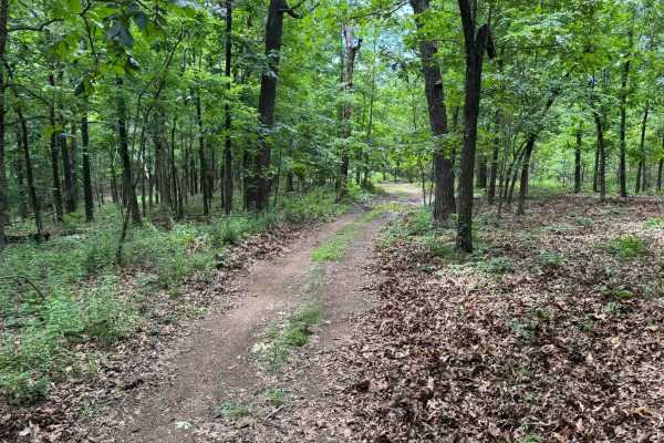
This out-and-back route travels through a mix of dense Ozark timber and open grassy clearings, giving the trail a secluded and remote feel. Much of the route is only one vehicle wide, so extra caution should be used if another vehicle is encountered, as passing opportunities are limited. The trail surface is mostly dirt and small gravel with a few shallow washout areas and light erosion from runoff, but nothing overly technical in dry conditions. Tall hardwoods and pines create a shaded canopy through the wooded sections, while the grassy meadows open up to brighter views and signs of old overgrown clearings. Low hanging branches and tight vegetation along the trail may cause light pinstriping or scratches to vehicle paint, especially on wider vehicles.
Difficulty
Easy overall with mild elevation changes, narrow one-vehicle-wide sections, and minor washouts. Low hanging branches may cause light pinstriping on wider vehicles.
History
The roads throughout this region were originally established for logging, mining, homestead access, and fire management long before recreational off-roading became popular. Portions of the surrounding Buffalo National River area contain deep ties to Ozark pioneer history, including old settlements, abandoned homesites, family cemeteries, and former mining operations dating back to the late 1800s and early 1900s. The nearby Rush Historic District was once one of the largest zinc mining communities in Arkansas during the early 20th century. Many of the ridge roads and hollows drivers travel today follow paths historically used by miners, loggers, ranchers, and local residents navigating the rugged Ozark terrain long before modern highways existed.