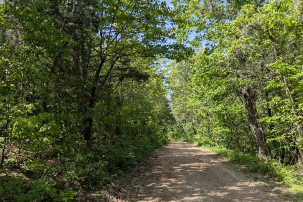
Trail Overview
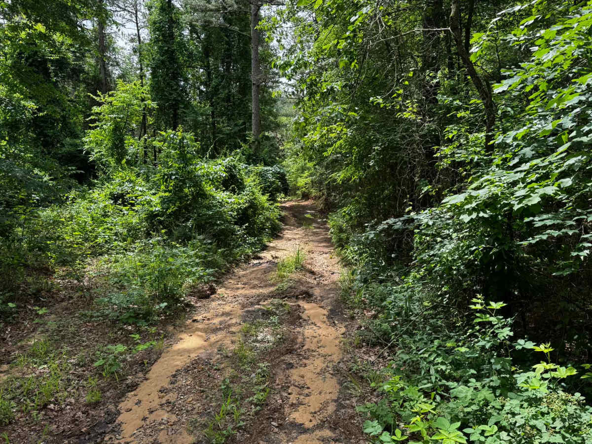
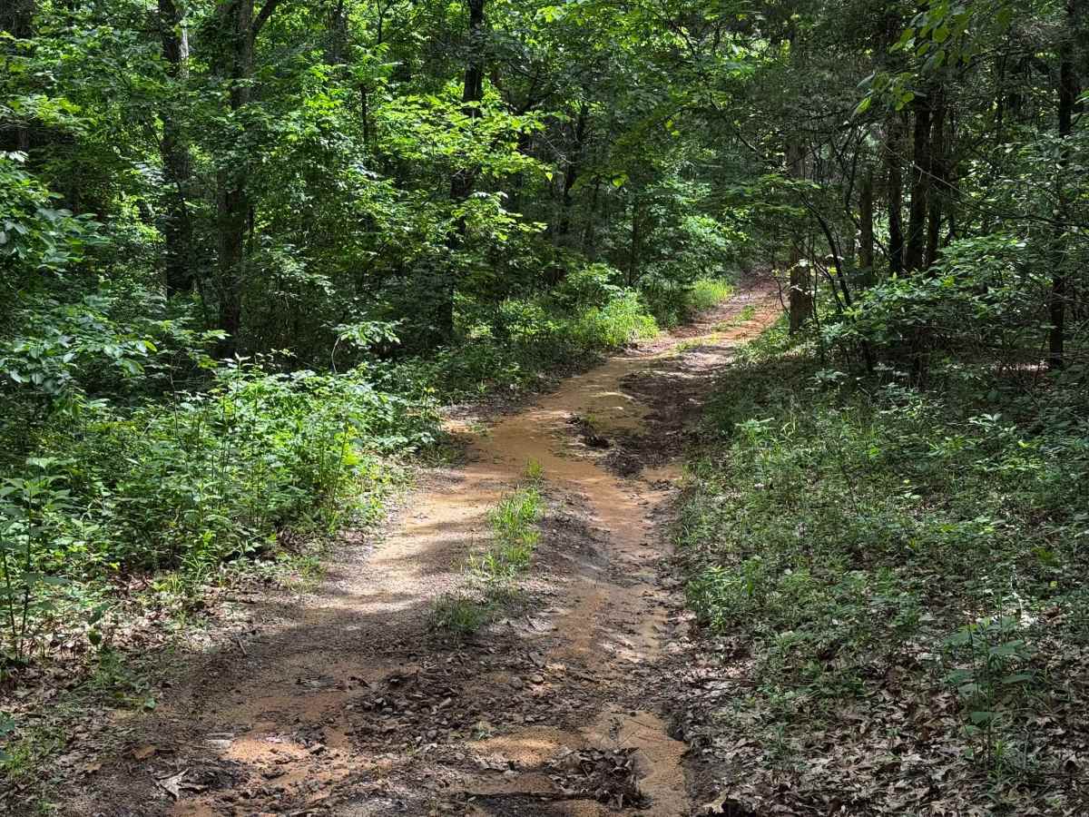
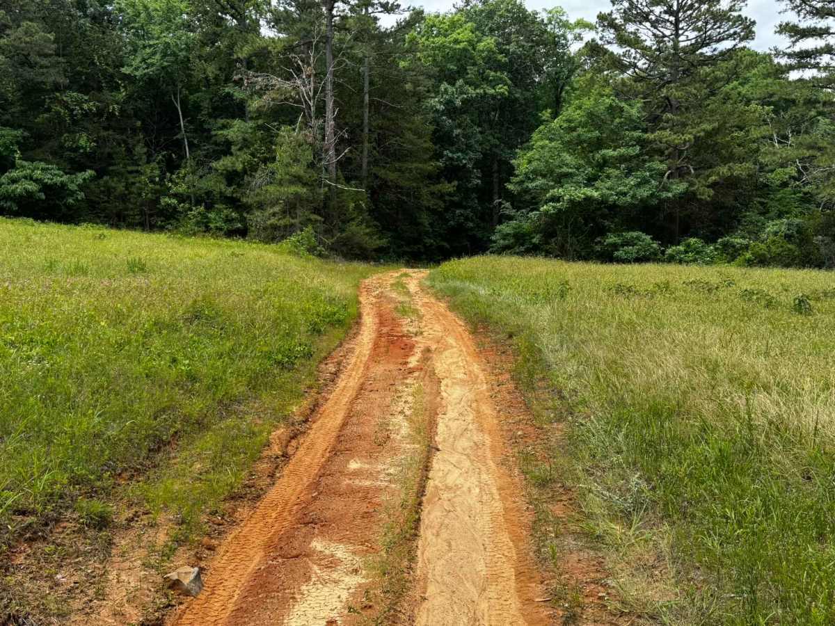
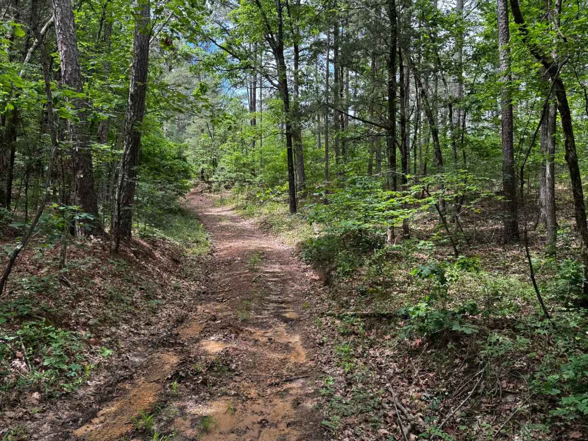
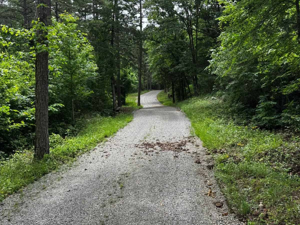
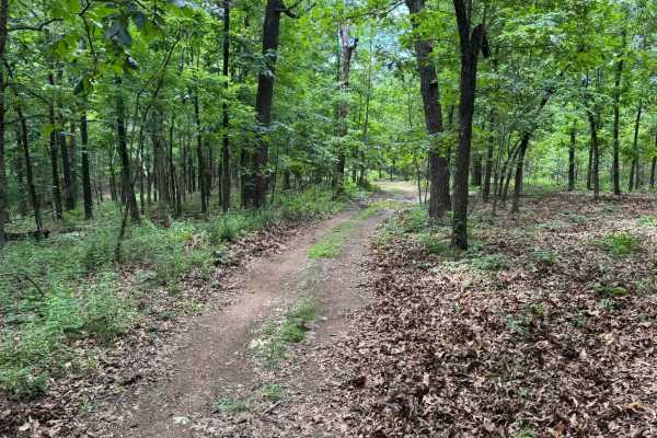
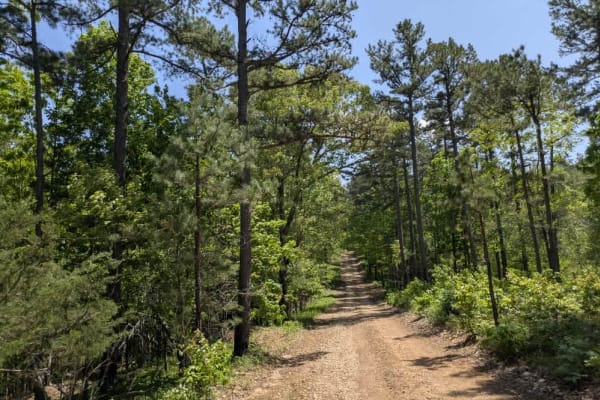
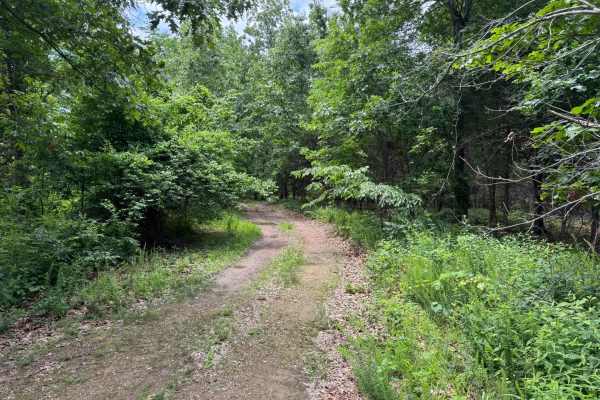
This route begins on a well-maintained gravel road near a local cemetery before transitioning into a narrower and less maintained forest service road deeper into the woods. The trail winds through dense pine and hardwood forest with sections showing exposed dirt, shallow washouts, loose gravel, and muddy areas depending on recent weather. A creek crossing is required to continue along the route, so water depth and current conditions should be checked after rainfall. Along the way, the trail briefly opens into two grassy meadow sections that contrast the otherwise enclosed wooded surroundings. The route eventually ends at a closed and locked gate, which serves as the turnaround point for this out-and-back trail.
Difficulty
Mostly easy gravel and forest roads with some muddy or sandy sections, shallow washouts, and a creek crossing that can become more difficult after rain.
History
The roads throughout this region were originally established for logging, mining, homestead access, and fire management long before recreational off-roading became popular. Portions of the surrounding Buffalo National River area contain deep ties to Ozark pioneer history, including old settlements, abandoned homesites, family cemeteries, and former mining operations dating back to the late 1800s and early 1900s. The nearby Rush Historic District was once one of the largest zinc mining communities in Arkansas during the early 20th century. Many of the ridge roads and hollows drivers travel today follow paths historically used by miners, loggers, ranchers, and local residents navigating the rugged Ozark terrain long before modern highways existed.