Hay Hollow

Total Miles2.4
Technical Rating
3Easy
Best TimeFall
Trail TypeFull-Width Road
Accessible By
Open Trail Map

Trail Overview

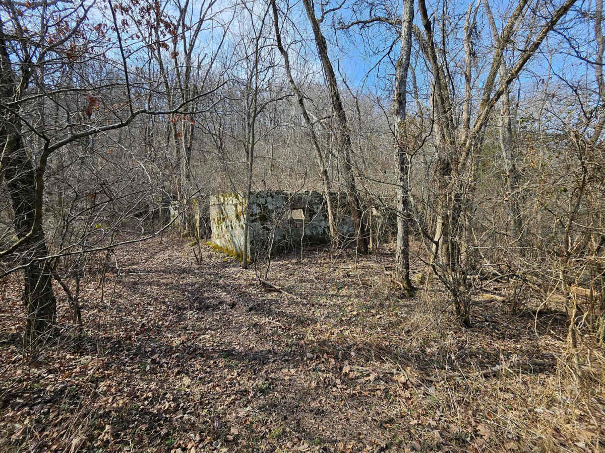
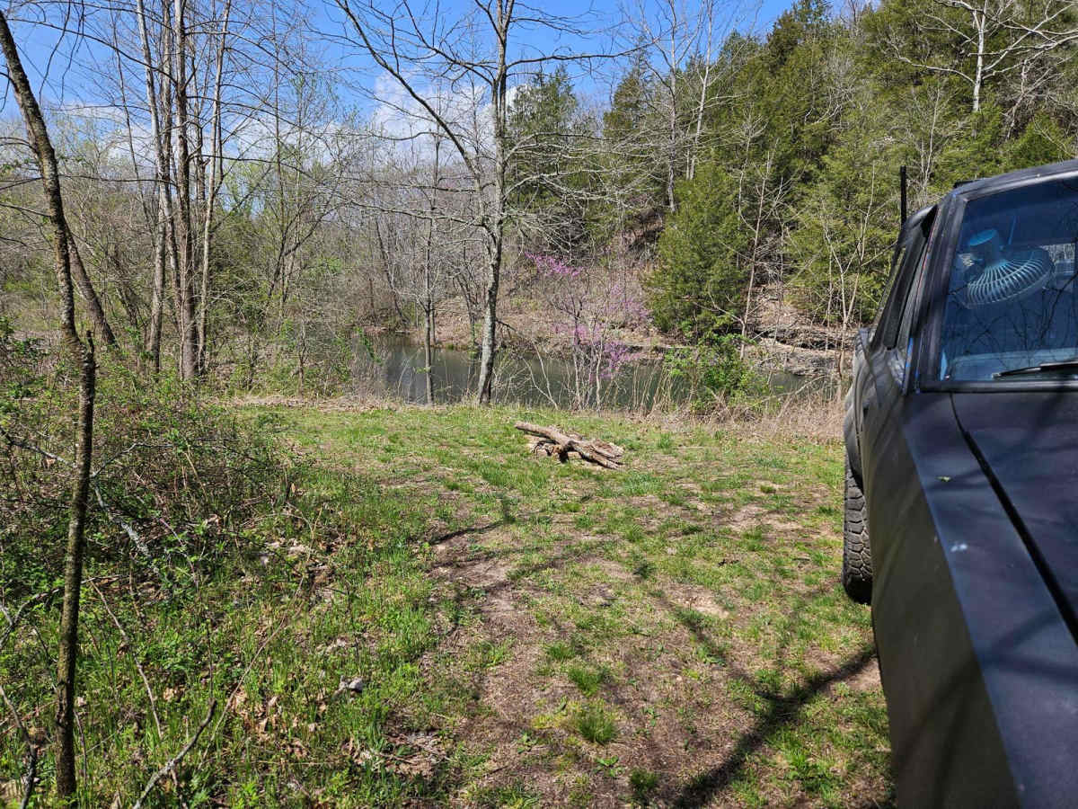
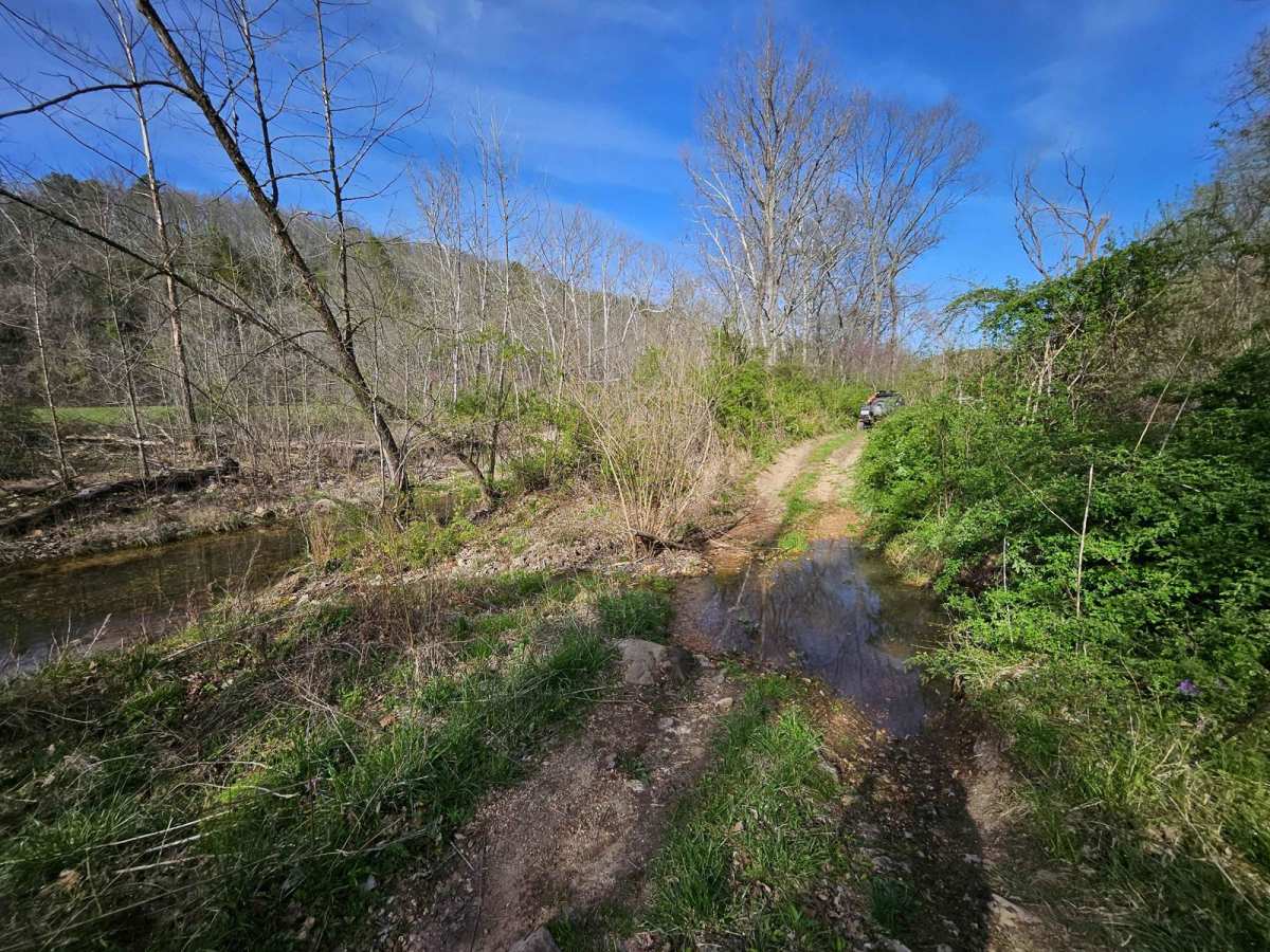
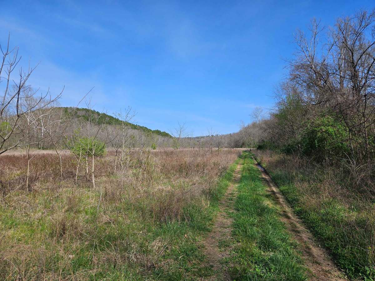
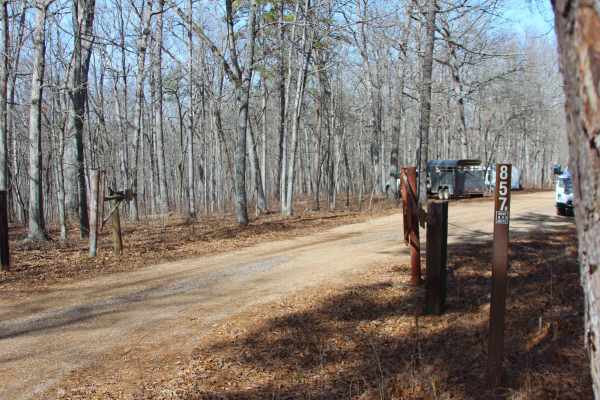
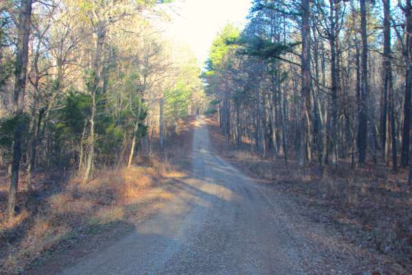
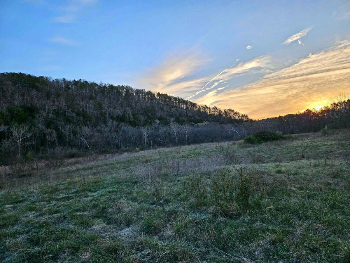
Hay Hollow FS 759 offers complex terrain, amazing views, historic sites, and fantastic camping. If running this trail from east to west, the trail starts with a large circle parking area (picnic table and fire pit). Follow a minor road where the actual trail begins. Immediately, you will cross Mine Hollow Branch Creek. Water levels are usually 6 inches deep. After coming out of the crossing, it's easy to miss Beaver Dam Lake, which is a great camp spot for one vehicle. As you progress down the trail, you'll encounter Tabor Creek, usually dry year-round (Proceed with caution if flowing). Just after Tabor Creek, there's a small, rutted clay hill climb. Once you've conquered this, the road crosses the Ridge Runner hiking path. The trail then opens up into a vast hay field, making navigation a breeze. The trail offers stunning views of large bluffs. Keep following the trail, and you'll stumble upon a unique patch of rocks known as the 'Little Mojave Desert' by the locals. This spot is a great place to camp with multiple vehicles. There is an old settlement nearby, and it is easy to miss the random turn-off, which has a 4-foot hill to climb. This path will lead you to a vast stone building and an active well with flowing water--the highlight of Hay Hollow. The trail continues through the hollow till you cross Tabor Creek again and exit the trail by Twin Bridges.

Photos of Hay Hollow

Difficulty

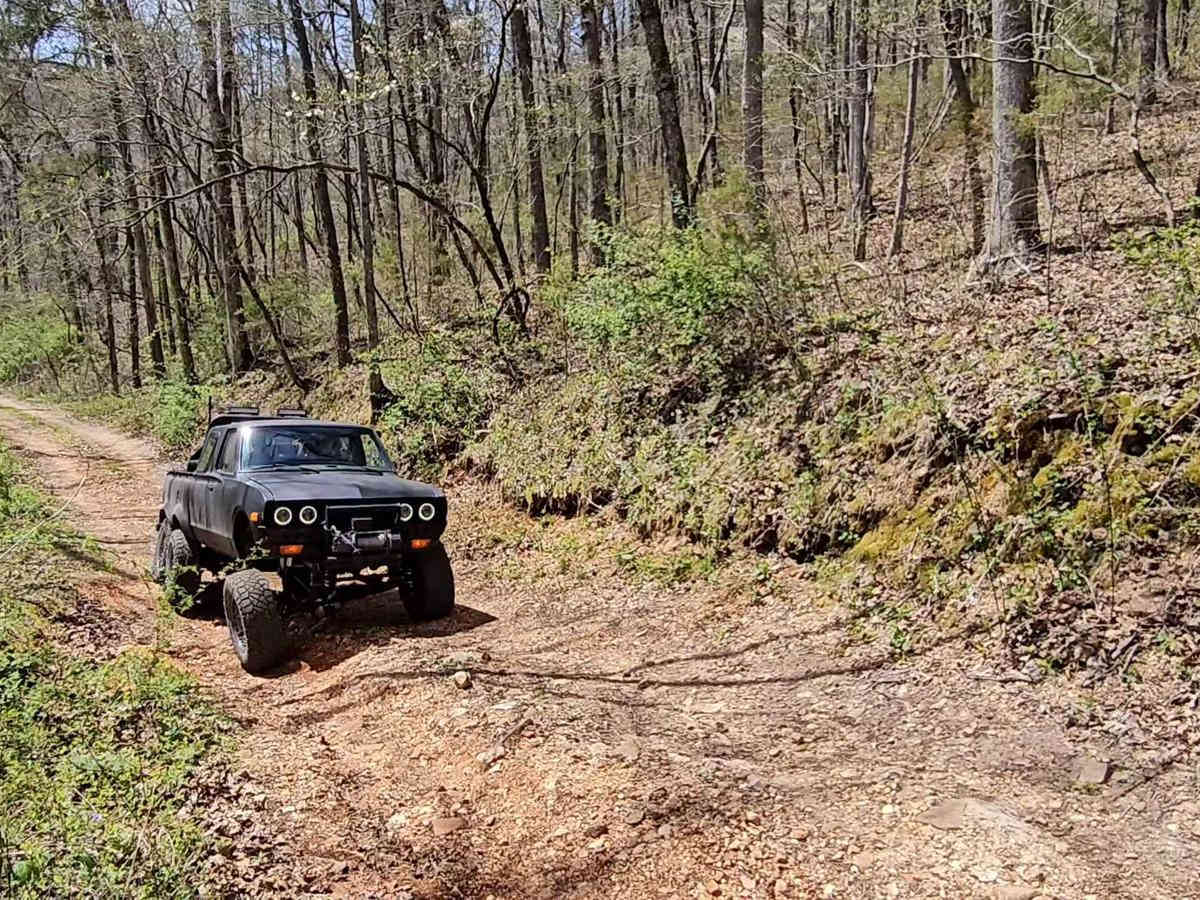
Any vehicle with standard 4WD will complete the trail with ease.

History

Beaver Dam is probably the largest and oldest in Missouri. Many locals have heard about it since before the 1980s. The Rock House is still a mystery to even the Forest Service. Its sheer size leads them to believe that whoever owned it before was quite wealthy and mostly likely heard a large group of cows in the field.

Technical Rating

3

Status Reports

Add Status Report
Jasper Bunton
Oct 12, 2025
Open
Rough/Deteriorated
Came in from FSR769. Trail is very overgrown still but is not obstructed. Access to the rock barn and well aren’t marked but worth going to see. Some tight spots and decent washes in the trail but was passable in a stock xj.
Brendan Patten
Sep 20, 2025
Obstructed
Started on East entrance from Hwy14. Very overgrown but we proceeded. Drug the hitch on both creek crossings on my 91 burb all stock on 31". 3/4 way through there is a split in trail that goes into overgrown meadow. The original trail is blocked by very large fallen tree, had to back up and enter the meadow. Tall weeds but we proceeded to nearly the West end point where anther fallen tree blocked path. Was able to backtrack to a spur that connected back to original trail, and we made it out at the creepy house previously mentioned on another trail report.
James E
Sep 06, 2025
Open
Attempted to take this trail from west to east but when we arrived at the western trailhead it was creepy. The trailhead was overgrown and the house near the trailhead wasn't the kind of house you want to loiter around. Did not attempt the trail.
Raven Collins
Dec 25, 2024
Open
Muddy/WetRough/Deteriorated
Tight in a few spots. Deep ruts due to recent rain.
Merritt Silva
Sep 29, 2024
Open
trail is very overgrown this time of year but still passable. A creek crossing has changed a lot. it's now 18 in deep with some steep ins and outs. making the trail a little harder. If you're coming to look at the old rock house better to wait till winter or spring.
cody ray
Aug 07, 2024
Permanently Closed
Heavily Barricaded with Natural Material
drove a couple hours just to see it's all growed up

Hay Hollow Trail can be accessed by the following ride types:

  • Single Track
  • 50 Inch
  • 60 Inch
  • High Clearance
  • Full Width

Hay Hollow Map

The onX Offroad Difference

onX Offroad combines trail photos, descriptions, difficulty ratings, width restrictions, seasonality, and more in a user-friendly interface. Available on all devices, with offline access and full compatibility with CarPlay and Android Auto. Discover what you're missing today!

Open Trail Map