Trail Overview
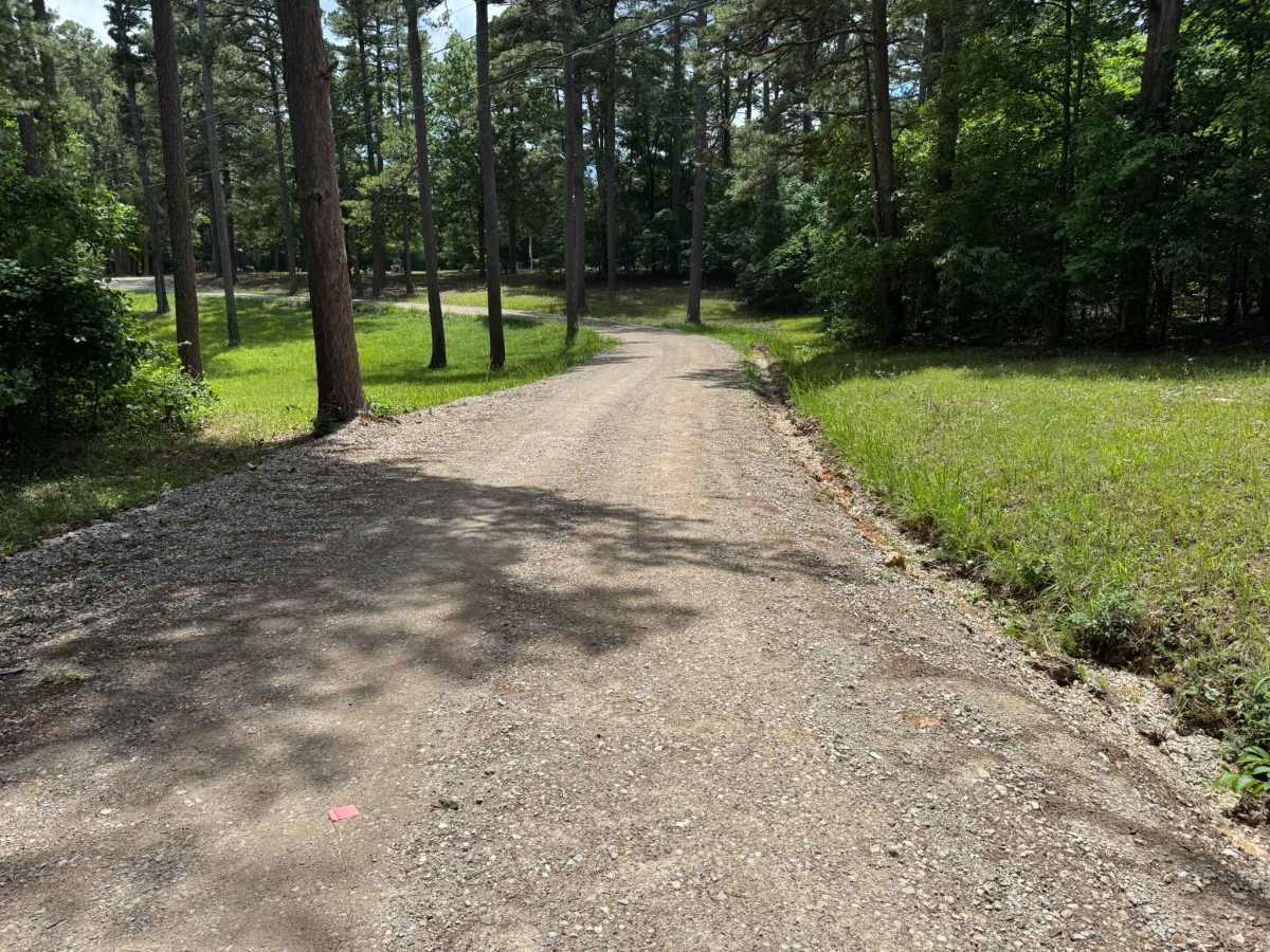
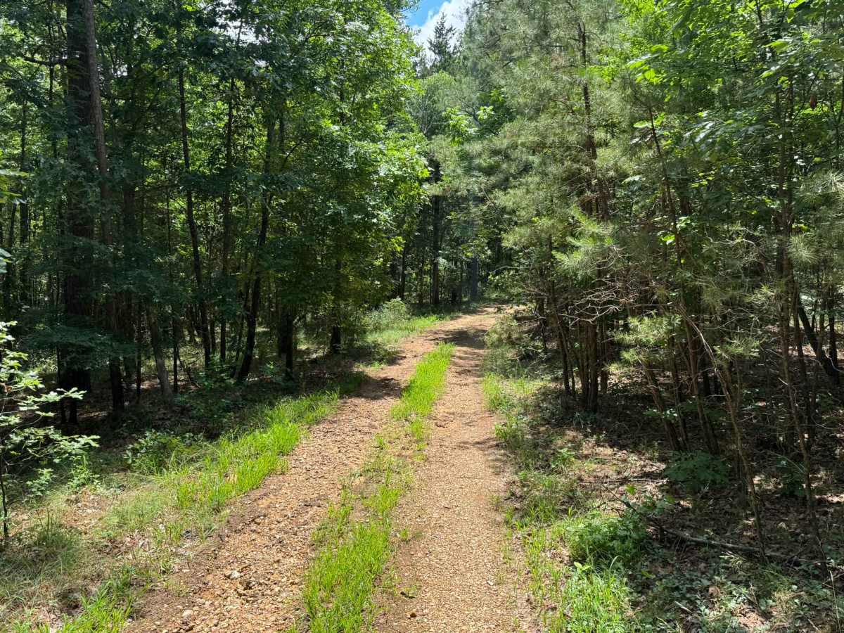
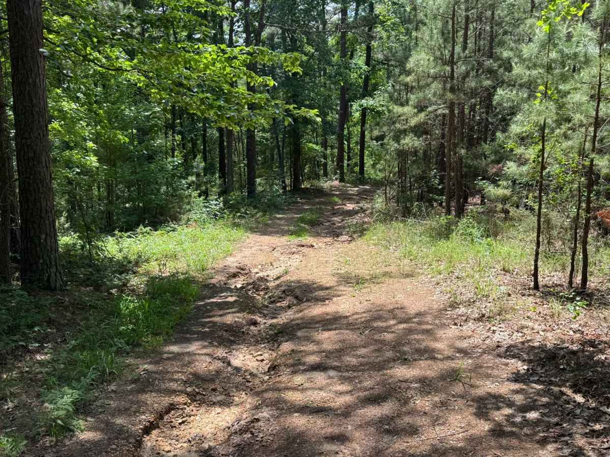
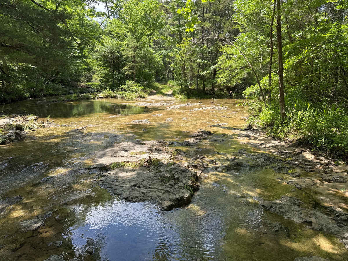
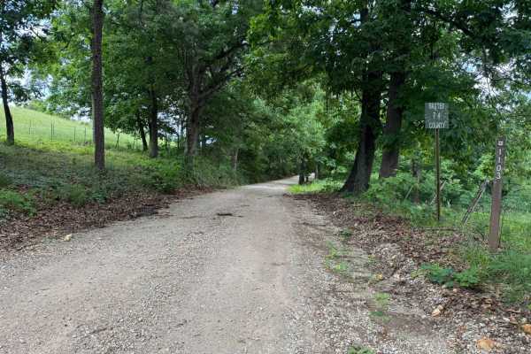
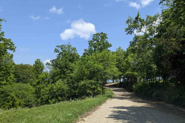
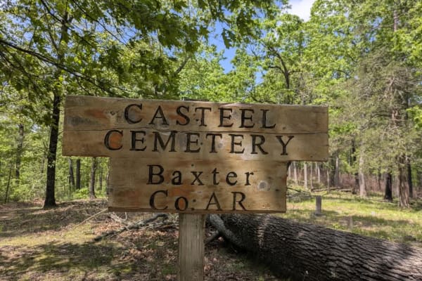
This spur route branches off road # 1105 and travels through dense Ozark forest near a local cemetery. The road begins fairly maintained with smooth gravel and shaded tree cover, but becomes rougher farther in due to water erosion and narrowing sections. Along the route, drivers will encounter a shallow creek crossing flowing over exposed rock and gravel surrounded by thick forest scenery. The creek crossing serves as the turnaround point, as a local landowner has installed a closed gate just beyond it to prevent further travel. Please respect the closure and surrounding private property to help preserve access to the area.
Difficulty
**Trail Difficulty: 3/10 (Easy to Moderate)**
Mostly easy driving with maintained sections, but water erosion, shallow ruts, and the creek crossing add minor challenges.
History
The Buffalo National River area offers much more than off-roading. Popular activities include floating the Buffalo River by kayak or canoe, fishing for smallmouth bass, hiking wilderness trails, wildlife photography, camping, and exploring historic mining and homestead sites throughout the Ozarks. Nearby destinations such as the Rush Historic District, Blanchard Springs Caverns, Whitaker Point, Boxley Valley, and numerous waterfall hikes make the area ideal for multi-day adventure trips. The area is also home to railroad history, including the historic Missouri Pacific Depot located along Old Arkansas Highway 9 near Sylamore and Otipmis. During fall, the hardwood forests produce some of the best autumn scenery in Arkansas, while spring brings waterfalls, wildflowers, and greener route conditions.