Trail Overview
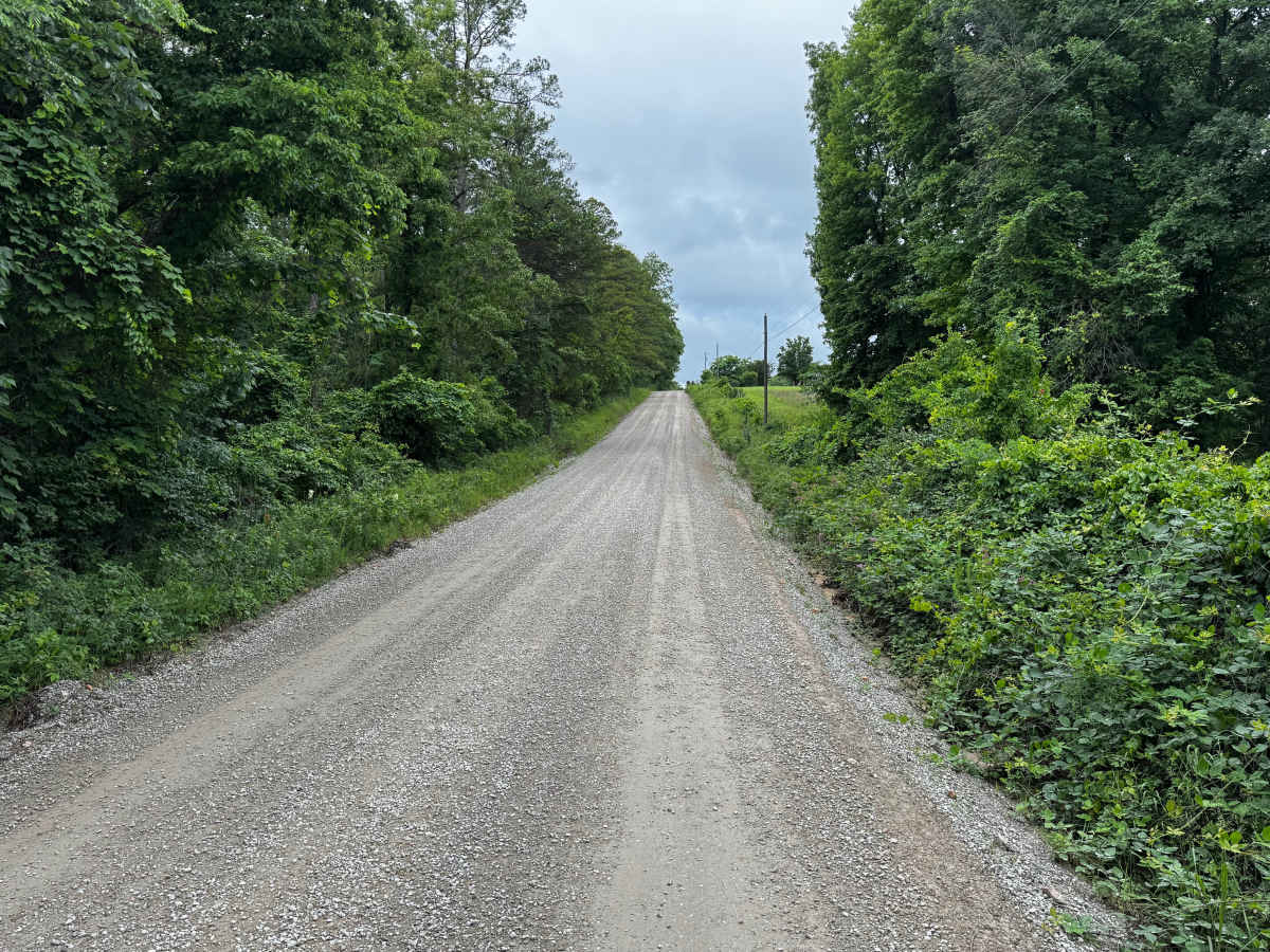
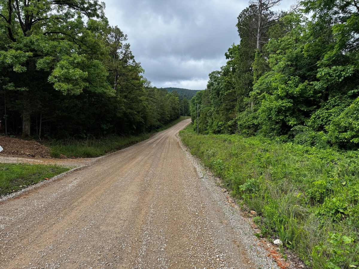
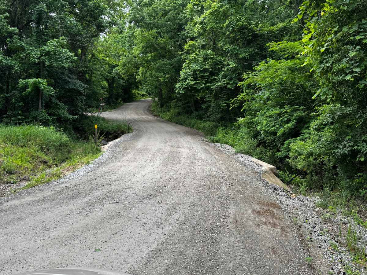
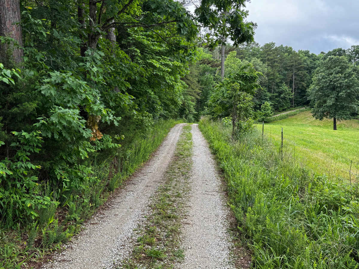
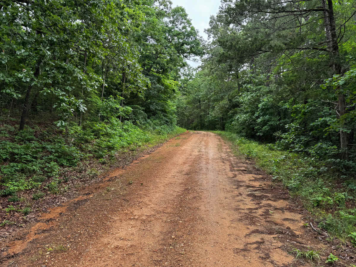
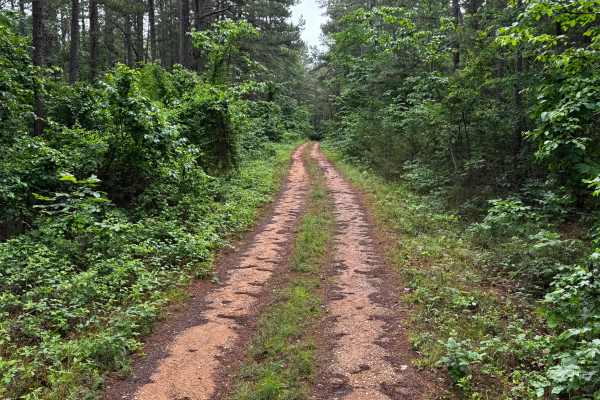
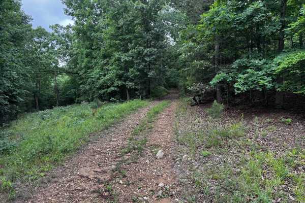
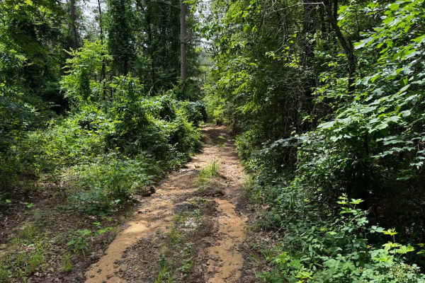
This route begins as a well maintained graded county gravel road winding through dense hardwood forest and rolling Ozark hills. The road is generally wide enough for two vehicles to pass comfortably, with long sightlines, gentle curves, and occasional elevation changes. Along the route, the scenery transitions between thick wooded sections, open grassy fields, and narrow stretches lined with overgrown vegetation. Several areas offer scenic views of the surrounding hills and valleys, especially where the road cuts through more open terrain. As the route continues, it narrows into a less maintained single vehicle wide gravel road with taller grass growing along the centerline. The final quarter mile becomes noticeably rougher due to water erosion, with uneven surfaces, washouts, and deeper ruts that can create a rough ride depending on suspension setup and recent weather conditions.
Difficulty
The majority of the trail is wide, graded, and smooth enough for comfortable travel. The difficulty increases slightly near the end where the road narrows to one vehicle wide and becomes rougher from water erosion. Ruts and uneven terrain in the final quarter mile may create minor clearance and suspension challenges, especially after heavy rain. Mud can increase difficulty during wet conditions.
History
The roads throughout this region were originally established for logging, mining, homestead access, and fire management long before recreational off-roading became popular. Portions of the surrounding Buffalo National River area contain deep ties to Ozark pioneer history, including old settlements, abandoned homesites, family cemeteries, and former mining operations dating back to the late 1800s and early 1900s. The nearby Rush Historic District was once one of the largest zinc mining communities in Arkansas during the early 20th century. Many of the ridge roads and hollows drivers travel today follow paths historically used by miners, loggers, ranchers, and local residents navigating the rugged Ozark terrain long before modern highways existed.