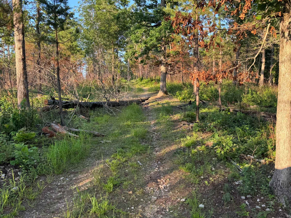
Trail Overview
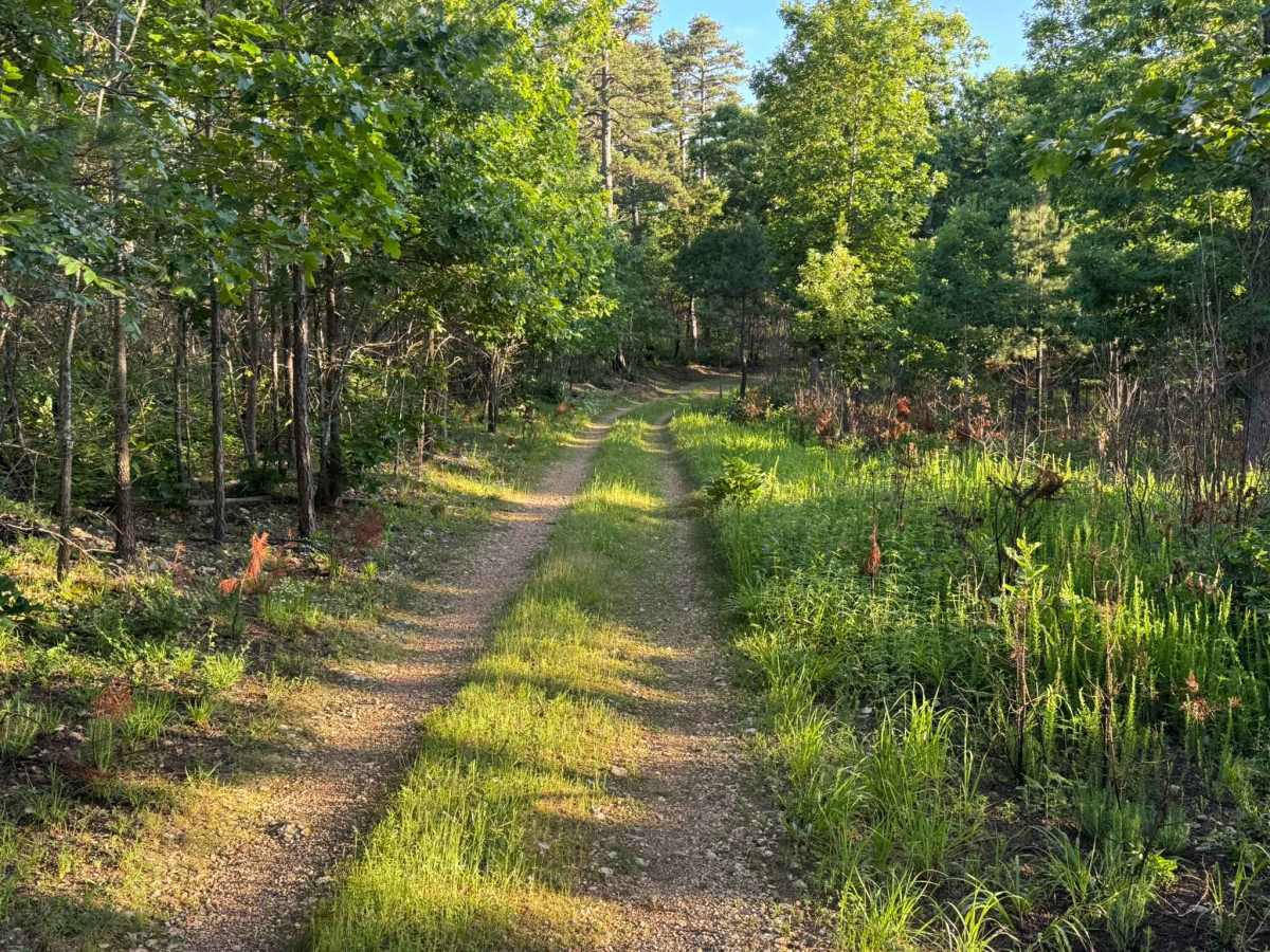
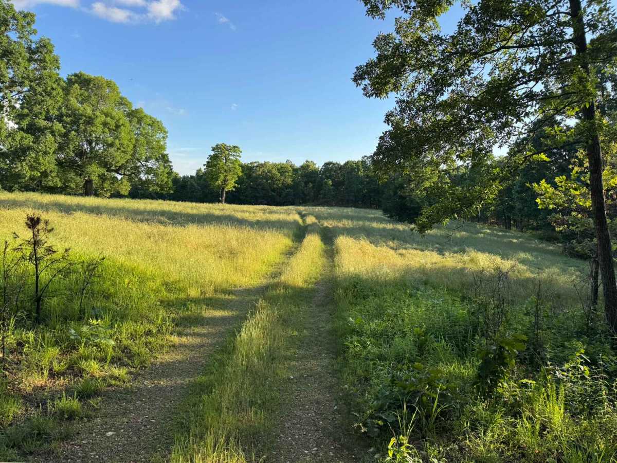
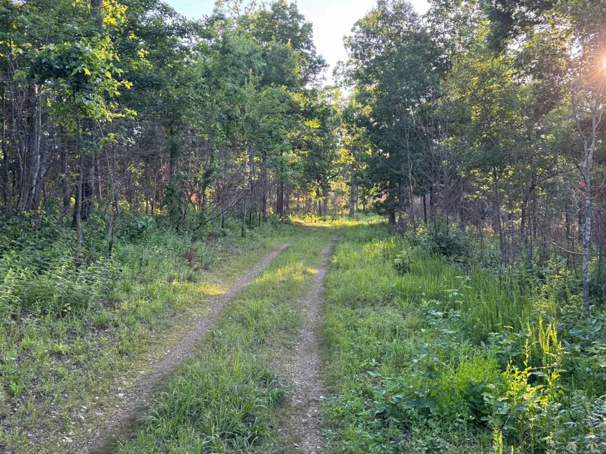
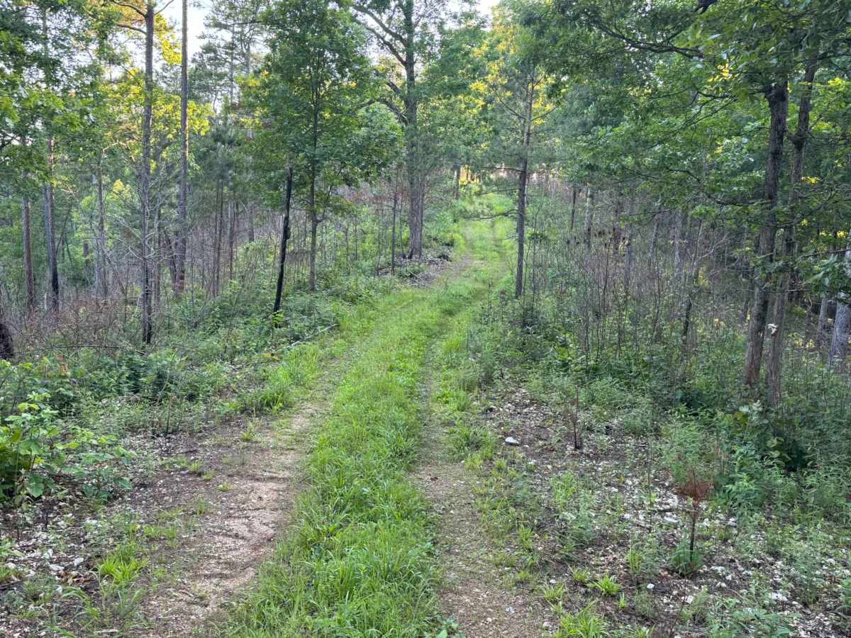
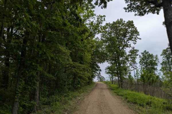
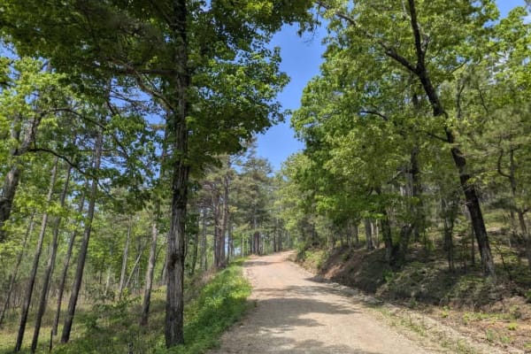
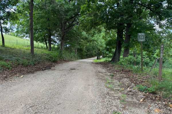
This out and back route winds through a quiet mix of hardwood forest, and open grassy meadows. The trail itself is a narrow two-track with sections of loose gravel, grass growing in the middle, and light overgrowth pushing in from the sides. Along the wooded portions, a couple of fallen trees have previously blocked the route but have since been cut and cleared enough to continue through. Drivers should still pay attention to remaining branches and uneven debris near the trail edges. As the route continues, it opens into a wide grassy meadow filled with tall grass and seasonal purple wildflowers, creating a scenic turnaround point surrounded by trees and rolling terrain.
Difficulty
This route is mostly a smooth and narrow two-track with minor loose rock, light overgrowth, and a few uneven spots. Most stock high clearance 4x4s should have no issues. Drivers should remain alert for previously downed trees, small debris near the trail edges, and tighter sections as the trail approaches the meadow.
History
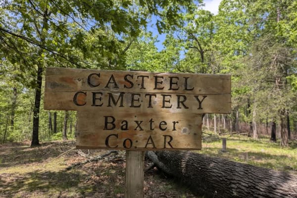
The roads throughout this region were originally established for logging, mining, homestead access, and fire management long before recreational off-roading became popular. Portions of the surrounding Buffalo National River area contain deep ties to Ozark pioneer history, including old settlements, abandoned homesites, family cemeteries, and former mining operations dating back to the late 1800s and early 1900s. The nearby Rush Historic District was once one of the largest zinc mining communities in Arkansas during the early 20th century. Many of the ridge roads and hollows drivers travel today follow paths historically used by miners, loggers, ranchers, and local residents navigating the rugged Ozark terrain long before modern highways existed.