
Beginner Off-Road Trails
Near Coburn, Pennsylvania
Explore All Beginner Trails Near Coburn, Pennsylvania
Beginner Off-Road Trails Near Coburn, Pennsylvania
Discover the best beginner-friendly off-road trails near you. These easier, lower-rated trails are a great place to start — browse trail maps, check difficulty ratings, and find your next adventure.
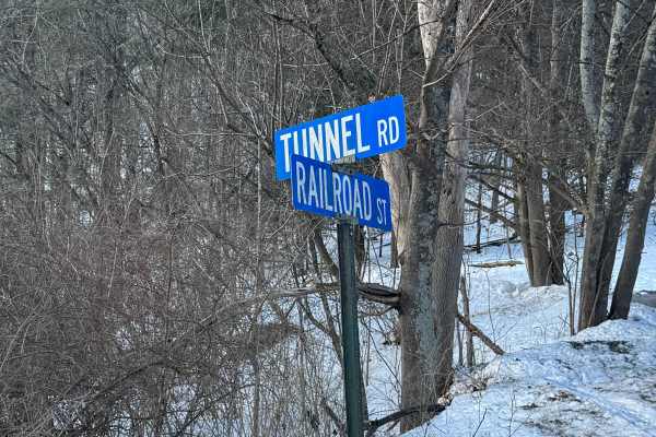
Tunnel Road
Tunnel Road is primarily a graded gravel road. It is an easy ride in the summer months; however, there is no winter maintenance. During times of rain, snow, and ice, the road can become rutted and harder to travel on. Tunnel Road is within Bald Eagle State Forest and runs along Penns Creek. There ar...
Learn more about Tunnel Road
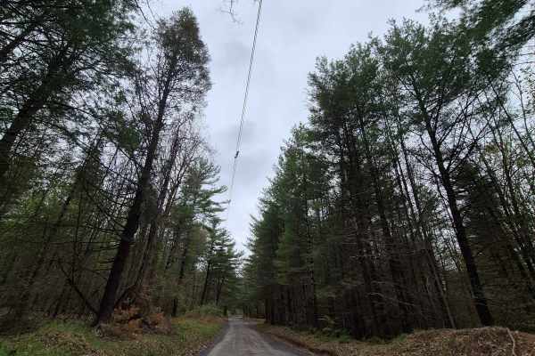
Siglerville-Millheim Pike
Siglerville-Milheim Pike provides access into Bald Eagle State Forest from the west. It crosses Penn's Creek as a paved road and then turns into gravel as you continue up the hill. After passing through Greenbrier Gap, the road continues up the hill, eventually becoming Mountain Church Road. Ther...
Learn more about Siglerville-Millheim Pike
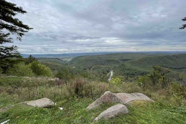
Poe Paddy Dr
At just under 5 miles, Poe Paddy Drive passes two beautiful vistas on its way from Pine Swamp Road to Poe Paddy State Park. This road can be broken into two sections as a passenger car can be driven most of the way including to the vistas. Once you pass the second vista, approximately 3.5 mi from Pi...
Learn more about Poe Paddy Dr
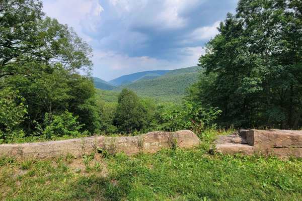
Pine Swamp
The Pine Swamp Trail runs East to West through Bald Eagle State Forest in Pennsylvania. This trail makes for a scenic drive that parallels and then drops into Poe Valley State Park. Pine Swamp passes by a couple of hiking trailheads and a pretty vista. There's one motorized campsite along the trail,...
Learn more about Pine Swamp
Mnt Church
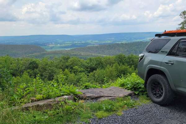
The Mnt Church Trail runs east to west through Bald Eagle State Forest in Pennsylvania. This trail makes for a scenic drive that takes you to the top of Big Poe Mountain. Mnt Church passes by several hiking trailheads and one of the most beautiful vistas in Bald Eagle State Forest. There's one motor...
Learn more about Mnt Church
Havice Valley
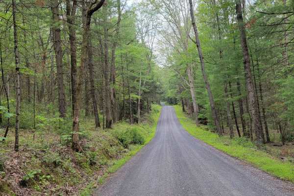
The Havice Valley Trail runs east to west through Bald Eagle State Forest in Pennsylvania. This trail makes for a scenic drive that begins at Poe Valley State Park and ends at the border of the forest. Poe Valley SP offers a campground, access to Penns Creek, hiking trails, and bathrooms right at th...
Learn more about Havice Valley
Lingle Valley Road
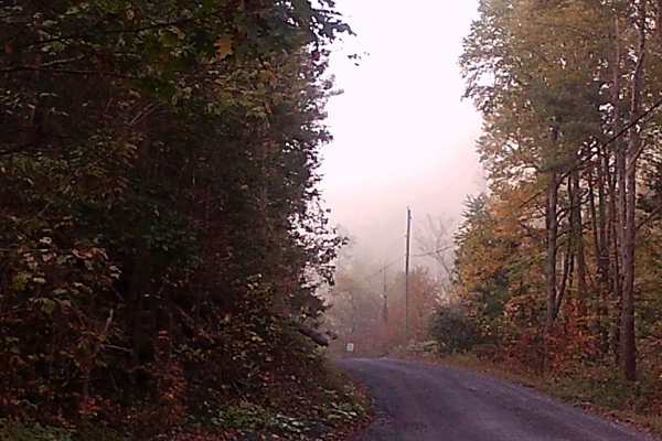
This graded gravel road runs through Bald Eagle State Forest, featuring gentle hills and the winding layout typical of forest roads. It is a point-to-point route with several camps and residences along the way. Wildlife such as wild turkeys are commonly seen in the area. The road is easily accessibl...
Learn more about Lingle Valley Road
Siglerville Millheim Pike
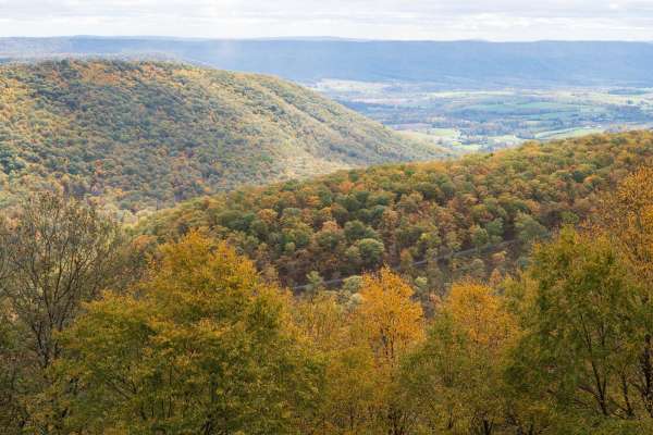
Siglerville Millheim Pike is a well-maintained gravel trail through Bald Eagle State Forest. The trail crosses multiple mountain peaks and valleys providing access to multiple spur trails and a vista of the surrounding mountains and communities. The trail traverses a forest of deciduous trees, pine,...
Learn more about Siglerville Millheim Pike

Lick Hollow Road
This trail has a dead end due to private property. It is located within Bald Eagle State Forest and is more of a dirt road. There is one hiking trail called Lick Hollow Trail. This trail has subtle, easy hill climbs, and was a rough ride due to small rocks and little washouts. This trail will be dif...
Learn more about Lick Hollow Road
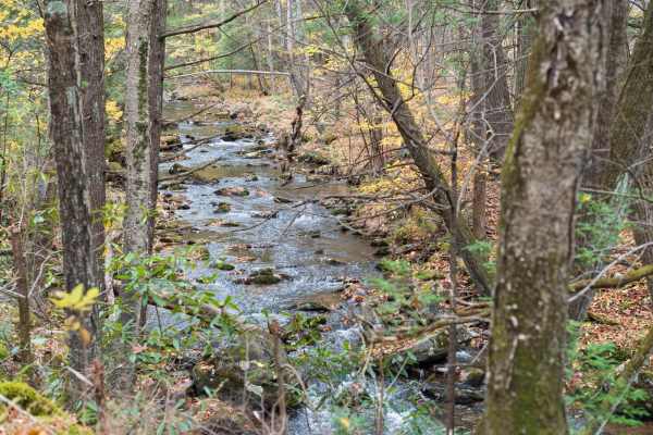
Poe Valley Road
Poe Valley Road is a well-maintained gravel trail through Bald Eagle State Forest. The trail starts in Poe Valley State Park and follows the Big Poe Creek before reaching Poe Paddy State Park. The trail traverses a forest of deciduous trees, pine, mountain laurel, and rhododendron. Only highway-lega...
Learn more about Poe Valley Road
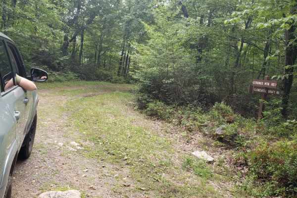
Strongs Mountain Trail
Strongs Mountain Trail offers an approachable and scenic four-wheel-drive experience through Pennsylvania's Bald Eagle State Forest, perfect for stock SUVs and novice offroaders seeking panoramic mountain vistas. Spanning approximately 4.1 miles, this unmaintained but relatively tame dirt corridor s...
Learn more about Strongs Mountain Trail
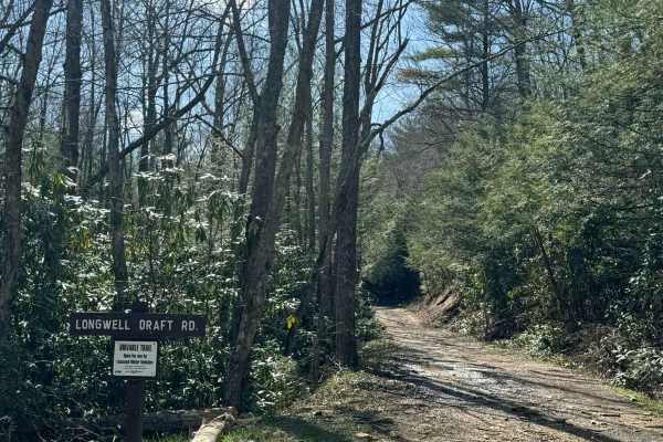
Longwell Draft Road
Longwell Draft Road is a very straight but pleasant drivable trail in Bald Eagle State Forest. From end to end, there is approximately 850 feet of elevation change and it is gradual along the entire length. The road is comprised of mostly dirt with the occasional rocks and frequent mud puddles. Long...
Learn more about Longwell Draft Road
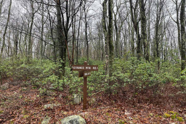
Strongs Mountain Trail (Mid Portion)
This is the mid-section for Strongs Mountain Jeep Trail. The Trail starts at the northern terminus with Havice Valley Road. At the junction with Flat Hollow Trail, you will turn left and move uphill through this portion. It's a rocky ascent with plenty of lines to take. The key is to take it slow, a...
Learn more about Strongs Mountain Trail (Mid Portion)

Old Mingle road
This trail has a dead end due to private property. It is within the Bald Eagle State Forest and is a graded gravel road. Off the trail is a picnic area with a fire pit. There is a mid-state trail for hiking. This trail may become difficult to drive in the winter months due to no winter maintenance.
Learn more about Old Mingle road
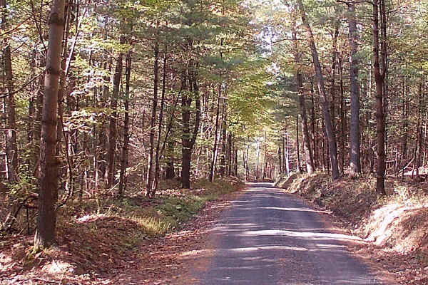
Decker Run Road
This trail is a graded gravel road within the Bald Eagle State Forest. It is a point-to-point type of trail. It is a typical winding state forest road. Easily accessible during the summer months by car. The trail has some homes and camps off the trail. There is a section of tall pines, amongst oak t...
Learn more about Decker Run Road
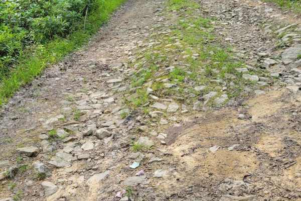
Flat Hollow
The Flat Hollow Trail runs East to West through Bald Eagle State Forest in Pennsylvania. This trail makes for a very fun quick trip that's worth getting excited over. Flat Hollow doesn't offer any amenities other than the fact it's unmaintained. Cell service is spotty so be sure to download offline ...
Learn more about Flat Hollow
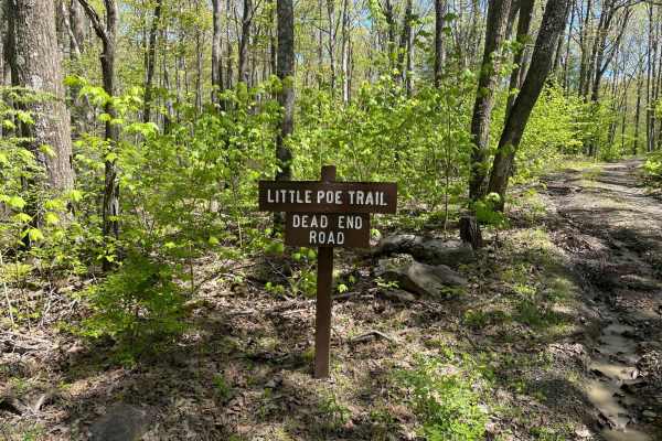
Little Poe Trail
Little Poe Trail is a fun little double-track trail that leads back to two different hunting club cabins. Expect lots of water during the spring, and there are quite a few mudholes to navigate through. Easy for a full-size truck, as the famous Pennsylvania foliage doesn't grow close enough to give p...
Learn more about Little Poe Trail
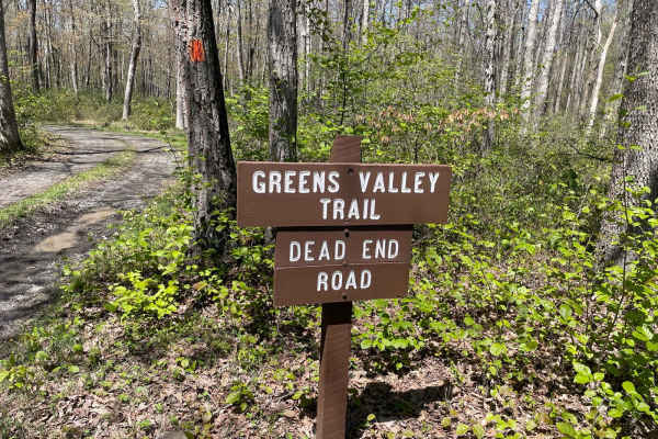
Green's Valley Trail
Greens Valley Trail is an easy double track that leads out to a private property cabin. There is room to turn around at the end, but it's a bit difficult. The Green Valley hiking trail continues at the end of the drivable portion, and the little parking area is the place to turn around. Expect some ...
Learn more about Green's Valley Trail
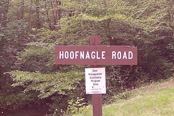
Hoofnagle Road
This trail is an in-and-out graded Gravel Road within Bald Eagle State Forest. There are a few areas to camp and picnic. Two Hiking trails off this trail are Boney Hollow Trail and Penns Creek Valley Trail. There is a drivable trail called Longwell draft Road that is interesting, with more dirt and ...
Learn more about Hoofnagle Road
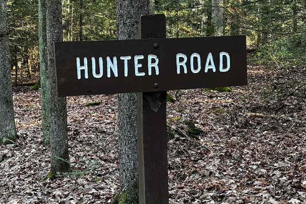
Hunter Road
Hunter Road is a pretty well-maintained gravel road through Bald Eagle State Forest. There are plenty of places to pull off and enjoy the scenery. All along the trail, there are hunting cabins so it could get more traffic during hunting season. Towards the end of the trail, there is a vista with a r...
Learn more about Hunter Road
Beginner ATV trails near Coburn, Pennsylvania
Explore ATV-friendly trails near you. These trails are accessible for vehicles up to 50 inches wide, perfect for ATVs and smaller off-road machines.
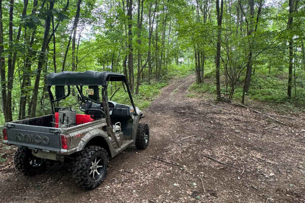
Trail 76
Trail 76 is a dead-end, ungraded, narrow dirt trail. It is part of the PA DCNR Bloody Skillet ATV Trail System located within Sproul State Forest. The trail system is open for use year-round except for being closed for two months during the spring fire season and in the fall for hunting season. Plea...
Learn more about Trail 76
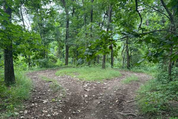
Trail 77
Trail 77 is an ungraded, narrow dirt trail. It is part of the PA DCNR Bloody Skillet ATV Trail System located within Sproul State Forest. The trail system is open for use year-round except for being closed for two months during the spring fire season and in the fall for hunting season. Please call t...
Learn more about Trail 77
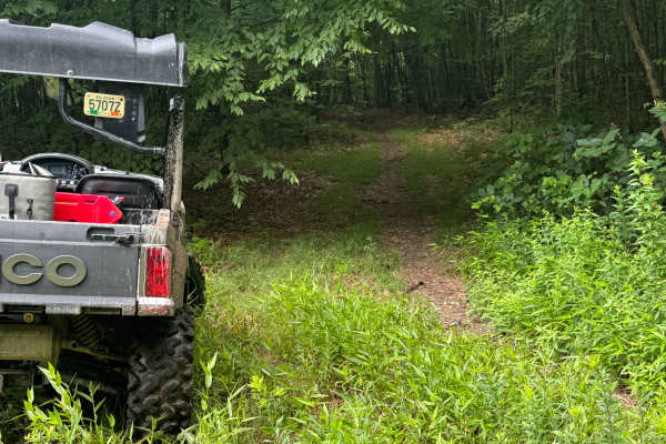
Trail 80
Trail 80 is an ungraded, narrow dirt trail. It is part of the PA DCNR Bloody Skillet ATV Trail System located within Sproul State Forest. The trail system is open for use year-round except for being closed for two months during the spring fire season and in the fall for hunting season. Please call t...
Learn more about Trail 80
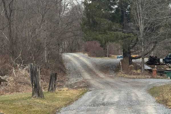
Kato Orviston Road
Kato Orviston Road is primarily a graded gravel road with some short dirt sections. It is an easy ride in the summer months; however, there is no winter maintenance. During times of rain, snow, and ice, the road will become rutted and harder to travel on. Kato Orviston Road is within Sproul State Fo...
Learn more about Kato Orviston Road
Beginner UTV/side-by-side trails near Coburn, Pennsylvania
Find UTV and side-by-side trails near you. These trails accommodate vehicles up to 60 inches wide, ideal for UTVs, side-by-sides, and wider off-road rigs.
Trail 76
Trail 76 is a dead-end, ungraded, narrow dirt trail. It is part of the PA DCNR Bloody Skillet ATV Trail System located within Sproul State Forest. The trail system is open for use year-round except for being closed for two months during the spring fire season and in the fall for hunting season. Plea...
Learn more about Trail 76
Trail 77
Trail 77 is an ungraded, narrow dirt trail. It is part of the PA DCNR Bloody Skillet ATV Trail System located within Sproul State Forest. The trail system is open for use year-round except for being closed for two months during the spring fire season and in the fall for hunting season. Please call t...
Learn more about Trail 77
Trail 80
Trail 80 is an ungraded, narrow dirt trail. It is part of the PA DCNR Bloody Skillet ATV Trail System located within Sproul State Forest. The trail system is open for use year-round except for being closed for two months during the spring fire season and in the fall for hunting season. Please call t...
Learn more about Trail 80
Kato Orviston Road
Kato Orviston Road is primarily a graded gravel road with some short dirt sections. It is an easy ride in the summer months; however, there is no winter maintenance. During times of rain, snow, and ice, the road will become rutted and harder to travel on. Kato Orviston Road is within Sproul State Fo...
Learn more about Kato Orviston Road
The onX Offroad Difference
onX Offroad combines trail photos, descriptions, difficulty ratings, width restrictions, seasonality, and more in a user-friendly interface. Available on all devices, with offline access and full compatibility with CarPlay and Android Auto. Discover what you're missing today!
Open Trail Map