Trail Overview
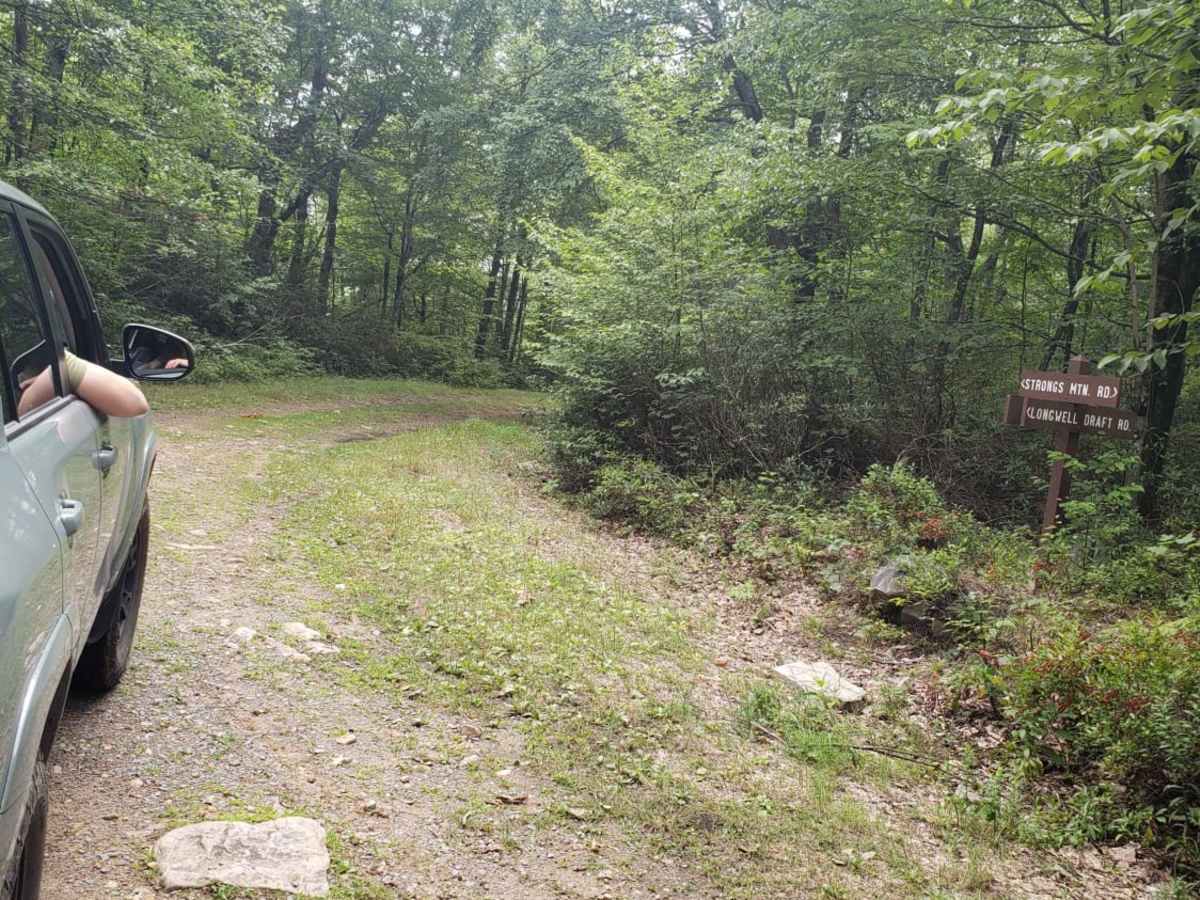
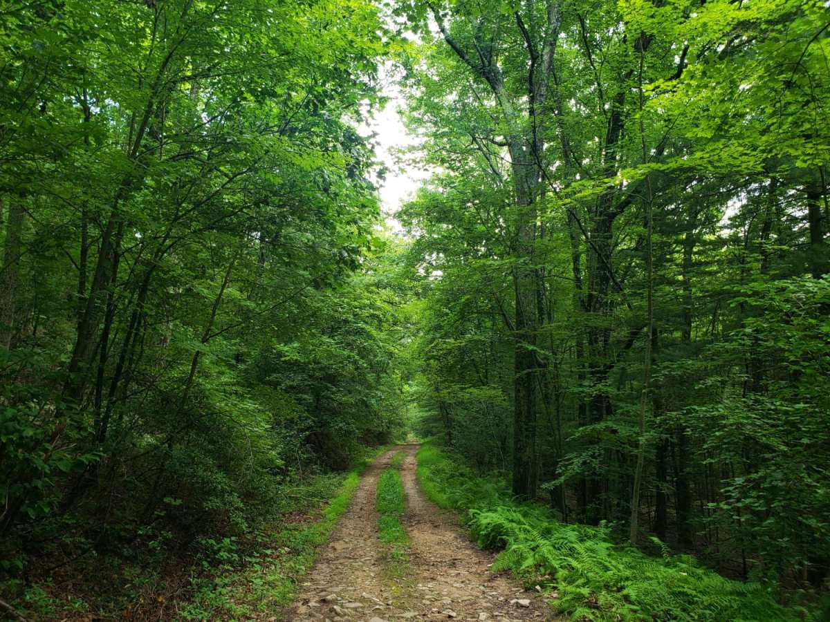
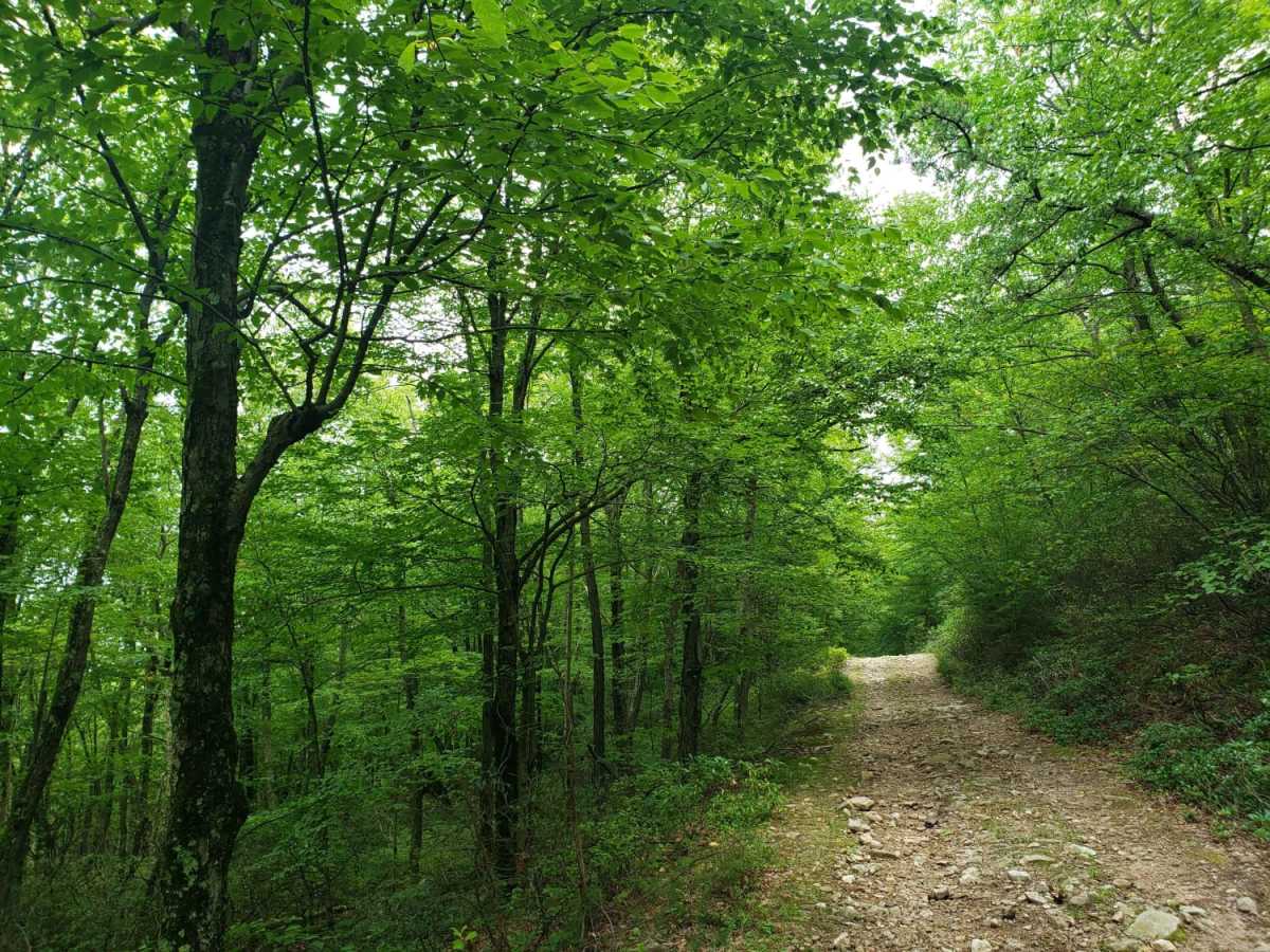
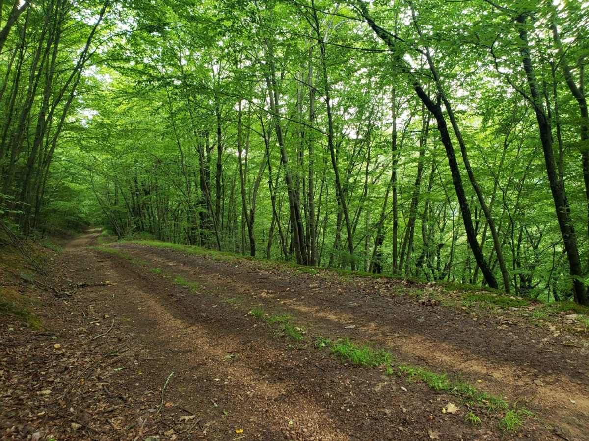
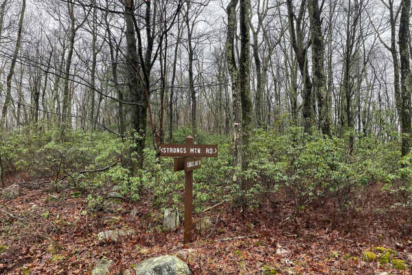
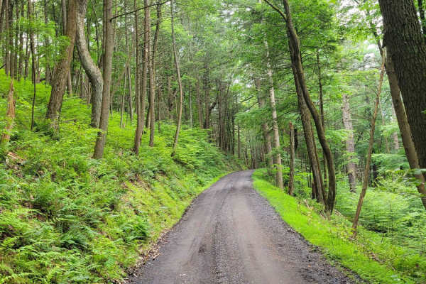
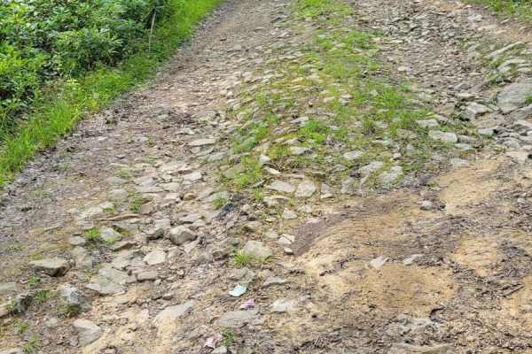
Strongs Mountain Trail offers an approachable and scenic four-wheel-drive experience through Pennsylvania's Bald Eagle State Forest, perfect for stock SUVs and novice offroaders seeking panoramic mountain vistas. Spanning approximately 4.1 miles, this unmaintained but relatively tame dirt corridor snakes along the ridge, starting at an elevation of 2,047 feet near Green Gap and descending to 1,362 feet near Weikert Run. Along the way, drivers are treated to dense forest canopies and beautiful overlooks of the surrounding ridges, including Treaster Mountain and Pitchpine Ridge. Though the trail is generally smooth, it features occasional rocky patches and minor washouts that require basic high-clearance four-wheel-drive capability but pose no serious technical obstacles.
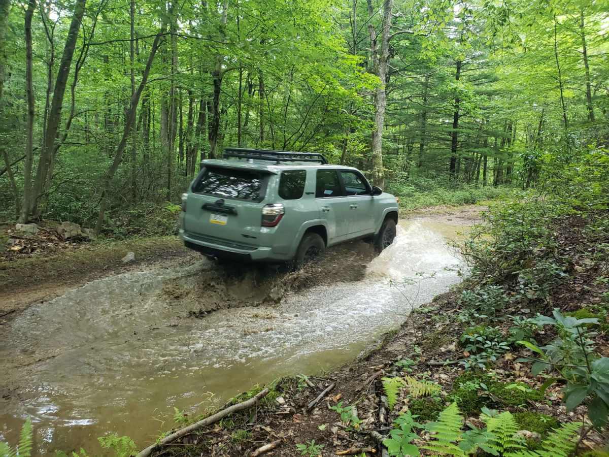
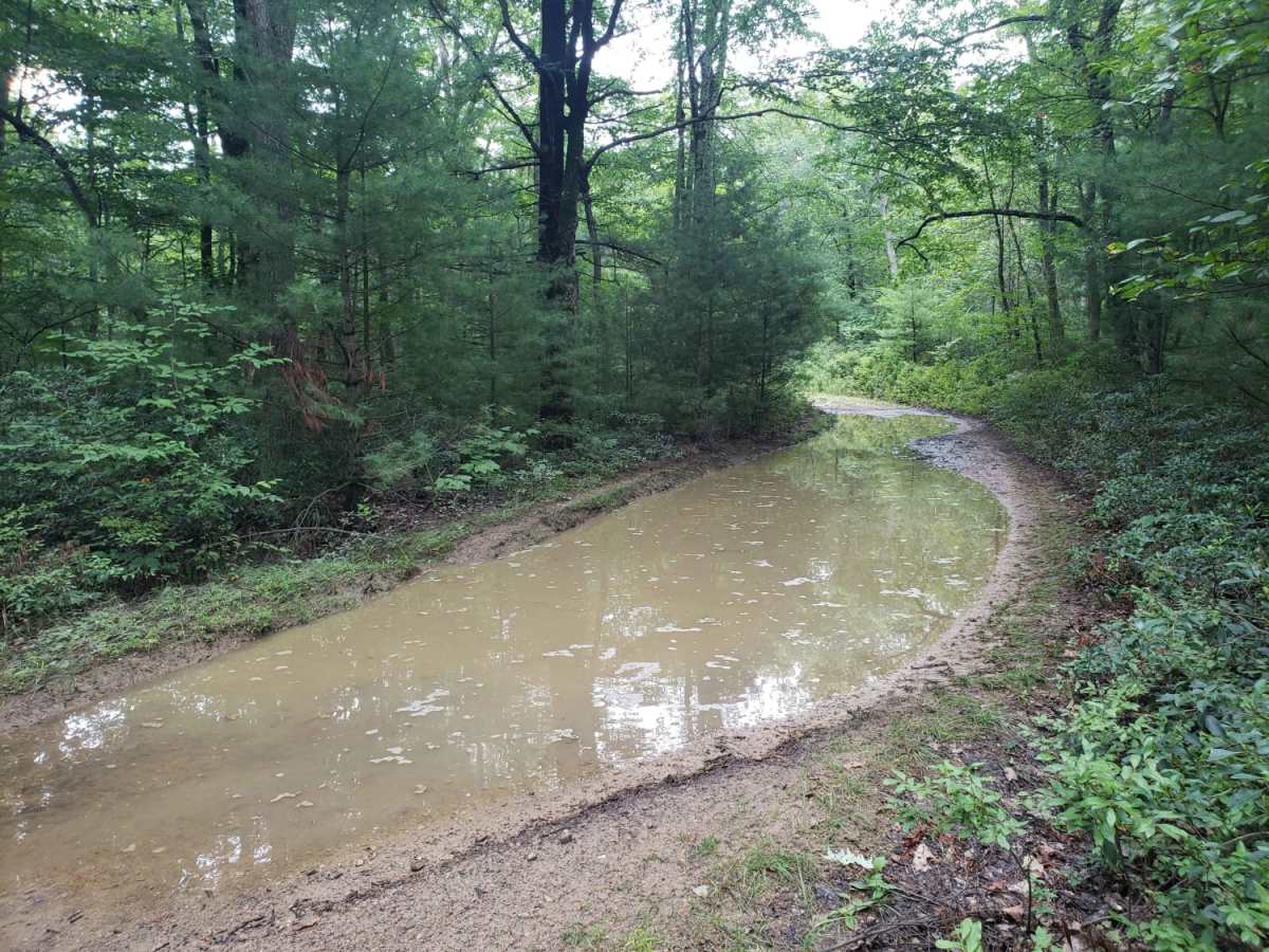
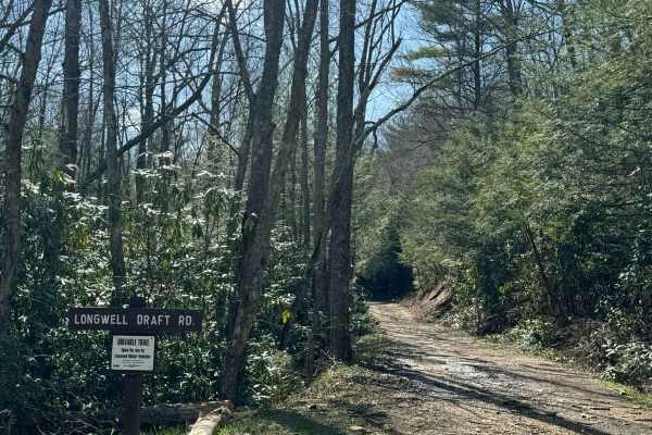
During the wetter seasons or after heavy rainfall, the route develops numerous large, mud-less puddles with firm gravel bottoms that are highly entertaining to splash through. Offroaders should remain alert for fallen trees, as this unmaintained mountain pass has a high potential for blowdowns, especially after strong storms. The trail accommodates a variety of vehicles, including high-clearance stock 4x4s, SxSs, and dual-sport motorcycles, making it a versatile connection between Treaster Valley Road and Longwell Draft Road. Winter brings snow and icy conditions, which can significantly increase the difficulty, while spring and autumn offer the most vibrant foliage and comfortable temperatures for a leisurely drive.
Access Description
Located within Bald Eagle State Forest, this road is open to licensed, street-legal vehicles. Non-street-legal SxSs, ATVs, and dirt bikes must be registered and insured, and are only permitted on designated trails within the state forest; check with the Pennsylvania Department of Conservation and Natural Resources (DCNR) for seasonal closures and specific vehicle restrictions.