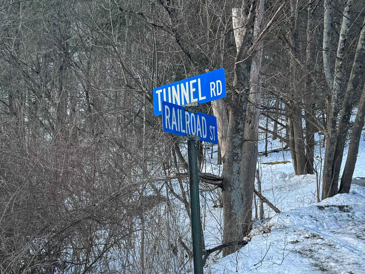
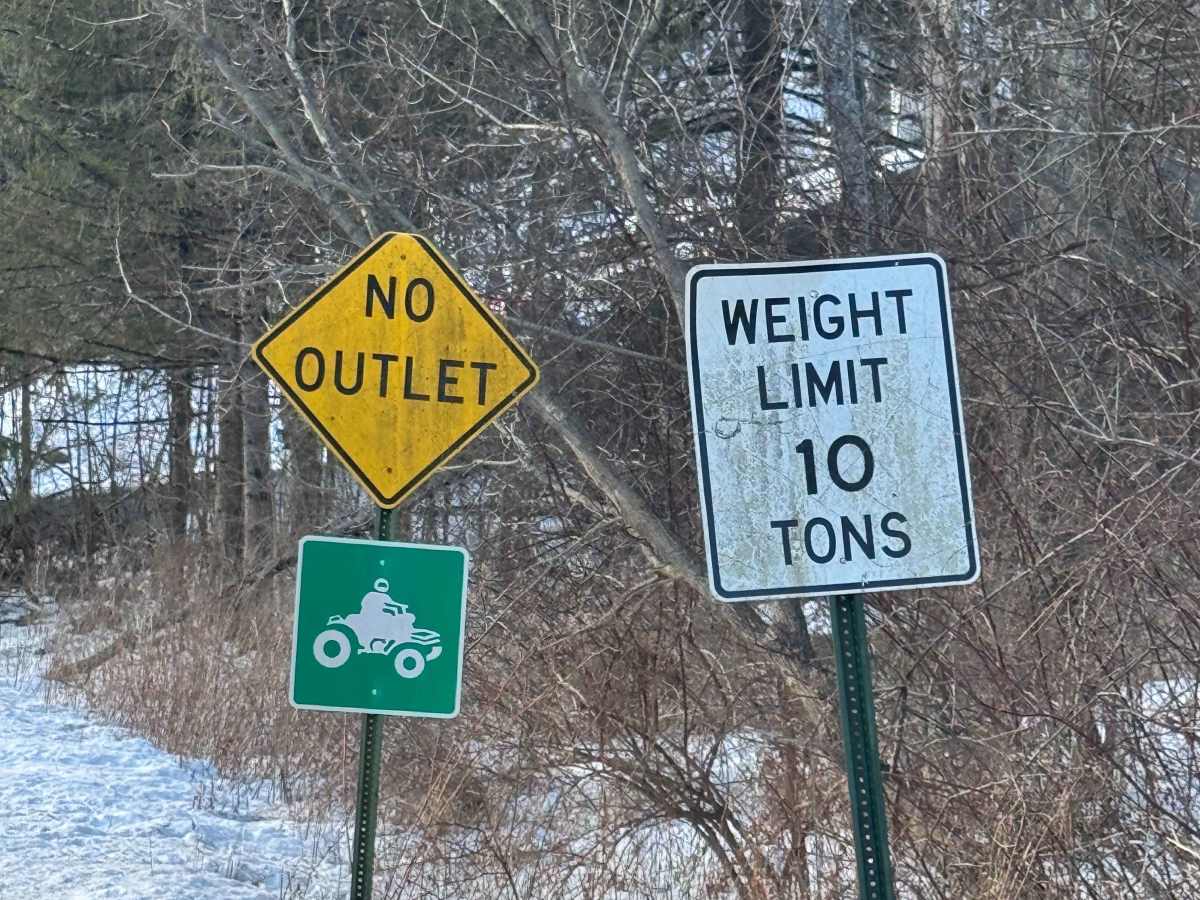
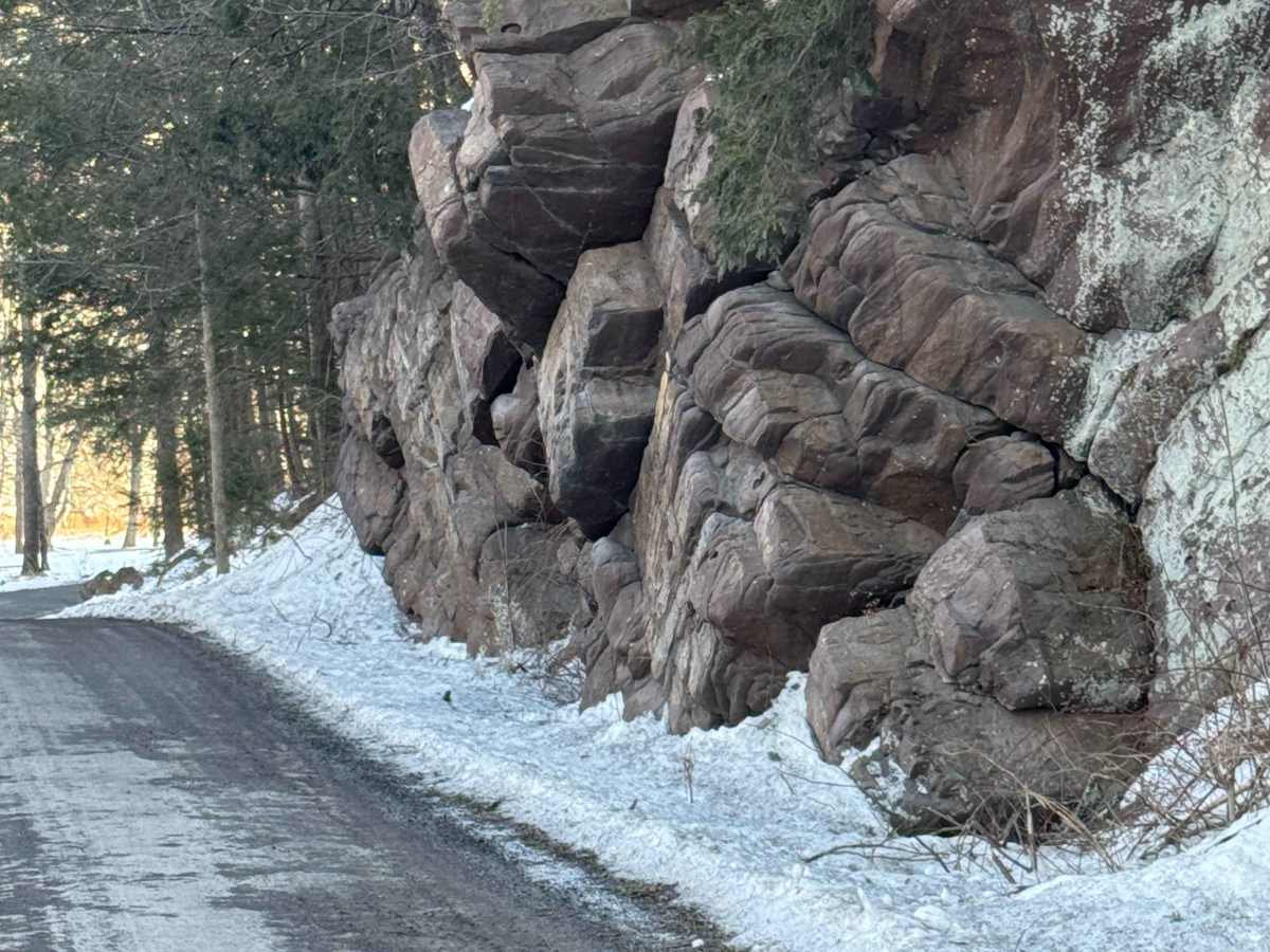
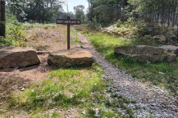
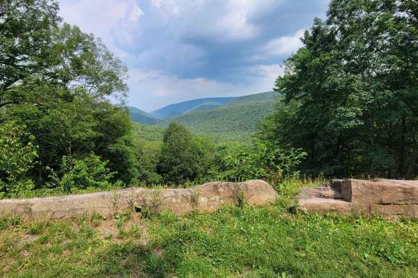
Trail Overview
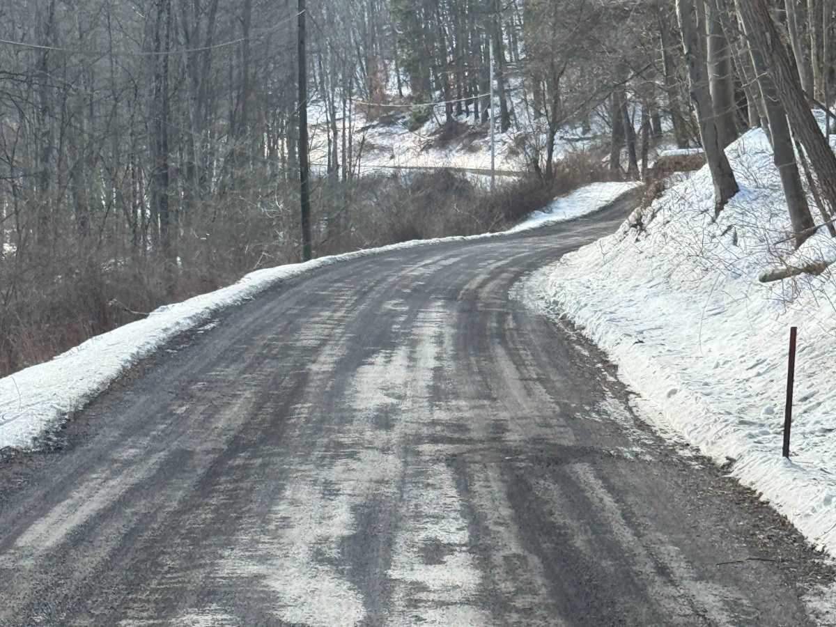
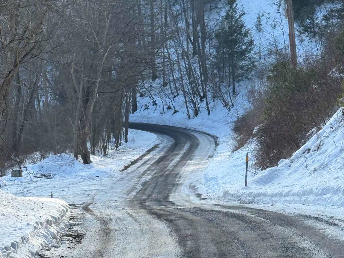
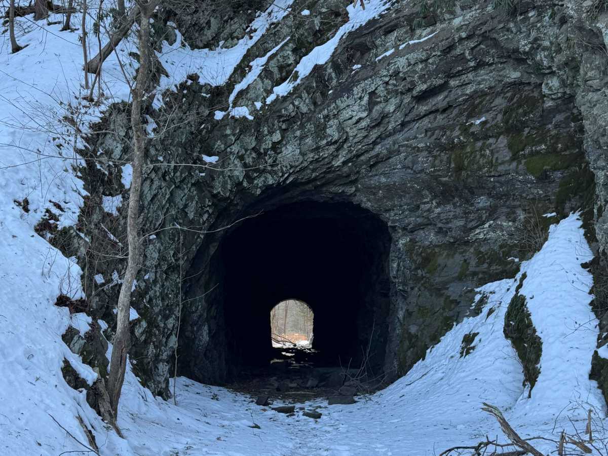
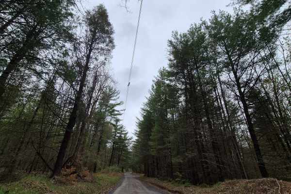
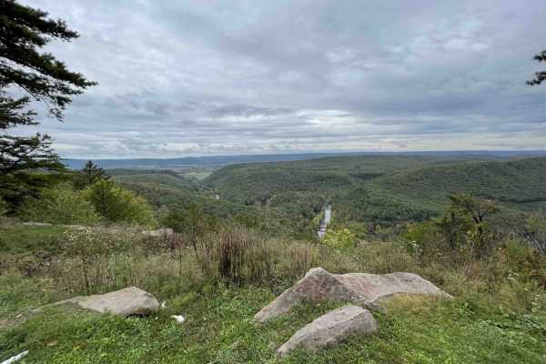
Tunnel Road is primarily a graded gravel road. It is an easy ride in the summer months; however, there is no winter maintenance. During times of rain, snow, and ice, the road can become rutted and harder to travel on. Tunnel Road is within Bald Eagle State Forest and runs along Penns Creek. There are numerous spots to stop along this road and enjoy the foliage and possible wildlife. Coburn Tunnel is located on this dead-end road. You can access the tunnel from both sides. This region of Pennsylvania is a great place to explore during the fall when the leaves are changing color, and the full beauty of the State Forest is on display.
Difficulty
Tunnel Road is an easy ride in the summer months, however there is no winter maintenance. During times of rain, snow, and ice, the road will become harder to travel on. It can become washed out and rutted in the spring thaw and rainy seasons. There can be water in the ruts, and they will become slick and muddy.
History
Both the Coburn Tunnel (AKA the Beaver Dam Tunnel) and the nearby Paddy Mountain Tunnel were built in the 1870s by the Lewisburg, Centre and Spruce Creek Railroad, and Coburn itself is named after Colonel J.P. Coburn, one of the railroad’s directors. Unfortunately for Colonel Coburn and the initial investors, the railroad proved to be unprofitable – the LC&SC defaulted on it’s bonds, and it was purchased at a Sherriff's sale by the Pennsylvania Railroad in 1879. The Pennsylvania Railroad and its various successors maintained the rail line and tunnel until 1970. Today, the Coburn Tunnel sits abandoned, but is still passable to foot traffic nearly 150 years after it was first dug.