
Beginner Off-Road Trails
Near Church Hill, Tennessee
Explore All Beginner Trails Near Church Hill, Tennessee
Beginner Off-Road Trails Near Church Hill, Tennessee
Discover the best beginner-friendly off-road trails near you. These easier, lower-rated trails are a great place to start — browse trail maps, check difficulty ratings, and find your next adventure.
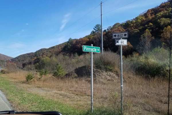
Clinch Mountain Fire Tower
Clinch Mountain Fire Tower is an ideal scenic route for beginners, families, and overland travelers looking for stunning Appalachian vistas without the stress of highly technical terrain. This unpaved mountain passage winds up and over the ridge of Clinch Mountain, connecting the historic community ...
Learn more about Clinch Mountain Fire Tower
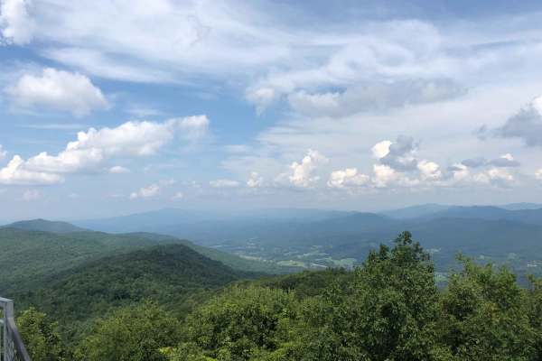
Buffalo Mountain - Fire Tower Climb
This route will take you on a journey through the mountains to the upper parking lot area, near the refurbished fire tower. Once at the parking area, it is a 20-45 minute hike to the fire tower depending on the route you take. The fire tower offers spectacular views of the surrounding mountains. Th...
Learn more about Buffalo Mountain - Fire Tower Climb
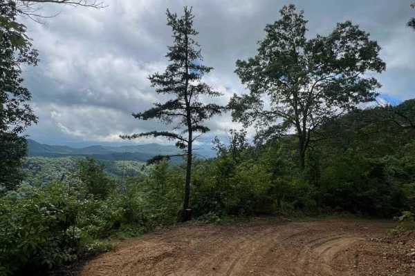
Horse Cove Gap
Horse Cove Gap is an out-and-back trail that offers breathtaking views of the Blue Ridge Mountains. The trail winds through lush forests, gradually leading to several overlooks that provide panoramic vistas of the surrounding landscape. The scenery is truly spectacular, with the rolling hills and mo...
Learn more about Horse Cove Gap
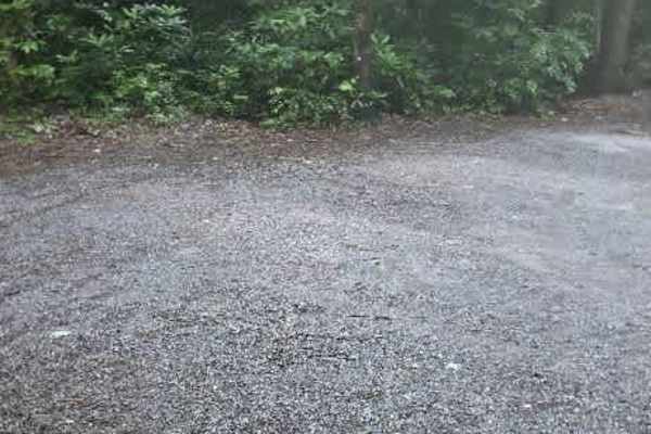
Clarks Creek
Clarks Creek is an easy out-and-back gravel trail that begins at the entrance to Cherokee National Forest and follows the scenic Clarks Creek through a quiet, wooded landscape. The route offers a relaxing drive with beautiful forest views and the peaceful sound of the creek accompanying much of the ...
Learn more about Clarks Creek
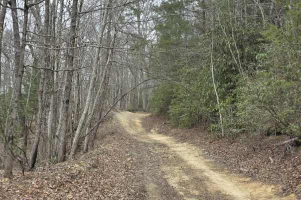
Upper Briar Creek Spur - FS 4354A
Upper Briar Creek Spur (FS 4354A) is a moderately technical trail that begins with immediate obstacles and maintains a more rugged character throughout. Early in the route, a downed tree creates a low-clearance hazard that can be especially problematic for lifted vehicles, requiring careful approach...
Learn more about Upper Briar Creek Spur - FS 4354A
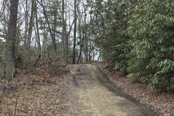
Upper Briar Creek - FS 4354
Upper Briar Creek (FS 4354) is a moderately easy trail that offers a mix of terrain features and gradually becomes more rugged as you progress. The route begins as a single-lane trail with scattered ruts, protruding rocks, and occasional sandy sections. Several mud holes are present throughout, whic...
Learn more about Upper Briar Creek - FS 4354
Bumpus Cove Trail - FS 190
After turning onto Rich Mountain (190) Trail, also locally known as Bumpus Cove, will open up approximately one-quarter mile in and allow for groups to park along the edge to adjust tire pressure when entering or before leaving the trail. Bumpus Cove is a well-maintained, gravel road that is mostly ...
Learn more about Bumpus Cove Trail - FS 190
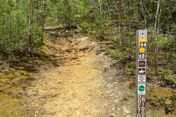
Jennings Creek Road
Jennings Creek Road travels along the border of Cherokee National Forest between the Horse Creek Recreation Area and the Old Forge NF Campground. The campground has walk-in sites with a parking lot only 10 to 25 yards from most of the sites. Pit toilets are also available at the campground. The road...
Learn more about Jennings Creek Road
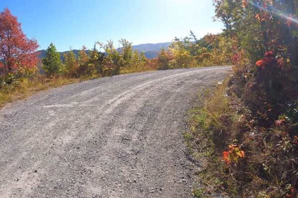
Round Knob Road - FS88
This is a 4.2-mile out-and-back single-lane forest service road on the Tennessee side of the Cherokee National Forest, southeast of Greeneville, Tennessee, leading up to the Bald Mountains region. It is accessed from Greeneville, TN via Greystone Road and eventually turns into Round Knob Road. The r...
Learn more about Round Knob Road - FS88

Rich Mountain Summit
Rich Mountain Summit is the legal continuation of Rich Mountain Trail which has seasonal closures typically from December 20 through late March and is considered an 'out and back' experience. The Rich Mountain Summit Trail begins by taking a 90-degree right turn and passing through a Forest Service ...
Learn more about Rich Mountain Summit
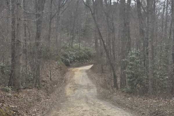
Big Creek South
Big Creek South is a moderately easy gravel route that offers a straightforward drive with a few areas requiring attention. The surface is primarily gravel with scattered mud holes and ruts, including some deeper sections along the edges where vehicles have driven off the main line. These deeper are...
Learn more about Big Creek South
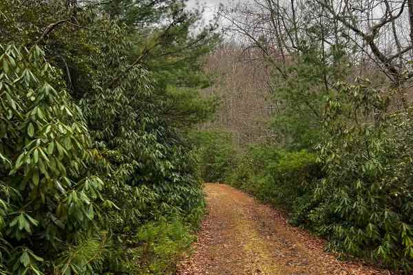
Little Mountain
This is a relatively tame FS road that offers some camp spots, scenic views, and a peaceful drive through the mountains. Although the trail is mostly flat, you will encounter some potholes and small rocks along the way. This is an out-and-back trail with the turn-around point overlooking some of Uni...
Learn more about Little Mountain
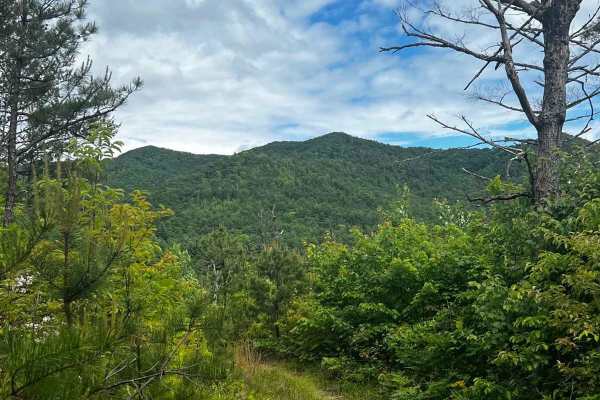
Irishman Branch
Take a quick trip through the mountains on this scenic forest service road. There are multiple water bars (rain/erosion control mounds) that can catch you by surprise, so use caution throughout the trail. There is one spot in particular about halfway up the trail that stays muddy and rutted out; cou...
Learn more about Irishman Branch

Flatwoods Road
Flatwoods Road is an easy forest road with a gravel surface that offers a relaxed and accessible drive through a natural setting. The trail is generally about one and a half lanes wide, providing enough space for comfortable travel with occasional pull-offs and parking areas scattered along the rout...
Learn more about Flatwoods Road

Rocky Branch Road
Rocky Branch Road is a moderately easy trail that offers a mix of gravel terrain with light obstacles and access to several nearby hiking areas. The route is primarily one lane with occasional pull-offs for passing, requiring drivers to remain aware of oncoming traffic. The surface includes ruts and...
Learn more about Rocky Branch Road
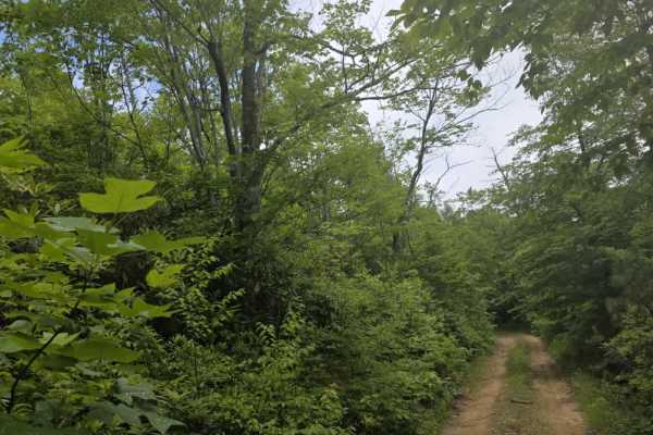
Kennedy Cabin
Kennedy Cabin is a moderately easy out-and-back dirt trail accessed from Firescald Trail. The route follows a single-lane corridor with few opportunities to turn around before reaching the end, making it important to be aware of trail traffic before committing. The surface is a mix of dirt and scatt...
Learn more about Kennedy Cabin
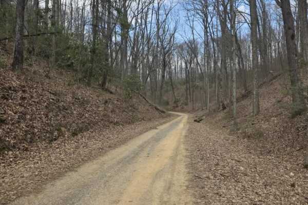
Big Creek Road
Big Creek Road is a moderately easy gravel route within Cherokee National Forest that serves as a connector to Flatwoods and Old Flatwoods. The surface is primarily gravel with a mix of potholes and occasional rough sections, but the trail remains generally accessible under normal conditions. Along ...
Learn more about Big Creek Road
Firescald
Firescald is a moderately easy out-and-back dirt trail accessed from Viking Mountain Road that offers a more rugged forest driving experience. The route remains primarily single-lane with very few pull-off areas, so drivers should be prepared to encounter limited passing opportunities. The surface c...
Learn more about Firescald
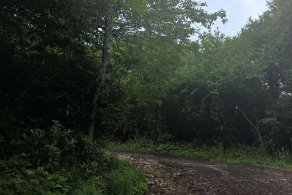
Camp Creek Bald
Camp Creek Bald is a moderately easy out-and-back dirt trail accessed from Viking Mountain Road. The route follows a generally wide single-lane corridor with enough room in most areas for vehicles to pass one another. While the trail is straightforward overall, drivers will encounter washouts and un...
Learn more about Camp Creek Bald
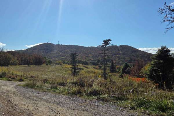
Viking Mountain Road
Turning to gravel 5 miles in, Viking Mountain Road is a 3.5-mile out-and-back single-lane forest service road on the Tennessee side of the Cherokee National Forest, southeast of Greeneville, Tennessee, leading up to the Bald Mountains region. On pavement, it is accessed from Greeneville, Tennessee v...
Learn more about Viking Mountain Road
Beginner ATV trails near Church Hill, Tennessee
Explore ATV-friendly trails near you. These trails are accessible for vehicles up to 50 inches wide, perfect for ATVs and smaller off-road machines.
Upper Briar Creek Spur - FS 4354A
Upper Briar Creek Spur (FS 4354A) is a moderately technical trail that begins with immediate obstacles and maintains a more rugged character throughout. Early in the route, a downed tree creates a low-clearance hazard that can be especially problematic for lifted vehicles, requiring careful approach...
Learn more about Upper Briar Creek Spur - FS 4354A
Upper Briar Creek - FS 4354
Upper Briar Creek (FS 4354) is a moderately easy trail that offers a mix of terrain features and gradually becomes more rugged as you progress. The route begins as a single-lane trail with scattered ruts, protruding rocks, and occasional sandy sections. Several mud holes are present throughout, whic...
Learn more about Upper Briar Creek - FS 4354
Rich Mountain Summit
Rich Mountain Summit is the legal continuation of Rich Mountain Trail which has seasonal closures typically from December 20 through late March and is considered an 'out and back' experience. The Rich Mountain Summit Trail begins by taking a 90-degree right turn and passing through a Forest Service ...
Learn more about Rich Mountain Summit
Irishman Branch
Take a quick trip through the mountains on this scenic forest service road. There are multiple water bars (rain/erosion control mounds) that can catch you by surprise, so use caution throughout the trail. There is one spot in particular about halfway up the trail that stays muddy and rutted out; cou...
Learn more about Irishman Branch
Beginner UTV/side-by-side trails near Church Hill, Tennessee
Find UTV and side-by-side trails near you. These trails accommodate vehicles up to 60 inches wide, ideal for UTVs, side-by-sides, and wider off-road rigs.
Upper Briar Creek Spur - FS 4354A
Upper Briar Creek Spur (FS 4354A) is a moderately technical trail that begins with immediate obstacles and maintains a more rugged character throughout. Early in the route, a downed tree creates a low-clearance hazard that can be especially problematic for lifted vehicles, requiring careful approach...
Learn more about Upper Briar Creek Spur - FS 4354A
Upper Briar Creek - FS 4354
Upper Briar Creek (FS 4354) is a moderately easy trail that offers a mix of terrain features and gradually becomes more rugged as you progress. The route begins as a single-lane trail with scattered ruts, protruding rocks, and occasional sandy sections. Several mud holes are present throughout, whic...
Learn more about Upper Briar Creek - FS 4354
Rich Mountain Summit
Rich Mountain Summit is the legal continuation of Rich Mountain Trail which has seasonal closures typically from December 20 through late March and is considered an 'out and back' experience. The Rich Mountain Summit Trail begins by taking a 90-degree right turn and passing through a Forest Service ...
Learn more about Rich Mountain Summit
Viking Mountain Road
Turning to gravel 5 miles in, Viking Mountain Road is a 3.5-mile out-and-back single-lane forest service road on the Tennessee side of the Cherokee National Forest, southeast of Greeneville, Tennessee, leading up to the Bald Mountains region. On pavement, it is accessed from Greeneville, Tennessee v...
Learn more about Viking Mountain Road
The onX Offroad Difference
onX Offroad combines trail photos, descriptions, difficulty ratings, width restrictions, seasonality, and more in a user-friendly interface. Available on all devices, with offline access and full compatibility with CarPlay and Android Auto. Discover what you're missing today!
Open Trail Map