Trail Overview
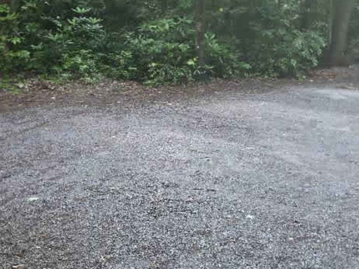
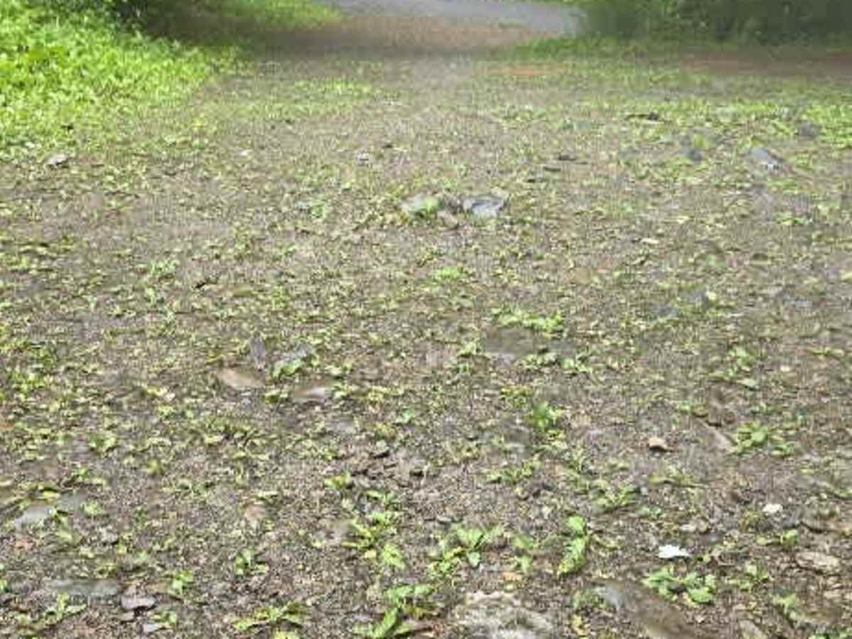
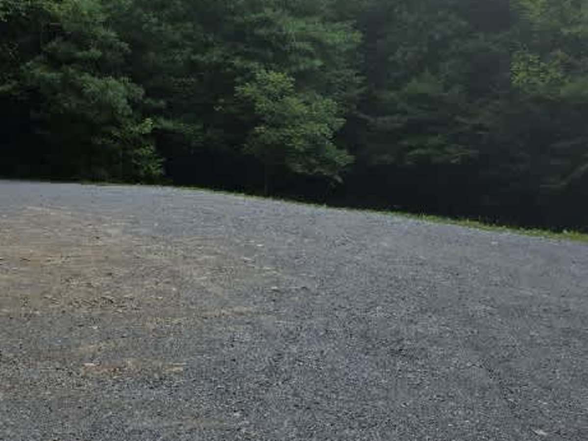
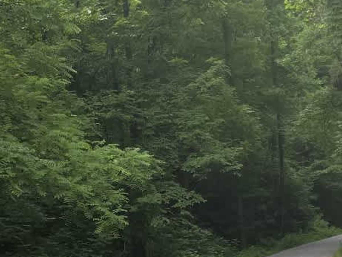
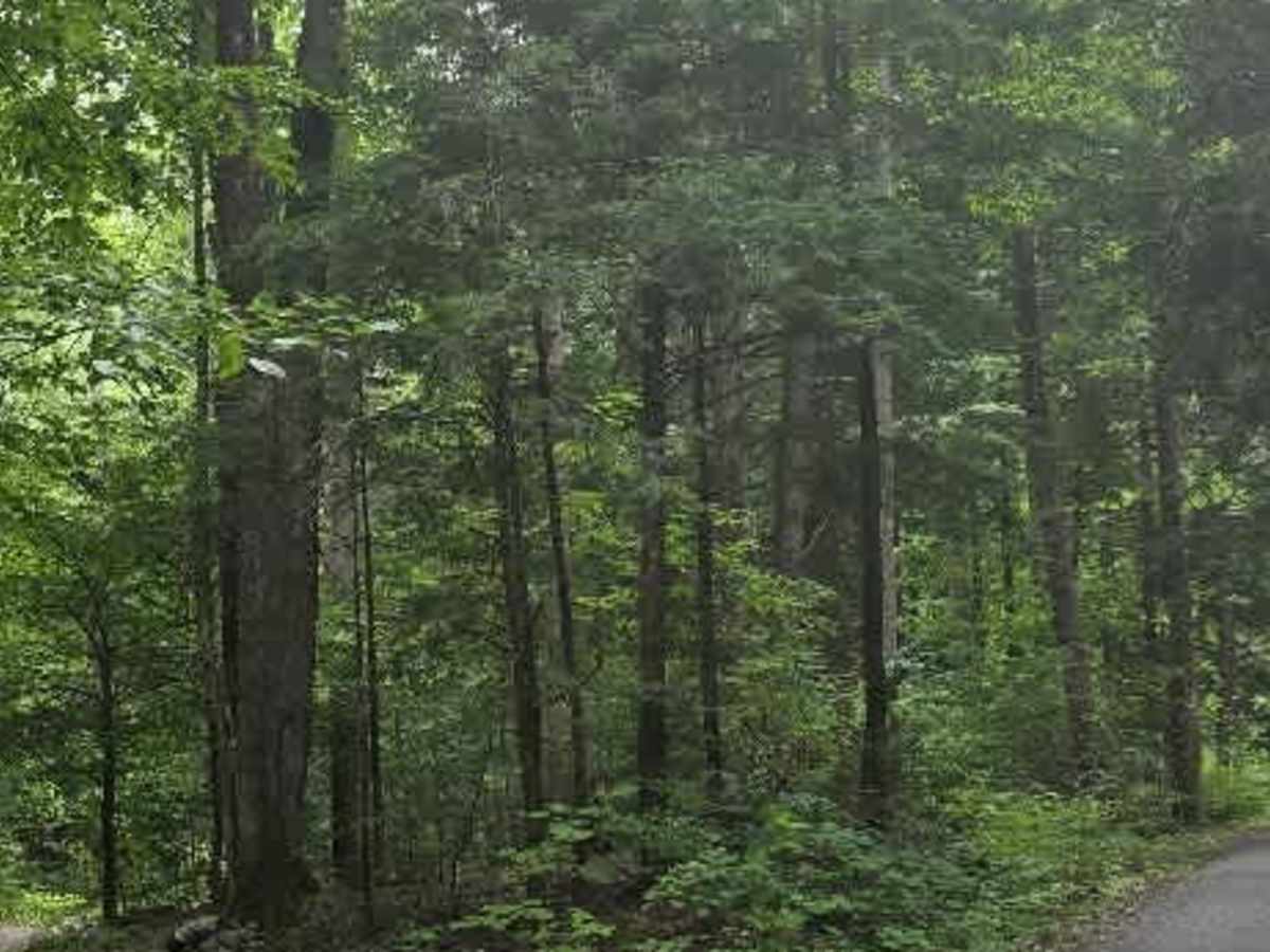
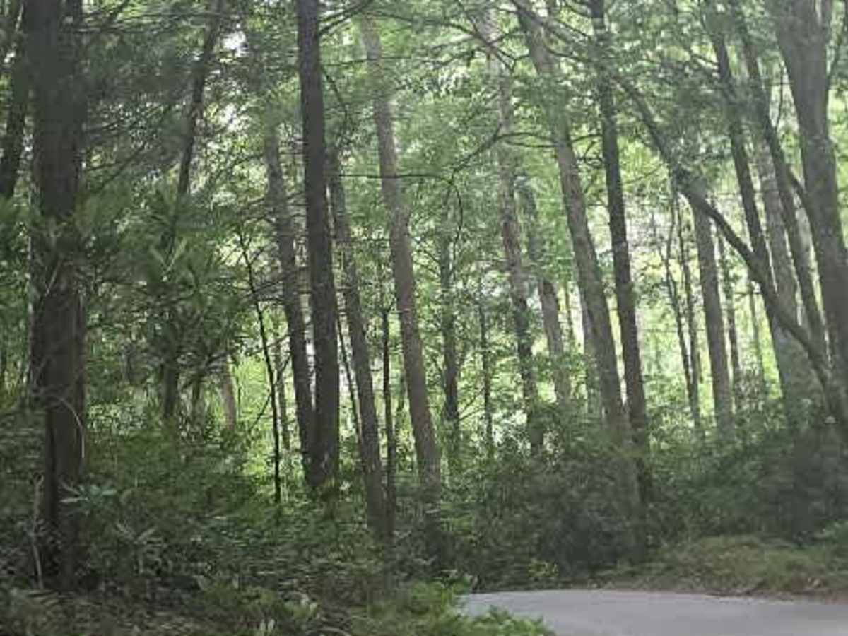
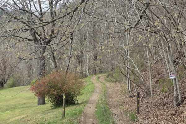
Clarks Creek is an easy out-and-back gravel trail that begins at the entrance to Cherokee National Forest and follows the scenic Clarks Creek through a quiet, wooded landscape. The route offers a relaxing drive with beautiful forest views and the peaceful sound of the creek accompanying much of the journey. The gravel surface is well maintained, making this a trail that can be comfortably enjoyed by daily drivers under normal conditions. The road is generally wide with numerous pull-off areas, allowing vehicles to pass with ease or stop to enjoy the scenery. A few potholes can be found along the route, but they are shallow and easily avoided. Several hiking trailheads, including Longarm Branch and Sill Branch, are accessible from the trail, making it a great destination for those looking to combine a scenic drive with a hike. Clarks Creek ends at a large turnaround area before retracing the route back to the trailhead. Drivers should also be aware that the access roads leading to the trail pass alongside private property, so remaining on the roadway and respecting local residents is appreciated.
Difficulty
Clarks Creek is rated a 1 due to its maintained gravel surface, gentle grades, and lack of sustained obstacles. While a few potholes may be encountered, they are easily avoided and do not significantly impact the driving experience. The wide roadway, numerous pull-off areas, and predictable surface make this one of the easier trails in the area. Overall, the sustained experience aligns with an easy dirt or rocky road suitable for most 4WD and high-clearance 2WD vehicles, and is easily manageable by passenger vehicles under normal conditions.


 Offroad