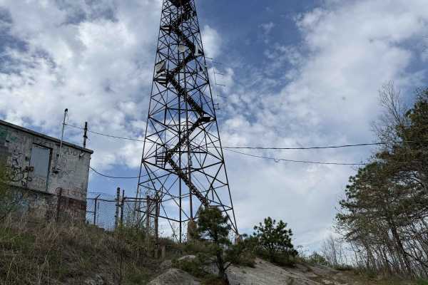
Trail Overview
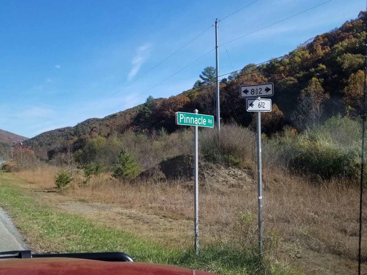
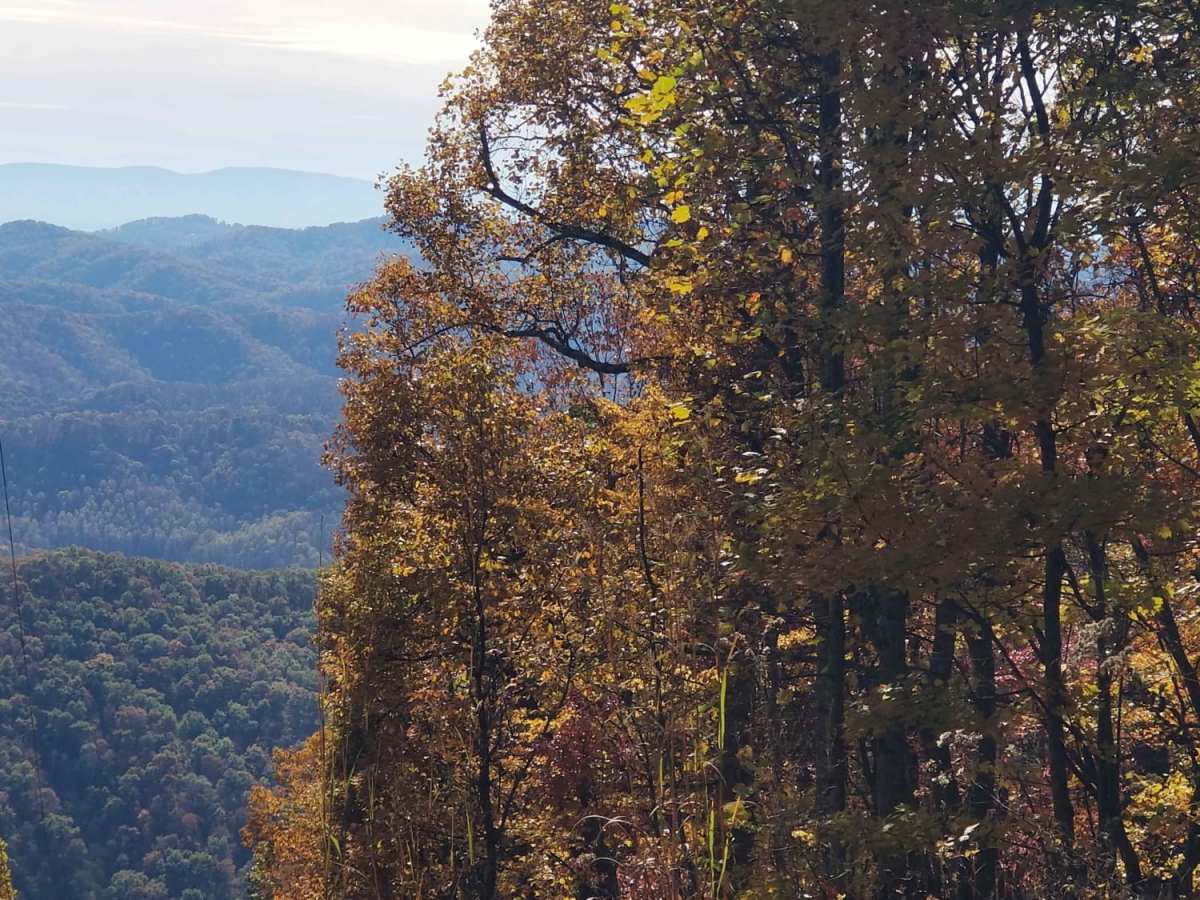
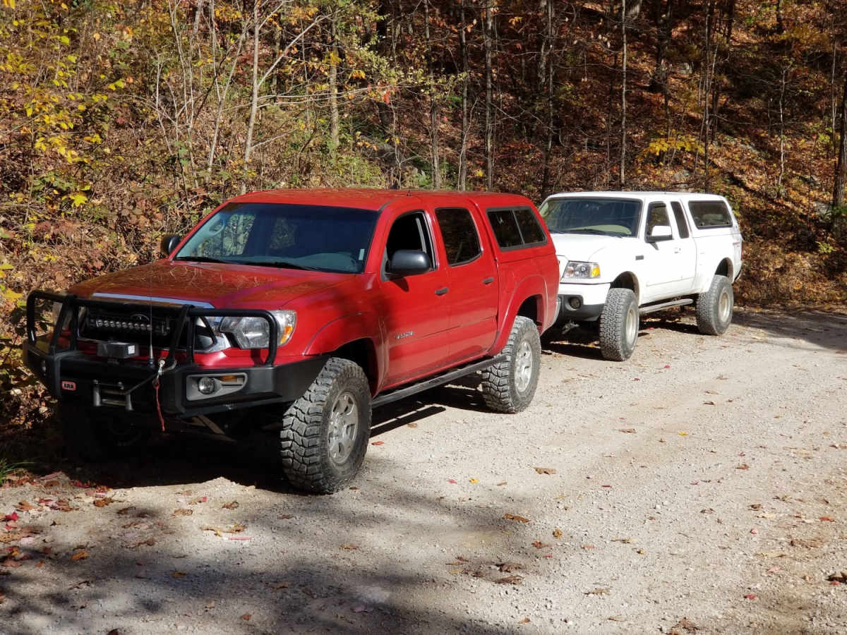
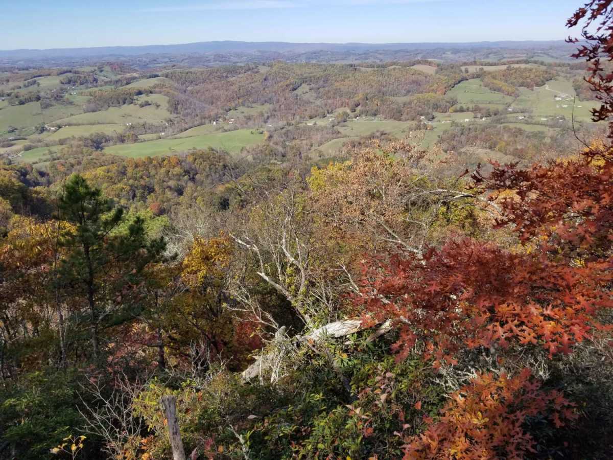
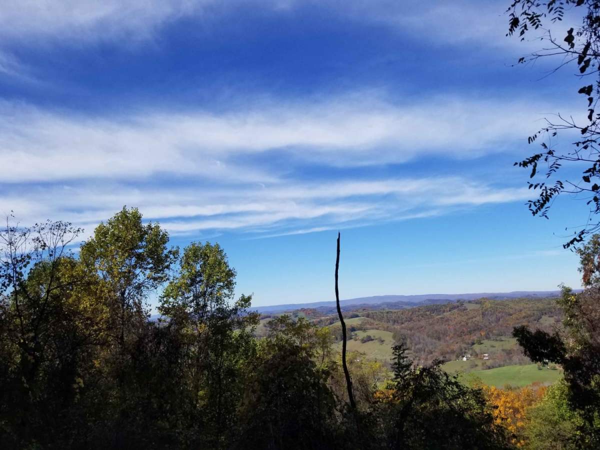
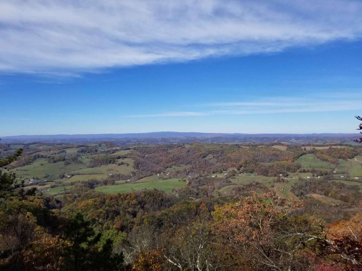
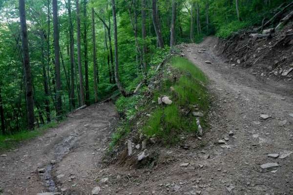
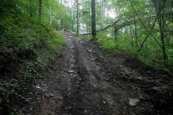
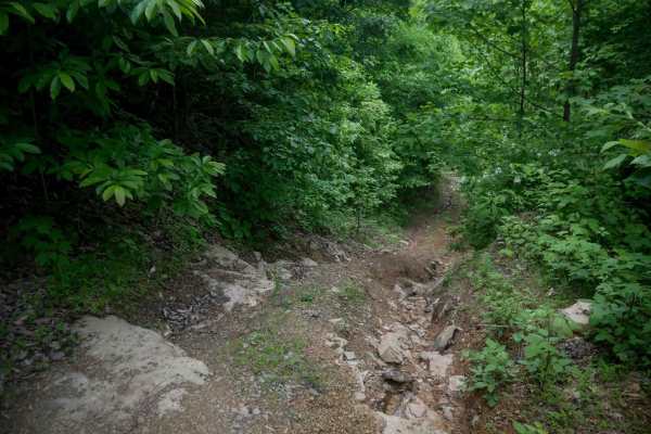
Clinch Mountain Fire Tower is an ideal scenic route for beginners, families, and overland travelers looking for stunning Appalachian vistas without the stress of highly technical terrain. This unpaved mountain passage winds up and over the ridge of Clinch Mountain, connecting the historic community of Mendota with the picturesque Moccasin Valley. Drivers will navigate a series of sweeping switchbacks and blind curves as they climb towards Fugate Gap, surrounded by dense hardwood forests that turn vibrant colors in autumn. The route is highly accessible, suitable for most high-clearance crossovers, stock SUVs, four-wheel-drive vehicles, and SxSs during dry conditions.
While generally straightforward, the trail demands caution as there are steep drop-offs along the shelf road sections without guardrails, making careful speed control essential around tight bends. Wet weather, heavy rains, winter snow, or icy conditions can rapidly elevate the difficulty, turning the dirt and gravel surface slick and muddy. Nearby, visitors can explore local cultural landmarks like the Carter Family Fold in Hiltons, Virginia, or enjoy outdoor recreation such as tubing and kayaking on the nearby Holston River. Planning a trip during the dry summer or colorful fall months ensures the best driving conditions and most spectacular long-range views of the surrounding valleys.
Difficulty
This road is easily traversed by any decent clearance vehicle. Inclement weather such as heavy rain, or any snow and icy conditions can make this trip much more challenging, as there are steep drop offs without guardrails.