
Beginner Off-Road Trails
Near Chuckey, Tennessee
Explore All Beginner Trails Near Chuckey, Tennessee
Beginner Off-Road Trails Near Chuckey, Tennessee
Discover the best beginner-friendly off-road trails near you. These easier, lower-rated trails are a great place to start — browse trail maps, check difficulty ratings, and find your next adventure.
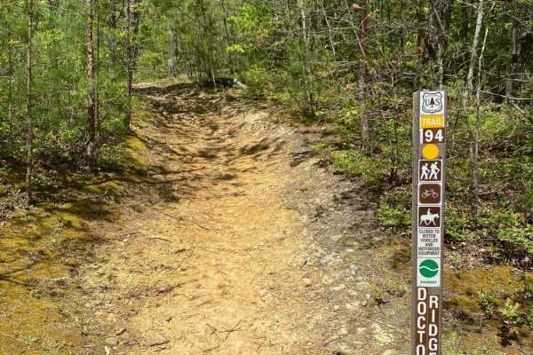
Jennings Creek Road
Jennings Creek Road travels along the border of Cherokee National Forest between the Horse Creek Recreation Area and the Old Forge NF Campground. The campground has walk-in sites with a parking lot only 10 to 25 yards from most of the sites. Pit toilets are also available at the campground. The road...
Learn more about Jennings Creek Road
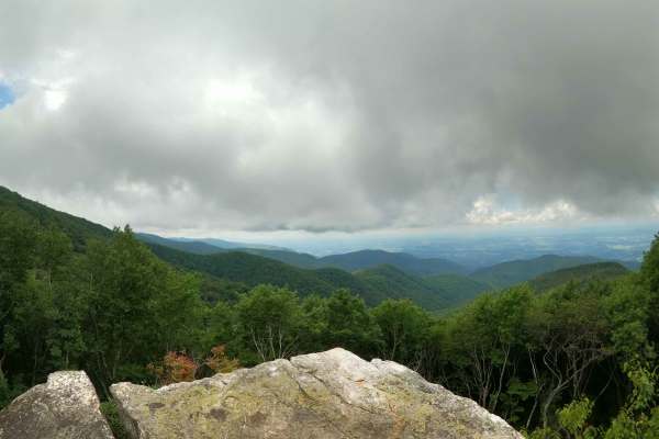
Horse Creek
Horse Creek - FS 94 received significant maintenance in July 2026. Multiple portions of the trail were widened and graded, smoothing the previously rocky terrain. This has reduced the trail difficulty as well as the time to complete it. Given how new several of these sections are, the clay is uncomp...
Learn more about Horse Creek
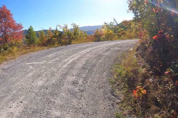
Round Knob Road - FS88
This is a 4.2-mile out-and-back single-lane forest service road on the Tennessee side of the Cherokee National Forest, southeast of Greeneville, Tennessee, leading up to the Bald Mountains region. It is accessed from Greeneville, TN via Greystone Road and eventually turns into Round Knob Road. The r...
Learn more about Round Knob Road - FS88
Clarks Creek
Clarks Creek is an easy out-and-back gravel trail that begins at the entrance to Cherokee National Forest and follows the scenic Clarks Creek through a quiet, wooded landscape. The route offers a relaxing drive with beautiful forest views and the peaceful sound of the creek accompanying much of the ...
Learn more about Clarks Creek
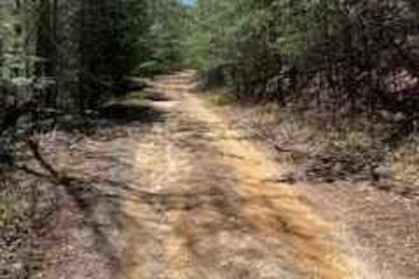
Bumpus Cove Trail - FS 190
After turning onto Rich Mountain (190) Trail, also locally known as Bumpus Cove, will open up approximately one-quarter mile in and allow for groups to park along the edge to adjust tire pressure when entering or before leaving the trail. Bumpus Cove is a well-maintained, gravel road that is mostly ...
Learn more about Bumpus Cove Trail - FS 190
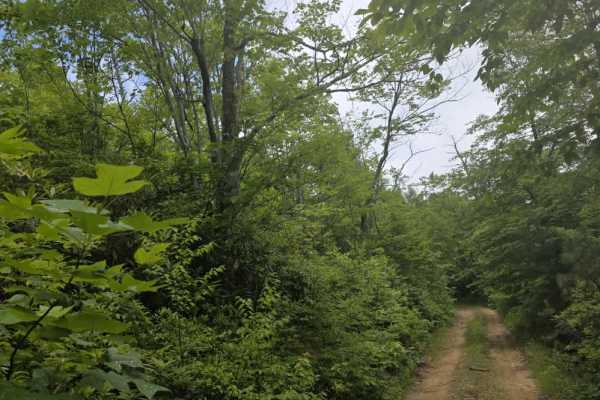
Kennedy Cabin
Kennedy Cabin is a moderately easy out-and-back dirt trail accessed from Firescald Trail. The route follows a single-lane corridor with few opportunities to turn around before reaching the end, making it important to be aware of trail traffic before committing. The surface is a mix of dirt and scatt...
Learn more about Kennedy Cabin
Firescald
Firescald is a moderately easy out-and-back dirt trail accessed from Viking Mountain Road that offers a more rugged forest driving experience. The route remains primarily single-lane with very few pull-off areas, so drivers should be prepared to encounter limited passing opportunities. The surface c...
Learn more about Firescald
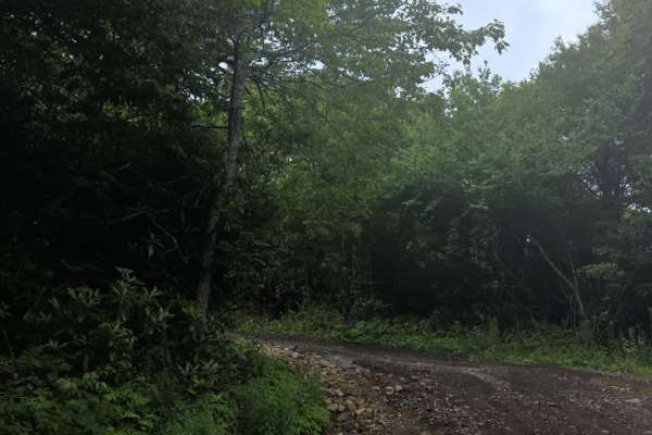
Camp Creek Bald
Camp Creek Bald is a moderately easy out-and-back dirt trail accessed from Viking Mountain Road. The route follows a generally wide single-lane corridor with enough room in most areas for vehicles to pass one another. While the trail is straightforward overall, drivers will encounter washouts and un...
Learn more about Camp Creek Bald

Rich Mountain Summit
Rich Mountain Summit is the legal continuation of Rich Mountain Trail which has seasonal closures typically from December 20 through late March and is considered an 'out and back' experience. The Rich Mountain Summit Trail begins by taking a 90-degree right turn and passing through a Forest Service ...
Learn more about Rich Mountain Summit
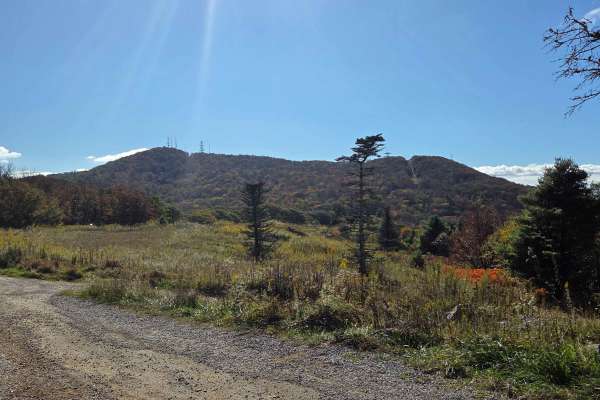
Viking Mountain Road
Turning to gravel 5 miles in, Viking Mountain Road is a 3.5-mile out-and-back single-lane forest service road on the Tennessee side of the Cherokee National Forest, southeast of Greeneville, Tennessee, leading up to the Bald Mountains region. On pavement, it is accessed from Greeneville, Tennessee v...
Learn more about Viking Mountain Road
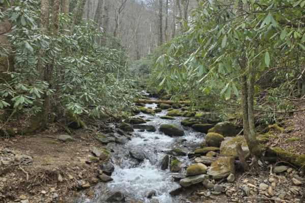
Big Creek
Big Creek is an easy out-and-back trail that offers a relaxed drive with a few features that require attention. The route begins with a shallow water crossing before continuing along a primarily gravel surface with gentle grades. Early on, drivers should observe posted signage—parking for Green Ridg...
Learn more about Big Creek

Green Mountain Road
This is a windy gravel mountain road. It winds along the edge of the mountain with mild elevation changes. Beautiful drive with a couple of good spots to catch a view, although there are no official lookouts. The road is well-maintained and makes a great "Sunday drive". The view is very pretty in th...
Learn more about Green Mountain Road
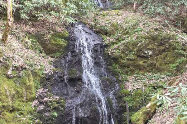
Sugarloaf Mountain Road
Sugarloaf Mountain Road is an easy gravel route that provides access to Pisgah Game Land while offering a scenic drive up the mountainside. The trail begins by passing near residential homes, so drivers should maintain low speeds, stay on the designated roadway, and be respectful of the local commun...
Learn more about Sugarloaf Mountain Road
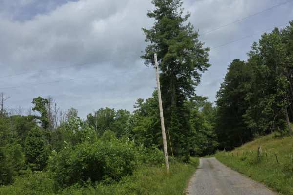
Pilgrim Lane
Pilgrim Lane is a moderately easy trail that begins as a maintained gravel road before transitioning to dirt upon entering Cherokee National Forest. From that point forward, the trail becomes more primitive, with several mud holes that collect rainwater and can become deeper or softer following wet ...
Learn more about Pilgrim Lane
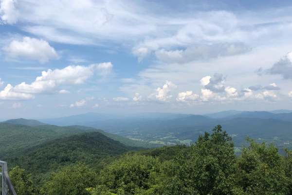
Buffalo Mountain - Fire Tower Climb
This route will take you on a journey through the mountains to the upper parking lot area, near the refurbished fire tower. Once at the parking area, it is a 20-45 minute hike to the fire tower depending on the route you take. The fire tower offers spectacular views of the surrounding mountains. Th...
Learn more about Buffalo Mountain - Fire Tower Climb
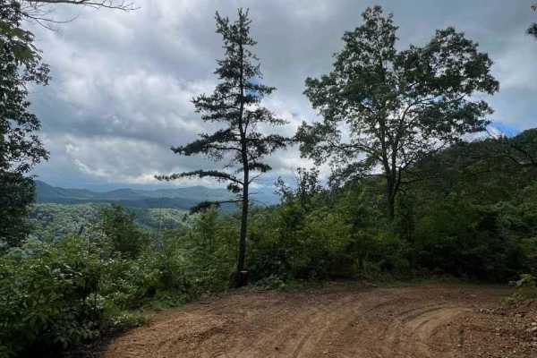
Horse Cove Gap
Horse Cove Gap is an out-and-back trail that offers breathtaking views of the Blue Ridge Mountains. The trail winds through lush forests, gradually leading to several overlooks that provide panoramic vistas of the surrounding landscape. The scenery is truly spectacular, with the rolling hills and mo...
Learn more about Horse Cove Gap
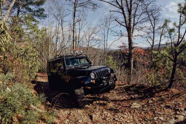
No Business Knob
No Business Knob is a tight but simple trail located in Cherokee National Forest. You will most likely get pinstripes from the branches lining the trail in an SUV or truck. The trail is just under 10 miles round-trip and traverses the side of the mountain range. Expect steep drop-offs on the side of...
Learn more about No Business Knob
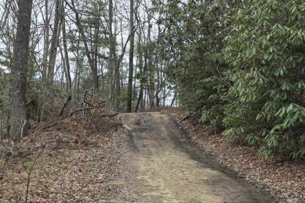
Upper Briar Creek - FS 4354
Upper Briar Creek (FS 4354) is a moderately easy trail that offers a mix of terrain features and gradually becomes more rugged as you progress. The route begins as a single-lane trail with scattered ruts, protruding rocks, and occasional sandy sections. Several mud holes are present throughout, whic...
Learn more about Upper Briar Creek - FS 4354
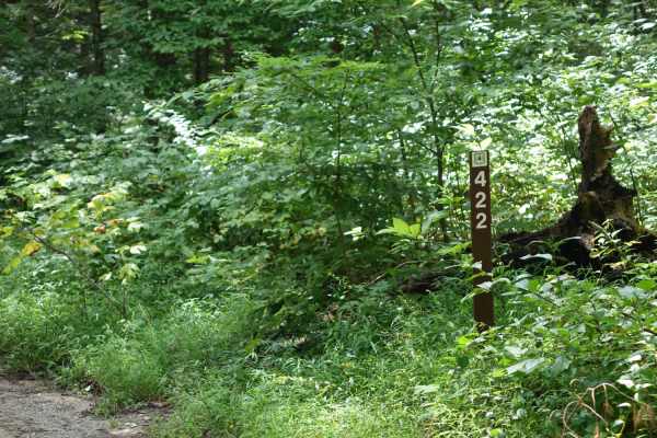
Hurricane Gap
Hurricane Gap is an easy, scenic 9.8-mile point-to-point gravel route perfect for beginners, families, and high-clearance two-wheel-drive or four-wheel-drive vehicles seeking a relaxing drive through the national forest. Traveling between the Houston Valley area and Hot Springs, North Carolina, the ...
Learn more about Hurricane Gap
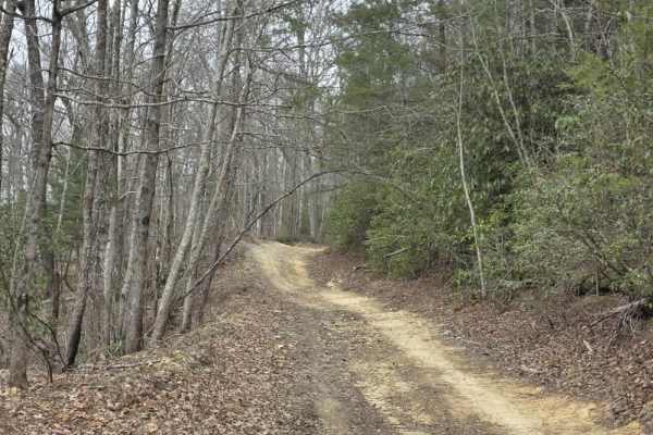
Upper Briar Creek Spur - FS 4354A
Upper Briar Creek Spur (FS 4354A) is a moderately technical trail that begins with immediate obstacles and maintains a more rugged character throughout. Early in the route, a downed tree creates a low-clearance hazard that can be especially problematic for lifted vehicles, requiring careful approach...
Learn more about Upper Briar Creek Spur - FS 4354A
Beginner ATV trails near Chuckey, Tennessee
Explore ATV-friendly trails near you. These trails are accessible for vehicles up to 50 inches wide, perfect for ATVs and smaller off-road machines.
Horse Creek
Horse Creek - FS 94 received significant maintenance in July 2026. Multiple portions of the trail were widened and graded, smoothing the previously rocky terrain. This has reduced the trail difficulty as well as the time to complete it. Given how new several of these sections are, the clay is uncomp...
Learn more about Horse Creek
Rich Mountain Summit
Rich Mountain Summit is the legal continuation of Rich Mountain Trail which has seasonal closures typically from December 20 through late March and is considered an 'out and back' experience. The Rich Mountain Summit Trail begins by taking a 90-degree right turn and passing through a Forest Service ...
Learn more about Rich Mountain Summit
Viking Mountain Road
Turning to gravel 5 miles in, Viking Mountain Road is a 3.5-mile out-and-back single-lane forest service road on the Tennessee side of the Cherokee National Forest, southeast of Greeneville, Tennessee, leading up to the Bald Mountains region. On pavement, it is accessed from Greeneville, Tennessee v...
Learn more about Viking Mountain Road
Green Mountain Road
This is a windy gravel mountain road. It winds along the edge of the mountain with mild elevation changes. Beautiful drive with a couple of good spots to catch a view, although there are no official lookouts. The road is well-maintained and makes a great "Sunday drive". The view is very pretty in th...
Learn more about Green Mountain Road
Beginner UTV/side-by-side trails near Chuckey, Tennessee
Find UTV and side-by-side trails near you. These trails accommodate vehicles up to 60 inches wide, ideal for UTVs, side-by-sides, and wider off-road rigs.
Horse Creek
Horse Creek - FS 94 received significant maintenance in July 2026. Multiple portions of the trail were widened and graded, smoothing the previously rocky terrain. This has reduced the trail difficulty as well as the time to complete it. Given how new several of these sections are, the clay is uncomp...
Learn more about Horse Creek
Rich Mountain Summit
Rich Mountain Summit is the legal continuation of Rich Mountain Trail which has seasonal closures typically from December 20 through late March and is considered an 'out and back' experience. The Rich Mountain Summit Trail begins by taking a 90-degree right turn and passing through a Forest Service ...
Learn more about Rich Mountain Summit
Viking Mountain Road
Turning to gravel 5 miles in, Viking Mountain Road is a 3.5-mile out-and-back single-lane forest service road on the Tennessee side of the Cherokee National Forest, southeast of Greeneville, Tennessee, leading up to the Bald Mountains region. On pavement, it is accessed from Greeneville, Tennessee v...
Learn more about Viking Mountain Road
Green Mountain Road
This is a windy gravel mountain road. It winds along the edge of the mountain with mild elevation changes. Beautiful drive with a couple of good spots to catch a view, although there are no official lookouts. The road is well-maintained and makes a great "Sunday drive". The view is very pretty in th...
Learn more about Green Mountain Road
The onX Offroad Difference
onX Offroad combines trail photos, descriptions, difficulty ratings, width restrictions, seasonality, and more in a user-friendly interface. Available on all devices, with offline access and full compatibility with CarPlay and Android Auto. Discover what you're missing today!
Open Trail Map