Trail Overview
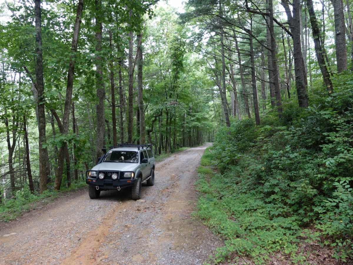
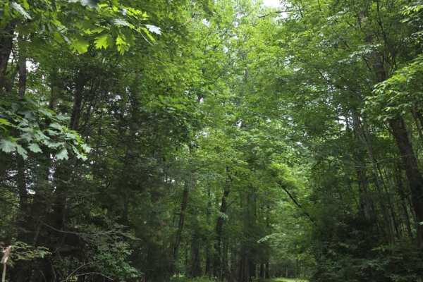
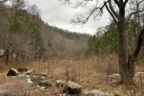
Hurricane Gap is an easy, scenic 9.8-mile point-to-point gravel route perfect for beginners, families, and high-clearance two-wheel-drive or four-wheel-drive vehicles seeking a relaxing drive through the national forest. Traveling between the Houston Valley area and Hot Springs, North Carolina, the well-maintained road climbs from a minimum elevation of 1,682 feet to a peak of 2,947 feet, offering an approachable climb with a cumulative elevation gain of 1,690 feet. The route is highly accessible and usually kept in excellent condition, serving as a primary access road through this portion of the forest. Along the drive, visitors can enjoy dense forest canopies and beautiful mountain scenery, making it ideal for a quick day trip or as a scenic transition between regional destinations.
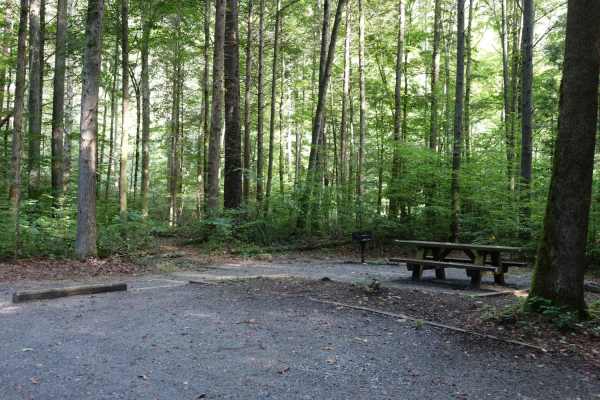
While the main route is straightforward, several notable side trips and recreational opportunities enhance the journey. A brief one-mile detour leads to the Rich Mountain Lookout Tower, which offers panoramic views of the surrounding landscape. For those looking for a more demanding driving experience, Shad Road connects near both the northern and southern ends of Hurricane Gap and provides a more challenging, rugged alternative. At the northern terminus of the trail, adventurers will find a US Forest Service campground in the Paint Creek area, as well as convenient access to scenic waterfalls and local creeks. The southern end of the road lies just a few miles from the welcoming mountain town of Hot Springs, making it easy to combine the drive with local dining and amenities.
Access Description
As a primary access road through the national forest, the route is well-maintained and typically suitable for most high-clearance vehicles. No special permits are required, but travelers should watch for occasional forestry management traffic.