
Beginner Off-Road Trails
Near Castle Point, Missouri
Explore All Beginner Trails Near Castle Point, Missouri
Beginner Off-Road Trails Near Castle Point, Missouri
Discover the best beginner-friendly off-road trails near you. These easier, lower-rated trails are a great place to start — browse trail maps, check difficulty ratings, and find your next adventure.
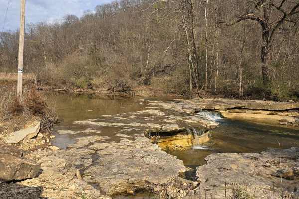
Lost Creek Road
Lost Creek Road is a scenic, graded gravel road. The road is fairly smooth, with the typical potholes. Shortly after you start, you'll come across a flowing waterfall off the road to the left. As you travel down, you find yourself at various creek crossings. The depth varies from an inch to eight in...
Learn more about Lost Creek Road
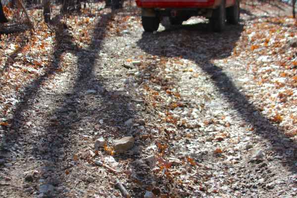
Flatwoods Spur B - FS 2438B
Flatwoods Spur B (FS 2438B) is a natural dirt and gravel forest service road within the Potosi Unit of Mark Twain National Forest. The Flatwoods Spur B heads north from the main road, Flatwoods FS 2438, heading into the woods along the ridge going north and then east from the main ridge. The road ha...
Learn more about Flatwoods Spur B - FS 2438B
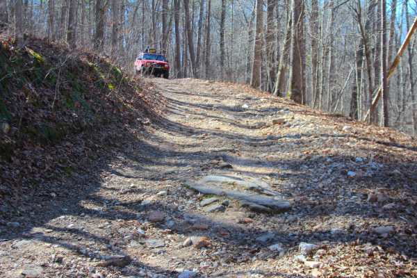
Coffman Hollow - FS 2907
Coffman Hollow (FS 2907) is a natural dirt, coarse gravel, and natural rock forest service road within the Potosi Unit of Mark Twain National Forest. Coffman Hollow heads west off the FS 2438, going along the raised ridge, slowly shedding off elevation downhill for the first mile, traversing small w...
Learn more about Coffman Hollow - FS 2907
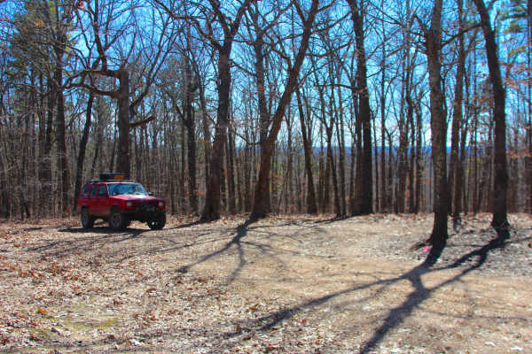
Clear Creek North Side - FS 2269
Clear Creek North Side (FS 2269) is a dirt and gravel forest service road within the Potosi Unit of Mark Twain National Forest. The dirty natural gravel surface track heads south from the Floyd Tower Road ridge, going into the treelines at a slight downhill grade to the middle section of the trail t...
Learn more about Clear Creek North Side - FS 2269

Bidwell FSR 2199
Bidwell FSR 2199, is a gravel forestry road that travels through Mark Twain National Forest. Bidwell is one of the longest forestry routes on the eastern side of the forest clocking in at 8.6 forestries serviced miles or 11.85 with the gravel roads that feed into it. Bidwell features many steep grad...
Learn more about Bidwell FSR 2199
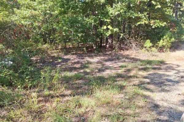
Highline FSR 2472
This forest service road is a 2 track through the Mark Twain National Forest and is part of the Potosi/Fredericktown Ranger district. It is a great little side trip off the main road to see the forest, and this area also offers a couple of secluded camping spots. Most of this road is overgrown, so e...
Learn more about Highline FSR 2472
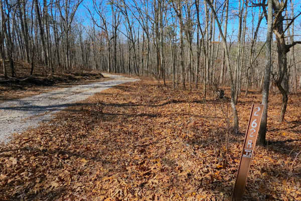
Shirley Ridge - FS 2628
Shirley Ridge (FS 2628) is a maintained gravel forest service road within the Potosi Unit of Mark Twain National Forest. The road begins at Berryman Road and the upper ridge it rests on, heading northwest, going downhill rapidly at first, only to shift towards a milder downhill grade before rising o...
Learn more about Shirley Ridge - FS 2628
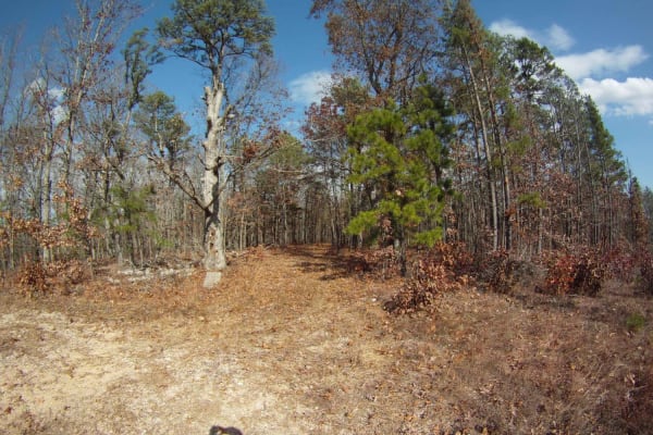
Allen Branch FS 4004
Allen Branch FS 4004 is an easy, scenic 2.35-mile dirt and gravel road in the Mark Twain National Forest. Perfect for beginners, hunters, and hikers, the straightforward route rises gently from 1,156 to 1,275 feet through dense forest. It is easily passable by high-clearance vehicles, and standard s...
Learn more about Allen Branch FS 4004
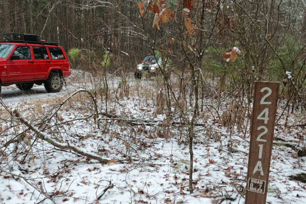
Meridian Spur A - FS 2421A
Meridian Spur A FS 2421A is a gravel, leaning towards natural-improved, road within the Grassy Hollow Road area of the Potosi Unit of Mark Twain National Forest. The road begins as a fork in the Meridian FS 2421, where this turns southward, traversing slowly downhill over a slowly fading gravel road...
Learn more about Meridian Spur A - FS 2421A
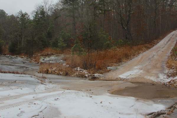
Meridian - FS 2421
Meridian FS 2421 is a coarse gravel road off Grassy Hollow Road within the Potosi Unit of Mark Twain National Forest. The track features a scenic ride through the ridges and valleys between Lost Creek and Little Lost Creek. The trail features mild-graded hills, water collection spots, natural rock, ...
Learn more about Meridian - FS 2421
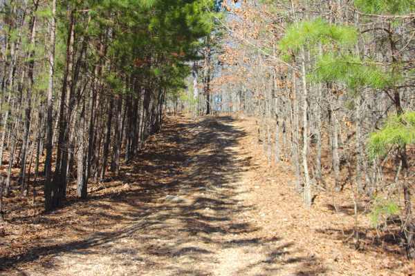
Kemlin Hollow - FS 2627
Kemlin Hollow (FS 2627) is a natural gravel and dirt road within the Potosi Unit of Mark Twain National Forest. The road begins at Berryman Road and the upper ridge it rests on, heading south, first riding on generally flat ground, to the point the trail narrows into a pine-filled downhill with smal...
Learn more about Kemlin Hollow - FS 2627
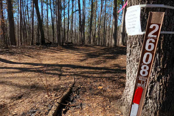
Billys Branch - FS 2608
Billy's Branch (FS 2608) is a natural dirt and gravel road within the Potosi Unit of Mark Twain National Forest. The road begins at Berryman Road and the upper ridge it rests on, heading northwest, going downhill, crossing over natural rock poking out of the surface, with mild rutting to meet a smal...
Learn more about Billys Branch - FS 2608
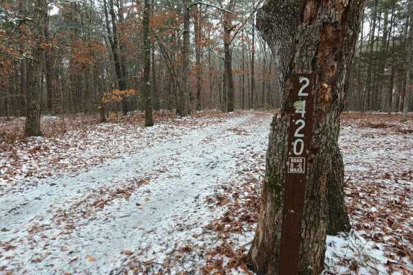
Lost Meridian - FS 2420
Lost Meridian FS 2420, is a natural improved trail within the Grassy Hollow Road area of the Potosi Unit of Mark Twain National Forest. The trail terrain leans into the natural from the entry, consisting of a coarse gravel and dirt mix, having tight trees, mild water collection holes, mud rut sectio...
Learn more about Lost Meridian - FS 2420
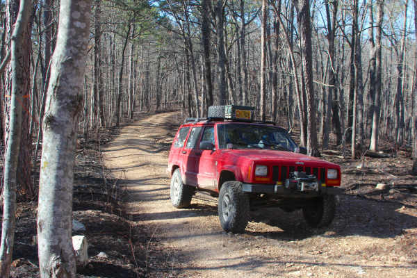
Hidden Pond - FS 2607
Hidden Pond (FS 2607) is a natural dirt and gravel forest service road within the Potosi Unit of Mark Twain National Forest. The road begins at Berryman Road and the upper ridge it rests on, heading northwest, going downhill, featuring loose coarse gravel, natural cobbles, and erosion-ruts to the co...
Learn more about Hidden Pond - FS 2607

Johns Creek FSR 2170
Johns Creek FSR 2170 is a half gravel half dirt forestry route through the northeasternmost section of Mark Twain National Forest, which resides in lower Ste Genevieve County Missouri. The trail is focused on being a hunting destination, full of campsite cutouts amongst the tall pines, and is genera...
Learn more about Johns Creek FSR 2170
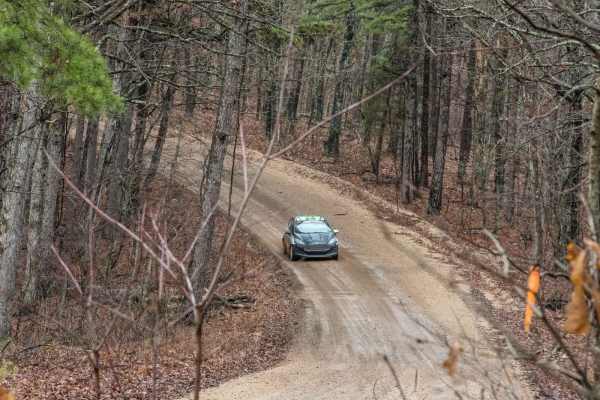
Pigeon Roost Road - WCR 603
Pigeon Roost Road or Washington County Road 603, is a gravel-dirt mixed road going through portions of rural Washington County land and the Potosi Unit within Mark Twain National Forest. The road features a unique use as an official Rally Stage in the Rally in the 100 Acre Wood (Spring-March) and th...
Learn more about Pigeon Roost Road - WCR 603
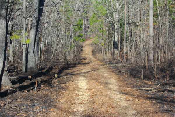
Hidden Pond Spur A - FS 2607A
Hidden Pond Spur A (FS 2607A) is a natural dirt and gravel forest service road within the Potosi Unit of Mark Twain National Forest. The Spur Road begins going south off the far western section of the FS 2607, just a couple of hundred feet before the main road's legal end. The Spur Road quickly narr...
Learn more about Hidden Pond Spur A - FS 2607A
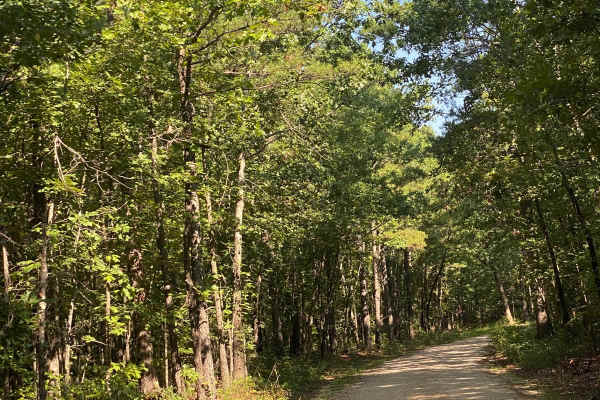
Bass River Scenic Route
This is a beautiful ride through Mark Twain National Forest on the northern portion of the Potosi district. There are lots of opportunities for photos and enjoying the scenery. You are likely to see deer and other animals along the route. Make sure to bring your swim trunks for a dip in the Huzzah C...
Learn more about Bass River Scenic Route
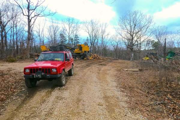
Compton - FS 2649
Compton FS 2649 is a dirt and gravel mixed road off Pigeon Roost Road within the Potosi Unit of Mark Twain National Forest. It features a track from one ridge top to another crossing into the valley where a feeder creek runs through and eventually contributes to the Ishmael Branch Creek shortly to t...
Learn more about Compton - FS 2649
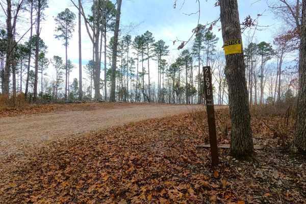
Snapps Hollow - FS 2698
Snapps Hollow FS 2698 is a gravel road within the Pigeon Roost Road area of the Potosi Unit of Mark Twain National Forest. It features a track going south where it branches off the Pigeon Roost Road, following the spines of the ridge top that it rests on, passing recent timber logging activity of th...
Learn more about Snapps Hollow - FS 2698
Beginner ATV trails near Castle Point, Missouri
Explore ATV-friendly trails near you. These trails are accessible for vehicles up to 50 inches wide, perfect for ATVs and smaller off-road machines.
Flatwoods Spur B - FS 2438B
Flatwoods Spur B (FS 2438B) is a natural dirt and gravel forest service road within the Potosi Unit of Mark Twain National Forest. The Flatwoods Spur B heads north from the main road, Flatwoods FS 2438, heading into the woods along the ridge going north and then east from the main ridge. The road ha...
Learn more about Flatwoods Spur B - FS 2438B
Coffman Hollow - FS 2907
Coffman Hollow (FS 2907) is a natural dirt, coarse gravel, and natural rock forest service road within the Potosi Unit of Mark Twain National Forest. Coffman Hollow heads west off the FS 2438, going along the raised ridge, slowly shedding off elevation downhill for the first mile, traversing small w...
Learn more about Coffman Hollow - FS 2907
Clear Creek North Side - FS 2269
Clear Creek North Side (FS 2269) is a dirt and gravel forest service road within the Potosi Unit of Mark Twain National Forest. The dirty natural gravel surface track heads south from the Floyd Tower Road ridge, going into the treelines at a slight downhill grade to the middle section of the trail t...
Learn more about Clear Creek North Side - FS 2269
Highline FSR 2472
This forest service road is a 2 track through the Mark Twain National Forest and is part of the Potosi/Fredericktown Ranger district. It is a great little side trip off the main road to see the forest, and this area also offers a couple of secluded camping spots. Most of this road is overgrown, so e...
Learn more about Highline FSR 2472
Beginner UTV/side-by-side trails near Castle Point, Missouri
Find UTV and side-by-side trails near you. These trails accommodate vehicles up to 60 inches wide, ideal for UTVs, side-by-sides, and wider off-road rigs.
Flatwoods Spur B - FS 2438B
Flatwoods Spur B (FS 2438B) is a natural dirt and gravel forest service road within the Potosi Unit of Mark Twain National Forest. The Flatwoods Spur B heads north from the main road, Flatwoods FS 2438, heading into the woods along the ridge going north and then east from the main ridge. The road ha...
Learn more about Flatwoods Spur B - FS 2438B
Coffman Hollow - FS 2907
Coffman Hollow (FS 2907) is a natural dirt, coarse gravel, and natural rock forest service road within the Potosi Unit of Mark Twain National Forest. Coffman Hollow heads west off the FS 2438, going along the raised ridge, slowly shedding off elevation downhill for the first mile, traversing small w...
Learn more about Coffman Hollow - FS 2907
Clear Creek North Side - FS 2269
Clear Creek North Side (FS 2269) is a dirt and gravel forest service road within the Potosi Unit of Mark Twain National Forest. The dirty natural gravel surface track heads south from the Floyd Tower Road ridge, going into the treelines at a slight downhill grade to the middle section of the trail t...
Learn more about Clear Creek North Side - FS 2269
Highline FSR 2472
This forest service road is a 2 track through the Mark Twain National Forest and is part of the Potosi/Fredericktown Ranger district. It is a great little side trip off the main road to see the forest, and this area also offers a couple of secluded camping spots. Most of this road is overgrown, so e...
Learn more about Highline FSR 2472
The onX Offroad Difference
onX Offroad combines trail photos, descriptions, difficulty ratings, width restrictions, seasonality, and more in a user-friendly interface. Available on all devices, with offline access and full compatibility with CarPlay and Android Auto. Discover what you're missing today!
Open Trail Map