Johns Creek FSR 2170

Total Miles2.1
Technical Rating
2Easy
Best TimeSpring, Summer, Fall, Winter
Trail TypeFull-Width Road
Accessible By
Open Trail Map

Trail Overview

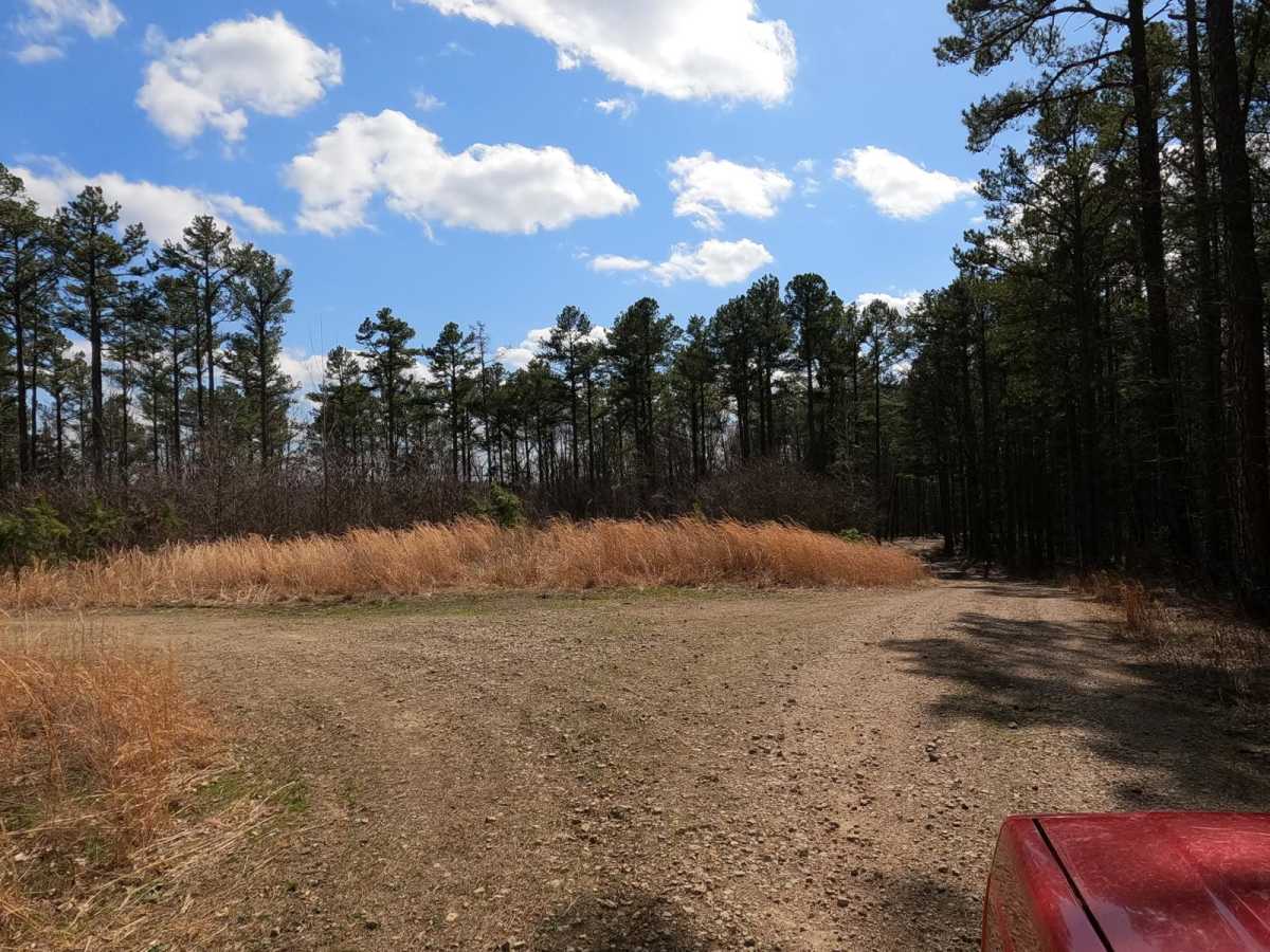
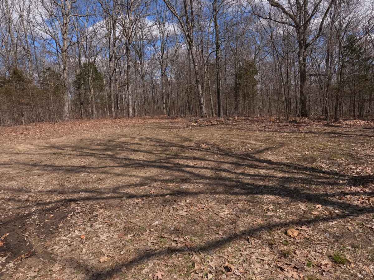
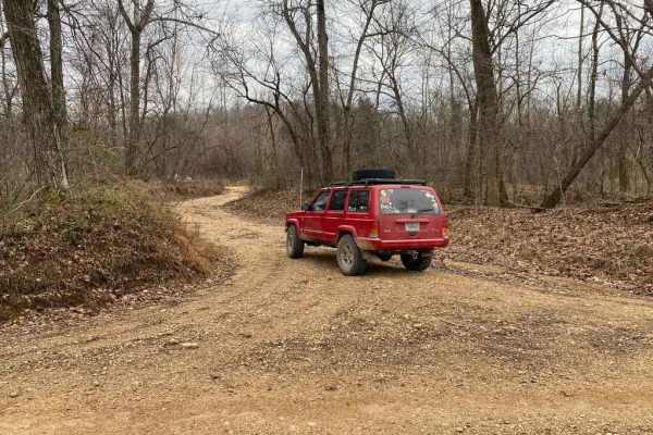
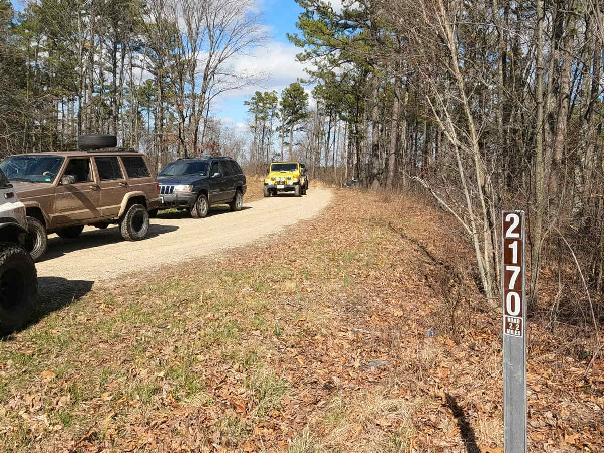
Johns Creek FSR 2170 is a half gravel half dirt forestry route through the northeasternmost section of Mark Twain National Forest, which resides in lower Ste Genevieve County Missouri. The trail is focused on being a hunting destination, full of campsite cutouts amongst the tall pines, and is generally a smooth easy going road. It does still have a subtle offroad element to it. Over the 2.1 miles, there is a general downhill grade into the lower valley that hosts Johns Creek, though the road never makes it to the creek itself. The road features deep potholes, mild water collection spots, mild ruts, and a road that seems to fade to dirt in many spots. At the end of the road, there is a decent turn-around loop to turn around even larger rigs and safely head back out.

Photos of Johns Creek FSR 2170

Difficulty

The main difficulty of this road is if it is wet, the spots that fade to dirt can become soft and slick when wet but should be easy to navigate as long as you are mindful of the potholes that are deceptively deep. The rest of the difficulty is the common Forest Service Road scenarios, being gravel mounding, mild water collection spots, and washboarding. The road is scenic and generally a breeze to drive.

Technical Rating

2

Status Reports

Add Status Report
Sammy
Apr 20, 2026
2024 Jeep Grand Cherokee
Open
NormalMuddy/Wet
Trail had lots of mud holes along the route. Good scenic route.
Michael E
May 26, 2025
2016 GMC Canyon
Open
Muddy/Wet
Good scenic trail. 4x4 not needed. lots of mud potholes if you like to have that look lol. fun little trail. do not recommend going any faster than 10mph. lots of blind corners.
Tom Huck
Sep 07, 2024
2024 Toyota Tacoma
Open
Normal
mike s
Jul 22, 2023
Obstructed
Downed Tree

Johns Creek FSR 2170 Trail can be accessed by the following ride types:

  • High Clearance
  • Full Width

Johns Creek FSR 2170 Map

The onX Offroad Difference

onX Offroad combines trail photos, descriptions, difficulty ratings, width restrictions, seasonality, and more in a user-friendly interface. Available on all devices, with offline access and full compatibility with CarPlay and Android Auto. Discover what you're missing today!

Open Trail Map