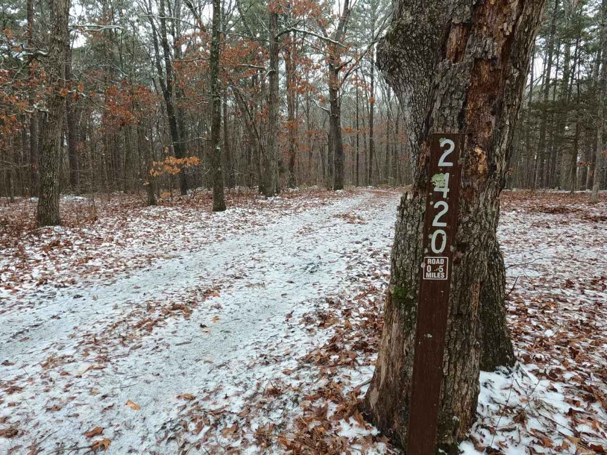
Trail Overview
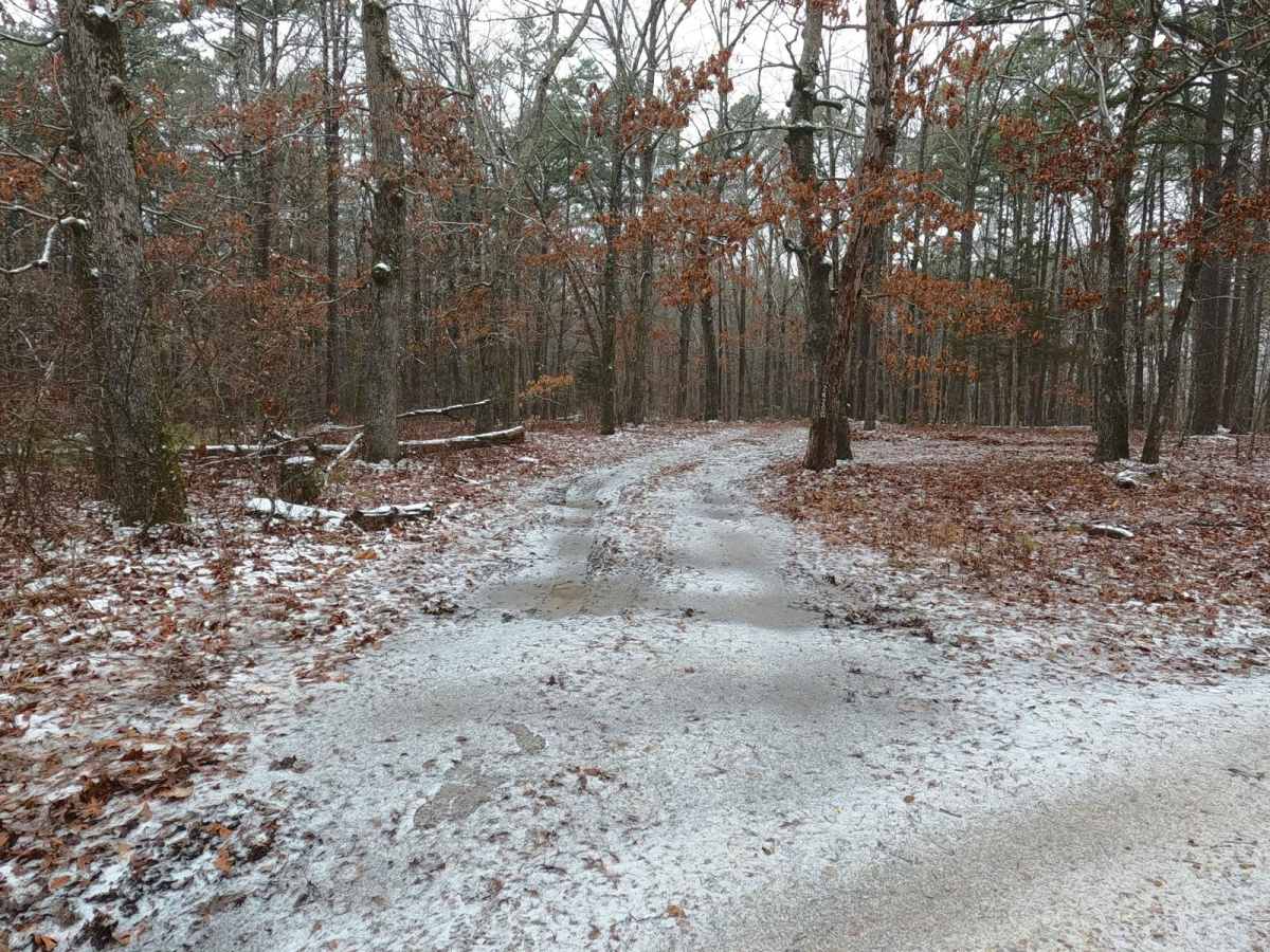
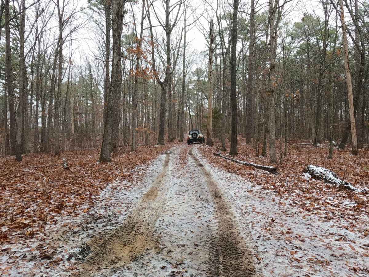
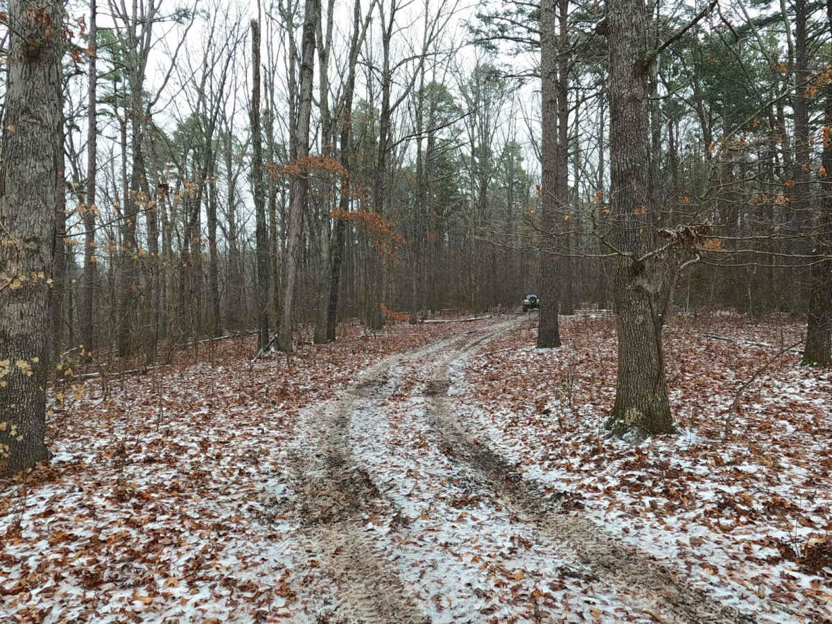
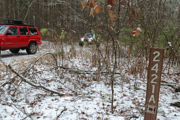
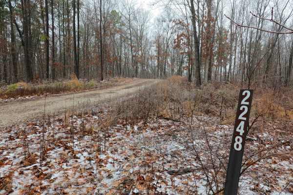
Lost Meridian FS 2420, is a natural improved trail within the Grassy Hollow Road area of the Potosi Unit of Mark Twain National Forest. The trail terrain leans into the natural from the entry, consisting of a coarse gravel and dirt mix, having tight trees, mild water collection holes, mud rut sections, and in wet conditions can have surface mud throughout. The trail comes to an end at a fork, shortly blocked by trees in both directions, giving enough room to comfortably make a three-point turn, with up to 3-4 rigs, to head back out the way it was entered. The Meridian that was Lost is now found.
Difficulty
The Lost Meridian FS 2420, takes the level of the FS 2421, and notches it a bar higher, given a base rating of 3/10, earned through the mud ruts (6-12" deep) and mild water collection holes (up to 12" deep) that are on the track, paired with subtle unlevel trail side to side, tight trees, fallen trees obstacles, and potential surface mud throughout. Difficulty could decrease in deep summer when the trail dries completely out or increase in extreme wet/snowy conditions, lack of maintenance, or overuse.
History
An old 1958 topo map from Shirley, Missouri, and the surrounding area shows a north/south grid line crossing through the center of the FS 2421 and FS 2421A labeled as the "Fifth Principal Meridian", which is a land survey line that was created after the 1803 Louisiana Purchase, first being surveyed in 1815, and as of 2025 is still used as the official land survey line in 6 states, 4 of which are statewide, and 2 partially used. Thus the meaning behind the trail name Meridian. It only gets deeper with the FS 2420 being named Lost Meridian, using the nearby Lost Creek, adding even more influence from the surrounding Fifth Principal Meridian area to make that name unique yet similar.