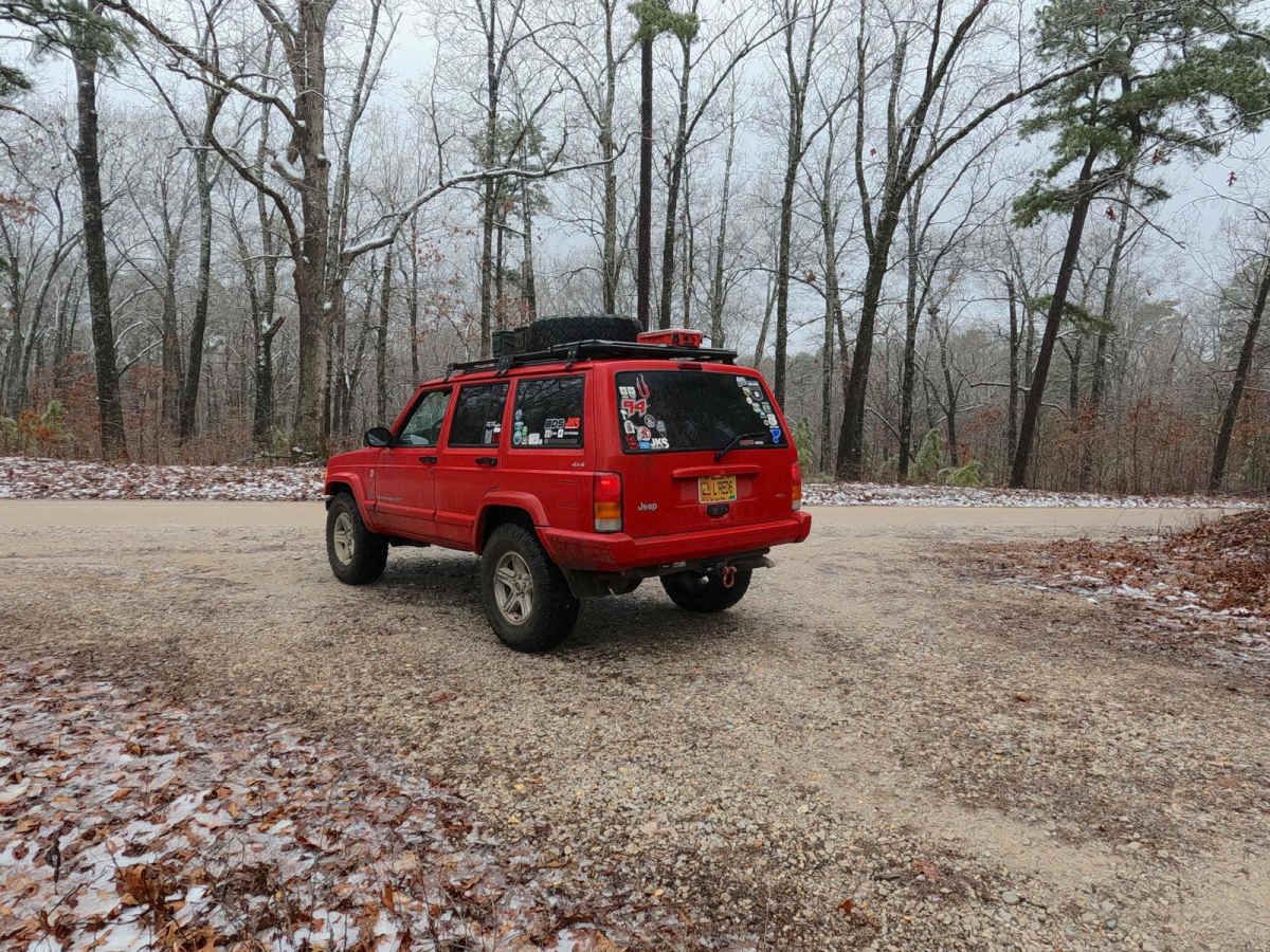
Trail Overview
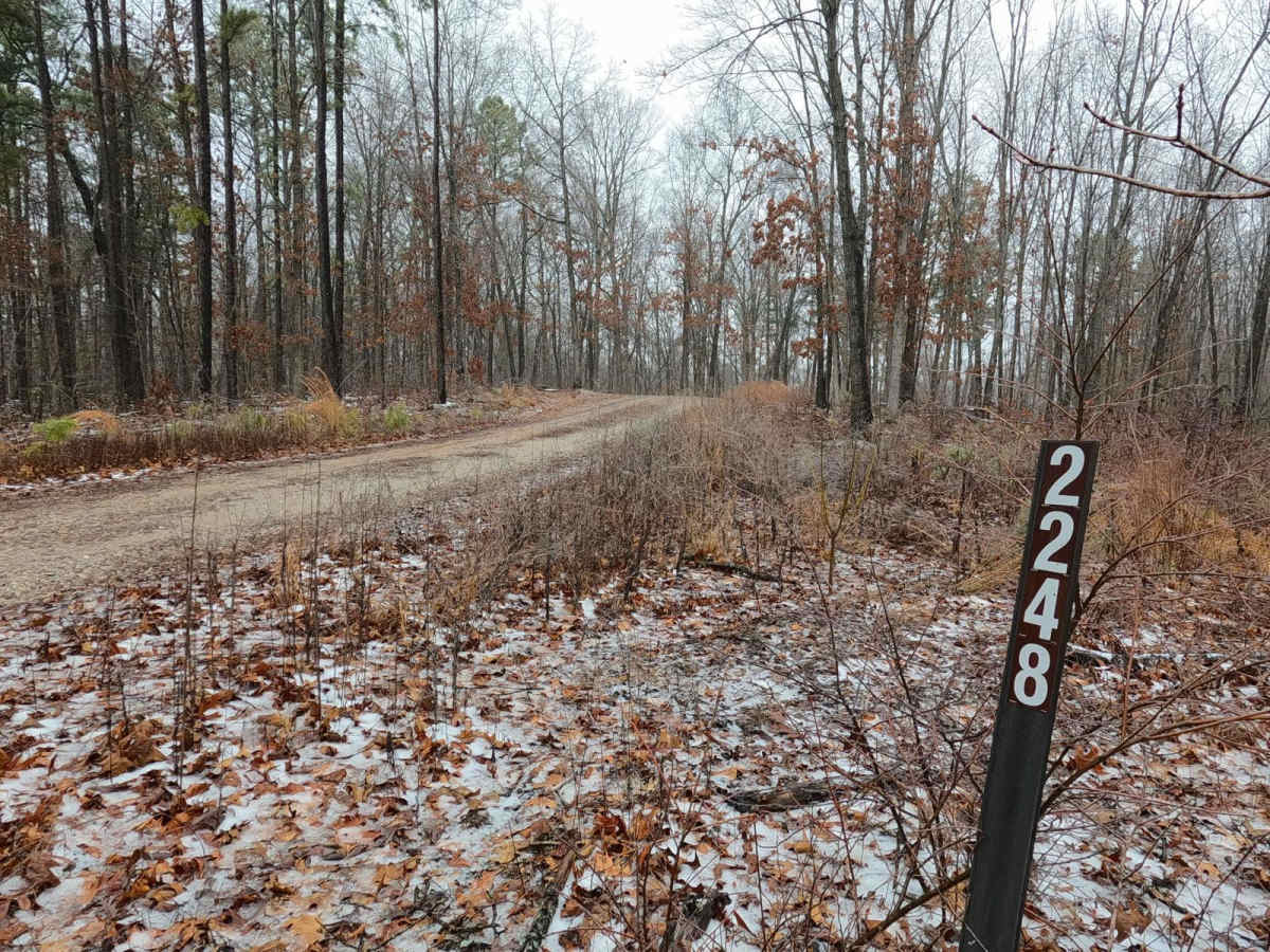
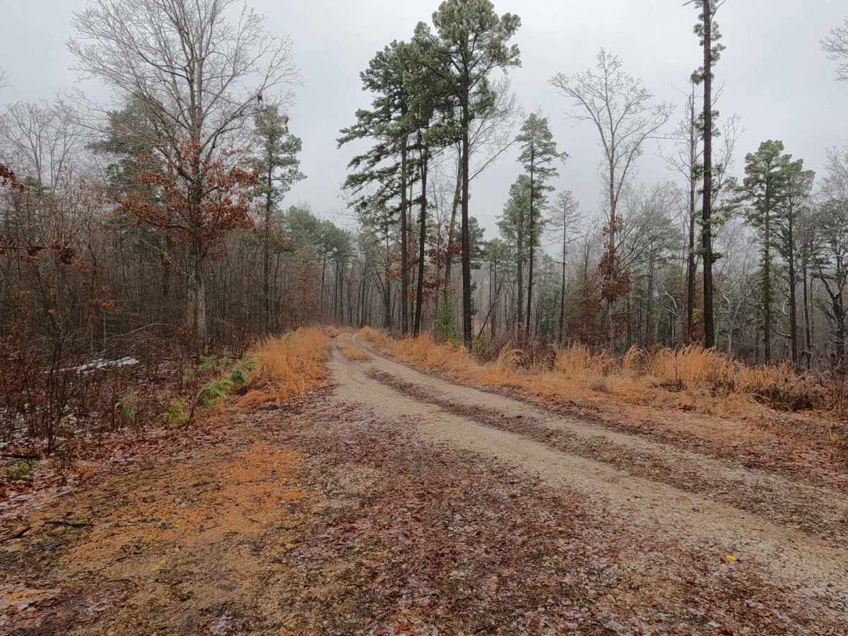
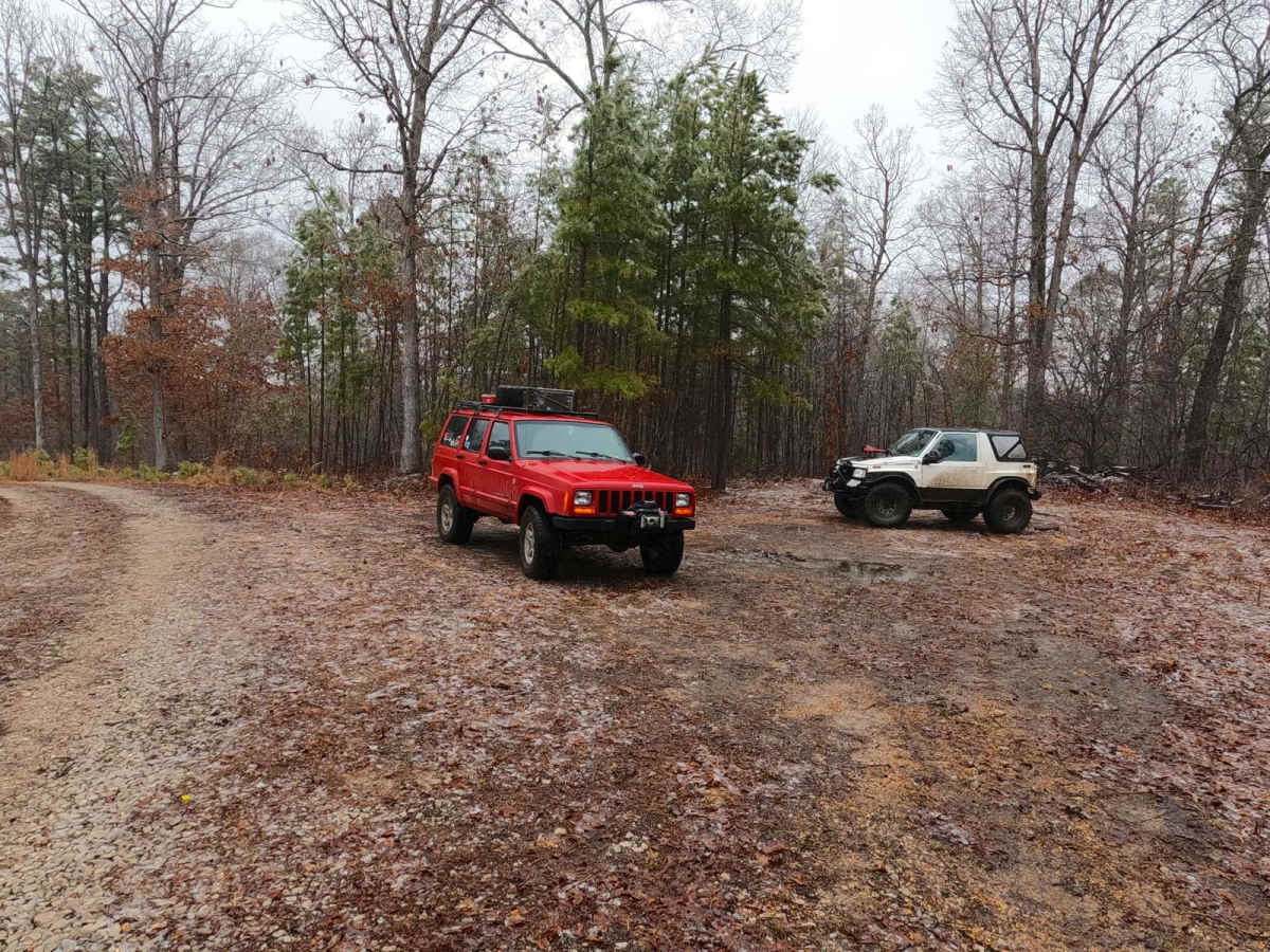
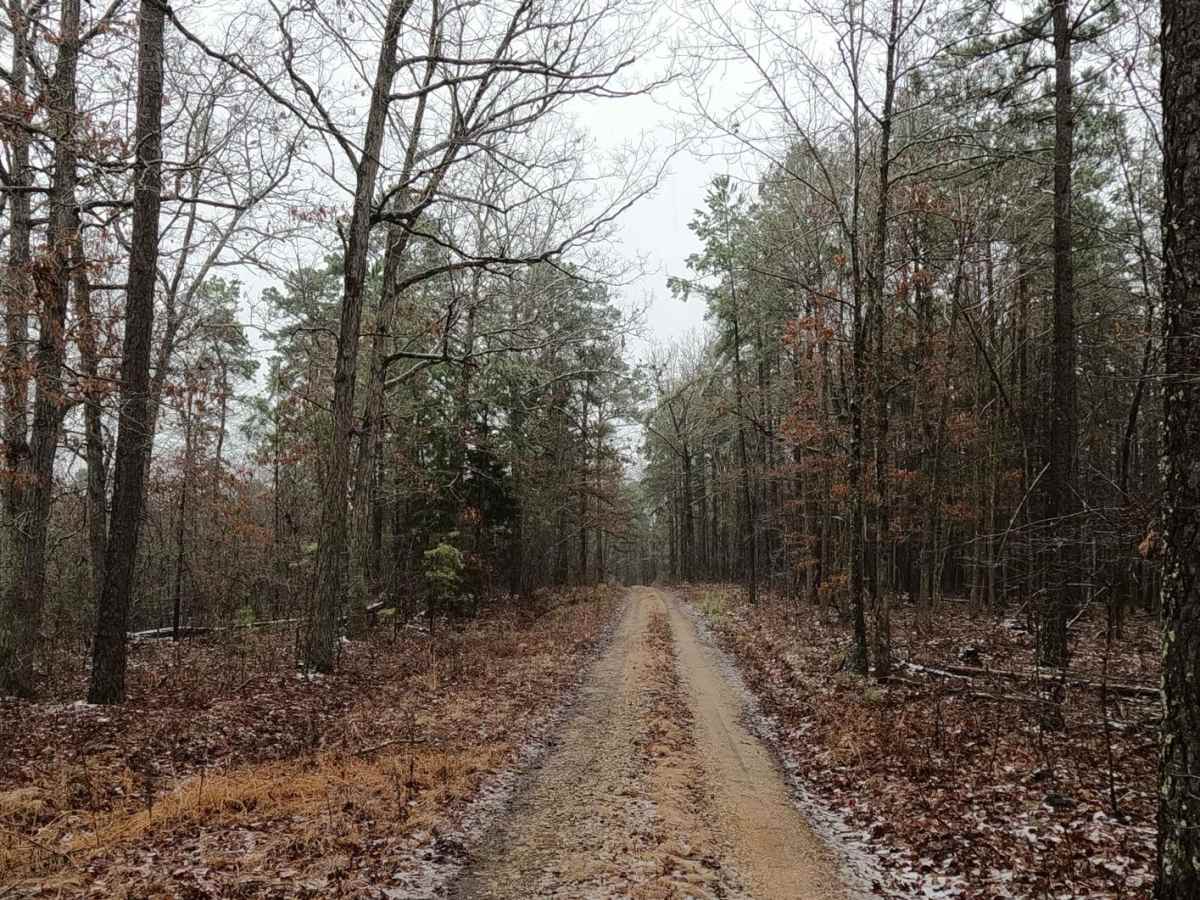
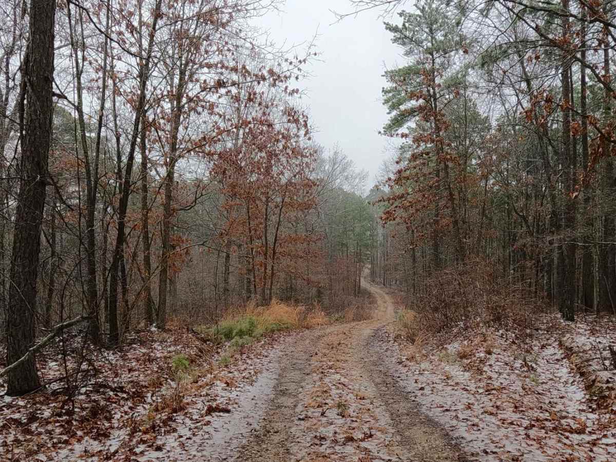
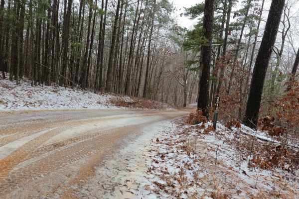
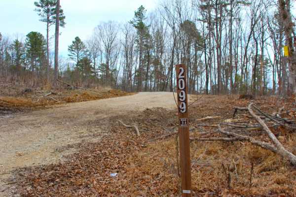
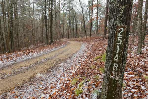
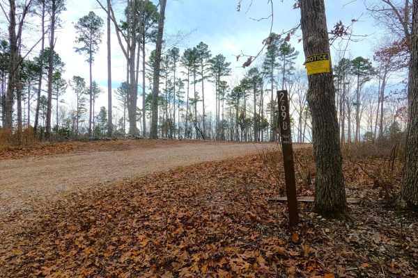
Criswell FS 2248, is a gravel road within the Pigeon Roost Road area of the Potosi Unit of Mark Twain National Forest. The road starts coming off the Pigeon Roost Road, following a ridge going northward from the main ridge Pigeon Roost follows. Ultimately, the road has obvious signs that it has recently been forested for timber, having newer chat for the road surface and open clearing in the treelines on both sides of the road, and midway, there is a small campsite cutout. The road shortly ends at the power line tract, with a gate blocking the remainder of the trail going north. At the power lines there is a turn-around area to use, to then head back the way the track was entered.
Difficulty
The FS 2248 is given a base rating of 1/10 for having a generally maintained gravel road, only featuring mild grades going downhill towards the power line tract. Expect the normal gravel complications of washboarding, potholes, and mounding of gravel. In wet conditions, small water collection can occur, but it is nothing more than a splash, only in extreme cases would difficulty increase.
History
Criswell FS 2248, points northward (past its ending) towards an old cemetery off Missouri Route 8, named Criswell Cemetery, at least it was called this in older Berryman, MO topos up to as late as 1999. But in the 2011 topo of Berryman, MO the name was updated to Cresswell, for which it remained spelled this way through the 2015 and 2017 updates, but in the 2021 topo update had another change to the Cresswell-Matthews Cemetery. This cemetery is on private land roughly at 37.91, -91.034.