Trail Overview
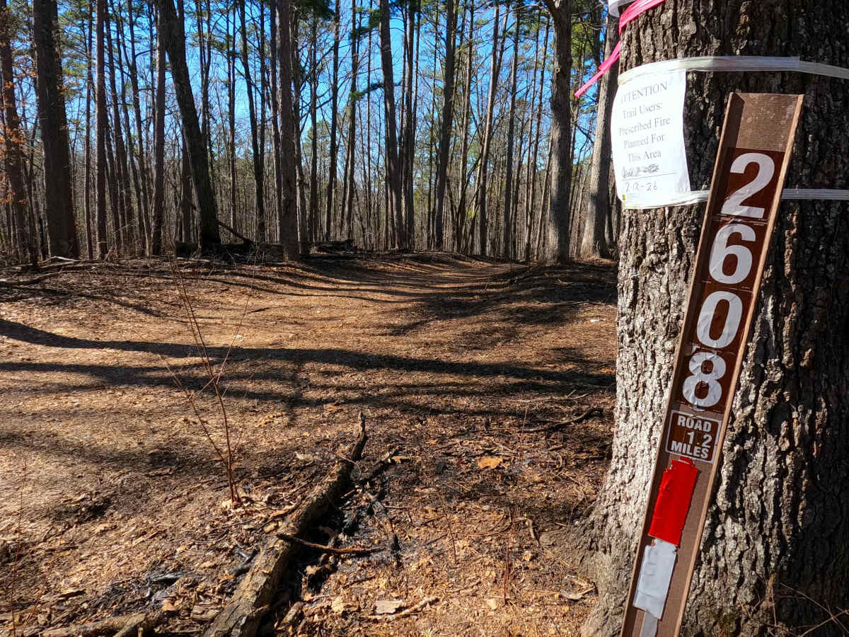
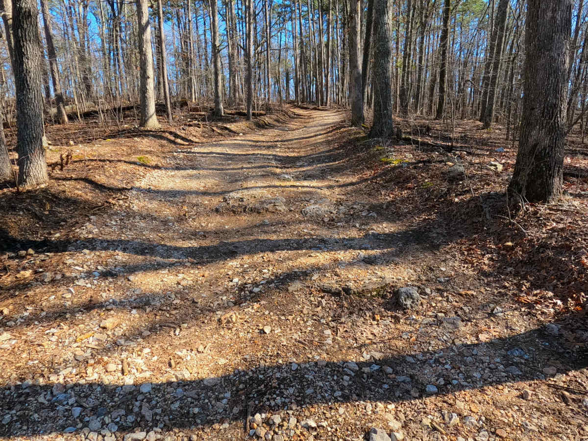
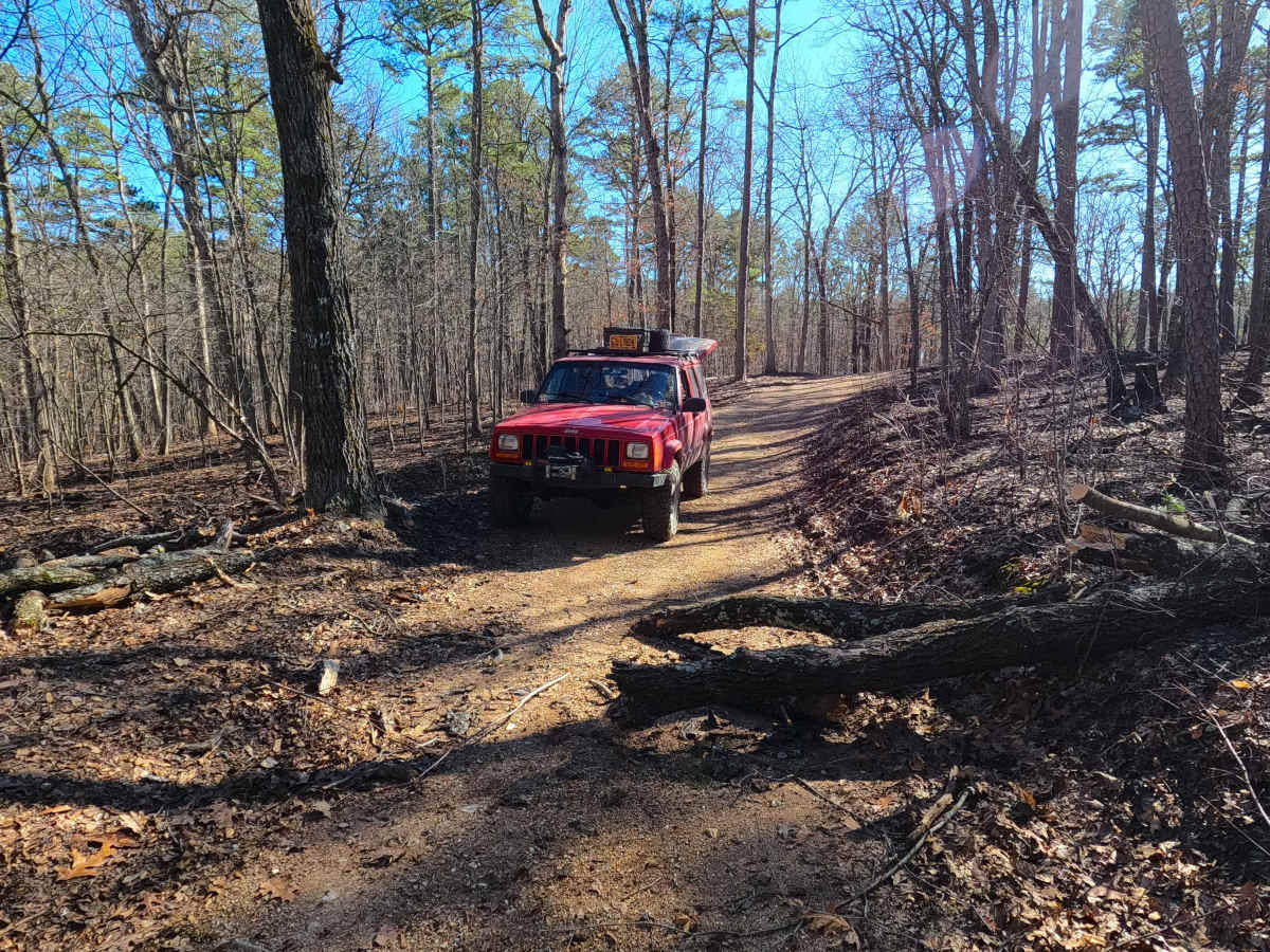
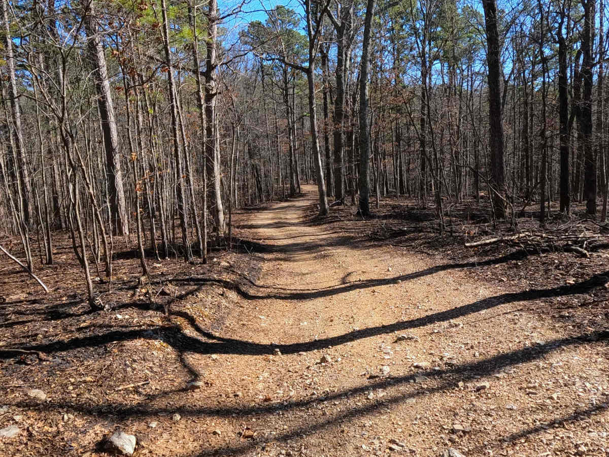
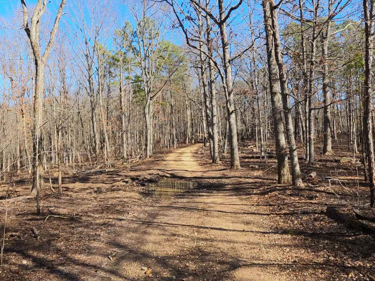
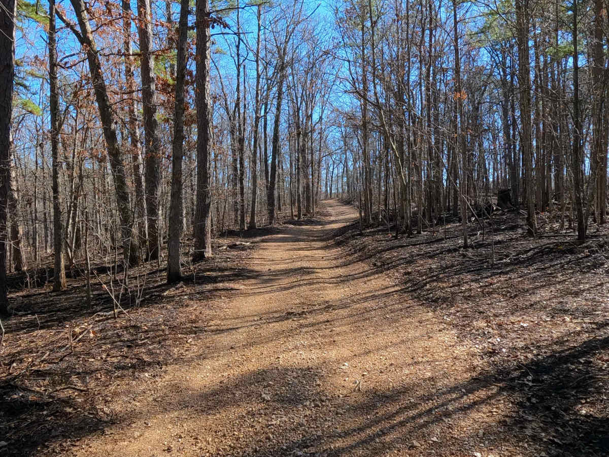
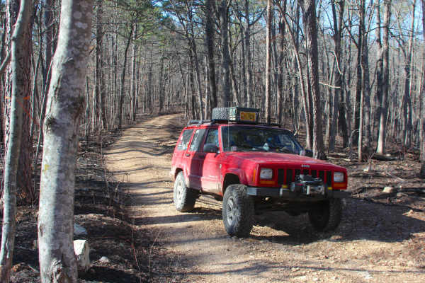
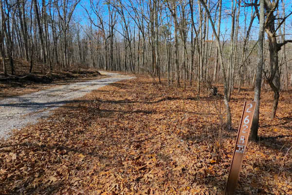
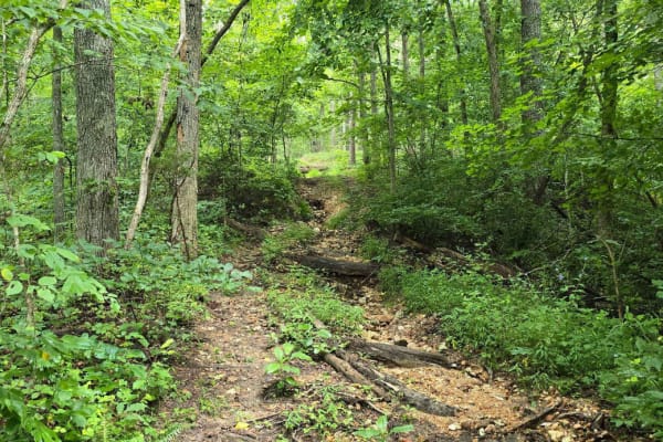
Billy's Branch (FS 2608) is a natural dirt and gravel road within the Potosi Unit of Mark Twain National Forest. The road begins at Berryman Road and the upper ridge it rests on, heading northwest, going downhill, crossing over natural rock poking out of the surface, with mild rutting to meet a smaller flat section of the track featuring natural cobbles scattered over the mostly dirt path. The track transitions back to mostly downhill grades for the remainder of the track, encountering small water collection holes, surface mud, passing a crossing of the Ozark Trail (hiking) at 0.9 miles, and a notable pond at the 1 mile mark, before hitting the slightly steeper grade featuring decent rutting along the path of the trail, to the ending of the MVUM sanctioned road, marked by an large opening, where users must turnaround and head out the way they came. Just to the northwest of this opening is a short pathway leading to a closed green gate.
Difficulty
Billy's Branch is given a base rating of 2/10 for being a dirt and natural gravel road with mild erosion rutting along the mildly graded hills, surface mud, natural rock poking out at the surface, and several small water collection spots. It is safe to expect potholes, washboarding, and other basic dirt and natural gravel road complications. Difficulty can increase in times of wet conditions, heavy use, and through a lack of maintenance. The difficulty could also decrease if the road were to be given a solid gravel surface throughout.