
Beginner Off-Road Trails
Near Borrego Springs, California
Explore All Beginner Trails Near Borrego Springs, California
Beginner Off-Road Trails Near Borrego Springs, California
Discover the best beginner-friendly off-road trails near you. These easier, lower-rated trails are a great place to start — browse trail maps, check difficulty ratings, and find your next adventure.
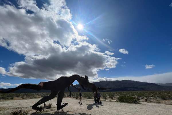
Hidden Dinosaurs
This trail leads to two dinosaur sculptures that are often missed by visitors to the area due to the fact that the sculptures are located farther off the highway and unless you know about these sculptures you won't be able to find them. The dinosaurs are made of metal and are about 12-15 ft high. Pa...
Learn more about Hidden Dinosaurs
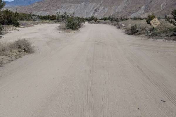
Coyote Canyon Road
This 10-plus-mile out-and-back trail is located in Anza Borrego State Park and is part of the wildflowers tour, taking you into Coyote Canyon. Only highway legal vehicles are allowed on this route. The surface is super fine sand and is 1.5 to 2.5 vehicles wide in most places, providing good room for...
Learn more about Coyote Canyon Road
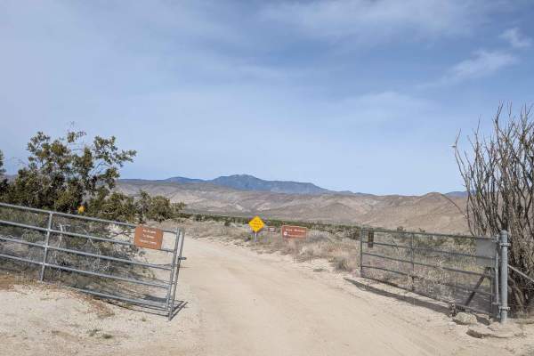
Horse Camp Road
This trail is located in Anza Borrego State Park and features a sand and some gravel surface that's two vehicles wide, providing comfortable navigation. The route is surrounded by mountain views in all directions as you traverse the desert. It cuts through the desert, lined with many desert flora, c...
Learn more about Horse Camp Road
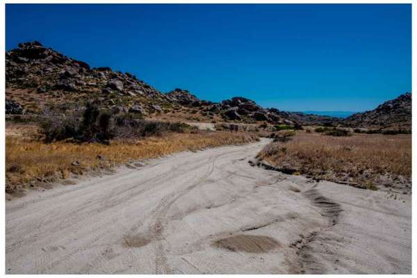
Old Culp Valley Road
The Old Culp Valley Road is a road that travels along the border of the Culp Valley Preserve in Anza Borrego State Park. The road is 4 miles from the trailhead to the junction of the Jasper Trail; although you can travel to the end, you will leave the Anza Borrego State Park and enter private proper...
Learn more about Old Culp Valley Road
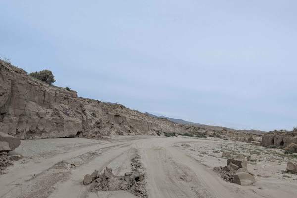
Dump Wash Lateral
This trail starts just off Dump Wash Trail and runs through a fairly wide wash, though the actual track is only 1 to 1.5 vehicles wide. The route is lined with mud walls, many of which have collapsed, creating obstacles and navigation challenges. Although the trail goes for miles, it is shortened be...
Learn more about Dump Wash Lateral
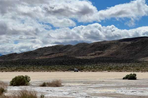
Clark Dry Lake
This hidden gem is part of Anza Borrego Desert State Tark. From the Boreggo Salton Seaway turn into Rockhouse Canyon Road. The sign at the intersection says "no exit" but the road is long and leads to a beautiful hidden dry salt lake bed which is located at an offshoot from the main trail. The road ...
Learn more about Clark Dry Lake
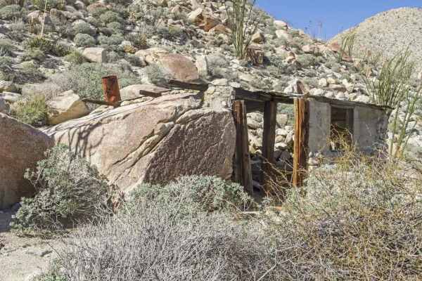
Rockhouse Canyon Road
Rockhouse Canyon Road is a 19.8-mile out-and-back trail rated 3 of 10 within the California Anza-Borrego Desert State Park. The trail is restricted to street-legal vehicles. The trail starts at the end of the Clark Dry Lake featured trail and continues for 9.9 miles, at which point the motorized tra...
Learn more about Rockhouse Canyon Road
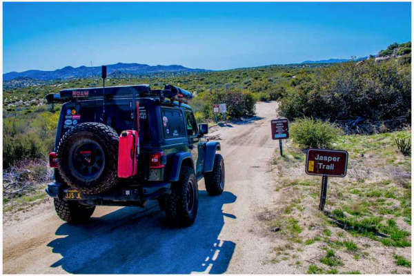
Jasper Trail
The Jasper Trail, a 5.2-mile dirt road, traverses the border of the Anza-Borrego Desert State Wilderness. It stretches north-south from Highway 22, known as “Montezuma Valley Road,” to Grapevine Canyon Road. The trail is composed of sand and gravel, primarily granite, which characterizes the desert ...
Learn more about Jasper Trail
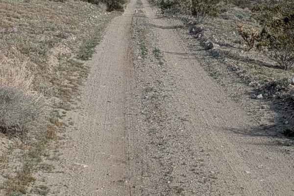
Truckhaven Trail West
This trail starts just off Highway 22 and travels parallel to it, ending around 4 miles later at the Mile High Mountain Trailhead next to Highway 22. The trail is fairly straight but climbs almost 300 feet as it gains elevation. The surface is mostly fine sand, which can be deep in a few sections, r...
Learn more about Truckhaven Trail West
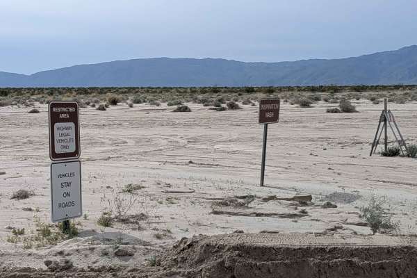
Inspiration Wash Road
This very large and wide sandy wash is located within Anza Borrego State Park and is restricted to highway legal vehicles only. The trail continues on the north side of Highway 22, but was closed at the time. From Highway 22 going south, after mile 1.5, the wash gets narrower and starts winding back...
Learn more about Inspiration Wash Road
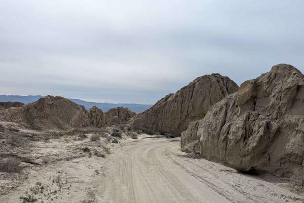
Dump Wash
This one-vehicle-wide trail starts at the end of Inspiration Wash and cuts and winds through a very sandy wash with lots of mud walls lining the trail throughout. You will have to cut in and out of the wash on steep walls due to collapsed mud walls in the wash, creating mandatory detours and technic...
Learn more about Dump Wash
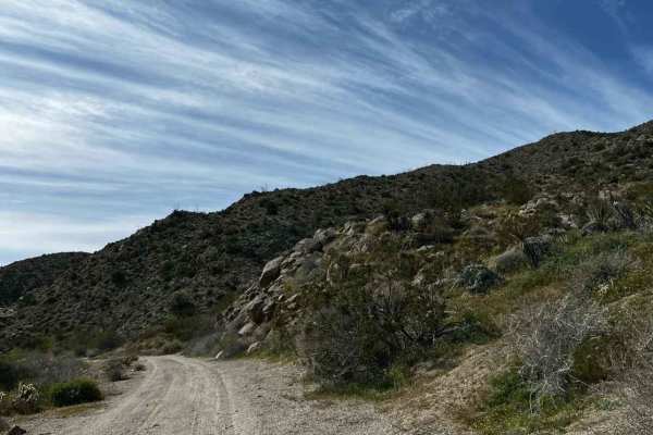
Grapevine Canyon Trail
The trail is mainly hard-packed dirt and some sand once in the canyon. This trail passes through private property and has signs around the area, so just be respectful when driving through the first 4 miles of the northern section of the trail. The rest of the trail goes through the Anza-Borrego Dese...
Learn more about Grapevine Canyon Trail
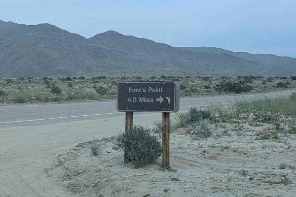
Fonts Point Wash
Fonts Point Wash is an ideal route for four-wheel-drive vehicles seeking a straightforward but scenic desert adventure that culminates in one of California’s most iconic panoramic vistas. Spanning just over four miles from the Borrego Salton Seaway (Highway 22) in Anza-Borrego Desert State Park, thi...
Learn more about Fonts Point Wash
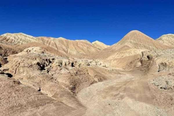
Rainbow Wash
Rainbow Wash is a 6.2-mile out-and-back trail rated 3 out of 10 located within the Anza-Borrego Desert State Park. The Rainbow Wash trail will take travelers deep into the Borrego Badlands. Most people view the badlands from Fonts Point. Rainbow Wash ends right below Fonts Point. The trail runs up o...
Learn more about Rainbow Wash
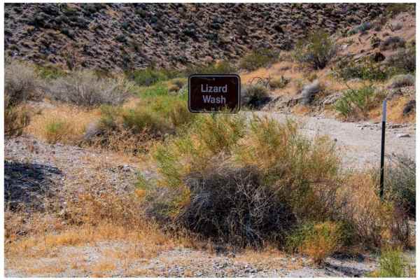
Lizard Canyon
Lizard Canyon is a 1.5-mile out-and-back trail that offers excellent scenery and photography opportunities despite its short length. It starts at an elevation of 1539 feet and ends at 2012 feet, a gain of 476 feet. The trail parallels Lizard Wash, which is located within the canyon and is marked as ...
Learn more about Lizard Canyon
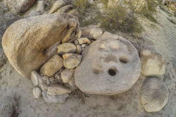
Mine Wash
Mine Wash is a 9.6-mile out-and-back trail rated 3 of 10 within the California Anza-Borrego Desert State Park. The state park is a "Stay the Trail" area and the trail is restricted to street-legal vehicles. Although the trail can be driven 4.8 miles into the Pinyon Mountains to a turnaround point, m...
Learn more about Mine Wash
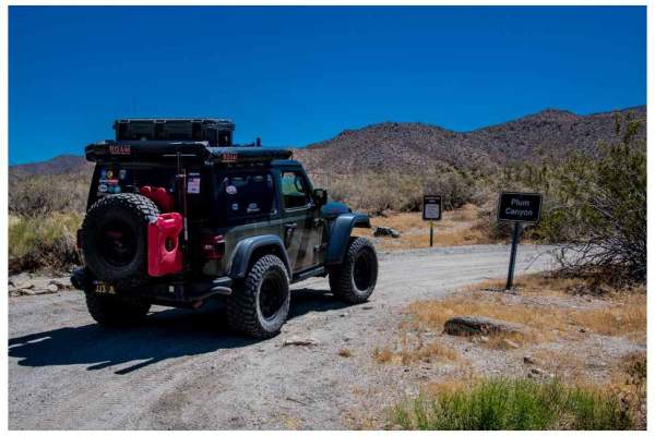
Plum Canyon Road
Plum Canyon Road is an out-and-back trail offering scenic vistas. The road’s surface comprises smooth sand and granite. The primary road stretches 1.8 miles, with a spur trail leading to the trailhead of the California Riding & Hiking Trail. The main trail terminates at a dead end, ideal for camping...
Learn more about Plum Canyon Road
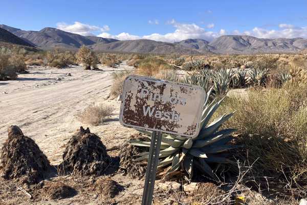
Pinyon Canyon
This is an out-and-back trail to a dead-end canyon that begins off Highway 78 next to an Emergency Callbox station. It starts out as a hard-packed, narrow dirt road, which remains fairly level over the full length of the trail. There are occasional patches of shallow sand and stretches of washboard....
Learn more about Pinyon Canyon
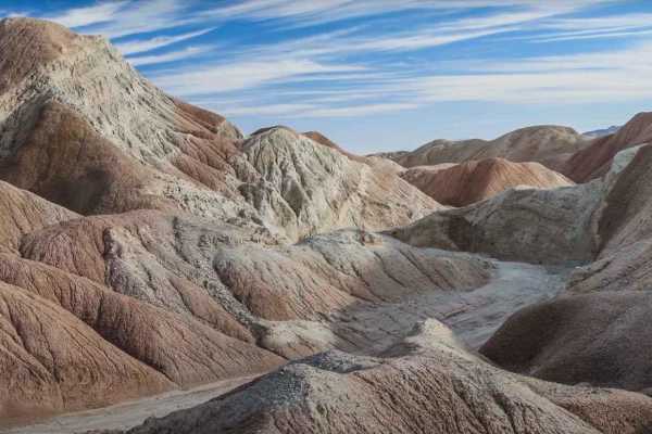
Hills of the Moon
Hills of the Moon is a 6.2-mile out-and-back trail rated 3 out of 10 located within the Anza-Borrego Desert State Park. The Hills of the Moon trail will take travelers deep into the Borrego Badlands. Most people view the badlands from Fonts Point. Hills of the Moon will provide a unique view of Font...
Learn more about Hills of the Moon
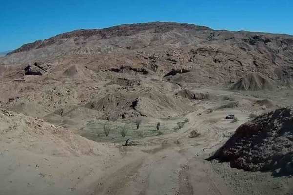
Borrego Mountain Wash
Borrego Mountain Wash is a 4.3-mile point-to-point trail rated 3 of 10 located within the California Anza-Borrego Desert State Park (ABDSP). Trails within the ABDSP are restricted to street-legal vehicles. Borrego Mountain Wash is a north/south running trail. The south end starts 1 mile north of Hig...
Learn more about Borrego Mountain Wash
Beginner ATV trails near Borrego Springs, California
Explore ATV-friendly trails near you. These trails are accessible for vehicles up to 50 inches wide, perfect for ATVs and smaller off-road machines.
Hidden Dinosaurs
This trail leads to two dinosaur sculptures that are often missed by visitors to the area due to the fact that the sculptures are located farther off the highway and unless you know about these sculptures you won't be able to find them. The dinosaurs are made of metal and are about 12-15 ft high. Pa...
Learn more about Hidden Dinosaurs
Coyote Canyon Road
This 10-plus-mile out-and-back trail is located in Anza Borrego State Park and is part of the wildflowers tour, taking you into Coyote Canyon. Only highway legal vehicles are allowed on this route. The surface is super fine sand and is 1.5 to 2.5 vehicles wide in most places, providing good room for...
Learn more about Coyote Canyon Road
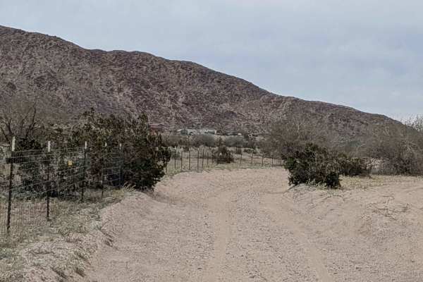
Quarry Road
This trail is part of the Ocotillo Wells OHV area, where all vehicles are allowed with proper documentation. The surface is sandy with a little gravel, and the trail is full of whoops and washboards that will keep your suspension working throughout. The route runs along a fence line marking the boun...
Learn more about Quarry Road
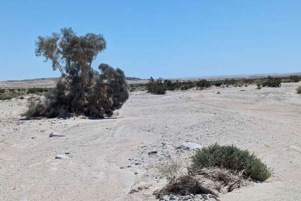
Bank Wash
Welcome to the Ocotillo Wells State Vehicle Recreational Area, the largest SVRA in California with more than 85,000 acres. OWSVRA is over 130 square miles with hundreds of miles of desert track open to all forms of off-highway vehicles. The SVRA borders the Anza-Borrego Desert State Park with many o...
Learn more about Bank Wash
Beginner UTV/side-by-side trails near Borrego Springs, California
Find UTV and side-by-side trails near you. These trails accommodate vehicles up to 60 inches wide, ideal for UTVs, side-by-sides, and wider off-road rigs.
Hidden Dinosaurs
This trail leads to two dinosaur sculptures that are often missed by visitors to the area due to the fact that the sculptures are located farther off the highway and unless you know about these sculptures you won't be able to find them. The dinosaurs are made of metal and are about 12-15 ft high. Pa...
Learn more about Hidden Dinosaurs
Coyote Canyon Road
This 10-plus-mile out-and-back trail is located in Anza Borrego State Park and is part of the wildflowers tour, taking you into Coyote Canyon. Only highway legal vehicles are allowed on this route. The surface is super fine sand and is 1.5 to 2.5 vehicles wide in most places, providing good room for...
Learn more about Coyote Canyon Road
Quarry Road
This trail is part of the Ocotillo Wells OHV area, where all vehicles are allowed with proper documentation. The surface is sandy with a little gravel, and the trail is full of whoops and washboards that will keep your suspension working throughout. The route runs along a fence line marking the boun...
Learn more about Quarry Road
Bank Wash
Welcome to the Ocotillo Wells State Vehicle Recreational Area, the largest SVRA in California with more than 85,000 acres. OWSVRA is over 130 square miles with hundreds of miles of desert track open to all forms of off-highway vehicles. The SVRA borders the Anza-Borrego Desert State Park with many o...
Learn more about Bank Wash
The onX Offroad Difference
onX Offroad combines trail photos, descriptions, difficulty ratings, width restrictions, seasonality, and more in a user-friendly interface. Available on all devices, with offline access and full compatibility with CarPlay and Android Auto. Discover what you're missing today!
Open Trail Map