
Beginner Off-Road Trails
Near Berkeley Springs, West Virginia
Explore All Beginner Trails Near Berkeley Springs, West Virginia
Beginner Off-Road Trails Near Berkeley Springs, West Virginia
Discover the best beginner-friendly off-road trails near you. These easier, lower-rated trails are a great place to start — browse trail maps, check difficulty ratings, and find your next adventure.
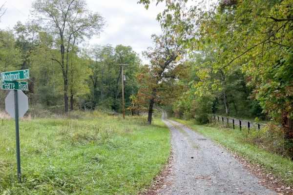
Pearre Road
This is a scenic gravel/dirt drive along the Potomac River! This is one road you'd truly never know existed if you didn't find it on a map. The route begins paralleling the C&O Canal trail, but briefly diverts as it winds up and over some of the gnarly topography of this region. At one point, the ro...
Learn more about Pearre Road
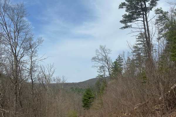
Alleghany Line Road
This is an out and back trail on the outskirts of Green Ridge State Forest, leading to a wildlife management area. The trail is generally one vehicle wide, but not tight enough for pinstripes. There are mild washouts as well as steep inclines/ declines which could be an issue if running this in wint...
Learn more about Alleghany Line Road
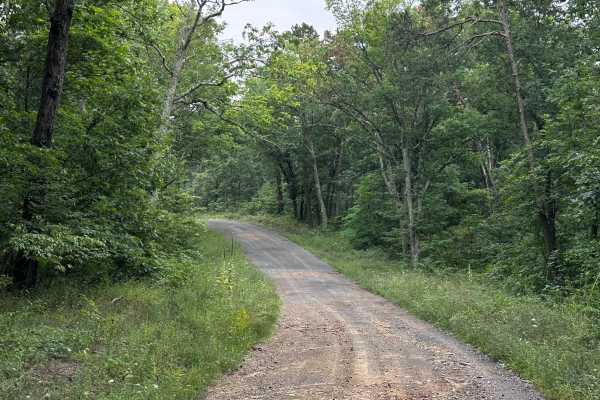
Hoop Pole
A short connecting route on the outskirts of Green Ridge State Forest. You will encounter some dirt sections , sections of golfball sized rocks, and minor ruts. There are a few steep sections that could cause issues with 2wd vehicles if snow or ice is present. There are 2 dispersed camp sites on the...
Learn more about Hoop Pole
Younkers Bottom Road
This is an easy drive with some washout ruts but very passable. Some gravel spots but mostly dirt with a few pull-offs along the way. There's a very nice camp spot at the end of this dead-end road with a turnaround area at the end. The road ends at a very scenic creek with walking trails along both ...
Learn more about Younkers Bottom Road
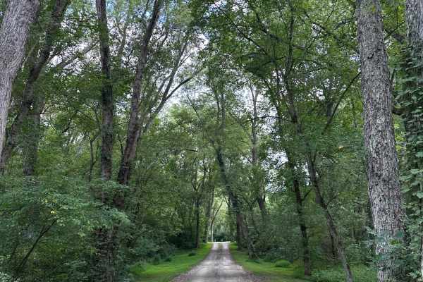
Bonds Landing
This is a maintained gravel road leading to Bonds Landing campground. There are 10 dispersed campsites, all equipped with a picnic table as well as a fire pit. All sites require a reservation, which can be made at the Green Ridge State Forest headquarters (28700 Headquarters Dr NE, Flintstone, MD 21...
Learn more about Bonds Landing
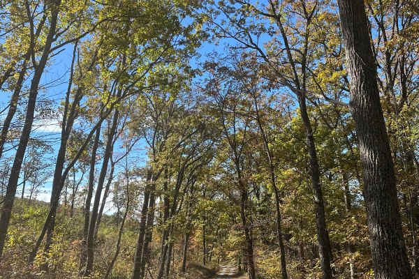
Tower Road
This trail consists of a few overlooks as well as an observation tower. You can begin the trail at Town Hill overlook, and down the mountain until you reach the intersection of Mountain and Cat Point Road. This is an extension of the already existing trail, “MD Green Ridge to Gorge”. Four-wheel driv...
Learn more about Tower Road
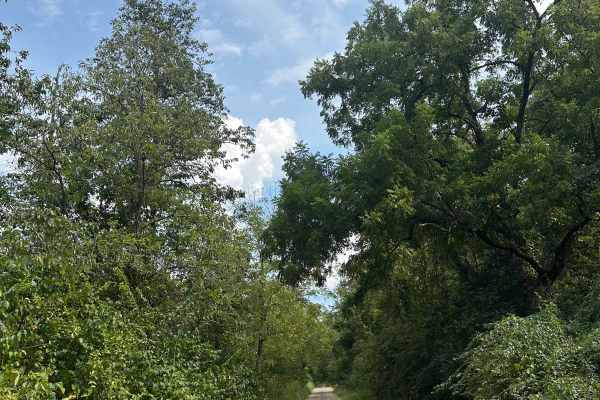
Kasecamp Loop
This is an unmaintained forest road running along the Potomac River in a loop, with access to numerous camp sites. It passes through Bonds Landing, which is an access road to the C&O Canal bike trail, as well as the Potomac River. The trail itself is a mix of small rocks and dirt, and 4WD is recomme...
Learn more about Kasecamp Loop
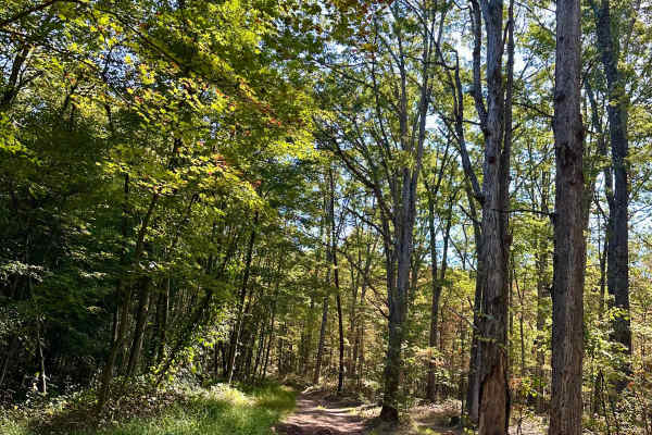
Howards Trail
This is a short but fun out-and-back trail off of Dug Hill Road, ending at a gated off field. The trail is all dirt, with numerous ruts and washouts. There are a few very secluded campsites along this trail. During the wet season, there are many mud holes and deep ruts. 4WD is recommended for this t...
Learn more about Howards Trail
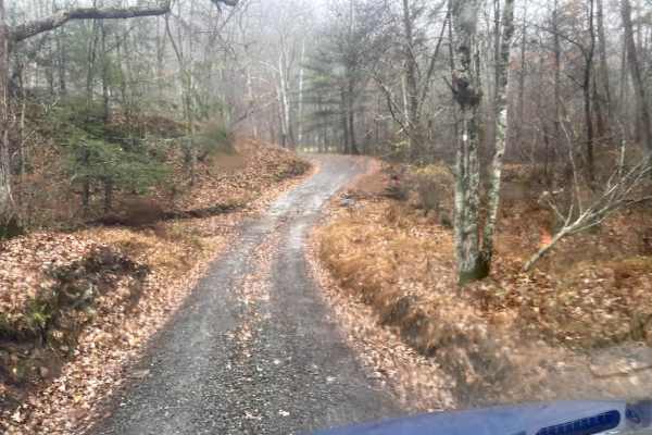
MD Green Ridge to Gorge Trail
This is a wide, freshly graded gravel road with massive incline changes. Portions of the trail can be steep at times. As you follow the gorge, you will pass the camp spots along the river. There are beautiful overlooks and multiple creekside camp spots. It is not recommended doing this trail in wint...
Learn more about MD Green Ridge to Gorge Trail
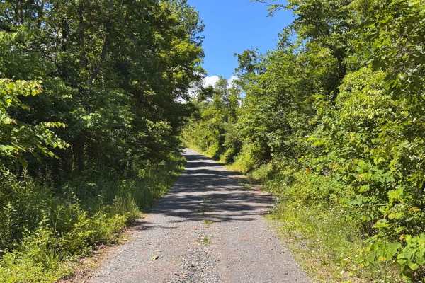
Moss Road - T-318
Moss road or T-318 cuts through the southern Game lands. Reaching elevations of 1166 Ft traversing the forest and meadows. There is no public camping allowed on this route. Several parking locations are along the trail. If coming from the south look for a sharp turn heading up a gravel road.
Learn more about Moss Road - T-318
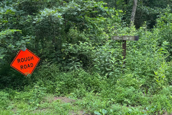
Outdoor Club Road
Outdoor Club Road in Green Ridge State Forest is a solid choice for beginners and casual overlanders looking for a low-stress forest drive with occasional challenges, while still offering enough variation to keep experienced drivers engaged. Running through the eastern side of the forest near the MD...
Learn more about Outdoor Club Road
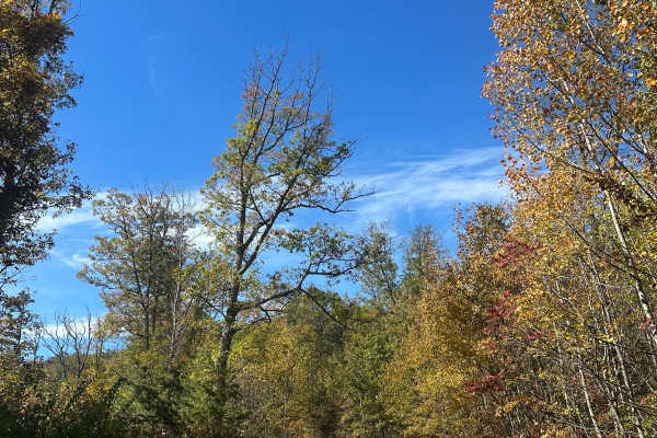
Mertens Mainline
This is a scenic route through Green Ridge State Forest. It features steep inclines and declines as well as mild ruts. At the top of this trail, you can find Banner Overlook with beautiful views, as well as group campsite seven. Four-wheel drive is recommended during the winter months as the incline...
Learn more about Mertens Mainline
Mertens Avenue
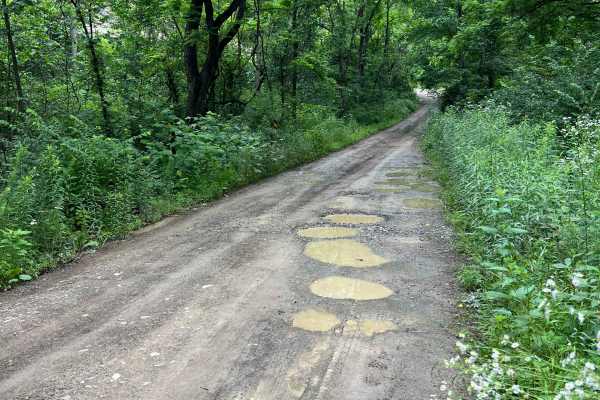
Named for the Merten family who owned orchards in this region during the late 19th and early 20th century, the majority of Mertens Avenue is a rough but generally well-maintained gravel road. The road surface is primarily rough rock in almost a cobblestone orientation, which can give a washboard-lik...
Learn more about Mertens Avenue
Have a Piclic
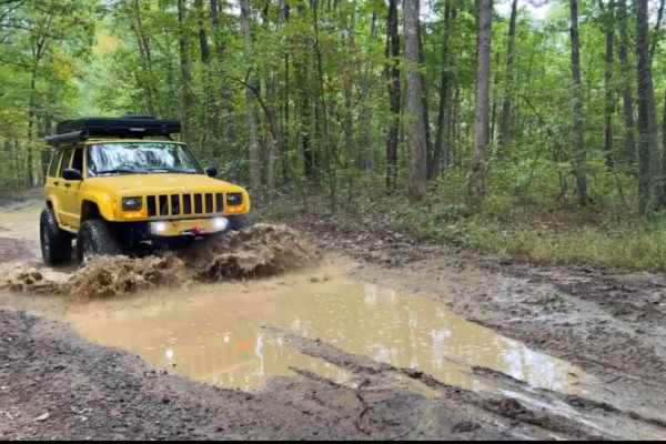
This is a fun rutted dirt climb with lots of puddles (none very mucky). This beautiful trail can be enjoyed by any vehicle with good tires and ground clearance, though the climb at the beginning could be very slick after a recent rain or snow! There are no real obstacles to speak of, other than pote...
Learn more about Have a Piclic
Double Pine
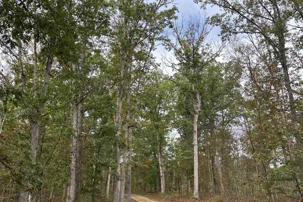
This trail is an unmaintained forest road consisting mainly of gravel and dirt. It is the connecting road from Old Cumberland Road to 15 Mile Creek Road. There are multiple dispersed camping sites along this road, as well as hunting options. 4WD is not required for this trail.
Learn more about Double Pine
Frankie Carpenter
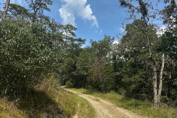
This gravel and dirt road connects Frank Davis Road with Carpenter Road on the northern side of Green Ridge State Forest. Dispersed camping sites are located along the route, and a swimming hole can be found at the intersection of Carpenter Road and 15 Mile Creek Road. Four-wheel drive is not needed...
Learn more about Frankie Carpenter
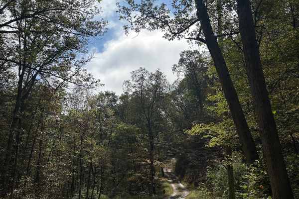
Treasure Road
This dirt and gravel trail runs through Green Ridge State Forest and includes a few small washouts along with several steep climbs and descents. Multiple dispersed campsites can be found along the route, and the area is popular for hunting. Four-wheel drive is only recommended during the winter mont...
Learn more about Treasure Road
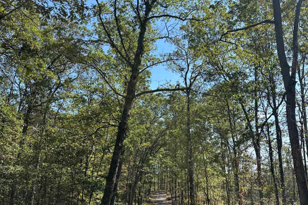
Gordon Road
This gravel and dirt trail connects Wallitzer Road to Mertens Avenue and features tight switchbacks along with overgrown vegetation during the spring and summer months. Wider vehicles may experience pinstriping. Four-wheel drive is recommended due to the inclines and declines, which can become slick...
Learn more about Gordon Road
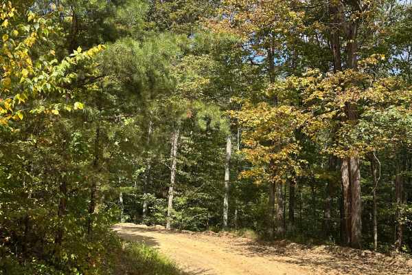
Perrin Road
This trail is a mainly dirt/gravel forest road. There are a few offshoots with dispersed camping sites and hiking options. During the winter months, 4WD is recommended due to the inclines and declines, which can be slick with snow or ice on the ground. During Spring, Summer, and Fall, this can be dr...
Learn more about Perrin Road
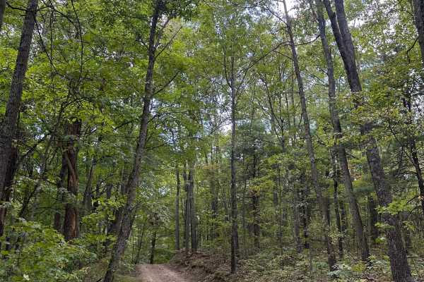
Raccoon Ridge
This trail is a short dirt road through Buchanan State Forest. This trail is all dirt and rock, and could be slick during the winter months as it is unmaintained. This trail is ideal for someone passing through Buchanan or anyone who is new to exploring the area. There are a few inclines and decline...
Learn more about Raccoon Ridge
Beginner ATV trails near Berkeley Springs, West Virginia
Explore ATV-friendly trails near you. These trails are accessible for vehicles up to 50 inches wide, perfect for ATVs and smaller off-road machines.
Moss Road - T-318
Moss road or T-318 cuts through the southern Game lands. Reaching elevations of 1166 Ft traversing the forest and meadows. There is no public camping allowed on this route. Several parking locations are along the trail. If coming from the south look for a sharp turn heading up a gravel road.
Learn more about Moss Road - T-318
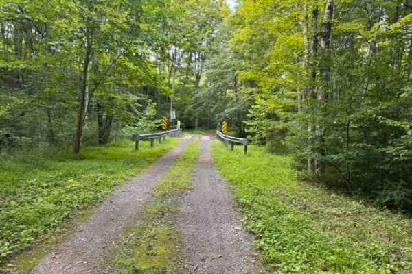
Howsare Road
A scenic single-lane stone and rock road winds gently through (Buchanan State Forest) Pennsylvania parkland, following a clear mountain stream beneath a canopy of hardwood forest. The route offers a relaxing drive, scattered rock features, and peaceful woodland views, making it ideal for stock 4x4s,...
Learn more about Howsare Road
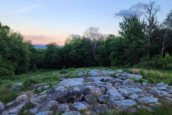
St. Johs Rock
This is a relaxing route in the panhandle of Maryland with good proximity to many Western Maryland parks and sites. When entering the trail from the north you will come across a campground about one mile in. You will need to reserve these campsites online ahead of time if you want to stay. At the re...
Learn more about St. Johs Rock

Coal Haul Road
The Coal Haul Road is a green trail that connects the Potomac River and North Hill Riding Areas of Wolf Den Run State Park. Wolf Den Run State Park has a good mix of green and blue, and black trails. It also has a slag pile playground. There are also a few narrow-width trails specifically just for S...
Learn more about Coal Haul Road
Beginner UTV/side-by-side trails near Berkeley Springs, West Virginia
Find UTV and side-by-side trails near you. These trails accommodate vehicles up to 60 inches wide, ideal for UTVs, side-by-sides, and wider off-road rigs.
Moss Road - T-318
Moss road or T-318 cuts through the southern Game lands. Reaching elevations of 1166 Ft traversing the forest and meadows. There is no public camping allowed on this route. Several parking locations are along the trail. If coming from the south look for a sharp turn heading up a gravel road.
Learn more about Moss Road - T-318
Howsare Road
A scenic single-lane stone and rock road winds gently through (Buchanan State Forest) Pennsylvania parkland, following a clear mountain stream beneath a canopy of hardwood forest. The route offers a relaxing drive, scattered rock features, and peaceful woodland views, making it ideal for stock 4x4s,...
Learn more about Howsare Road
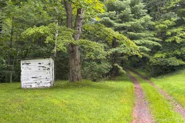
Reddinger Road
This scenic single-lane forest road meanders alongside a peaceful mountain stream through the heart of (Bedford County) Buchanan State Forest. Towering hardwoods provide a shaded canopy as the route follows the natural contours of the valley, offering a relaxing drive with beautiful woodland scenery...
Learn more about Reddinger Road
St. Johs Rock
This is a relaxing route in the panhandle of Maryland with good proximity to many Western Maryland parks and sites. When entering the trail from the north you will come across a campground about one mile in. You will need to reserve these campsites online ahead of time if you want to stay. At the re...
Learn more about St. Johs Rock
The onX Offroad Difference
onX Offroad combines trail photos, descriptions, difficulty ratings, width restrictions, seasonality, and more in a user-friendly interface. Available on all devices, with offline access and full compatibility with CarPlay and Android Auto. Discover what you're missing today!
Open Trail Map