Frankie Carpenter

Total Miles3.7
Technical Rating
1Easy
Best TimeSpring, Summer, Fall
Trail TypeFull-Width Road
Accessible By
Open Trail Map

Trail Overview

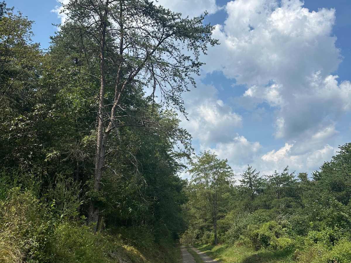
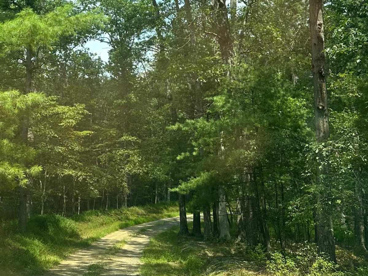
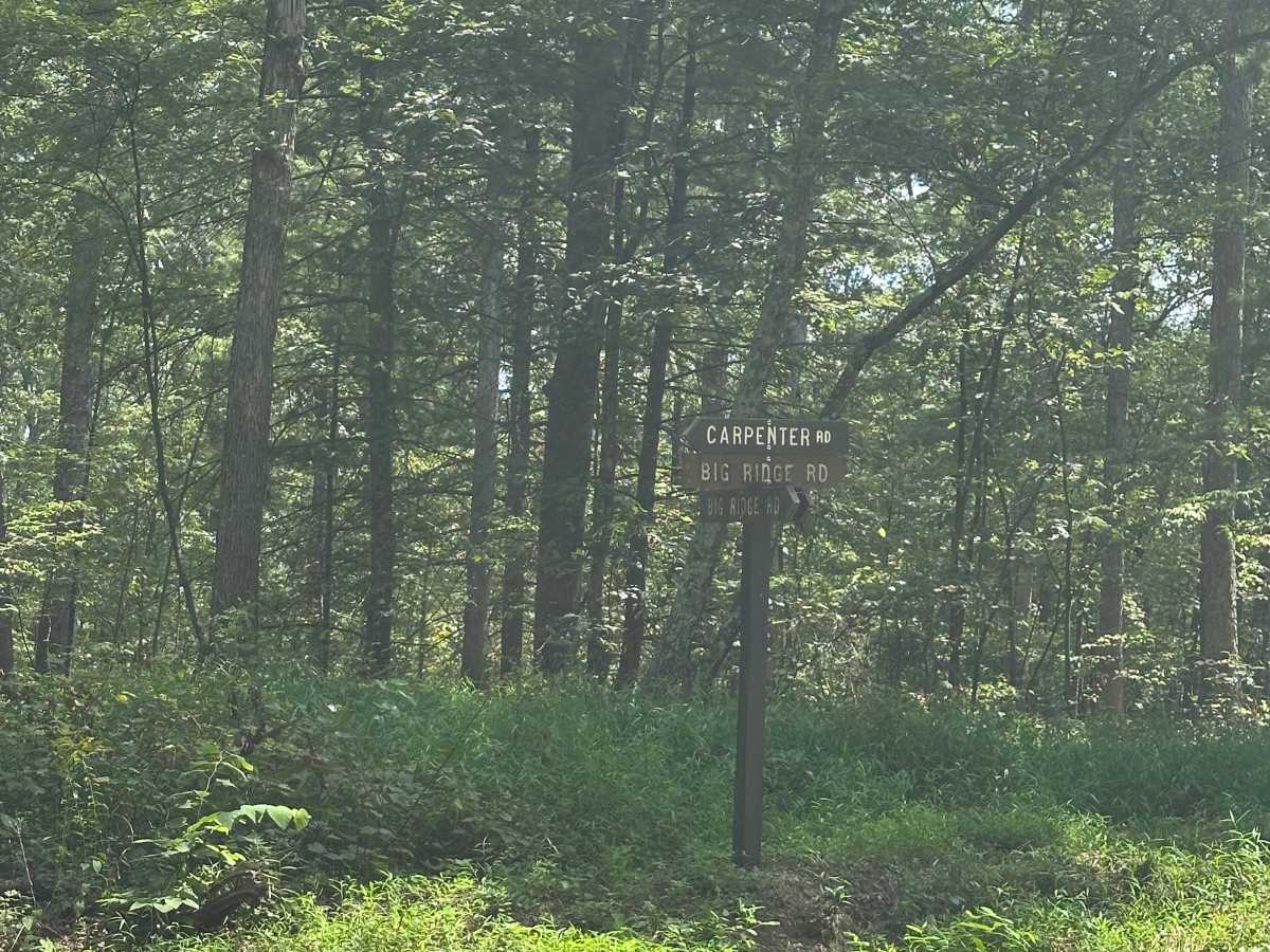
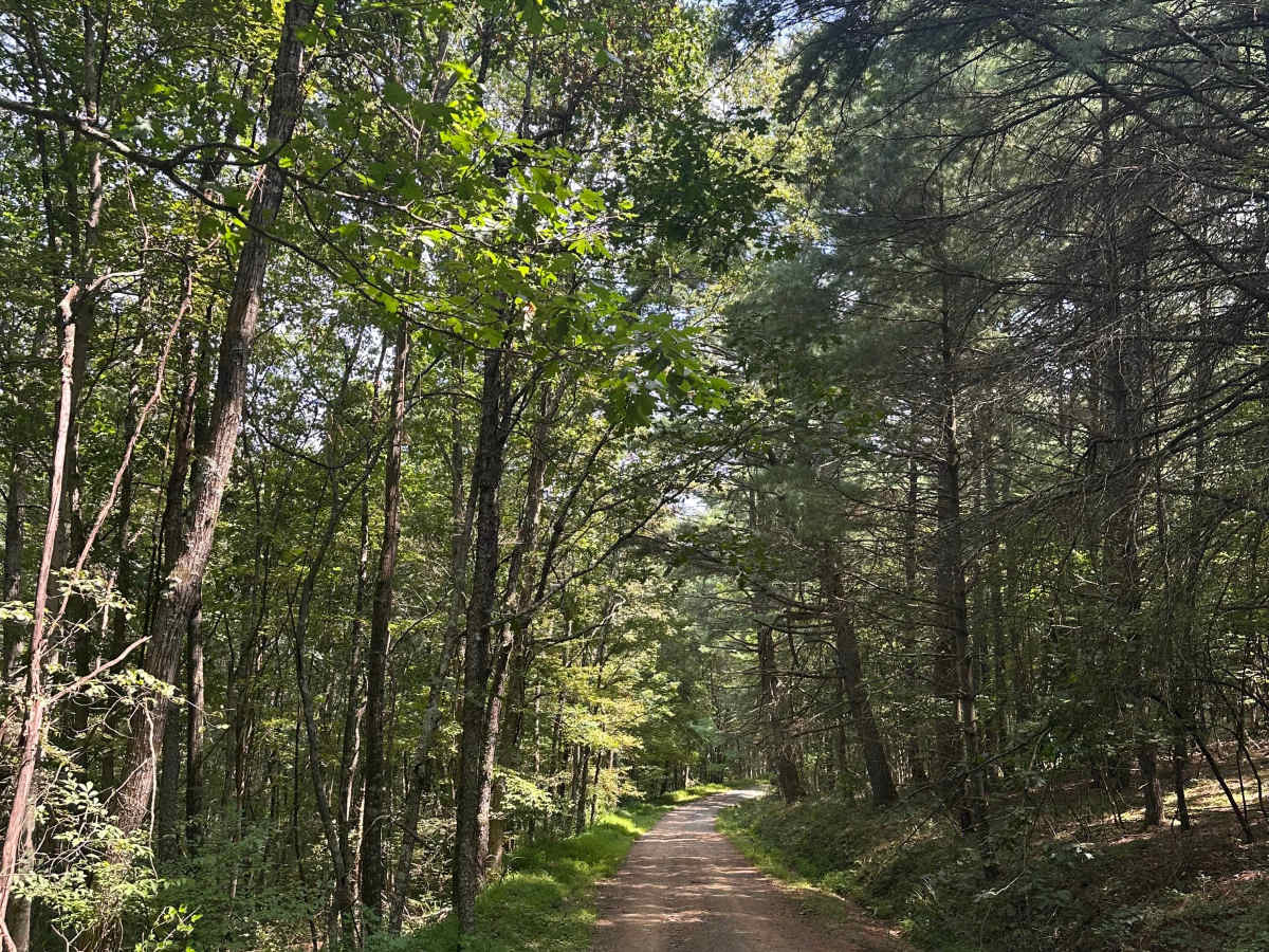
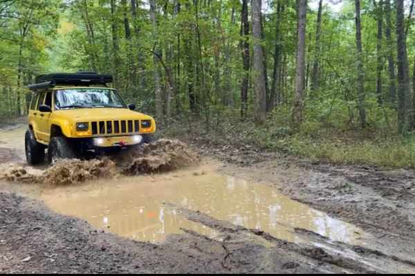
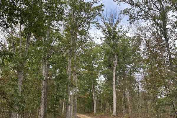
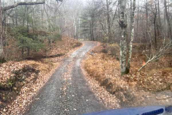
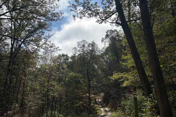
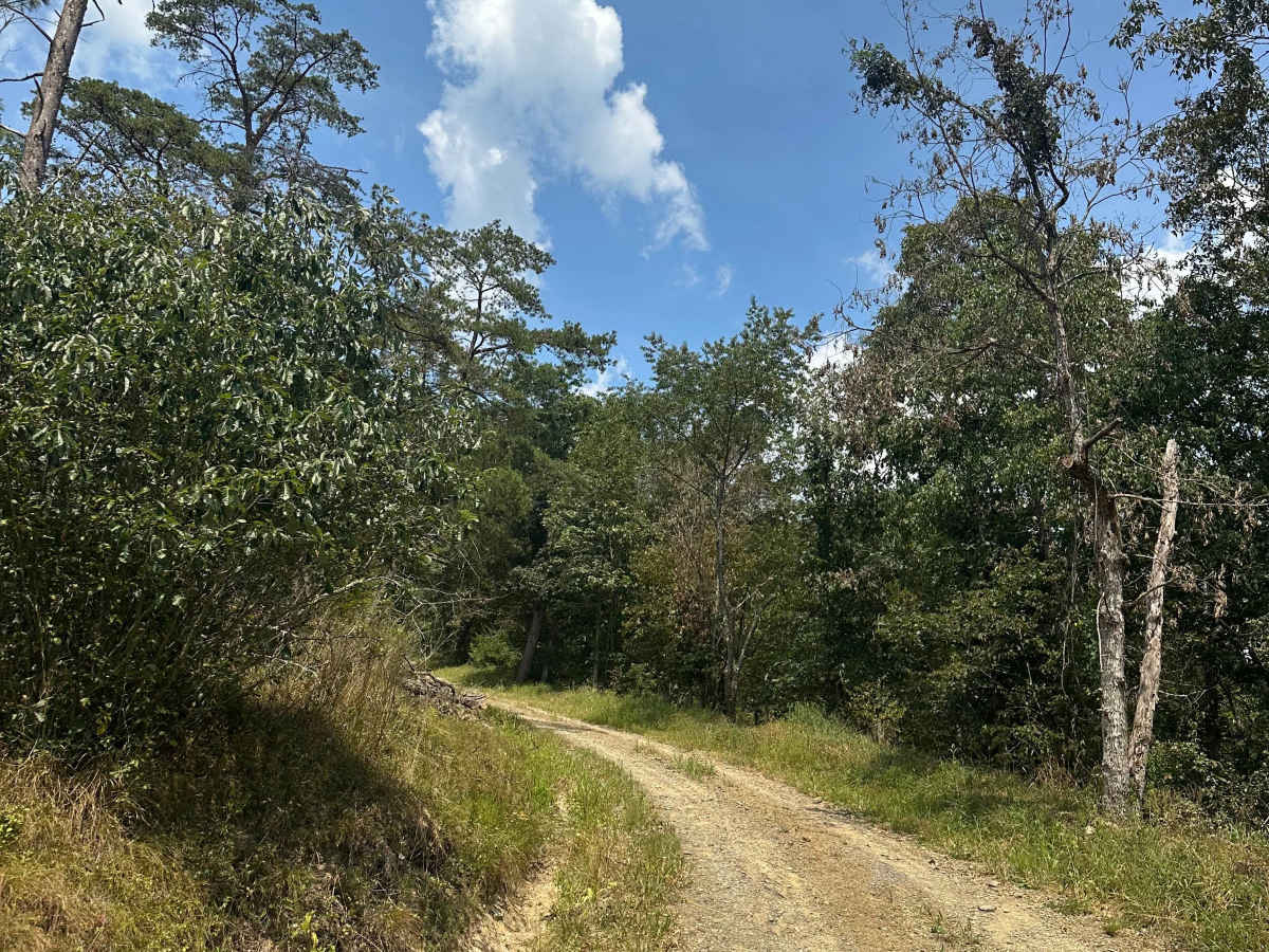
This gravel and dirt road connects Frank Davis Road with Carpenter Road on the northern side of Green Ridge State Forest. Dispersed camping sites are located along the route, and a swimming hole can be found at the intersection of Carpenter Road and 15 Mile Creek Road. Four-wheel drive is not needed in spring, summer, or fall but may be required in winter when snow or ice is present. A steep incline near the Frank Davis Road entrance can become slick during colder months.

Photos of Frankie Carpenter

Difficulty

This route is easy to travel and suitable for most vehicles, with four-wheel drive only necessary in the winter months when snow or ice is present.

Technical Rating

1

Status Reports

Add Status Report
Brennen St Germain
Jul 05, 2026
Obstructed
Downed Tree
Tree down
Colin McPheeters
Jun 26, 2026
2004 Lexus GX
Open
NormalMuddy/Wet
Normal conditions, a little muddy from the recent rain but didn’t require 4wd.
Spencer David
Mar 21, 2026
2022 RAM 2500
Open
Normal
Coming home from Rocky Gap SP wanted to connect Green Ridge to Buchanan for a route I built. Lots of campers this first full day of spring, and bugs.

Frankie Carpenter Trail can be accessed by the following ride types:

  • High Clearance
  • Full Width

Frankie Carpenter Map

The onX Offroad Difference

onX Offroad combines trail photos, descriptions, difficulty ratings, width restrictions, seasonality, and more in a user-friendly interface. Available on all devices, with offline access and full compatibility with CarPlay and Android Auto. Discover what you're missing today!

Open Trail Map