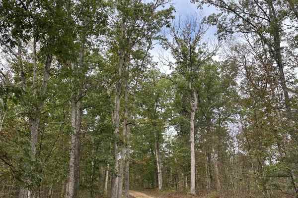
Wesley Norman
Jun 20, 2026
2024 Jeep Gladiator
Obstructed
Downed Tree
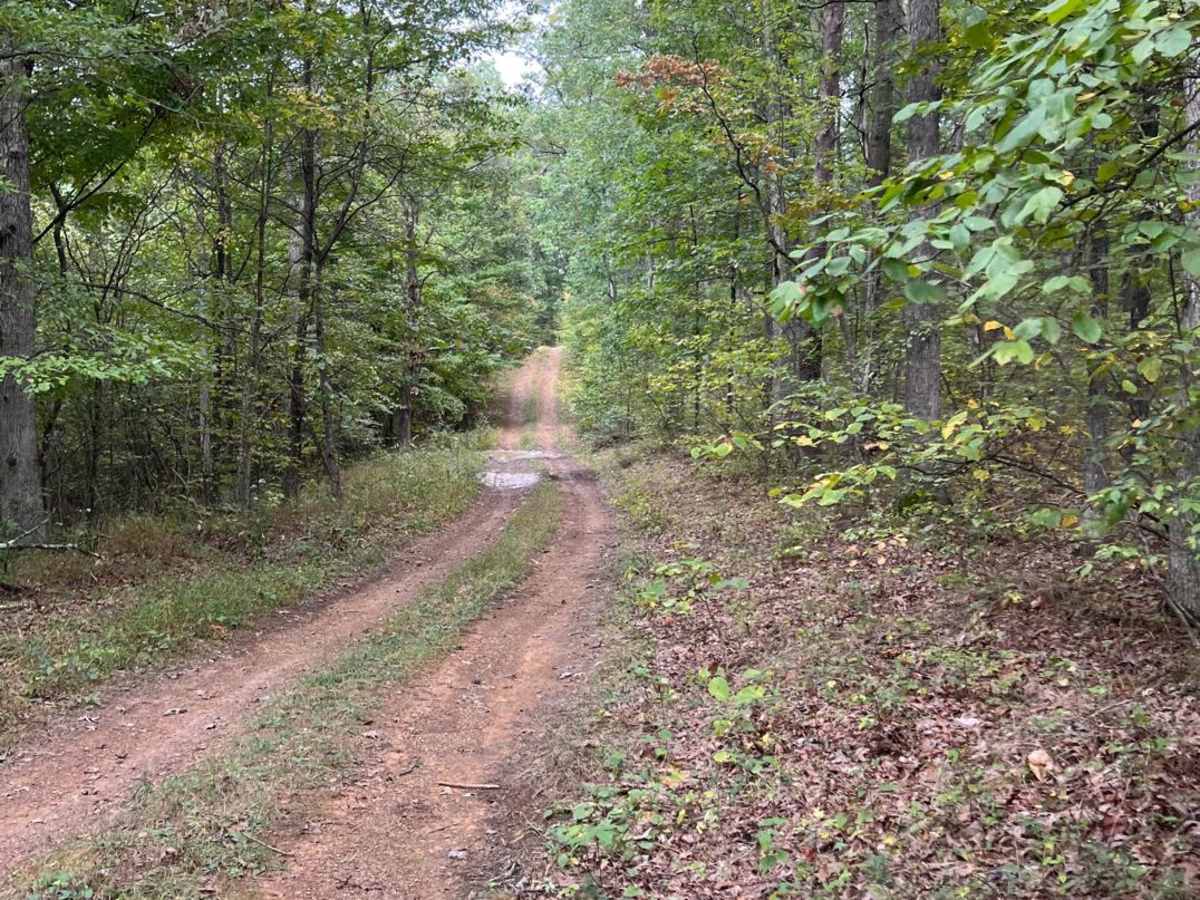
2 downed trees. One at west end entrance and one 0.1 miles from west entrance. Both small enough for jeep to drive over.
Colin McPheeters
Apr 12, 2026
2004 Lexus GX
Open
NormalDustyRough/Deteriorated
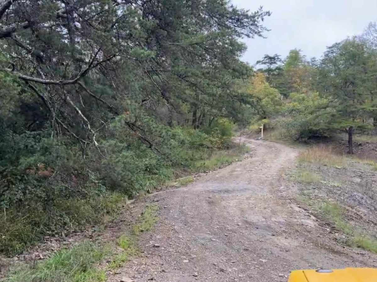
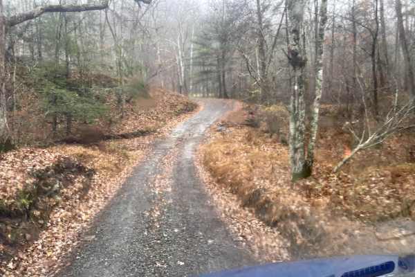
Would recommend 4wd if you come from 15 mile creek road. The entrance is very rough and deteriorated. Rest of the trail was dry with a few small puddles.
Darin Sweitzer
Dec 03, 2025
1979 Chevrolet K30
Open
Muddy/Wet
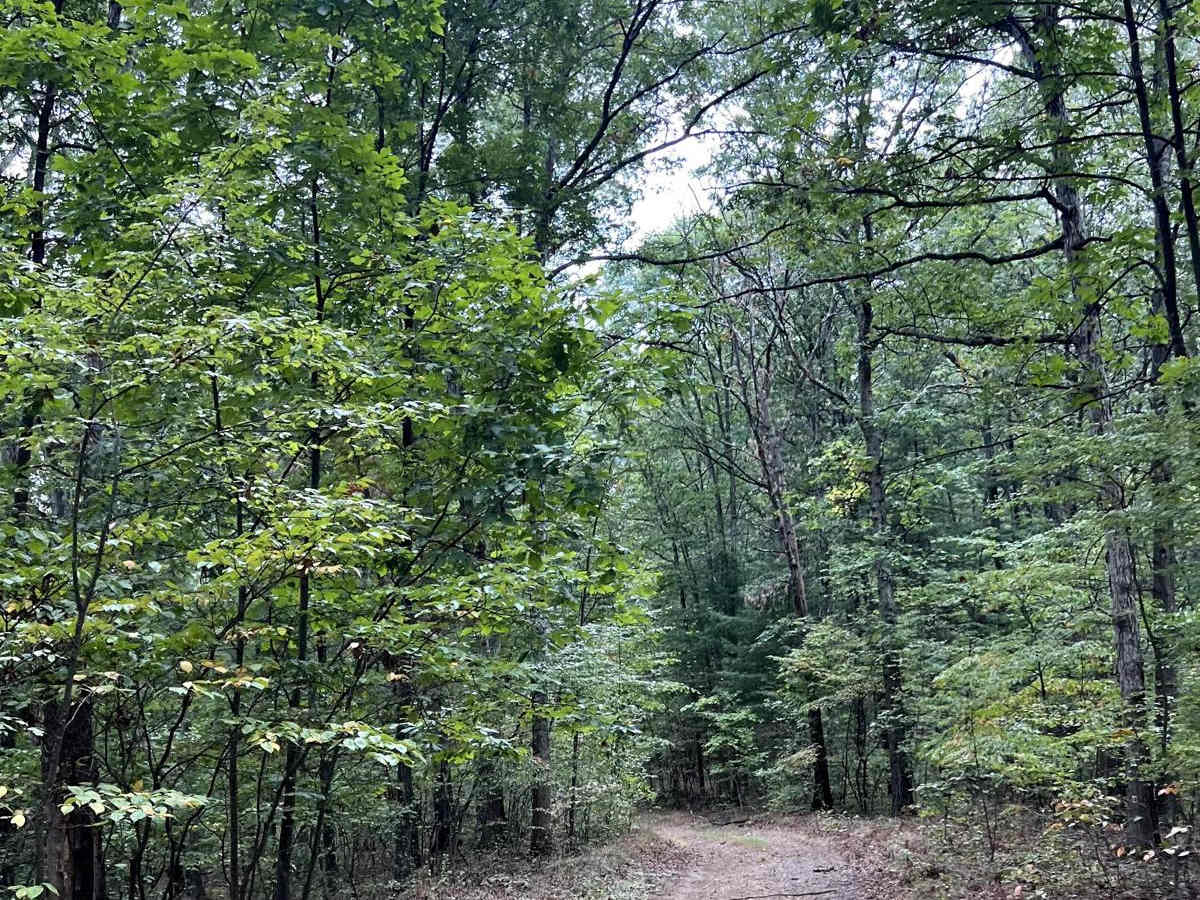
We entered the trail just below the main entrance of greenridge road, the climb as we entered was a nice offroad feel, recent snow melt has left lots of water holes to drive through with an assorted levels of mud available. Varying terrain but manageable in 2wd throughout.
Colin McPheeters
Nov 30, 2025
2004 Lexus GX
Open
Muddy/WetRough/Deteriorated
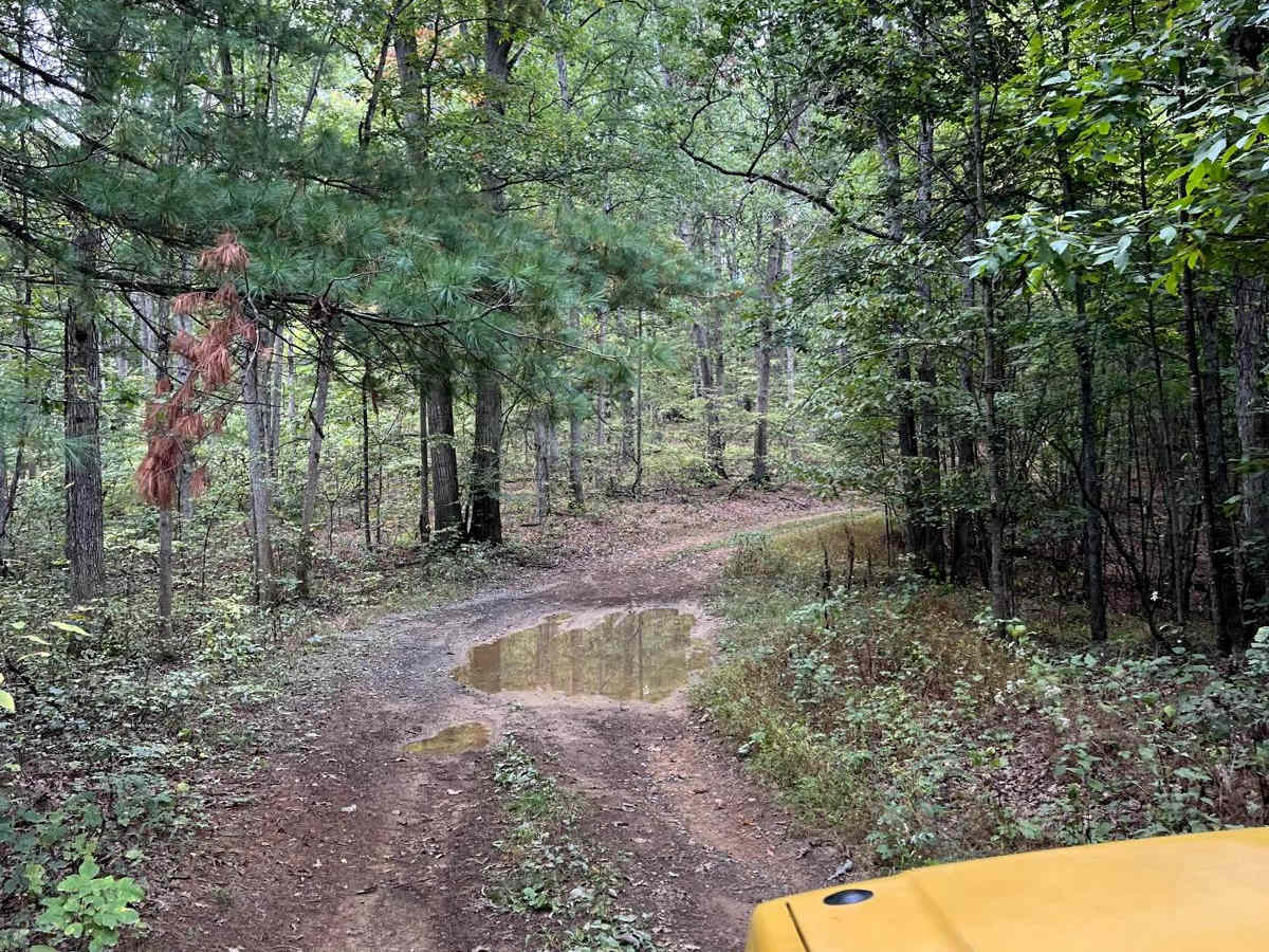
Very steep and rutted coming from 15 mile creek rd. 4wd definitely recommended, up top the puddles were deep with rock bottom.
Darin Jackson
Nov 02, 2025
2025 Jeep Wrangler
Open
Muddy/Wet
This was a very fun trail. Lots of puddles when you get to the end, it does get a little rocky and tight but other than that pretty good.
jen bury
Sep 14, 2025
2020 Chevrolet Silverado
Open
Normal
Pretty bumpy in one area but other than that it was pretty chill
Jason Leonovich
Aug 24, 2025
2024 Chevrolet Colorado
Open
NormalMuddy/Wet
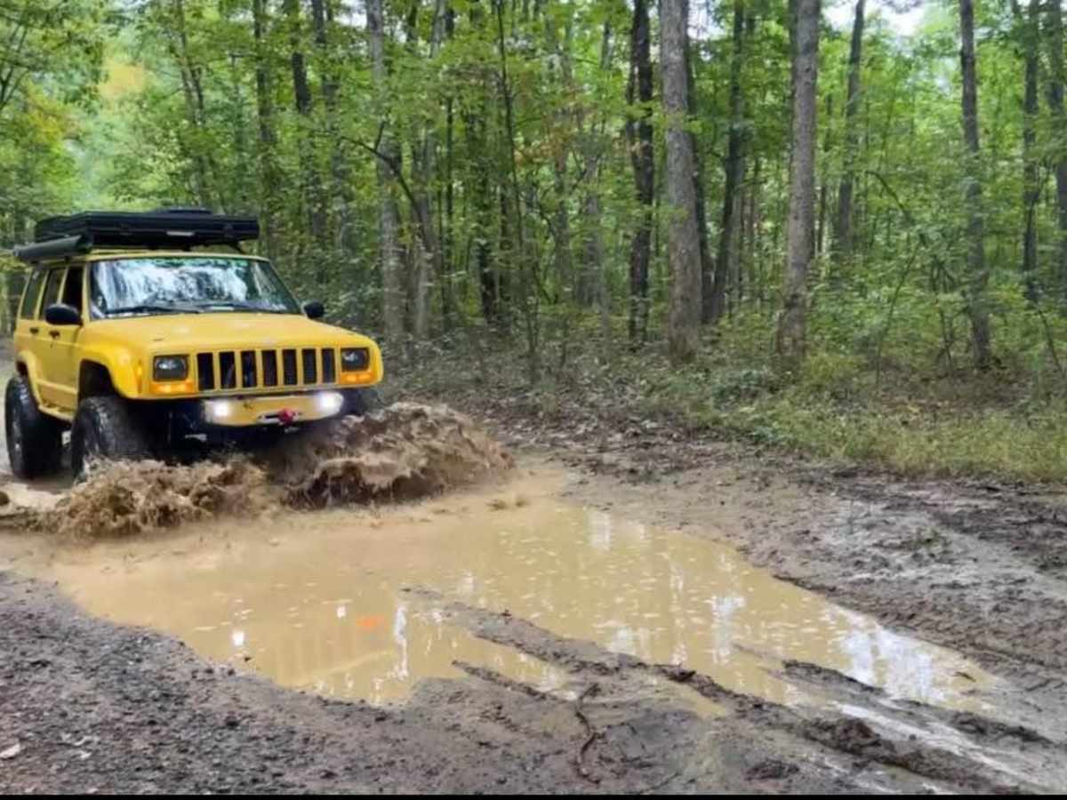
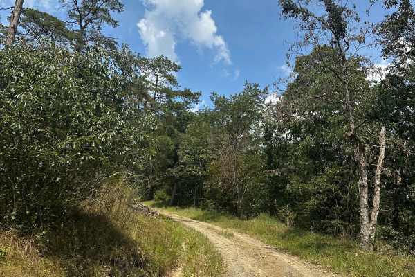
Rained the night before and had some great shallow mud puddles. Ruff but easily doable in even stock 4x4. East end is fairly steep and loose and recommend putting truck into 4 hi. Did not need 4low or lockers. Great trail and a must do when exploring Green Ridge state forest.
Curtis S
Aug 09, 2025
2024 Ford Bronco
Open
Fun trail! Didn't take the time for any pictures because of the excitement of gunning it through the puddles. So, will show the aftermath of mud splatter from this one. Even with no rain for a couple weeks still a holding a decent amount of water. For sure will do this one again. As others have said, the east end by 15 Mile Creek Road is steep, rocky, and the most technical part of the trail.
Kevin Keegan
Jun 25, 2025
2016 Toyota 4Runner
Open
Muddy/Wet
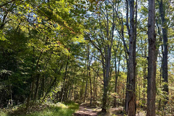
Fun little trail. Couple of hills, ruts to navigate, good puddles to run through. Nothing too serious and quick little trail, did it both ways - enjoyed it. Left my truck a little bit muddy.
Wesley Norman
Jun 07, 2025
2024 Jeep Gladiator
Open
Normal
Matt M
May 23, 2025
Open
Rough/DeterioratedNormal
Trail is washed out and muddy after the storms, but should be passable by any stock 4x4 vehicle.
Wesley Norman
Mar 22, 2025
Open
Muddy/WetRough/Deteriorated
Shallow puddles up to 8” deep with solid bottoms. East end of trail at 15 Mile Creek RD is steep and rutted.
Colin McPheeters
Feb 04, 2025
Open
Muddy/WetRough/Deteriorated
Fun as always. Ran it top to bottom. Pretty muddy but no problems
Curtis S
Nov 09, 2024
2024 Ford Bronco
Open
DustyRough/Deteriorated
Very steep rutted climb at the onset, not bad after that. Definitely easier with clearance and 4x4 in that portion. Very dry due to no rain in a month.
Ethan Boe
Oct 12, 2024
2017 Toyota Tacoma
Open
NormalRough/Deteriorated
Probably the most difficult of the ones in the area, but not too bad. Mostly washed out/ rutted trail with some rocky portions and water/ mud holes. A lot nicer of a ride with all terrains and 4wd but you could probably get by as long as you’ve got some clearance.