
Beginner Off-Road Trails
Near Ashland, Wisconsin
Explore All Beginner Trails Near Ashland, Wisconsin
Beginner Off-Road Trails Near Ashland, Wisconsin
Discover the best beginner-friendly off-road trails near you. These easier, lower-rated trails are a great place to start — browse trail maps, check difficulty ratings, and find your next adventure.
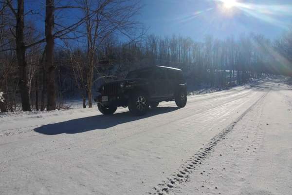
GG to Highbridge
GG to Highbridge is an easy and scenic 11.3-mile gravel forest route that is perfect for drivers of all skill levels seeking a relaxed dirt-road cruise through northern Wisconsin’s dense woodlands. Connecting State Highway GG just outside of Mellen to County Highway C in Highbridge, this trail provi...
Learn more about GG to Highbridge
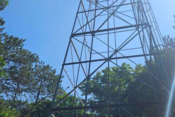
Berkshire Tower Ruins
This backwoods trail features the Mellen Lookout Tower at the top of Mount Whittlesey and a few old Berkshire Mine Ruins. The trail offered a few steep hill climbs, rutted-out and rock-filled sections, and a few rock gardens. The bugs were annoying, and cell service was minimal. A chainsaw or simila...
Learn more about Berkshire Tower Ruins
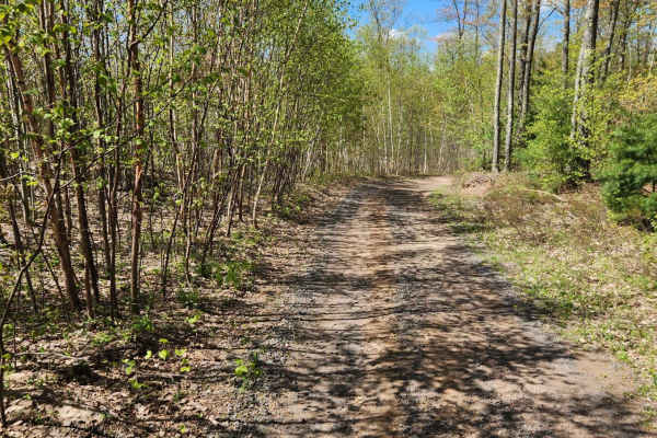
Bayfield Timber Trail
The Timber Trail which combines with Randysek Road starts out like a normal trail with some narrow and mostly dirt terrain. However, as you get closer to the cable this intersects with Randsek Rd. and turns to a wide gravel road shared with automobiles. This is great access to Cable where you can fi...
Learn more about Bayfield Timber Trail
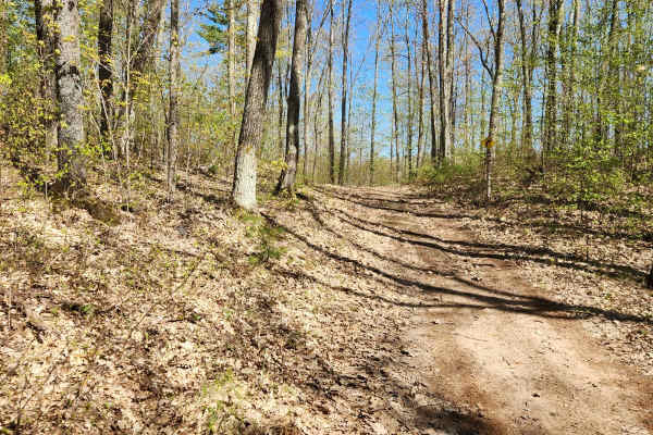
Trail 57
This is a short loop trail that connects Camp 38th to Randysek Road allowing you to get off the automobile-shared route. There are a few more narrow spots where meeting another machine will require someone to give way to the other. The trail surface is pretty typical for northern Wisconsin with a di...
Learn more about Trail 57
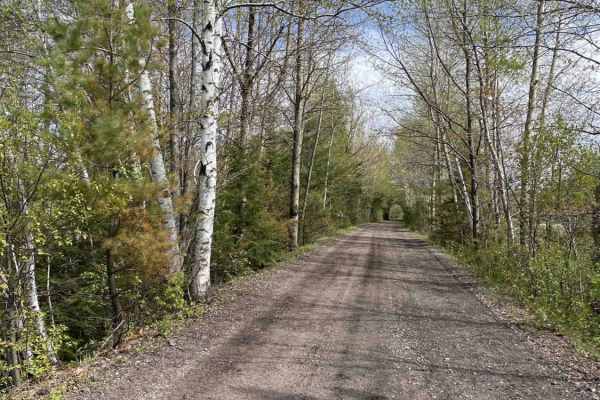
17
Trail 17 is an exceptionally scenic, family-friendly route connecting Hurley and Mercer, Wisconsin, making it perfect for riders of all skill levels looking to explore the beautiful Northwoods. Spanning approximately 27 miles along a well-maintained, abandoned railroad grade, this easy path offers a...
Learn more about 17
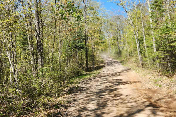
Trail 8
Trail 8 is a long dirt/gravel mix trail connecting 2 roads that could be used for access. It is mostly a dirt trail, and it is easy to navigate with plenty of spots to pull off to the side for a trail break. No area should really be an issue to pass another machine on the trail but prepare for plent...
Learn more about Trail 8
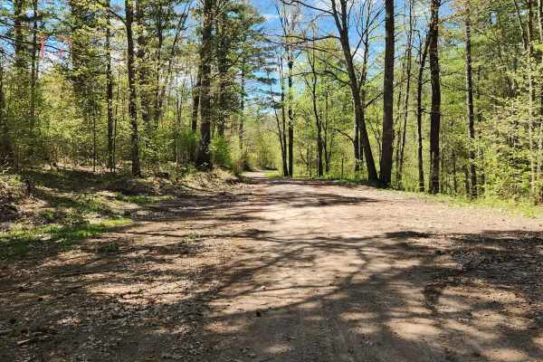
Trail 77
Trail 77 is a gravel connecting route from Trail 8 to County Road OO or Trail 31. It is one of the longer connecting trails and has nice easy rolling terrain to get you over to the town of Phipps and ultimately will get you to Hayward using Trail 31 and 30.
Learn more about Trail 77
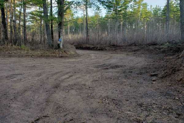
Trail 31 Segment 2
Segment 2 of Trail 31 is the perfect go-to for a relaxing afternoon drive and lies between Phipps Fire Lane and Thannum Fire Lane. T-Mobile seems to have good service most of the time, but it's unclear how well other providers work. It is well-marked with signs and poses no threat to the casual offr...
Learn more about Trail 31 Segment 2
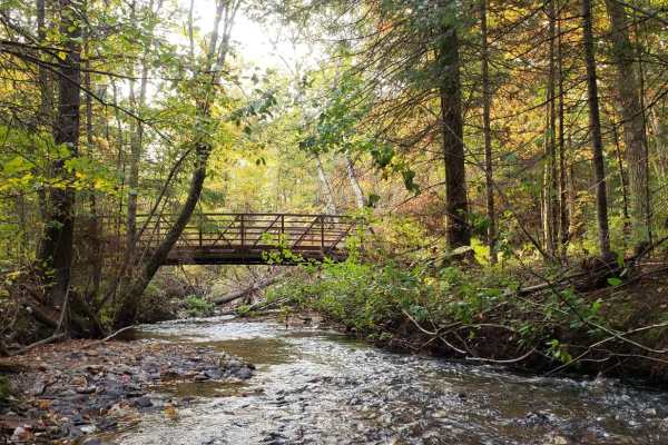
Trail 31 - Part 1
Trail 31 is the perfect go-to for a relaxing afternoon drive between Chippewa Trail & Thannum Fire Lane and joins Phipps Fire Lane for a short stretch. This trail is accessible to all vehicles except for dirt bikes. Near the Chippewa Trail end, there is a generous cul-de-sac with pit toilets, a pavi...
Learn more about Trail 31 - Part 1
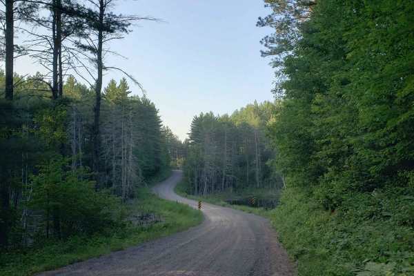
Phipps Fire Lane
This is a beautiful, winding gravel road through Northern Wisconsin that gives a beautiful view without significant danger to your vehicle. This trail is lined with a lovely variety of northern hardwoods and evergreens. Wildlife here is plentiful and it is very likely that you may see a few whitetai...
Learn more about Phipps Fire Lane
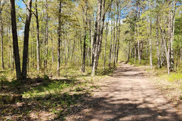
Tuscobia State Trail - Park Falls to Loretta
The Tuscobia State Trail runs a total of 74 Miles. This leg is 19 miles but connects to a massive trail system that you can jump onto at a bunch of different intersections. There are a few more stops than normal due to all of those intersections, but it is worth it if you want a day of exploring the...
Learn more about Tuscobia State Trail - Park Falls to Loretta
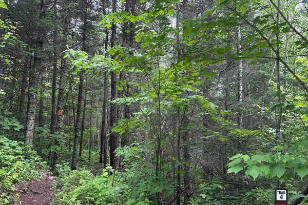
Alger Grade - Trail 4
Trail 4 can best be described as a "breather trail." It's relatively flat, smooth, loamy, and about as flowy as it gets at Alger Grade. There are a couple of sections that have tight trees, but there are no serious technical obstacles to cross. Use this trail to cool down after trail 3 and to prepar...
Learn more about Alger Grade - Trail 4
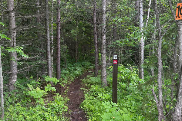
Alger Grade - Trail 10
Trail 10 is best considered easy to intermediate. The terrain is relatively flat and does not include any major technical features, steep climbs, or difficult rock sections. However, riders should still expect the usual Alger Grade mix of roots, rocks, and tight trees, which makes it more involved t...
Learn more about Alger Grade - Trail 10
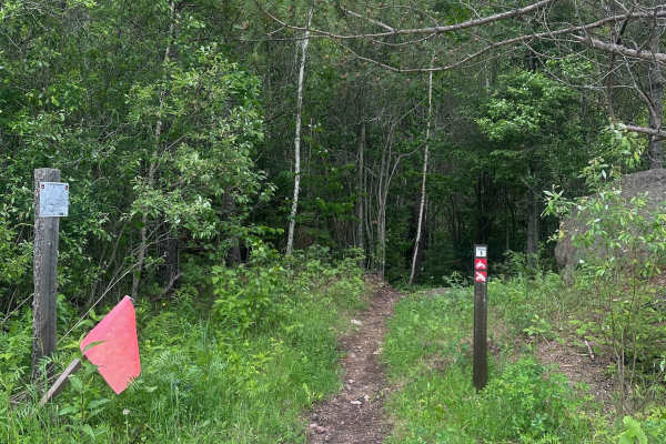
Alger Grade - Trail 1
Trail 1 begins smooth and loamy as it winds through the pine trees before the rocks and roots increase in number. There are no especially technical obstacles, but the rock/roots serve as a good primer for what to expect in the rest of the system. All of the trails at Alger Grade are tight and narrow...
Learn more about Alger Grade - Trail 1
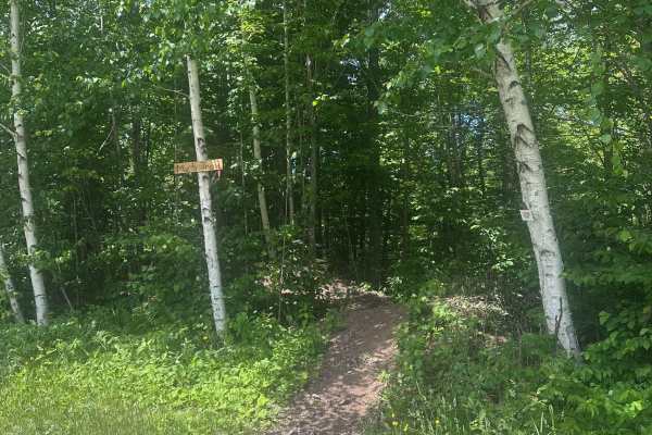
Parliament (M25 Access Trail)
Parliament is the main access trail for the M25 loop and the trail system as a whole. It takes you from the gravel pit staging area to where the M25 loop splits left and right on top of a large flat rock. Parliament is not technical, but it can be a little rugged in some spots. Expect some rocks, up...
Learn more about Parliament (M25 Access Trail)
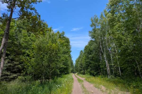
Kane Lake Spur J
This two-track trail is accessed from Kane Lake Road and remains relatively undamaged throughout its length. It winds through a mixed forest of pine and birch, offering a peaceful setting with a variety of wildflowers typically in bloom during July. The trail is mildly bumpy with gentle curves, asce...
Learn more about Kane Lake Spur J
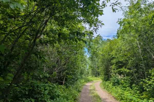
West Split Road
This two-track gravel trail winds through a mixed forest of pine and birch, offering a quiet route with a blend of natural beauty and rugged terrain. While the trail is mostly smooth, there are occasional rocky patches and potholes, and it appears to be infrequently maintained. Along the way, severa...
Learn more about West Split Road

County Road 7
County Road 7 is a long, wide gravel road that remains well-maintained along its entire length. It is a busy route with frequent local traffic, often moving at higher speeds, and can be pretty dusty, especially in dry conditions. The trail serves as a primary access route to the community of Finland...
Learn more about County Road 7

Kane Lake Spur B
This is a narrow, two-track trail that is entirely unmaintained and presents a mix of muddy, rocky, and heavily rutted sections. The route winds through dense forest and is often overgrown, with vegetation encroaching on the trail; pinstriping is inevitable. Large potholes and bumpy stretches make f...
Learn more about Kane Lake Spur B
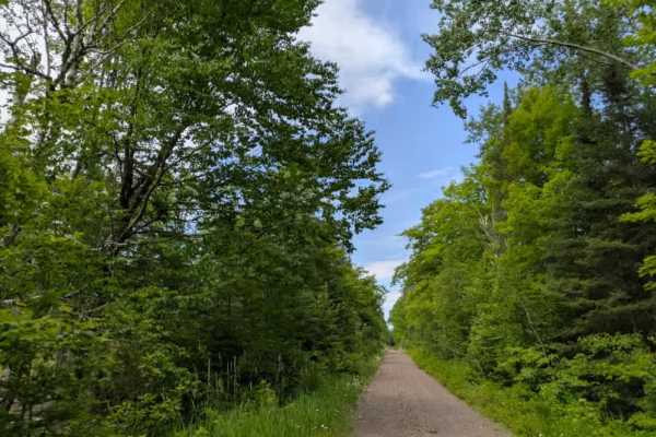
Kane Lake
This trail begins off Highway 2, with the initial stretch consisting of a paved road. After the first few miles, the surface changes to poorly maintained gravel marked by frequent potholes, washboard sections, and standing water in low spots. Several side trails branch off into the forest, including...
Learn more about Kane Lake
Beginner ATV trails near Ashland, Wisconsin
Explore ATV-friendly trails near you. These trails are accessible for vehicles up to 50 inches wide, perfect for ATVs and smaller off-road machines.
GG to Highbridge
GG to Highbridge is an easy and scenic 11.3-mile gravel forest route that is perfect for drivers of all skill levels seeking a relaxed dirt-road cruise through northern Wisconsin’s dense woodlands. Connecting State Highway GG just outside of Mellen to County Highway C in Highbridge, this trail provi...
Learn more about GG to Highbridge
Berkshire Tower Ruins
This backwoods trail features the Mellen Lookout Tower at the top of Mount Whittlesey and a few old Berkshire Mine Ruins. The trail offered a few steep hill climbs, rutted-out and rock-filled sections, and a few rock gardens. The bugs were annoying, and cell service was minimal. A chainsaw or simila...
Learn more about Berkshire Tower Ruins
Bayfield Timber Trail
The Timber Trail which combines with Randysek Road starts out like a normal trail with some narrow and mostly dirt terrain. However, as you get closer to the cable this intersects with Randsek Rd. and turns to a wide gravel road shared with automobiles. This is great access to Cable where you can fi...
Learn more about Bayfield Timber Trail
Trail 57
This is a short loop trail that connects Camp 38th to Randysek Road allowing you to get off the automobile-shared route. There are a few more narrow spots where meeting another machine will require someone to give way to the other. The trail surface is pretty typical for northern Wisconsin with a di...
Learn more about Trail 57
Beginner UTV/side-by-side trails near Ashland, Wisconsin
Find UTV and side-by-side trails near you. These trails accommodate vehicles up to 60 inches wide, ideal for UTVs, side-by-sides, and wider off-road rigs.
GG to Highbridge
GG to Highbridge is an easy and scenic 11.3-mile gravel forest route that is perfect for drivers of all skill levels seeking a relaxed dirt-road cruise through northern Wisconsin’s dense woodlands. Connecting State Highway GG just outside of Mellen to County Highway C in Highbridge, this trail provi...
Learn more about GG to Highbridge
Berkshire Tower Ruins
This backwoods trail features the Mellen Lookout Tower at the top of Mount Whittlesey and a few old Berkshire Mine Ruins. The trail offered a few steep hill climbs, rutted-out and rock-filled sections, and a few rock gardens. The bugs were annoying, and cell service was minimal. A chainsaw or simila...
Learn more about Berkshire Tower Ruins
Bayfield Timber Trail
The Timber Trail which combines with Randysek Road starts out like a normal trail with some narrow and mostly dirt terrain. However, as you get closer to the cable this intersects with Randsek Rd. and turns to a wide gravel road shared with automobiles. This is great access to Cable where you can fi...
Learn more about Bayfield Timber Trail
Trail 57
This is a short loop trail that connects Camp 38th to Randysek Road allowing you to get off the automobile-shared route. There are a few more narrow spots where meeting another machine will require someone to give way to the other. The trail surface is pretty typical for northern Wisconsin with a di...
Learn more about Trail 57
The onX Offroad Difference
onX Offroad combines trail photos, descriptions, difficulty ratings, width restrictions, seasonality, and more in a user-friendly interface. Available on all devices, with offline access and full compatibility with CarPlay and Android Auto. Discover what you're missing today!
Open Trail Map