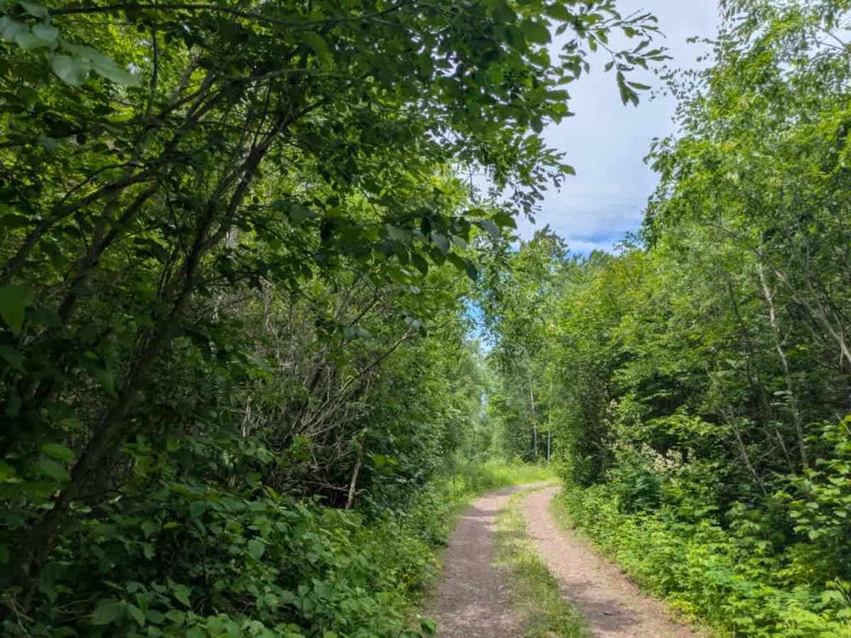
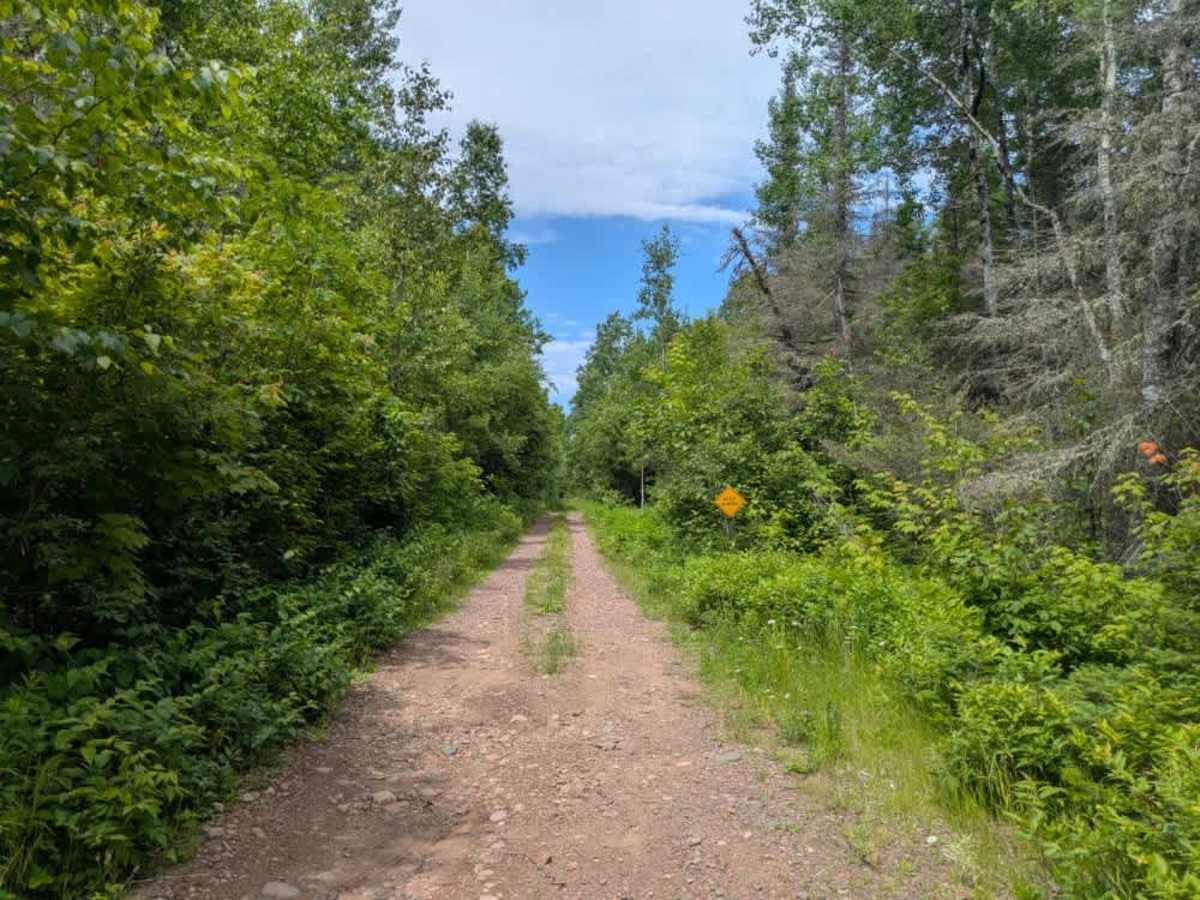
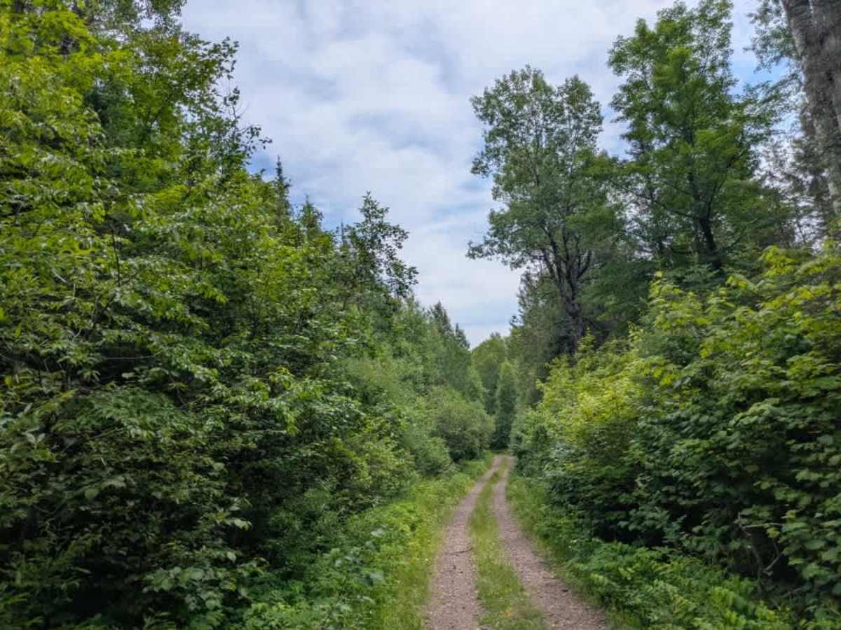
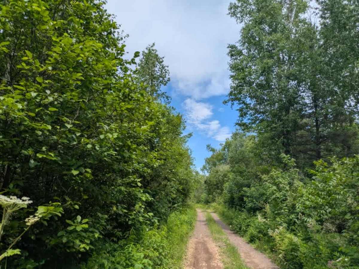
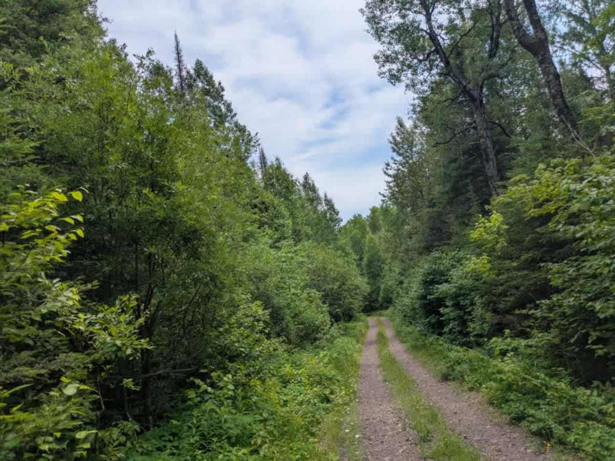
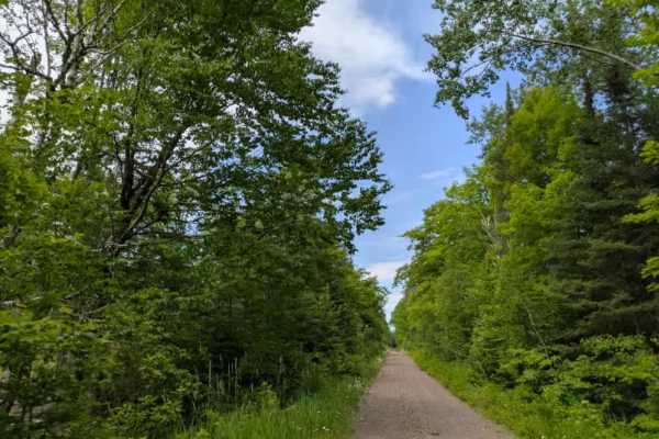
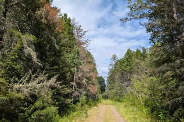
Trail Overview
This two-track gravel trail winds through a mixed forest of pine and birch, offering a quiet route with a blend of natural beauty and rugged terrain. While the trail is mostly smooth, there are occasional rocky patches and potholes, and it appears to be infrequently maintained. Along the way, several overgrown side trails branch off into the forest. The trail ends at a wide clearing, where a large pile of rocks and gravel suggests the site may have once been used as a quarry. This open space could be suitable for dispersed camping, and there is a narrow, overgrown snowmobile trail that continues from the clearing, though it appears rarely used. There are no formal campsites or amenities along this trail. Dispersed camping is typically allowed within the Superior National Forest, provided it is outside the Boundary Waters Canoe Area Wilderness, but it’s important to confirm current regulations with local authorities. There are no toilets, trash disposal, or potable water sources along the route, and cell service may be unreliable or nonexistent.
Difficulty
This forested route is lightly maintained and typically sees use during peak seasons. Expect occasional fallen limbs, narrowing sections from plant growth, and minor obstacles. The trail can be accessed by all vehicles between April 1st and November 30th.