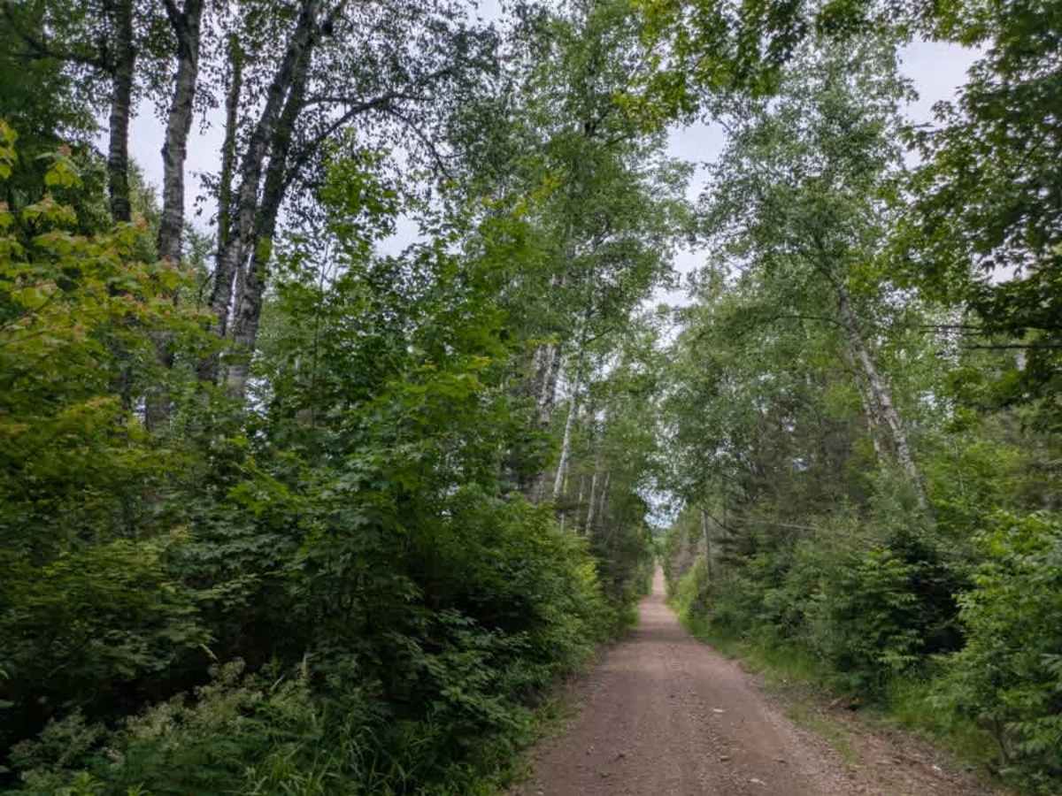
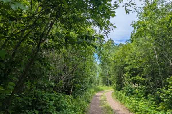
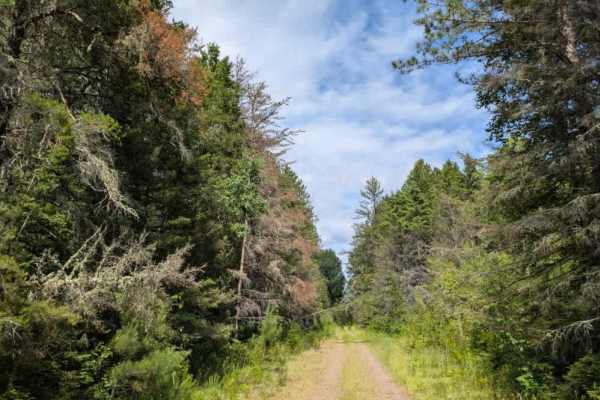
Trail Overview
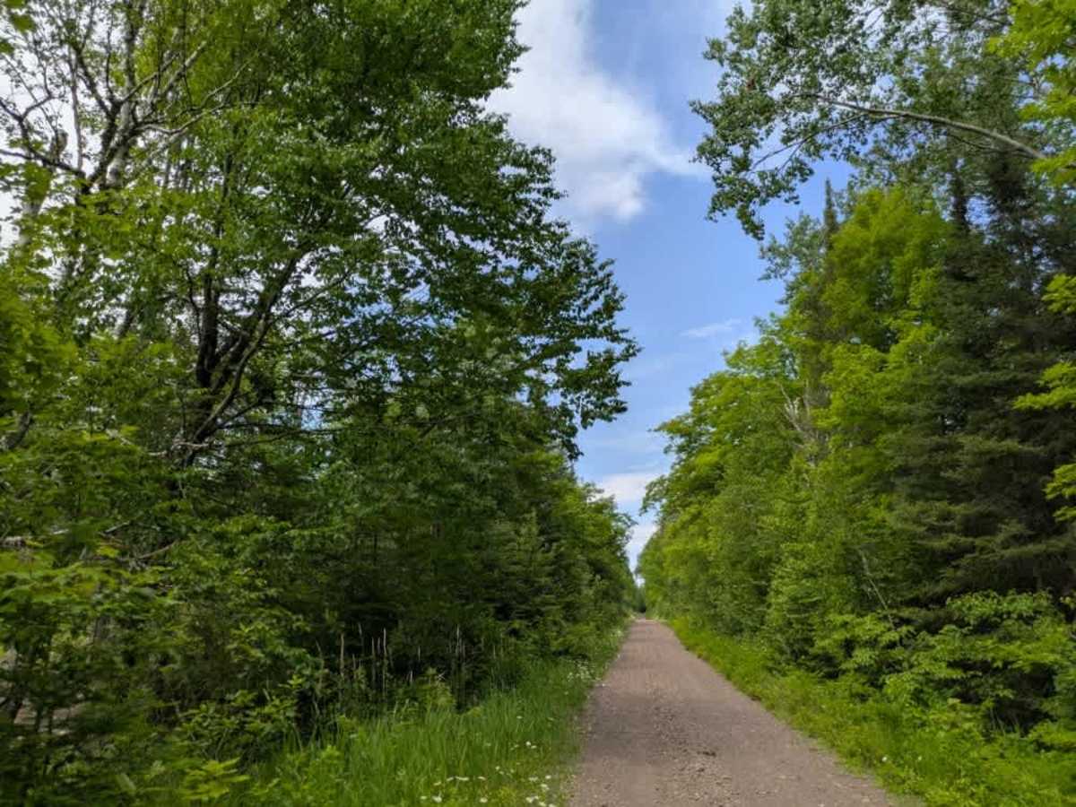
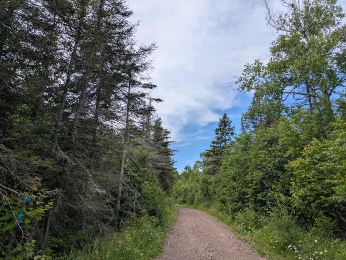
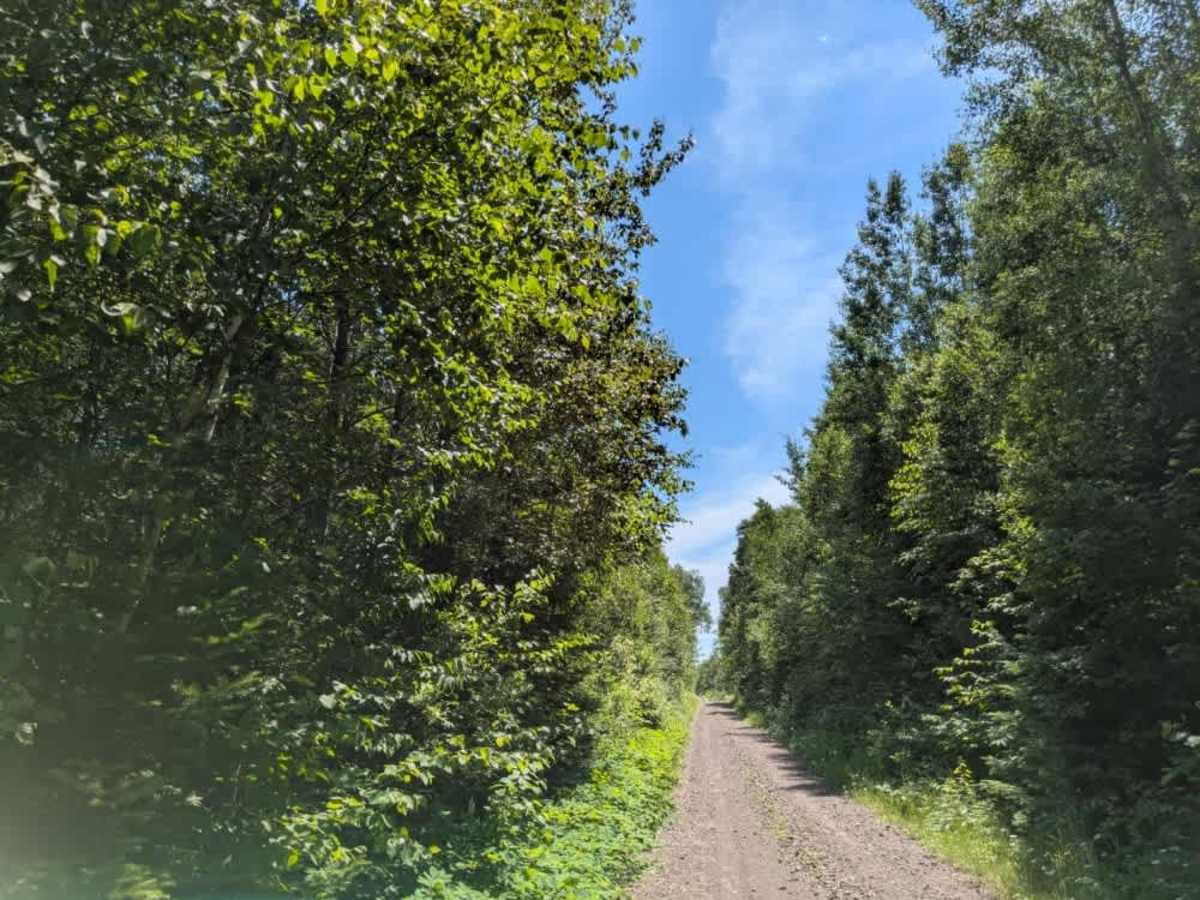
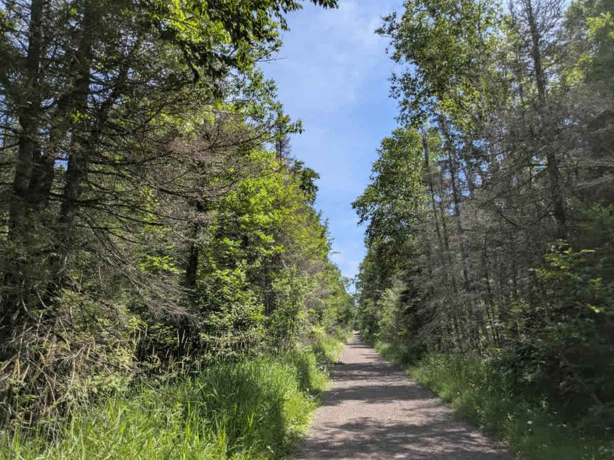
This trail begins off Highway 2, with the initial stretch consisting of a paved road. After the first few miles, the surface changes to poorly maintained gravel marked by frequent potholes, washboard sections, and standing water in low spots. Several side trails branch off into the forest, including narrow snowmobile routes and others that appear suitable for side-by-sides or ATVs. As the trail continues, it descends toward a railway line. Beyond the tracks, the route narrows progressively, becoming less maintained and more overgrown with each mile. There are a handful of clearings along the way that could be used for dispersed camping, and signs of logging activity are evident. Some of the spur trails also narrow significantly and are best suited for smaller off-road vehicles. The main trail includes sections of loose, thick gravel and moderate elevation changes. Eventually, the route reaches a large clearing and crosses into private property, where the surface becomes rocky, muddy, and heavily overgrown. Near the junction of Kane Lake Spur J, there is a basic parking area and a marked snowmobile trail with signage for emergency assistance. There are no formal campsites along the trail, but dispersed camping is generally allowed within the Superior National Forest, as long as it's outside the Boundary Waters Canoe Area Wilderness. It’s important to confirm with local authorities before setting up camp. No amenities are available along the route—there are no toilets, trash receptacles, or potable water sources—and cell coverage may be spotty or unavailable. Those planning to camp should follow Leave No Trace principles.
Difficulty
The trail is maintained but can develop light overgrowth between trims, especially in the winter months. Commonly used by local OHV traffic, the path remains visible and passable, though branches and low brush may occasionally encroach.