Trail Overview
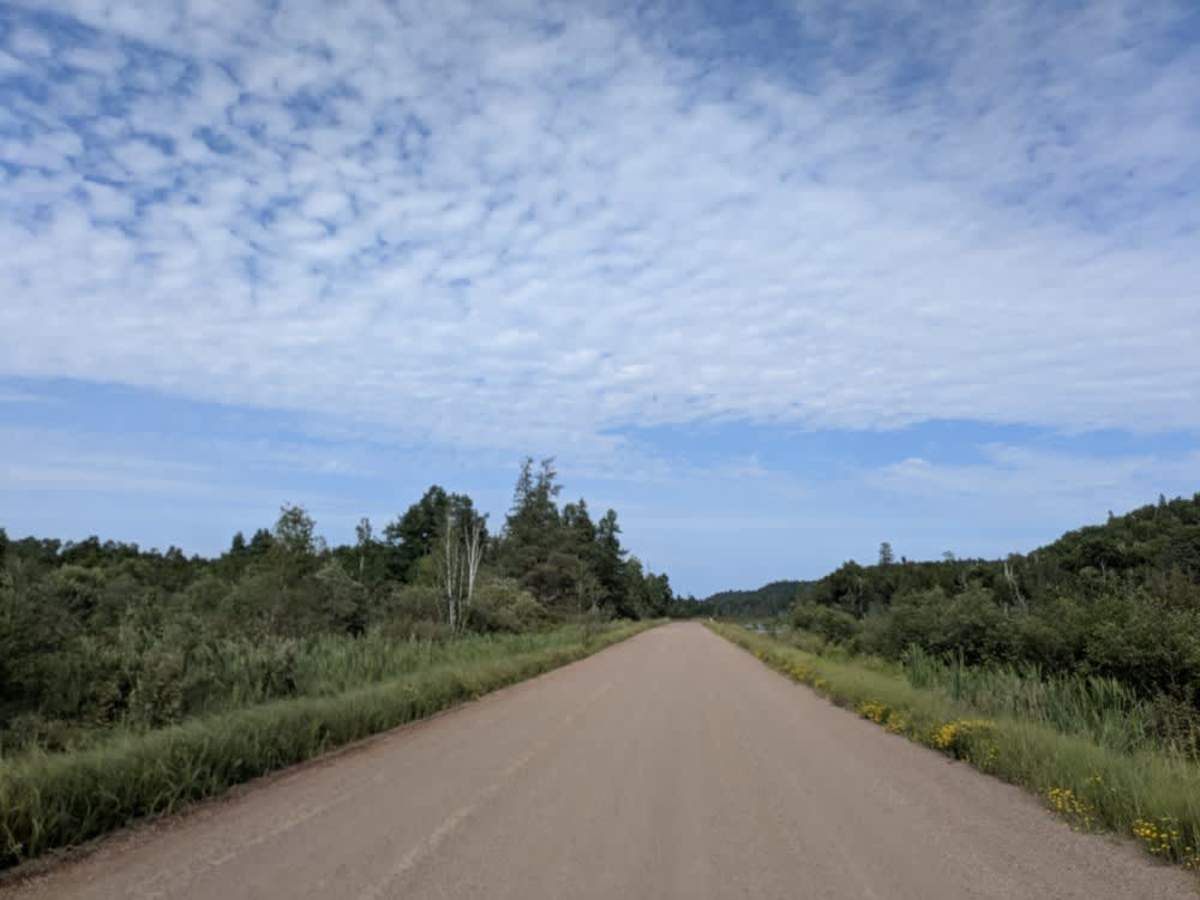
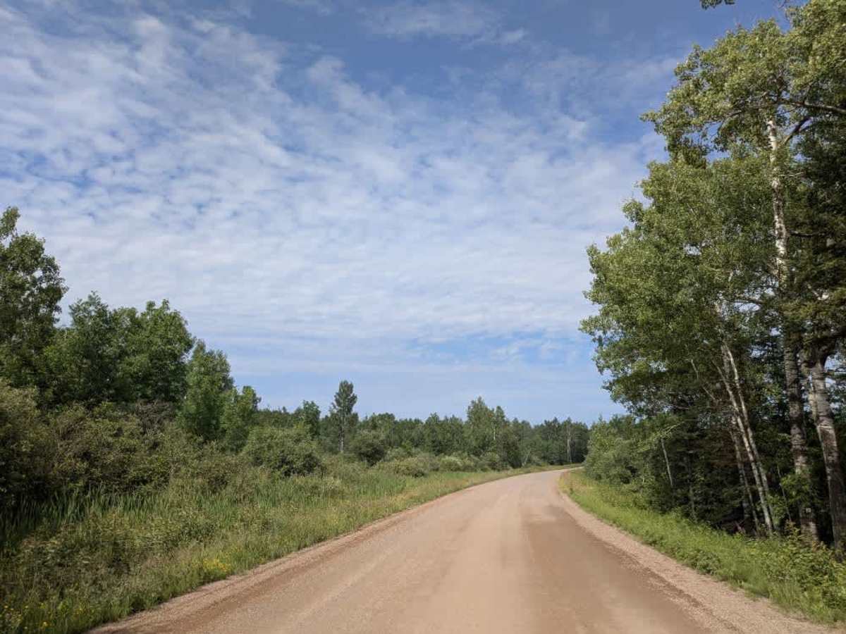
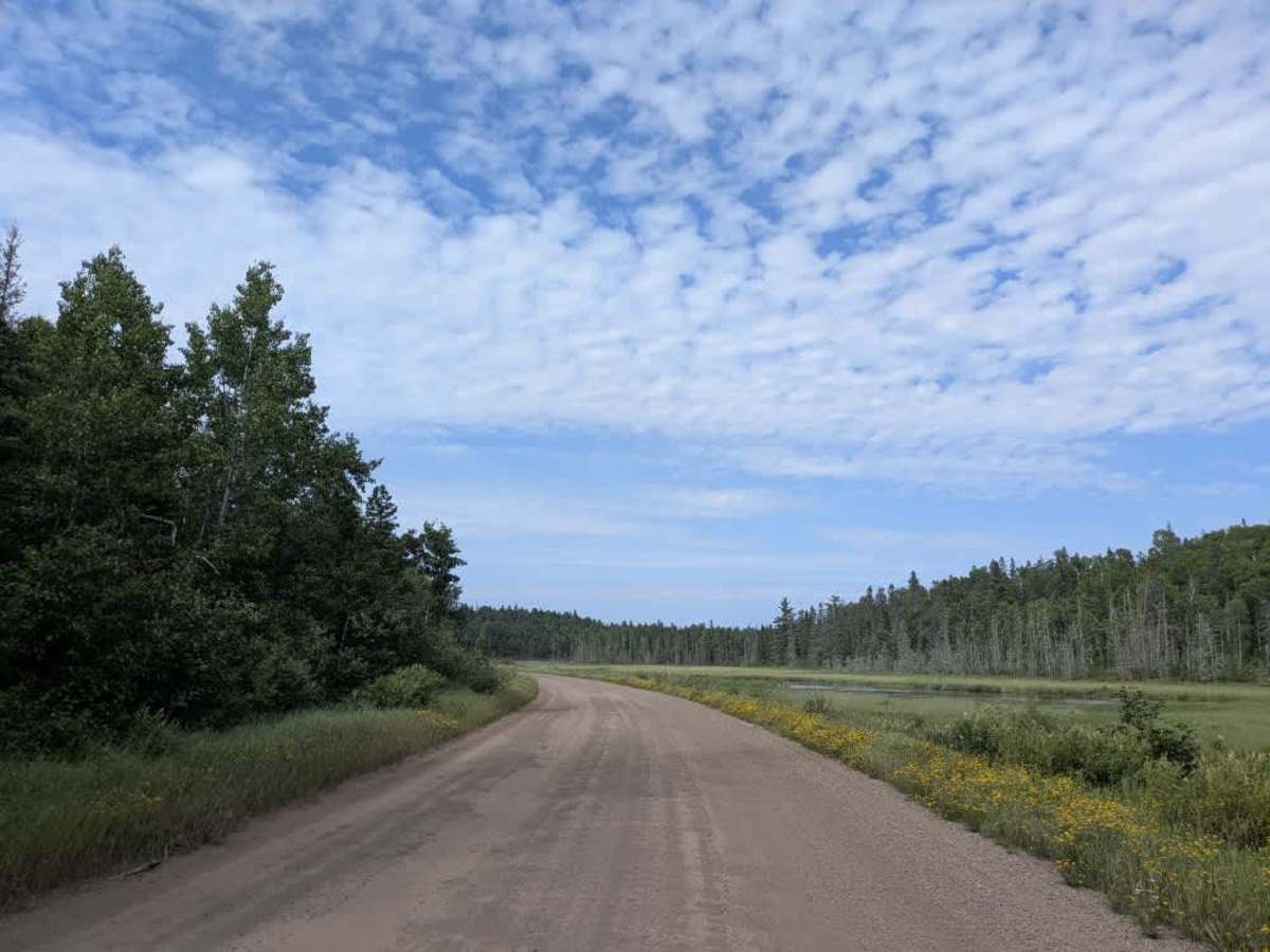
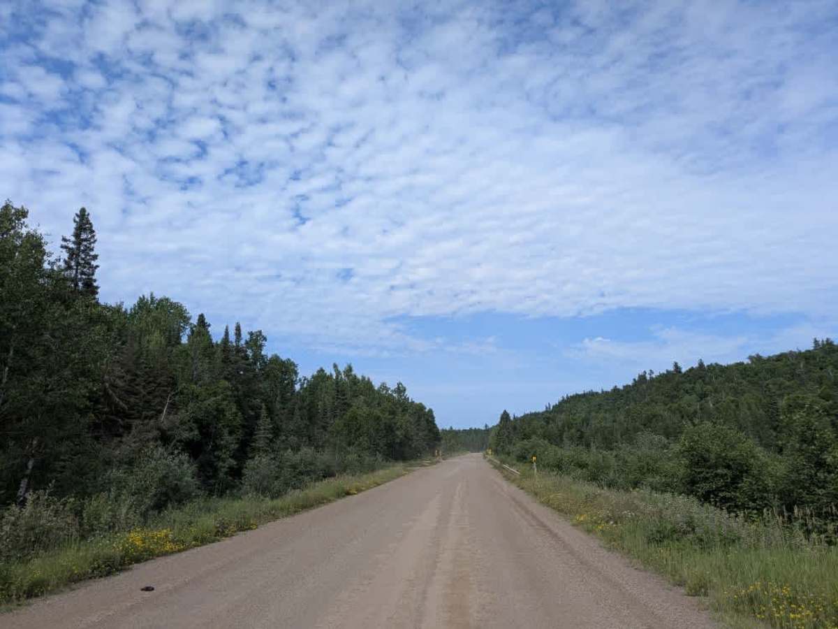
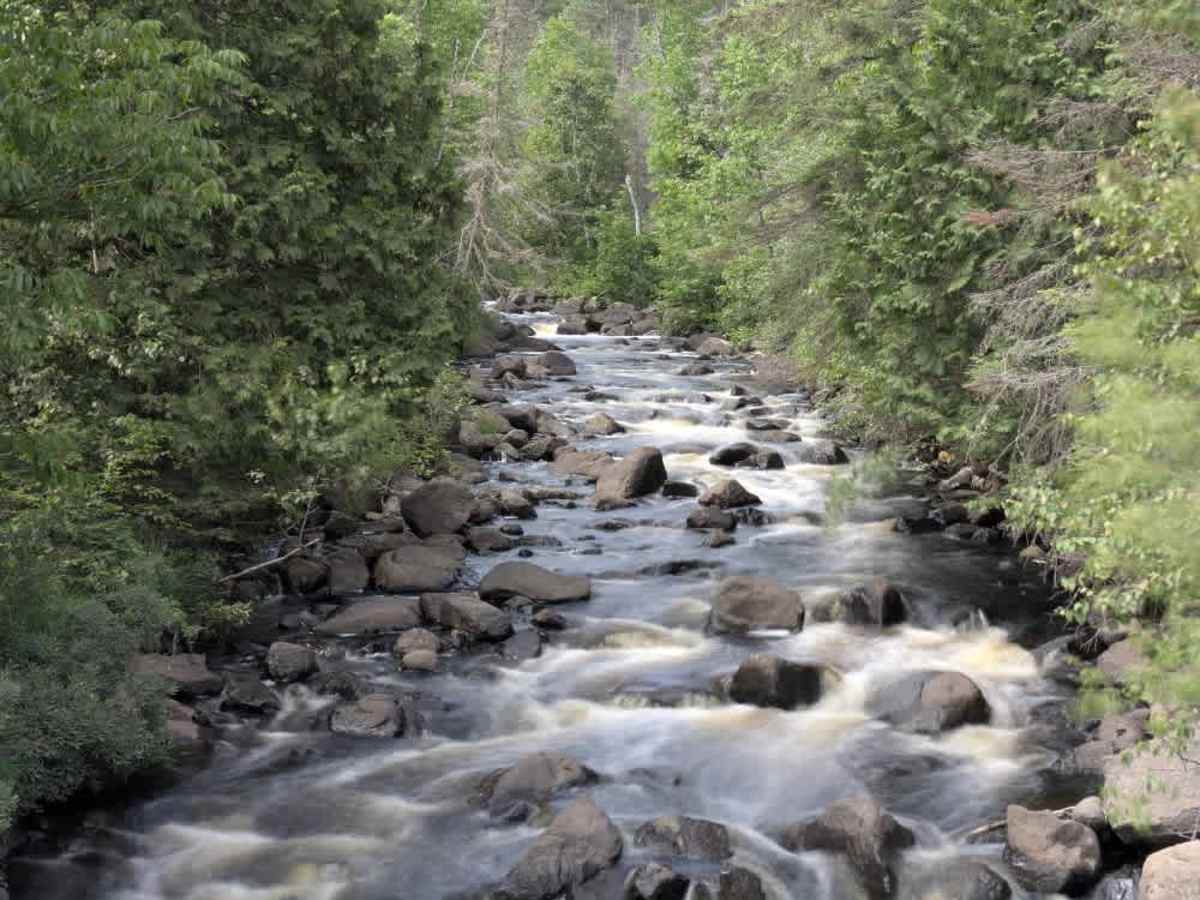
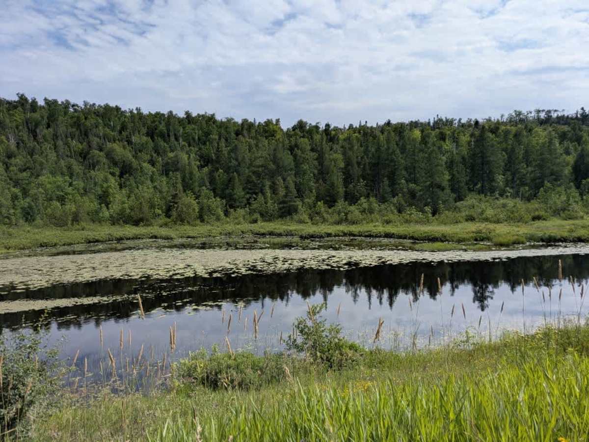
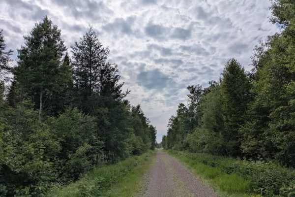
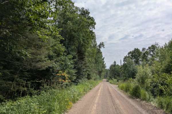
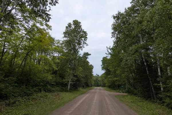
County Road 7 is a long, wide gravel road that remains well-maintained along its entire length. It is a busy route with frequent local traffic, often moving at higher speeds, and can be pretty dusty, especially in dry conditions. The trail serves as a primary access route to the community of Finland and runs roughly parallel to the East Branch Baptism River for much of the way. In the first half of the trail, several other routes branch off, including a partially paved road that leads past private residences to a nearby air base—drivers should slow down in this section to minimize dust. The trail crosses three bridges and intersects with both motorized and non-motorized trails. A highlight along the route is the Ninemile Campsite, which offers lakefront campsites along with basic amenities such as potable water, toilets, and trash disposal. Further along, the trail passes several small lakes and eventually narrows, becoming more winding as it approaches a junction near a local store and saloon that serves both residents and ATV/SXS users. While the trail is primarily functional, it also provides a scenic route with a few opportunities for camping and resupply. Cell reception may vary depending on location.
Difficulty
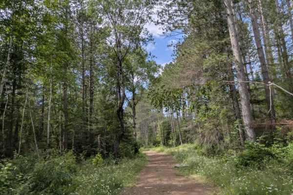
This forest trail is well-maintained and used by residents and adventurers. The route is wide and clear of debris, with established tread and minimal overgrowth, making it ideal for a smooth and scenic drive.