Trail Overview
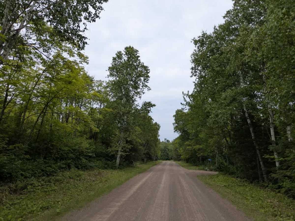
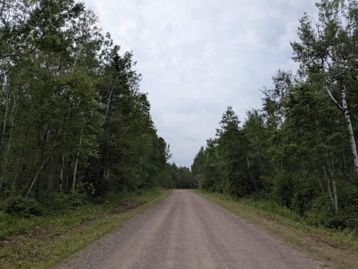
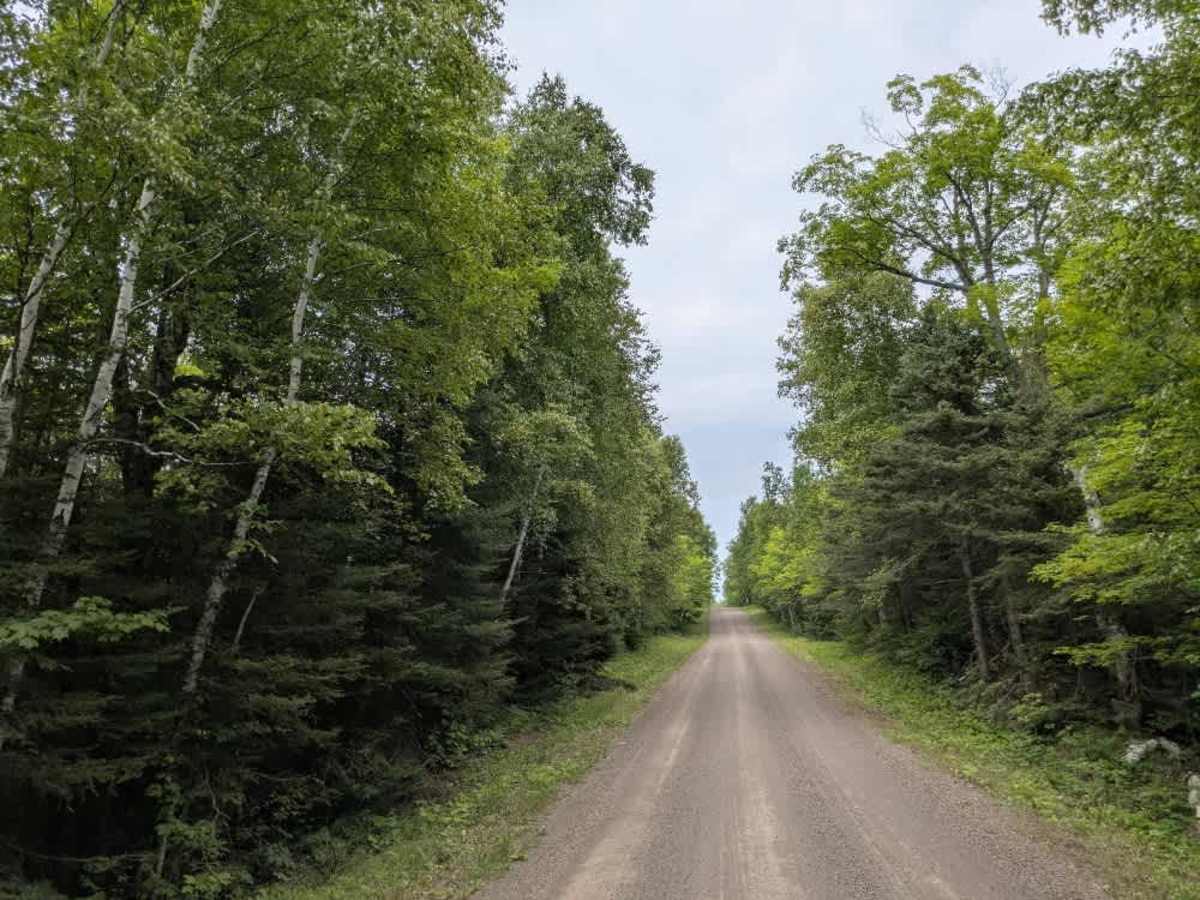
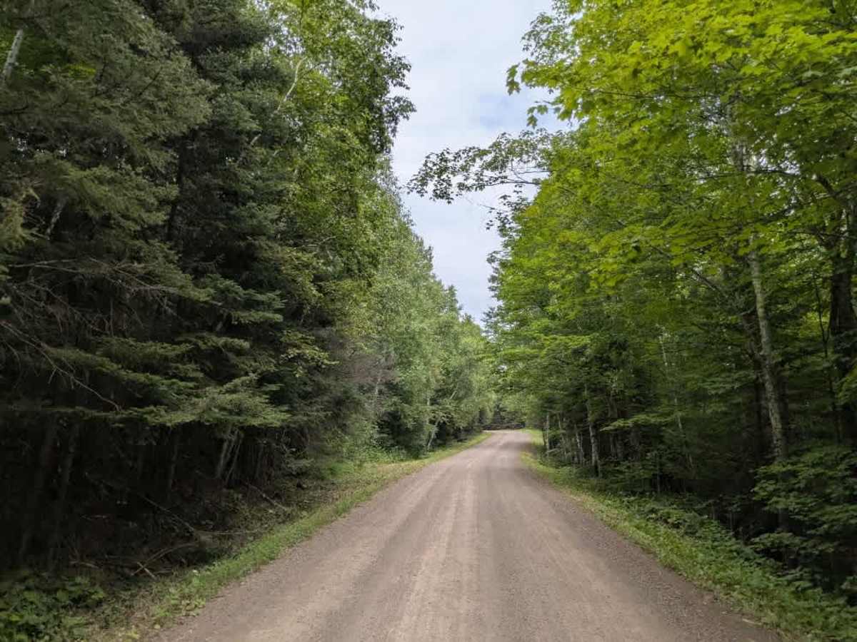
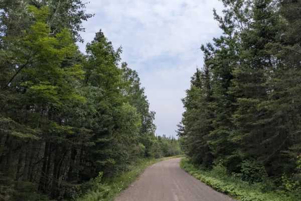
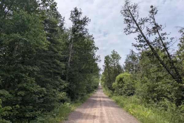
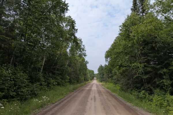
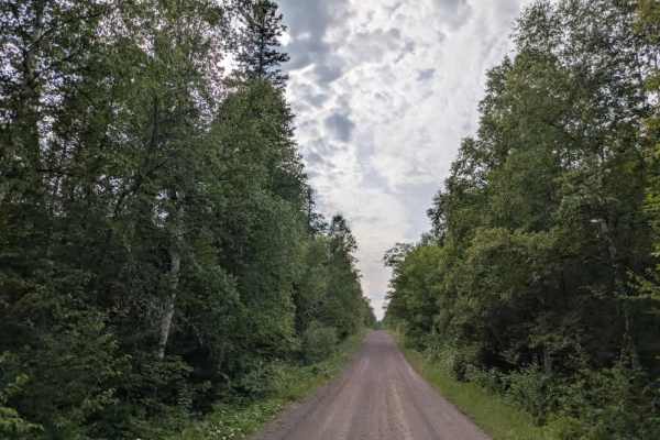
This trail descends gradually through a series of steep, winding sections on its way to the Sugarloaf Cove Nature Center along the north shore of Lake Superior. The road is well-maintained but can be dusty and features some corrugation and a few scattered potholes. It’s a popular route, so drivers should be mindful of local traffic, particularly on blind curves or narrow stretches. A posted sign along the trail indicates that parking is not allowed anywhere on Sugarloaf Trail, with the exception of one designated area for the Superior Hiking Trail that includes limited parking. While the drive is scenic and provides access to the nature center and lakeshore, the trail itself does not offer any formal or dispersed camping opportunities. There are also no available amenities such as drinking water, trash disposal, or toilets along the route. Cell service may be limited or unavailable in this area.
Difficulty
This forest trail is well-maintained and used by adventurers. The route is wide and clear of debris, with established tread and minimal overgrowth, making it ideal for a smooth and scenic drive.
History
The Superior Hiking Trail stretches over 300 miles along Minnesota’s North Shore from Duluth to the Canadian border, following ridgelines above Lake Superior through forests, rivers, and rocky overlooks. It is a hiking-only trail with more than 90 free backcountry campsites spaced every few miles, offering constant elevation changes and dramatic views. With over 50 trailheads, hikers can enjoy everything from short day trips to full thru-hikes featuring waterfalls, gorges, and abundant wildlife.