Trail Overview
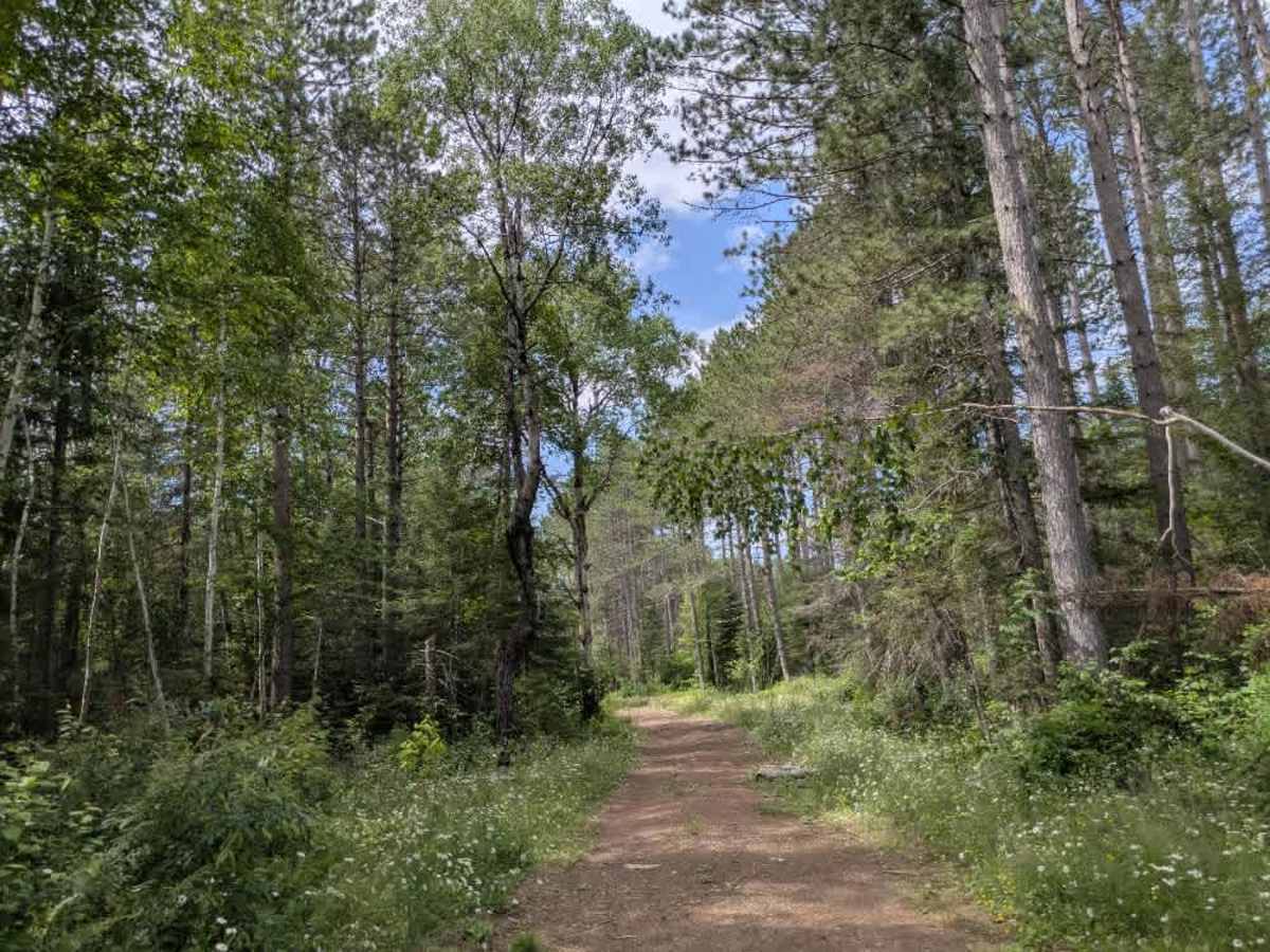
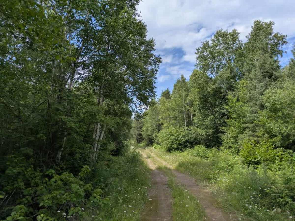
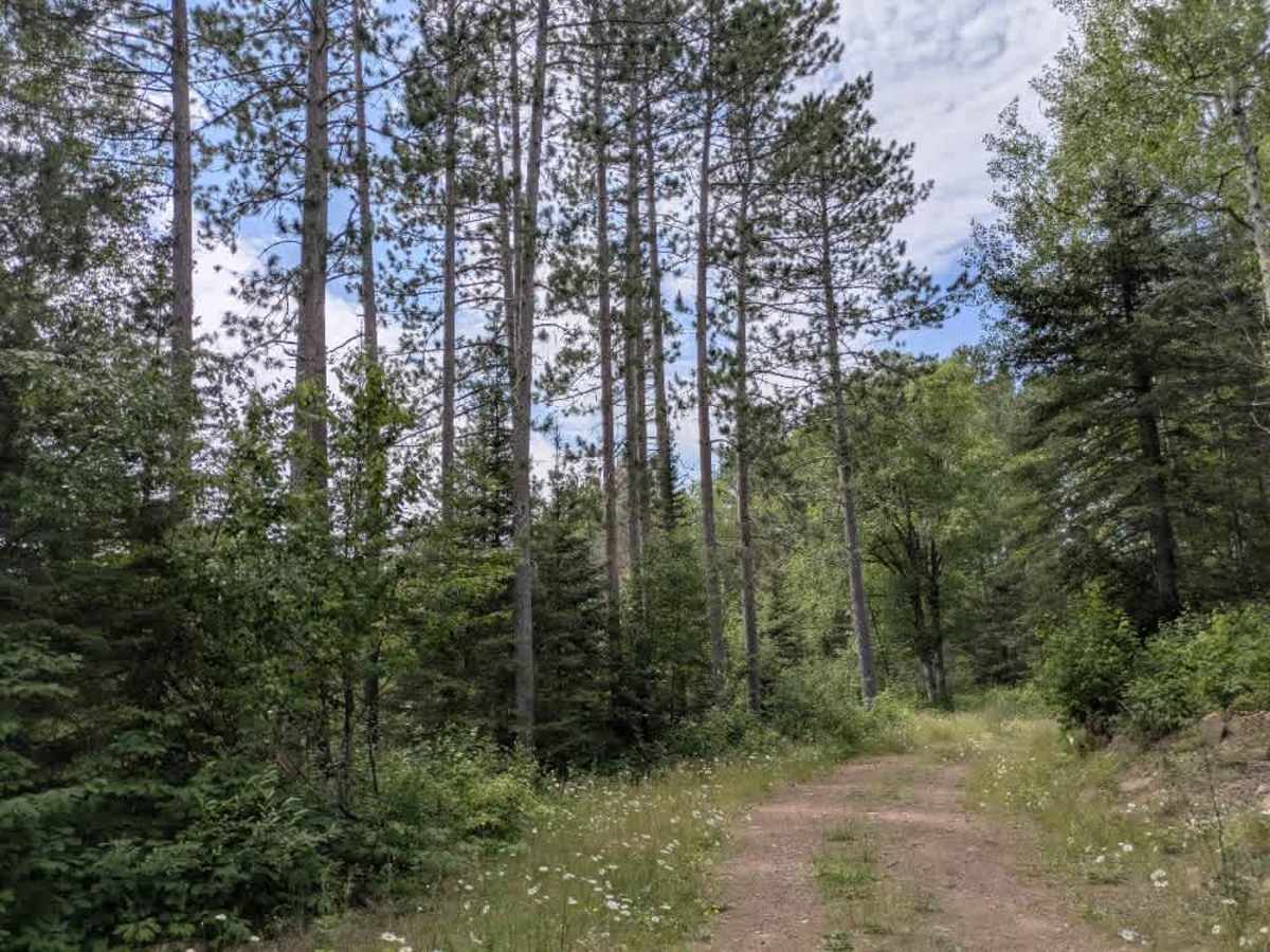
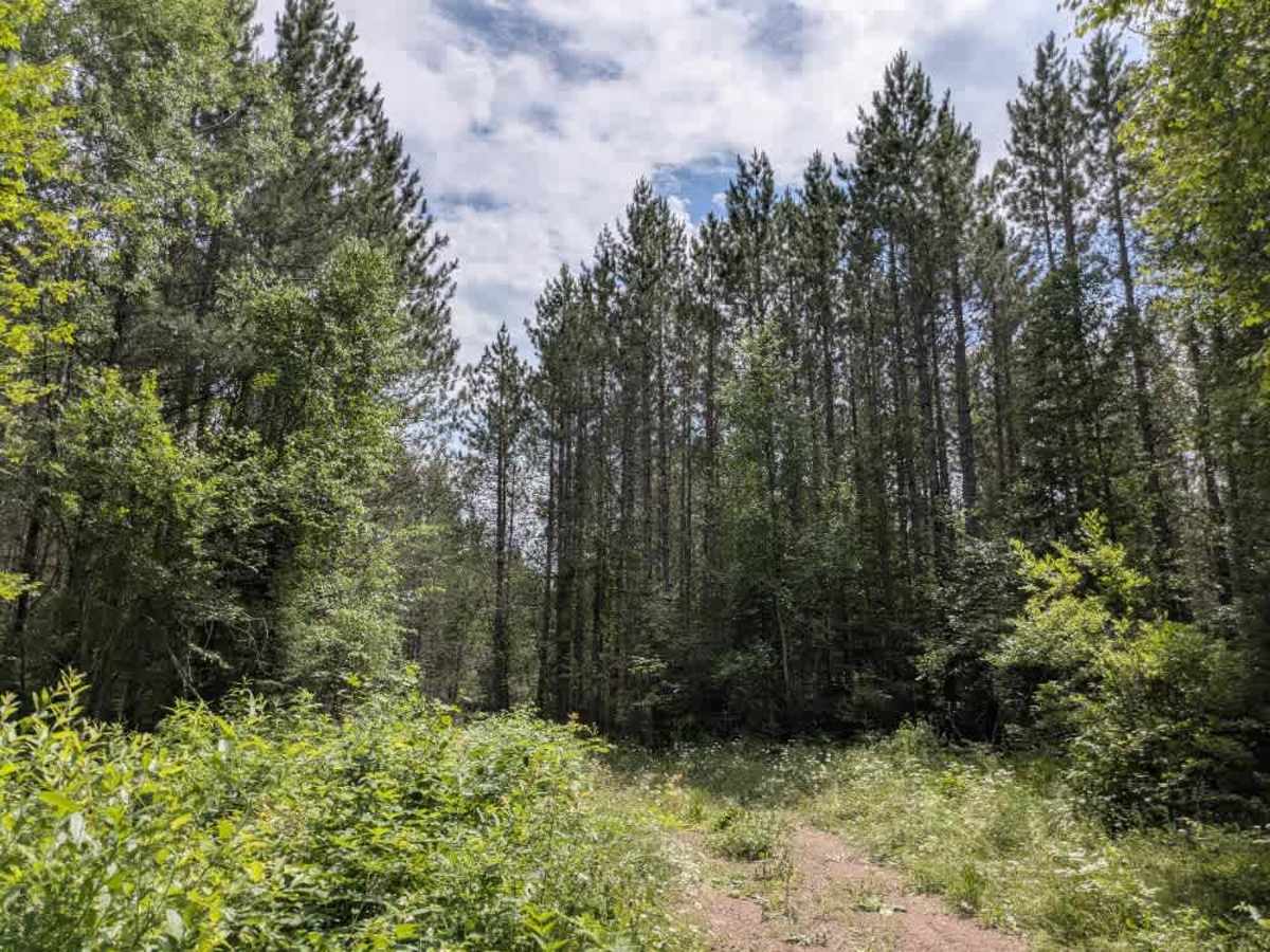
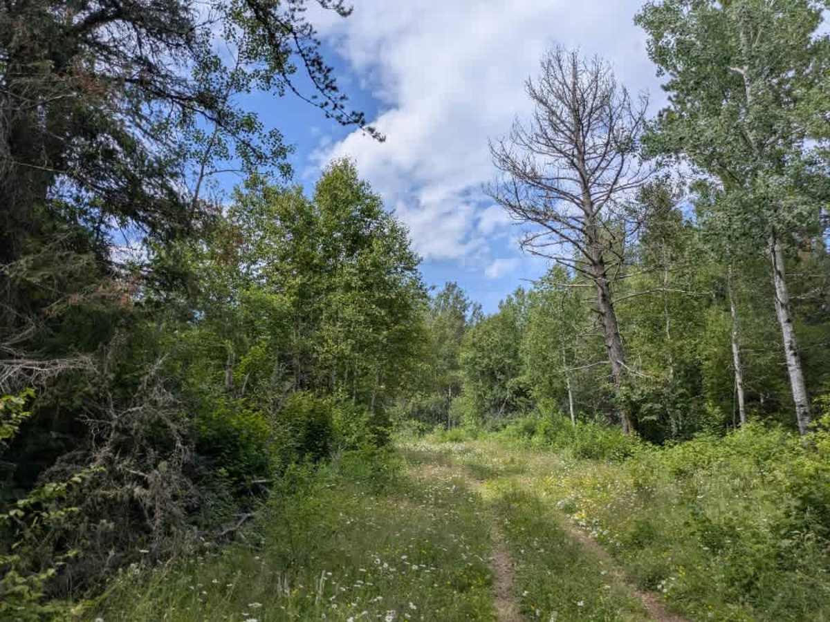
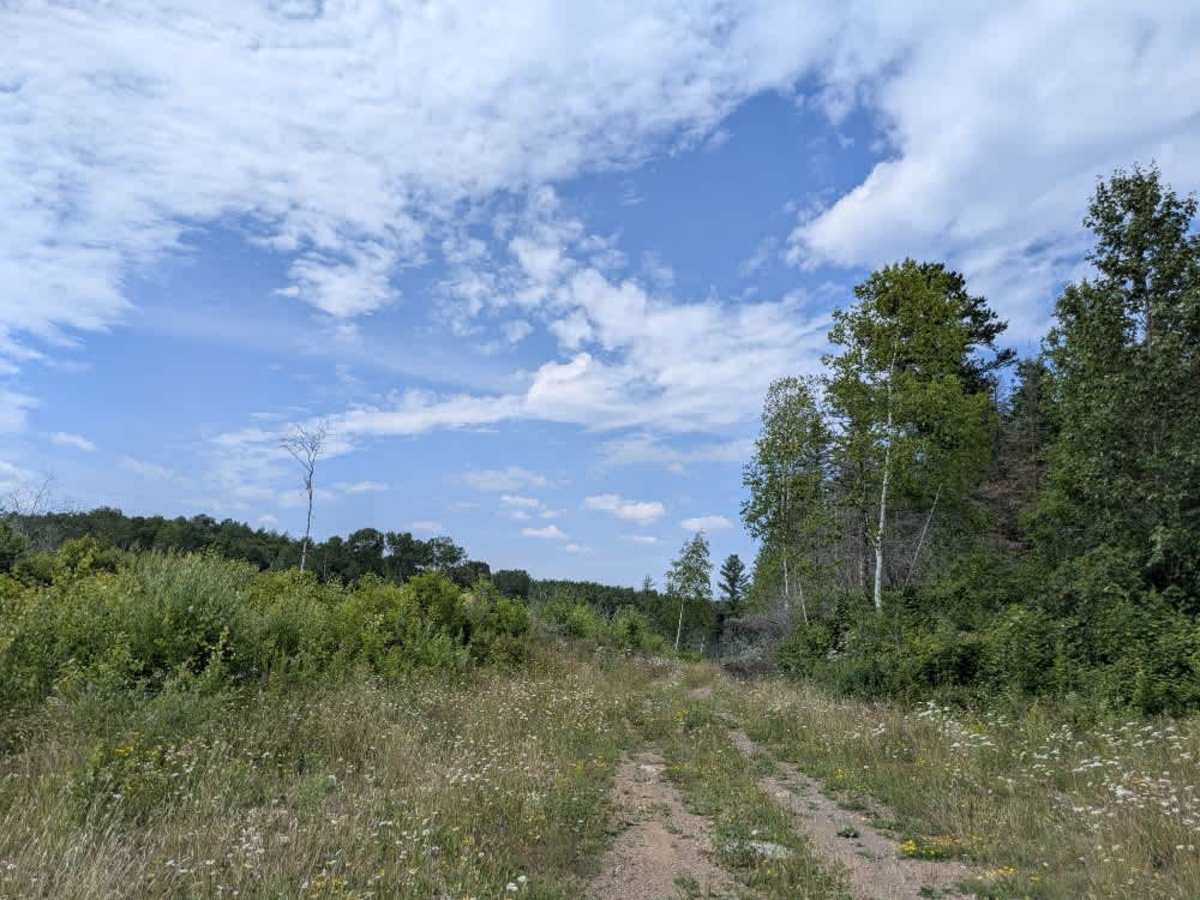
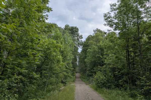
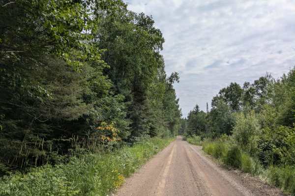
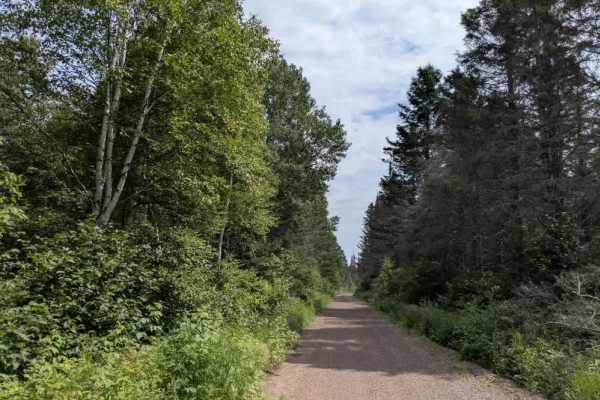
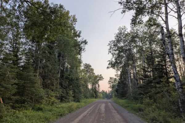
Forest Service Road 362A is a narrow, overgrown route that winds through forested terrain, offering moderate ascents and descents along its length. The trail surface is rough, with numerous rocks that make for a bumpy ride, and a few fallen trees may require navigation or clearing, depending on recent conditions. Access is via Manitou Trail, and while the route is clearly not maintained, it offers a quiet and scenic experience for those traveling by ATV or side-by-side. The surrounding vegetation includes an abundance of wildflowers during the warmer months, and sightings of rabbits and grouse are common along the way. The trail eventually leads to a small, heavily overgrown clearing. From there, it may be possible for smaller vehicles to continue toward the lake, but the path becomes increasingly difficult to follow. There are no formal or informal campsites along this route, and no facilities such as toilets, water sources, or trash bins. Cell reception may be spotty or nonexistent.
Difficulty
This forested route is lightly maintained and typically sees use during peak seasons. Expect occasional fallen limbs, narrowing sections from plant growth, and minor obstacles.