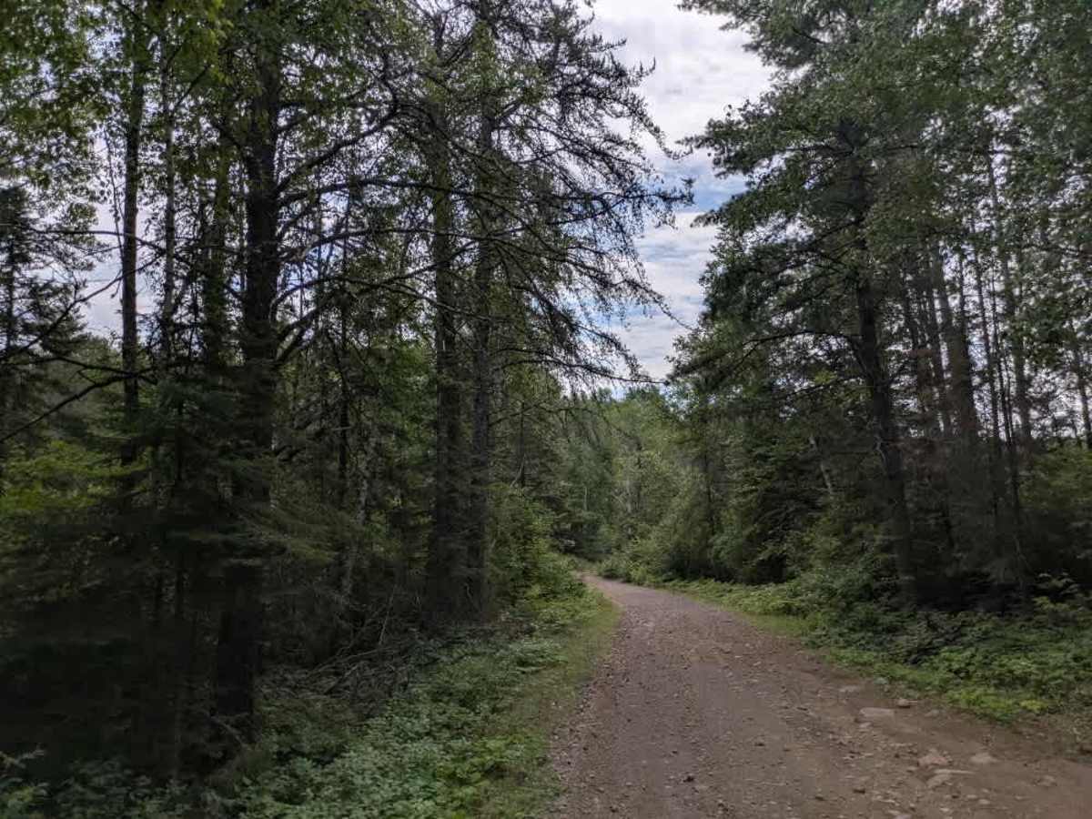
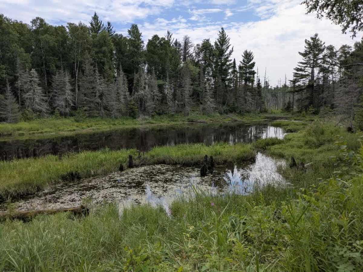
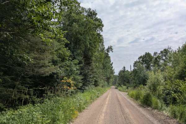
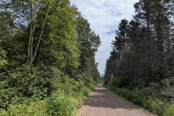
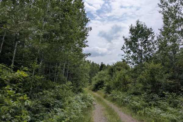
Trail Overview
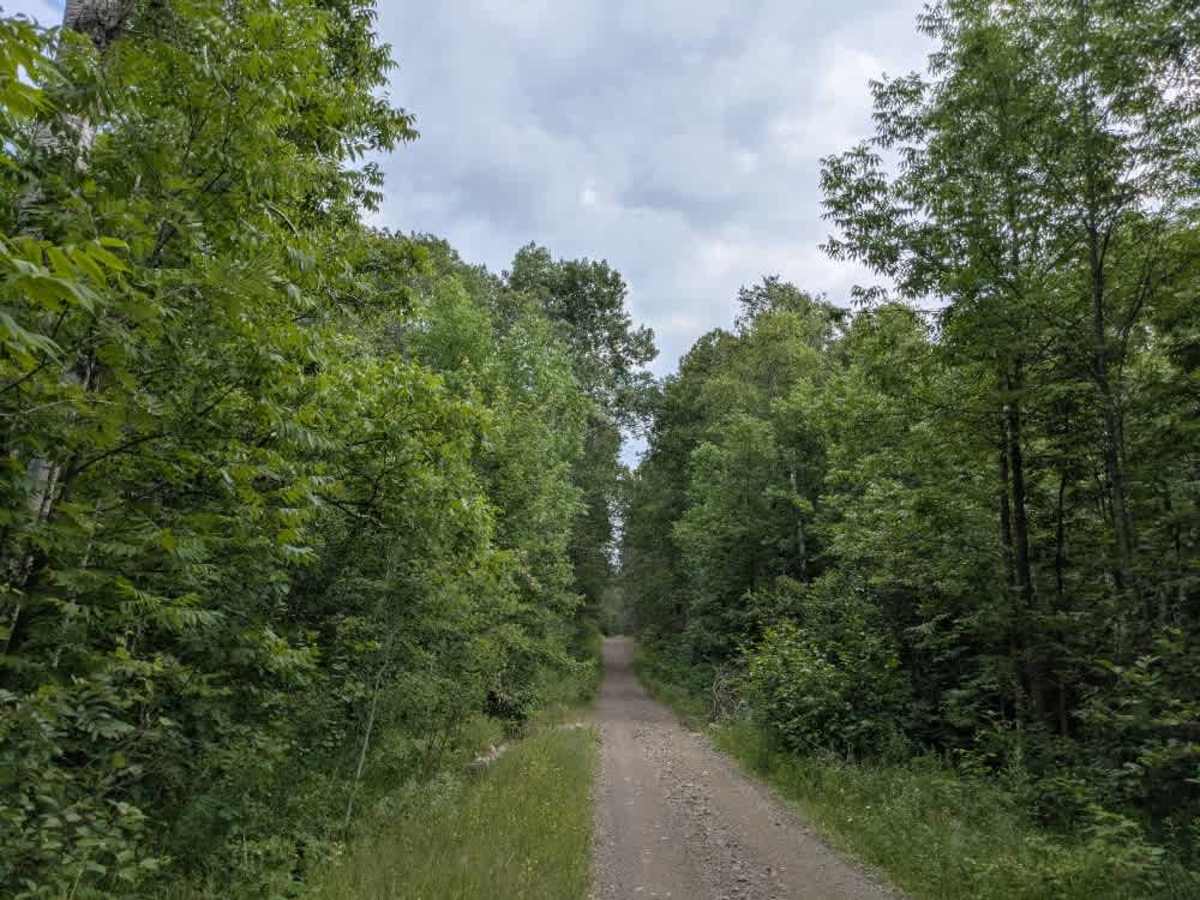
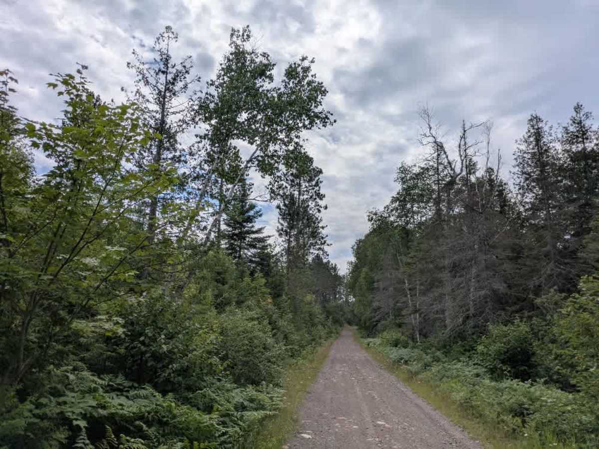
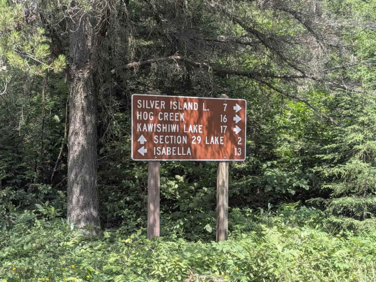
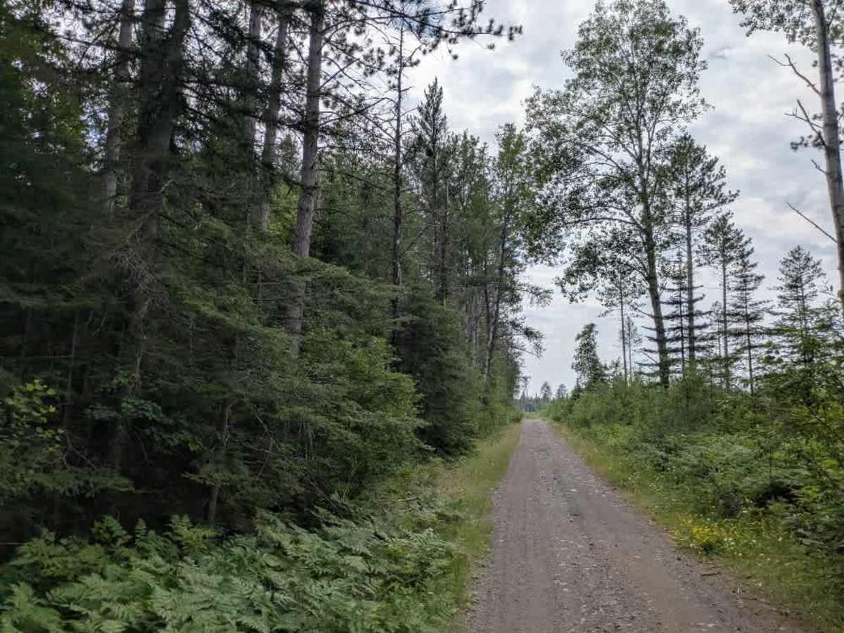
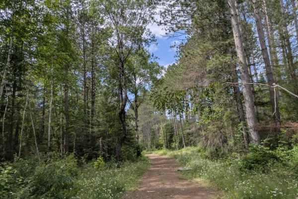
This trail is relatively wide for an ATV route. It follows a gravel path with a mix of large potholes and scattered rocks, making for a rough but navigable surface. Several smaller trails intersect with the main route, though many are either blocked off with boulders or heavily overgrown. There is a clearing just before an intersection that could serve as a spot for dispersed camping or a place to park and turn around. One spur trail appears to be closed with rocks, but still allows passage for smaller vehicles like ATVs or side-by-sides. The route passes through a low-lying dip and continues to another clearing, which also looks suitable for camping or staging. As the trail progresses, it becomes rougher, with rockier ascents and descents, and occasional shallow water crossings. Eventually, the trail reaches a lake and connects with Wanless Lake Road, where two additional offshoot trails can be found. There are no formal campsites along this trail, and it lacks basic services such as water, toilets, and trash disposal. Cell coverage may be limited or unavailable.
Difficulty
This forested route is lightly maintained and typically sees use during peak seasons. Expect occasional fallen limbs, narrowing sections from plant growth, and minor obstacles.