Trail Overview
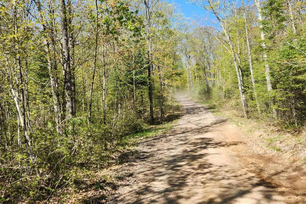
GG to Highbridge is an easy and scenic 11.3-mile gravel forest route that is perfect for drivers of all skill levels seeking a relaxed dirt-road cruise through northern Wisconsin’s dense woodlands. Connecting State Highway GG just outside of Mellen to County Highway C in Highbridge, this trail provides an approachable adventure suitable for standard two-wheel-drive vehicles, high-clearance crossovers, and off-road rigs alike. The route winds through a mixture of tall pine corridors, rolling agricultural fields, and river valleys, offering continuous scenic views and a peaceful backcountry experience. With a gentle elevation range between 1,186 and 1,501 feet, the drive features smooth, wide-graded gravel under normal conditions, making it an excellent warm-up route or a casual afternoon drive.
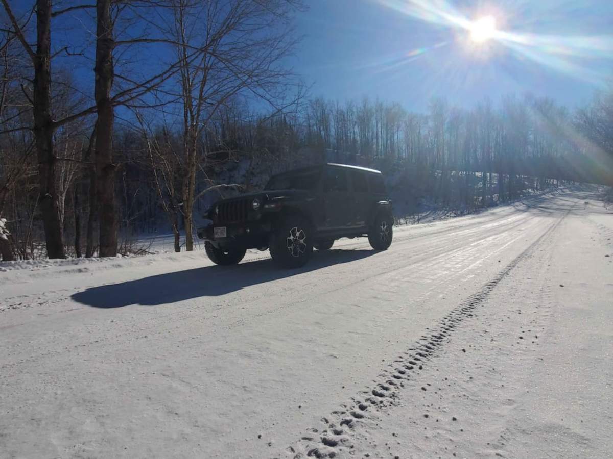
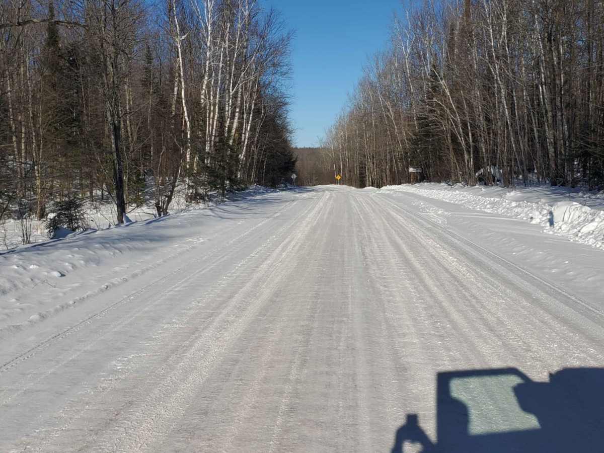
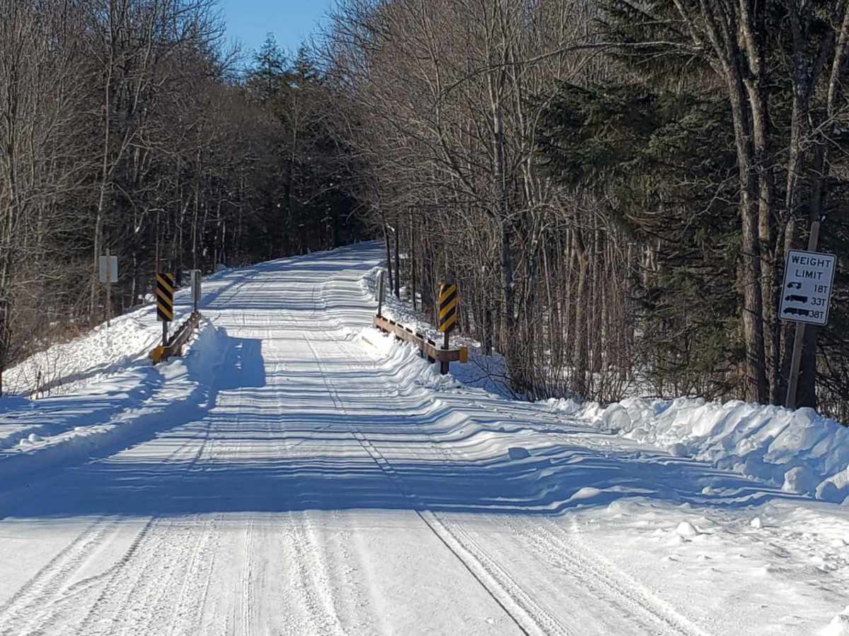
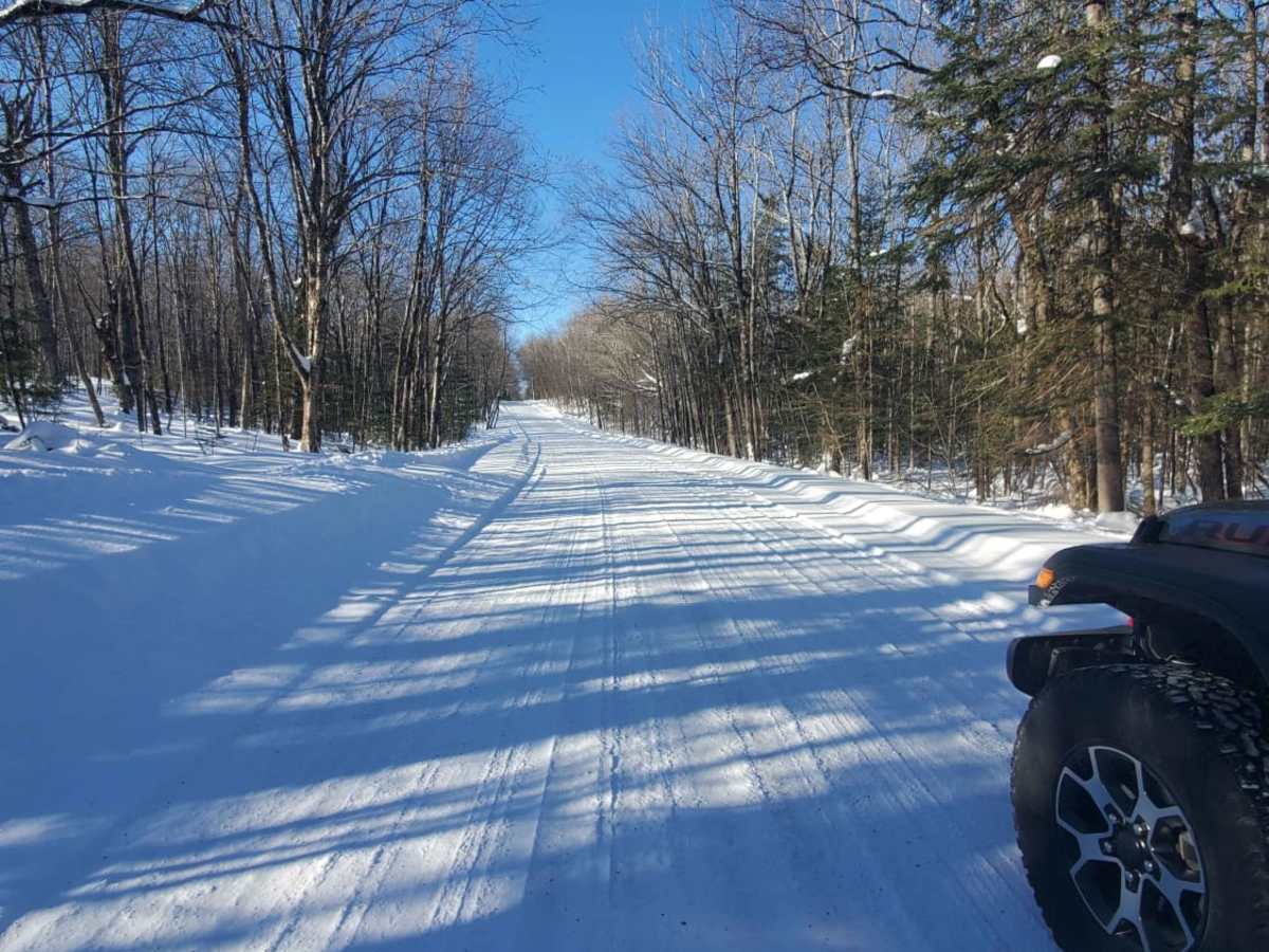
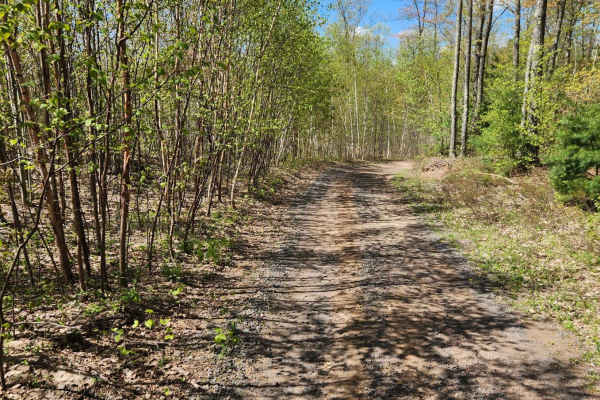
While the primary surface is well-maintained gravel, seasonal changes can bring muddy sections, particularly during the spring thaw or after heavy rainstorms. Although obstacles are virtually nonexistent, drivers should watch for typical forest road hazards like potholes, loose gravel on corners, and local agricultural or logging traffic. The route is accessible throughout most of the year, though winter snows may require four-wheel drive or cause temporary seasonal closures depending on local township maintenance. Visitors can easily combine this route with nearby recreation in the Chequamegon-Nicolet National Forest, making it a highly versatile connection for those exploring Ashland County's outdoor opportunities.
Access Description
This route uses public forest and county roads and does not require fees or special permits for highway-legal vehicles. Seasonal closures or difficult driving conditions may occur during the spring thaw due to mud, or in winter due to snow accumulation, as township maintenance levels can vary.