Trail Overview
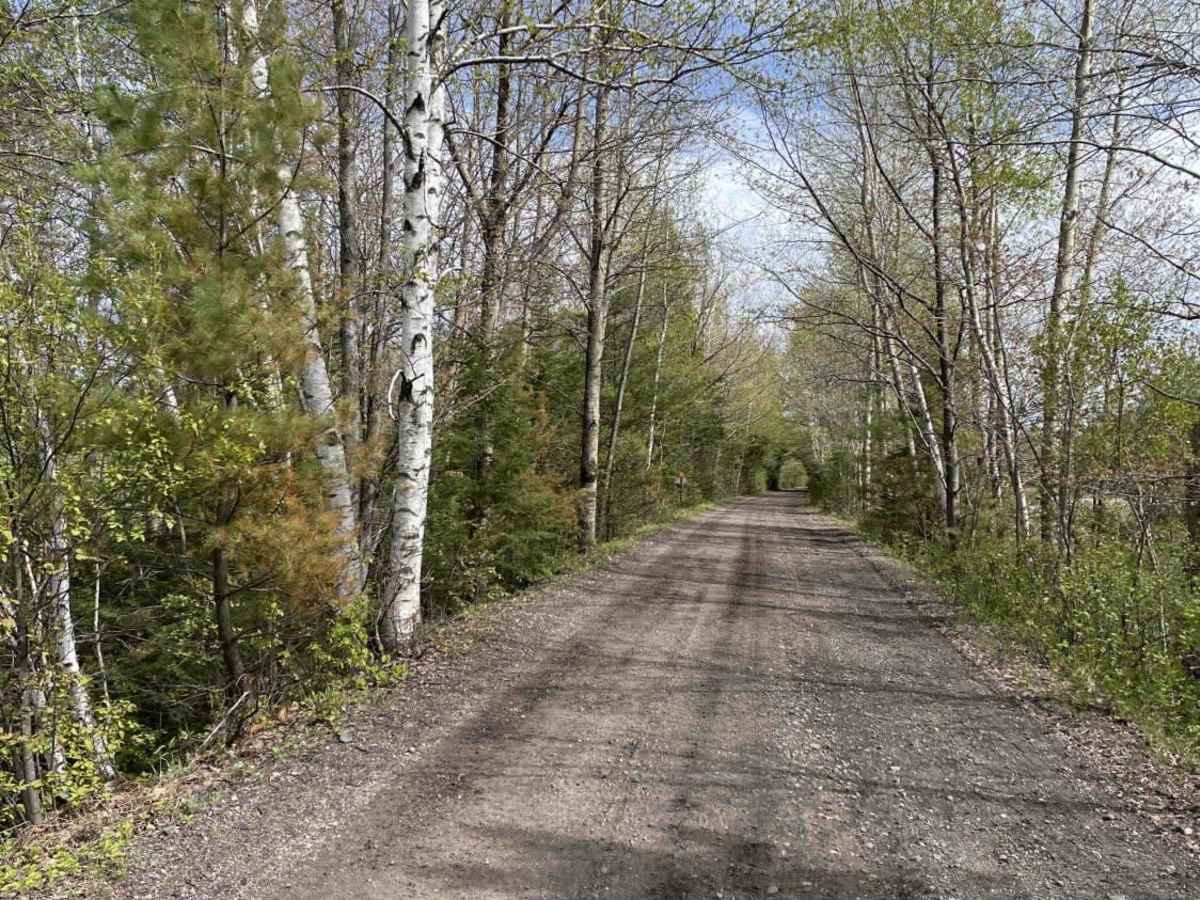
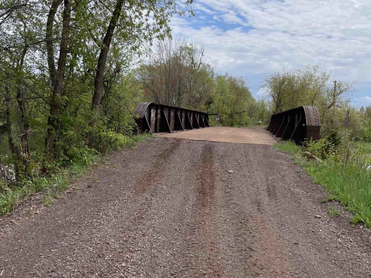
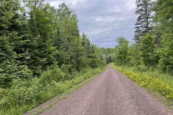
Trail 17 is an exceptionally scenic, family-friendly route connecting Hurley and Mercer, Wisconsin, making it perfect for riders of all skill levels looking to explore the beautiful Northwoods. Spanning approximately 27 miles along a well-maintained, abandoned railroad grade, this easy path offers a smooth, reliable surface with minimal elevation changes, maxing out at around 1,668 feet. The trail primarily follows snowmobile trail 17, occasionally transitioning to short dirt or paved road sections to keep the journey continuous. It serves as an excellent backbone for a day of riding, with straightforward navigation that makes it highly accessible for ATVs, SxSs, and dual-sport motorcycles.
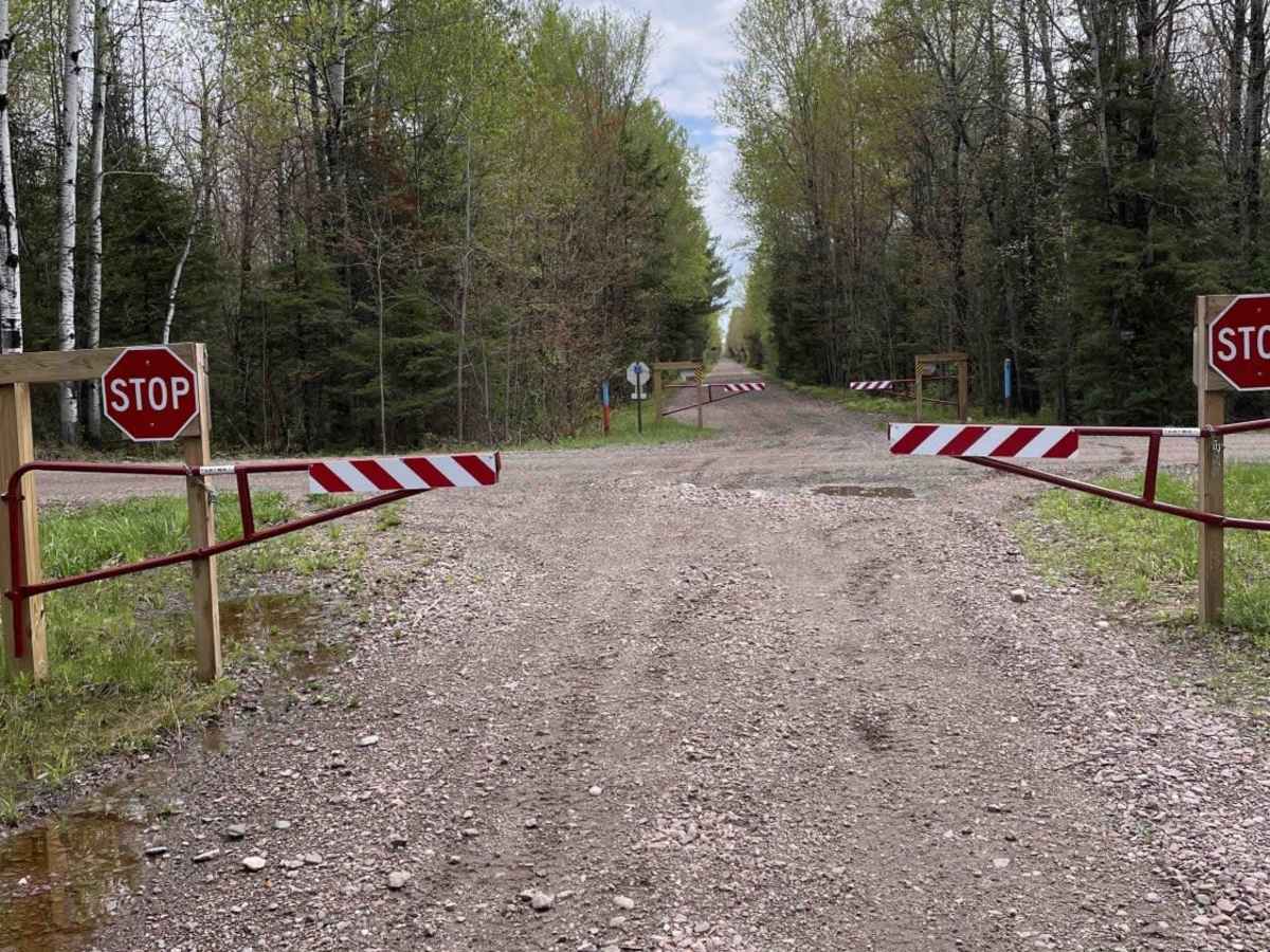
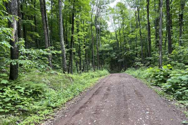
Along the route, riders will find numerous trailside markers pointing toward local businesses, providing ample opportunities to stop for fuel, food, and refreshments. While the railroad-grade surface is generally flat and easy, adventurers should be prepared for occasional muddy stretches and minor water crossings, especially after heavy rainfall, though these present no major obstacles for standard off-road vehicles. Multiple staging areas with parking are available in both Hurley and Mercer, allowing for easy access to the trailhead. Countless interconnected ATV-designated roads and side trails branch off Trail 17, allowing riders to easily customize their itinerary and experience the full depth of Iron County's extensive trail network.