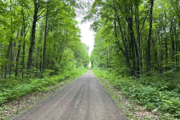
Trail Overview
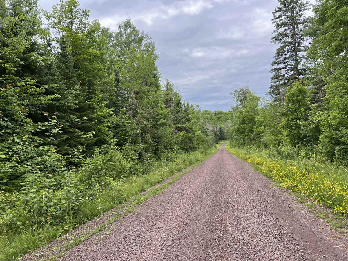
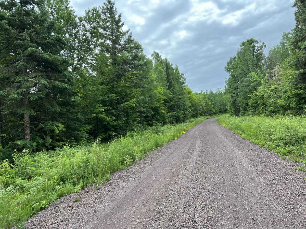
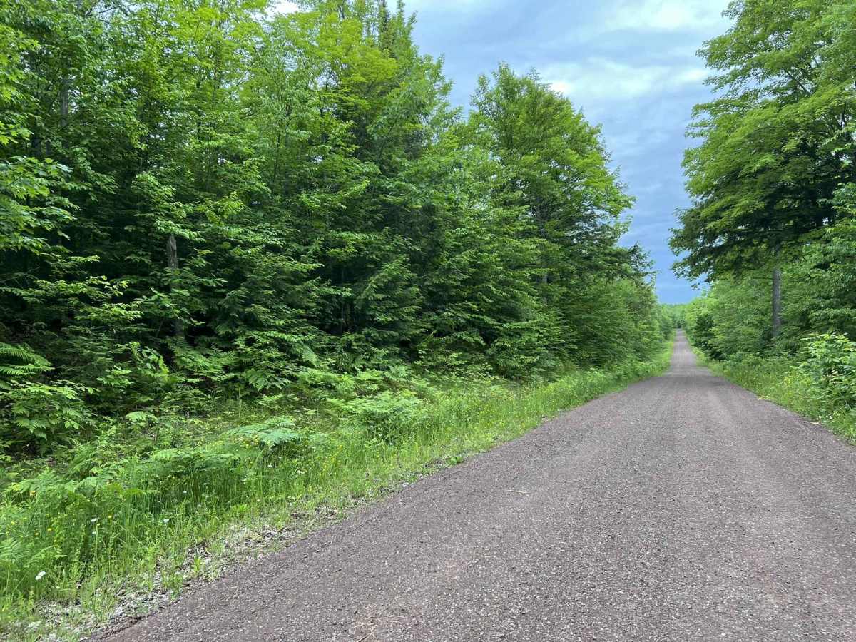
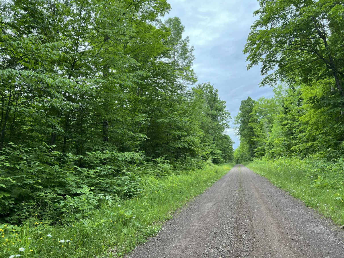
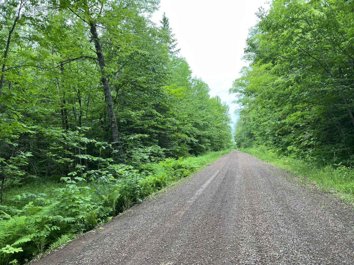
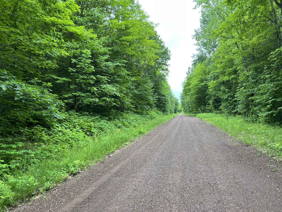
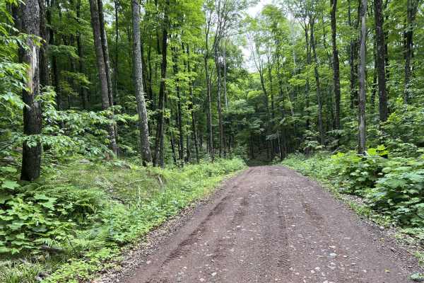
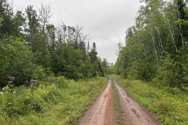
Trail FDR400 is located in Ontonagon County, M,ichigan near the Town of Bergland. This trail begins at its southern trailhead located off Highway M-28. The trail travels north until its endpoint at its intersection with FDR 630. This forest road is wide and well-maintained. It has excellent sight lines as it traverses the Ottawa National Forest. The trail has slow rolling hills throughout, as well as many long sweeping corners. The scenery on the trail is mostly mature hardwoods; however, there is an occasional glimpse of a swamp or lowland area. The trail surface consists of tightly packed gravel that lends itself to control, at speed, as well as reduces dust compared to some other trails. Additionally, there are no low spots within the trail, except for the occasional potholes, so water spots on this trail remain unlikely. Located off this trail is the trailhead for Cascade Falls. This provides walking access to view the falls. Additionally, within the Ottawa National Forest, there are countless other trails that can be accessed, each with its own unique features.
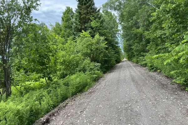
Difficulty
This trail can be navigated by all experience levels. The trail is wide enough for two vehicles to pass in most places; however, some sections narrow down to one vehicle width. Sight lines throughout the trail are okay to good, with only a couple of blind corners. The trail surface is a very hard-packed gravel, which allows for excellent traction with less capable vehicles. It also helps to minimize dust thrown up by other vehicles. This trail is technically open year-round; however, wintertime navigation can be much more challenging due to the amount of snow received in the area. This road is not plowed out under most circumstances.