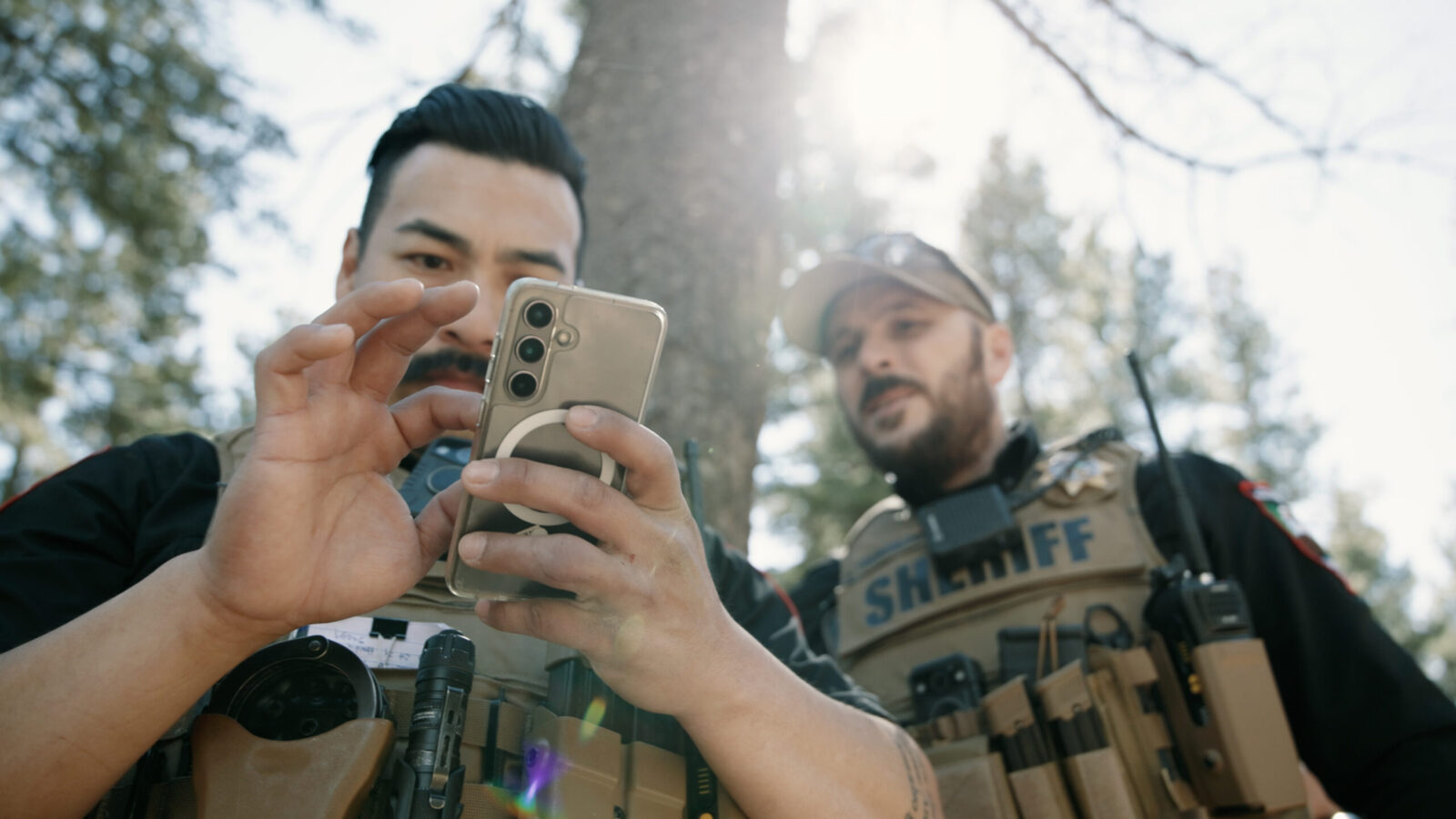

Law Enforcement & Public Safety Information
onX was built by hunters, hikers, and people who take their favorite spots, trails, fishing holes, and backcountry routes seriously. Our users trust us with content they may not share with anyone—including family and friends. That trust is something we protect carefully, and it’s why we’re transparent about exactly how we can work with law enforcement: we don’t share data without a lawful court order.
onX was built by hunters, hikers, and people who take their favorite spots, trails, fishing holes, and backcountry routes seriously. Our users trust us with content they may not share with anyone—including family and friends. That trust is something we protect carefully, and it’s why we’re transparent about exactly how we can work with law enforcement: we don’t share data without a lawful court order.
This portal is a single place for law enforcement officials (LEO) and search and rescue (SAR) to submit legal process, request emergency assistance, and equip their teams. Our goal is to make this process as straightforward as possible.

Our Commitments


We protect our users’ privacy
onX has strict user privacy policies. User map markups (Waypoints and Tracks) are owned and controlled by the user who created them. onX does not sell user data.

We comply with lawful court orders
onX responds to valid court-ordered subpoenas and warrants.
In emergencies, onX will assist LEO and SAR through a formal affidavit process.

We protect public servant privacy
onX complies with state privacy laws and substantiated safety concerns. LEO and public officials can request removal from onX’s parcel data.

We support public safety
onX offers group memberships and discounts for public safety teams, and our platform helps teams coordinate in the field.

Resources
01 Search Warrants and Subpoenas
onX requires a subpoena, court order, or search warrant to disclose information. Send requests to legal@onxmaps.com. Please allow 7–10 business days for a response.
What we can provide: The information that onX can produce is limited to Tracks, Waypoints, and Marked Locations.
What we cannot provide: We do not store, and thus are unable to produce real-time or historical telemetry (location data).
02 Emergency Response Requests
In time-critical missing or at-risk persons situations, onX may be useful. A sheriff or search and rescue organization can complete a formal affidavit defining the data needed and affirming appropriate use.
What we can provide: Recently saved Waypoints, Marked Locations, and Tracks that may indicate where a person was operating—useful context even without real-time location data.
What we cannot provide: Real-time or historical telemetry.
03 Public Servant Privacy
onX’s parcel data displays owner names and tax addresses sourced from over 3,000 U.S. counties. This public record information helps outdoor recreationalists navigate private land responsibly.
We can remove a public servant’s name from parcel data if they are protected by a state or local law governing information removal, have a substantiated safety concern, or if the originating county has already redacted that information from public records.
To submit a removal request, please fill out the request form or contact legal@onxmaps.com with questions.
04 Get onX for Your Department or Agency
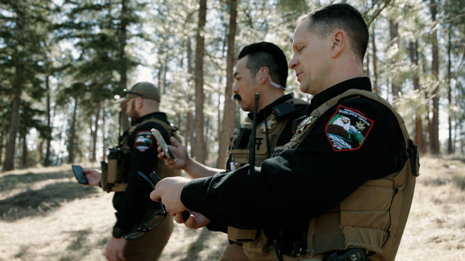
onX is often the common mapping tool for both recreational users and public safety teams. Equip your team with offline-ready maps, land ownership data, trails, closures, and shareable waypoints and tracks for search and rescue, patrol, investigations, fire, and disaster response.
We offer group memberships and agency purchasing to make adoption simple.

Not sure if this portal is right for you?
This hub is designed for verified law enforcement and public safety partners working through legitimate legal channels. It is not a tool for obtaining private user information outside of lawful process. For questions about appropriate use, contact legal@onxmaps.com.